Bullgill

Settlement in Cumberland Allerdale

England

Bullgill

Road from Allonby Allonby road junction
Road from Allonby Credit: P Gaskell

Bullgill is a small village located in the picturesque district of Cumberland, in the northwest region of England. Situated in the heart of the Lake District National Park, this rural settlement offers residents and visitors alike a tranquil and idyllic environment surrounded by breathtaking natural beauty.

The village itself is characterized by its charming stone cottages, rolling hills, and lush green fields. With a population of around 200 people, Bullgill exudes a close-knit community atmosphere. The residents take pride in preserving the village's rich history, with many of the buildings dating back several centuries.

Despite its small size, Bullgill boasts a number of amenities to cater to its residents. These include a local pub, a primary school, a post office, and a village hall where various events and gatherings take place. Additionally, the village is well-connected to nearby towns and cities, with good road access and public transportation links.

The surrounding area offers an abundance of outdoor activities for nature enthusiasts. Visitors can explore the nearby fells, go hiking or cycling along the numerous trails, or simply take in the stunning views of the nearby lakes and mountains. The village is also conveniently located near several popular tourist attractions, such as Lake Windermere and Scafell Pike, the highest peak in England.

In summary, Bullgill in Cumberland is a quaint and picturesque village nestled in the stunning Lake District National Park. With its rich history, friendly community, and breathtaking surroundings, it is a truly remarkable place to visit or call home.

If you have any feedback on the listing, please let us know in the comments section below.
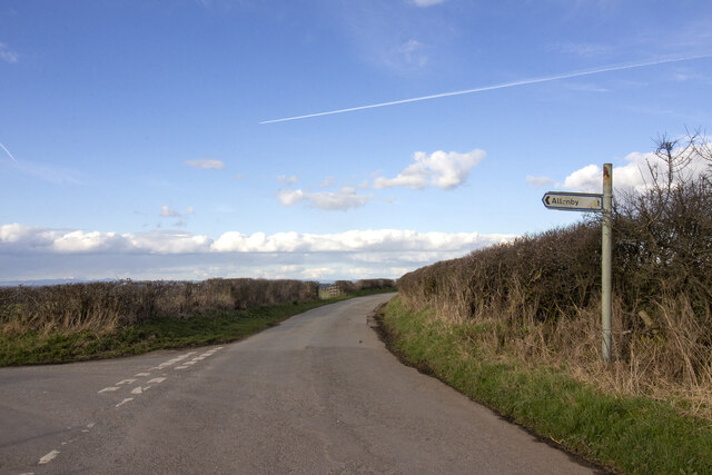
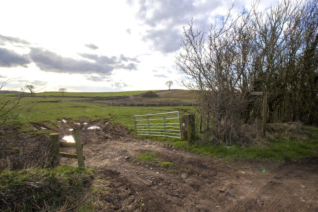
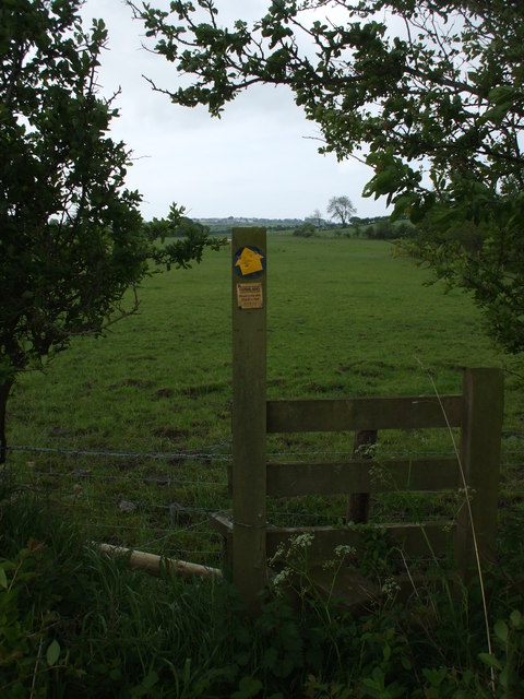
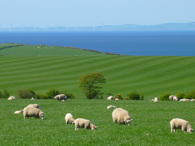
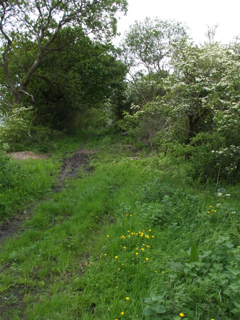
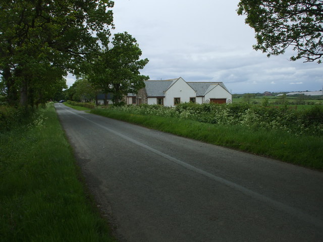
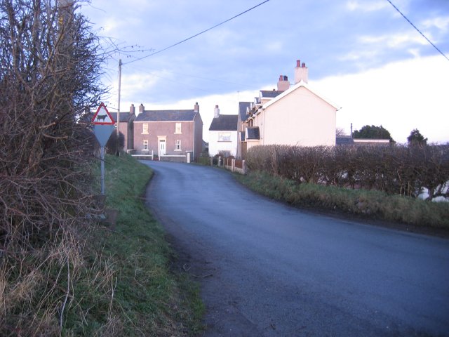
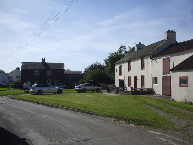
Bullgill Images

Images are sourced within 2km of 54.732899/-3.404661 or Grid Reference NY0938. Thanks to Geograph Open Source API. All images are credited.

Road from Allonby Allonby road junction
Road from Allonby
Allonby road junction
Gateway to field Gateway to field with footpath and newly planted hedgerow in the middle distance.
Gateway to field
Gateway to field with footpath and newly planted hedgerow in the middle distance.
Footpath to Allerby Nowt but just in this grid square.
Footpath to Allerby
Nowt but just in this grid square.
Pasture, Allerby Looking across the Solway to the Galloway Hills.
Pasture, Allerby
Looking across the Solway to the Galloway Hills.
Gateway to field
Gateway to field
Direction Sign – Signpost near Allerby Located on the northwest side of the t junction east of Allerby in Oughterside and Allerby parish. 3 arms and annulus finial. See also <a title="https://www.geograph.org.uk/photo/6506610" href="https://www.geograph.org.uk/photo/6506610">Link</a>.

Milestone Society National ID: CU_NY0939
Direction Sign – Signpost near Allerby
Located on the northwest side of the t junction east of Allerby in Oughterside and Allerby parish. 3 arms and annulus finial. See also Link. Milestone Society National ID: CU_NY0939
The lane from Allerby to Allonby
Open countryside near Prospect The farm just visible on the horizon is Hazel Mount in <a href="https://www.geograph.org.uk/gridref/NY0940">NY0940</a>.
Open countryside near Prospect
The farm just visible on the horizon is Hazel Mount in NY0940.
Direction Sign – Signpost in Gilcrux Located on the west side of a junction in the village in Gilcrux parish. 2 arms and annulus finial. See also <a title="https://www.geograph.org.uk/photo/5005441" href="https://www.geograph.org.uk/photo/5005441">Link</a>.

Milestone Society National ID: CU_NY1137
Direction Sign – Signpost in Gilcrux
Located on the west side of a junction in the village in Gilcrux parish. 2 arms and annulus finial. See also Link. Milestone Society National ID: CU_NY1137
Direction Sign – Signpost at Greengill, near Gilcrux Located on the west side of a junction at Greengill. Gilcrux parish. 3 arms and annulus finial.

Milestone Society National ID: CU_NY1037
Direction Sign – Signpost at Greengill, near Gilcrux
Located on the west side of a junction at Greengill. Gilcrux parish. 3 arms and annulus finial. Milestone Society National ID: CU_NY1037
Bulgill railway station (site), Cumbria Opened in 1845 by the Maryport & Carlisle Railway on what is today the line from Barrow-in-Furness to Carlisle, this station closed to passengers in 1960 and completely in 1964. 
View north east towards Aspatria and Carlisle. The Carlisle-bound platform and main building were to the left of the line on this side of the bridge. The Maryport-bound platform was on the other side of the bridge, behind the camera position.
Bulgill railway station (site), Cumbria
Opened in 1845 by the Maryport & Carlisle Railway on what is today the line from Barrow-in-Furness to Carlisle, this station closed to passengers in 1960 and completely in 1964. View north east towards Aspatria and Carlisle. The Carlisle-bound platform and main building were to the left of the line on this side of the bridge. The Maryport-bound platform was on the other side of the bridge, behind the camera position.
Bulgill railway station (site), Cumbria Opened in 1845 by the Maryport & Carlisle Railway on what is today the line from Barrow-in-Furness to Carlisle, this station closed to passengers in 1960 and completely in 1964. 
View south west towards Dearham Bridge, Maryport and Barrow. The Maryport-bound platform was to the left of the line on this side of the bridge. The Carlisle-bound platform and main building were on the other side of the bridge, behind the camera position. The steps down to platform level can still be seen on the left.
Bulgill railway station (site), Cumbria
Opened in 1845 by the Maryport & Carlisle Railway on what is today the line from Barrow-in-Furness to Carlisle, this station closed to passengers in 1960 and completely in 1964. View south west towards Dearham Bridge, Maryport and Barrow. The Maryport-bound platform was to the left of the line on this side of the bridge. The Carlisle-bound platform and main building were on the other side of the bridge, behind the camera position. The steps down to platform level can still be seen on the left.
Crosby Villa on the A596 Built as a pit village, the rows of miners cottages feel slightly strange in a modern countryside setting, but must once been full of hustle & bustle. 
When I was looking for info on this small settlement it turned out that there was a fatal crash on this very bend just 6 months previous.
Crosby Villa on the A596
Built as a pit village, the rows of miners cottages feel slightly strange in a modern countryside setting, but must once been full of hustle & bustle. When I was looking for info on this small settlement it turned out that there was a fatal crash on this very bend just 6 months previous.
Farm track to Homerigg Tarmacked and classed as a minor C road for the first half a mile, this is a very narrow road, and was seriously difficult to turn around on, despite having a field gate entrance to utilise, I think I managed a 22 point turn!
Farm track to Homerigg
Tarmacked and classed as a minor C road for the first half a mile, this is a very narrow road, and was seriously difficult to turn around on, despite having a field gate entrance to utilise, I think I managed a 22 point turn!
Overgrown Bridleway to Crosby Take a machette if you're contemplating on riding or cycling down here.
Overgrown Bridleway to Crosby
Take a machette if you're contemplating on riding or cycling down here.
Bungalow next to New Grange Farm Despite not showing up on either the 50,000 or 25,000 OS Map, when I zoomed the map up to 10,000 it was there.
Bungalow next to New Grange Farm
Despite not showing up on either the 50,000 or 25,000 OS Map, when I zoomed the map up to 10,000 it was there.
Farmland, Crosscanonby Oil-seed rape beside the A596.
Farmland, Crosscanonby
Oil-seed rape beside the A596.
Pasture, Allerby Sheep to the south of the village on the hillside above Brunsow Beck.
Pasture, Allerby
Sheep to the south of the village on the hillside above Brunsow Beck.
Show me another place!

Bullgill is located at Grid Ref: NY0938 (Lat: 54.732899, Lng: -3.404661)

Administrative County: Cumbria

District: Allerdale

Police Authority: Cumbria

What 3 Words

///ankle.cornfield.chatting. Near Dearham, Cumbria

Nearby Locations

Bullgill

Related Wikis

Bullgill

Bullgill is a hamlet in Cumbria, England. == Geography == It is located to the northeast of Dearham, 4.3 miles (6.9 km) by road northeast of Maryport and...

Bullgill railway station

Bullgill or Bull Gill was a railway station on the Maryport and Carlisle Railway (M&CR) serving Bullgill in Cumbria. The station was opened by the M&CR...

Crosby Villa

Crosby Villa is a hamlet in the civil parish of Crosscanonby in Cumbria, United Kingdom. It is located on the A596 road, 3.75 miles (6.04 km) north-east...

Allerby

Allerby is a hamlet in the civil parish of Oughterside and Allerby, Cumbria, England. == Etymology == Allerby was originally called " 'Ailward's', that...

Nearby Amenities

Located within 500m of 54.732899,-3.404661
Power: tower
Lat/Long: 54.72888/-3.4056159
Power: tower
Lat/Long: 54.7295694/-3.4042049
Power: tower
Lat/Long: 54.7297855/-3.4079175
Power: tower
Lat/Long: 54.7307259/-3.4035811
Power: tower
Lat/Long: 54.7312323/-3.4023554
Power: tower
Lat/Long: 54.7325016/-3.4016339
Power: tower
Ref: FT 136
Source Ref: survey
Lat/Long: 54.7326231/-3.4075043
Power: tower
Lat/Long: 54.7327455/-3.4006773
Power: tower
Lat/Long: 54.7339791/-3.4000116
Power: tower
Lat/Long: 54.7347593/-3.3984511
Power: tower
Lat/Long: 54.7354666/-3.4070984
Telephone
Defibrillator
Booth: KX100
Covered: booth
Defibrillator Location: inside old phone box in Bulgill
Emergency: defibrillator
Man Made: telephone_box
Lat/Long: 54.7323686/-3.4043719
Recycling
Lat/Long: 54.7321897/-3.4042057
Post Box
Post Box Type: lamp
Ref: CA15 147
Lat/Long: 54.7323446/-3.4043467
John Willis Motor Repairs
Addr City: Bulgill
Addr Postcode: CA15 6TN
Addr Street: Mill Hill
Phone: +44 1900 813827
Shop: car_repair
Lat/Long: 54.7341269/-3.4047613
Bulgill
Place: hamlet
Wikidata: Q4996895
Wikipedia: en:Bullgill
Lat/Long: 54.7334729/-3.4049342
Waterway: weir
Lat/Long: 54.7323305/-3.4055275
Advertising: board
Lat/Long: 54.7323167/-3.4043236
Power: pole
Lat/Long: 54.7298006/-3.4095524
Power: pole
Lat/Long: 54.7304832/-3.4080373
Power: pole
Lat/Long: 54.7311957/-3.4064706
Power: pole
Lat/Long: 54.7318963/-3.4049122
Power: pole
Lat/Long: 54.7321374/-3.4040131
Power: pole
Lat/Long: 54.7324453/-3.4028907
Power: pole
Lat/Long: 54.7321362/-3.4024732
Power: pole
Lat/Long: 54.7314774/-3.4016382
Power: pole
Lat/Long: 54.7309284/-3.4005324
Power: pole
Lat/Long: 54.7303854/-3.3995114
The data included in this document is from www.openstreetmap.org. The data is made available under ODbL.

Have you been to Bullgill?

Leave your review of Bullgill below (or comments, questions and feedback).