Wothorpe

Civil Parish in Northamptonshire

England

Wothorpe

Red Lion Square, Stamford The church in the image is just one of many that cluster together in this town.
Red Lion Square, Stamford Credit: Kokai

The requested URL returned error: 429 Too Many Requests

If you have any feedback on the listing, please let us know in the comments section below.
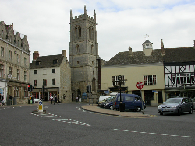
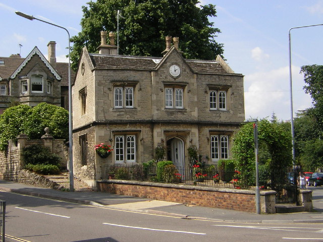
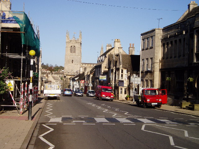
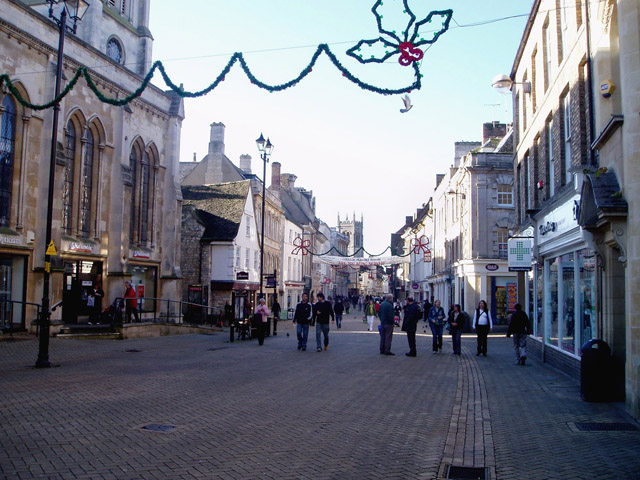
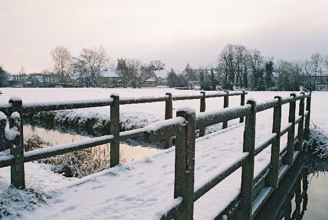
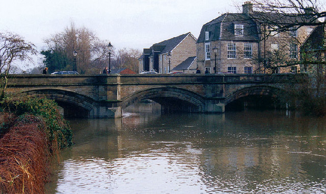
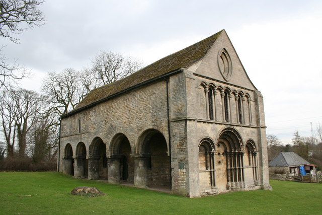
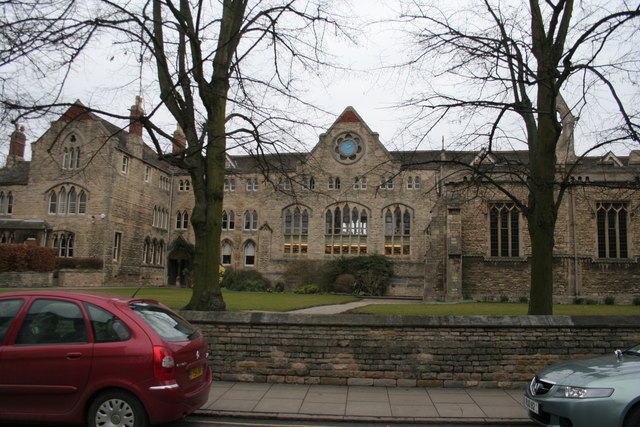
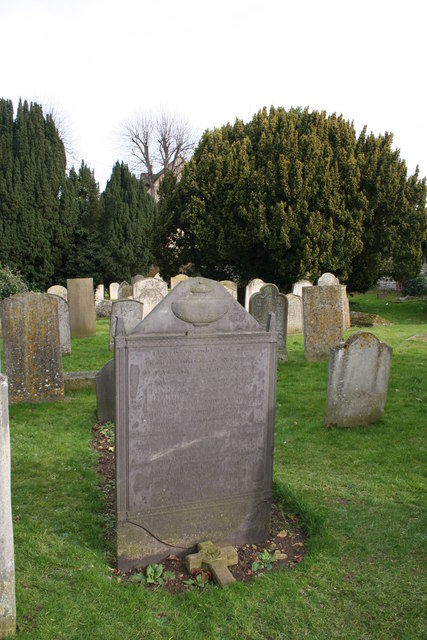
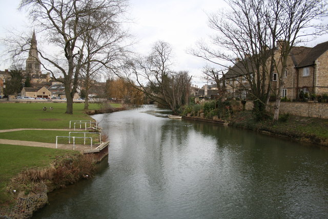
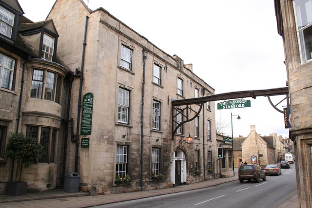
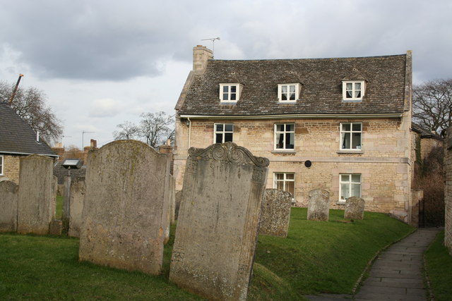
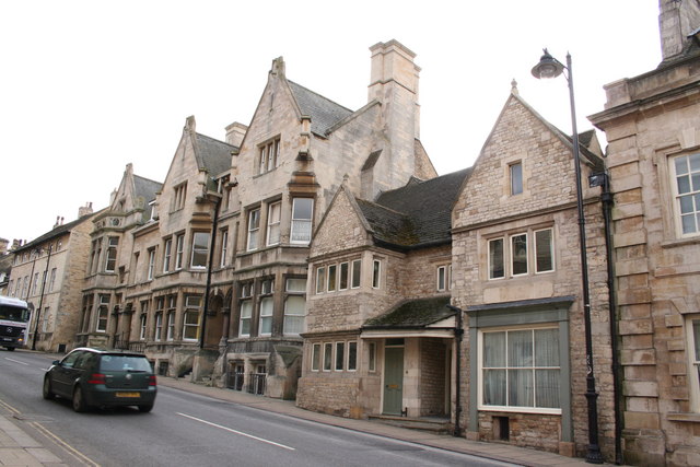
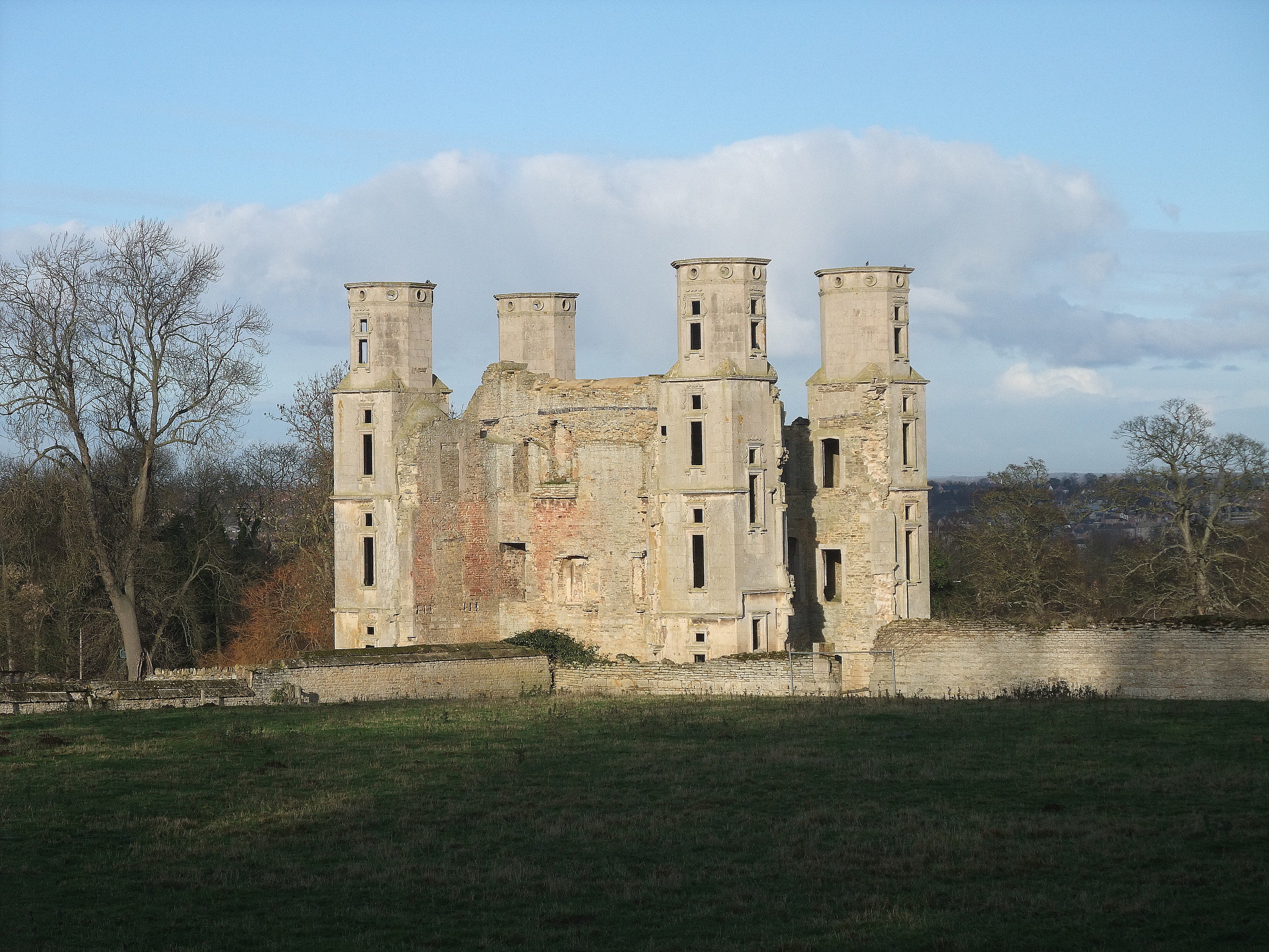
Wothorpe Images

Images are sourced within 2km of 52.639112/-0.483958 or Grid Reference TF0205. Thanks to Geograph Open Source API. All images are credited.

Red Lion Square, Stamford The church in the image is just one of many that cluster together in this town.
Red Lion Square, Stamford
The church in the image is just one of many that cluster together in this town.
Filming Pride & Prejudice in Stamford Lincolnshire During September 2004 the market square in front of the Stamford Arts Centre was used for the village of Meryton in the recent production. Several false fronts were erected to hide buildings of the wrong period and several tons of sand used to hide the tarmac
Filming Pride & Prejudice in Stamford Lincolnshire
During September 2004 the market square in front of the Stamford Arts Centre was used for the village of Meryton in the recent production. Several false fronts were erected to hide buildings of the wrong period and several tons of sand used to hide the tarmac
The Clock House The Clock House reputedly stands on the site of Stamford Eleanor Cross, destroyed during the Commonwealth.
The Clock House
The Clock House reputedly stands on the site of Stamford Eleanor Cross, destroyed during the Commonwealth.
High Street St Martin's, Stamford Stamford is noted for its coaching inns and its churches. This photo shows an example of each: the Bull & Swan and St Martin's. This street formed part of the Great North Road, which explains the presence of the inns.
High Street St Martin's, Stamford
Stamford is noted for its coaching inns and its churches. This photo shows an example of each: the Bull & Swan and St Martin's. This street formed part of the Great North Road, which explains the presence of the inns.
Stamford High Street Stamford developed as an important market town on the Great North Road, and still retains an air of prosperity.
Stamford High Street
Stamford developed as an important market town on the Great North Road, and still retains an air of prosperity.
Stamford Meadows footbridge in the snow Rather tucked up in one corner of this grid square, but I thought a snowy image might be a nice one to kick things off! 
Bound to be more picture opportunities further west following the river towards the A1 but I didn't have my wellies!
Stamford Meadows footbridge in the snow
Rather tucked up in one corner of this grid square, but I thought a snowy image might be a nice one to kick things off! Bound to be more picture opportunities further west following the river towards the A1 but I didn't have my wellies!
Bridge over the River Welland at Stamford
Mummers on Stamford High Street. Entertaining the Christmas shoppers in one of the old Five Boroughs of the Danelaw. 
The characters shown are, from left to right, the hobby horse (the Doctor's horse – "he who ain't been yet"); the Turkish Knight; Beelzebub; Father Christmas; St George; the Doctor. Not shown (and not always present) is Little Johnny Jack.  - thanks to Simon Garbutt.
Mummers on Stamford High Street.
Entertaining the Christmas shoppers in one of the old Five Boroughs of the Danelaw. The characters shown are, from left to right, the hobby horse (the Doctor's horse – "he who ain't been yet"); the Turkish Knight; Beelzebub; Father Christmas; St George; the Doctor. Not shown (and not always present) is Little Johnny Jack. - thanks to Simon Garbutt.
St.Leonard's Priory In a town rich in historic buildings, St.Leonard's Priory is by far the best Norman architecture. Reputedly founded in 1082, the remains seen here are the early 12th century west front and 5 bays of a 6 bay north arcade. The site was extensively excavated 1967-72 and the finds are displayed in the Stamford Museum.
St.Leonard's Priory
In a town rich in historic buildings, St.Leonard's Priory is by far the best Norman architecture. Reputedly founded in 1082, the remains seen here are the early 12th century west front and 5 bays of a 6 bay north arcade. The site was extensively excavated 1967-72 and the finds are displayed in the Stamford Museum.
All Saints, Stamford
St. John the Baptist, Stamford
Stamford Baron, St. Martin
Stamford School Built on the site of the former Brazenose College, an out station of Oxford university but bought by Stamford School in the 1890s.
Stamford School
Built on the site of the former Brazenose College, an out station of Oxford university but bought by Stamford School in the 1890s.
Daniel Lambert's grave This grave can be found in St.Martin's churchyard for Daniel Lambert who found fame for being incredibly fat ! His grave records that "He measured three feet one inch round the leg, nine feet four inches round the body and weighed fifty two stone eleven pounds". He died on 21st June 1809 aged 39 years.
Daniel Lambert's grave
This grave can be found in St.Martin's churchyard for Daniel Lambert who found fame for being incredibly fat ! His grave records that "He measured three feet one inch round the leg, nine feet four inches round the body and weighed fifty two stone eleven pounds". He died on 21st June 1809 aged 39 years.
River Welland Looking east, to the right Northamptonshire, to the left Lincolnshire
River Welland
Looking east, to the right Northamptonshire, to the left Lincolnshire
The George Hotel The famous George at Stamford, one of England's greatest coaching Inns <span class="nowrap"><a title="http://www.georgehotelofstamford.com/" rel="nofollow ugc noopener" href="http://www.georgehotelofstamford.com/">Link</a><img style="margin-left:2px;" alt="External link" title="External link - shift click to open in new window" src="https://s1.geograph.org.uk/img/external.png" width="10" height="10"/></span>. The Great North Road used to pass through Stamford.
The George Hotel
The famous George at Stamford, one of England's greatest coaching Inns LinkExternal link. The Great North Road used to pass through Stamford.
St.Martin's One of many handsome houses in Stamford, seen from St.Martin's churchyard
St.Martin's
One of many handsome houses in Stamford, seen from St.Martin's churchyard
Great North Road Grand houses in St.Martin's on the Old Great North Road
Great North Road
Grand houses in St.Martin's on the Old Great North Road
Show me another place!

Wothorpe is located at Grid Ref: TF0205 (Lat: 52.639112, Lng: -0.483958)

Division: Soke of Peterborough

Unitary Authority: Peterborough

Police Authority: Cambridgeshire

What 3 Words

///ranked.feel.cloth. Near Stamford, Lincolnshire

Related Wikis

Wothorpe

Wothorpe is a village and civil parish in the Peterborough unitary authority of Cambridgeshire, England. It is in the far north-west of the district, and...

Stamford railway station

Stamford railway station serves the town of Stamford in Lincolnshire, England, and is located in St Martin's. The station is 12.5 miles (20 km) west of...

Burghley Park Cricket Club

Burghley Park Cricket Club is set in the park of Burghley House near Stamford, Lincolnshire. Its pavilion dates from 1892.Lincolnshire County Cricket Club...

St Martin's Church, Stamford

St Martin's Church, Stamford, is a Grade I listed parish church in the Church of England located in Stamford, Lincolnshire, England. The area of the town...

Nearby Amenities

Located within 500m of 52.639112,-0.483958
Phone
Check Date: 2021-08-31
Emergency: phone
Ref: 2425 B
Lat/Long: 52.6377074/-0.483885
Power: pole
Lat/Long: 52.6433825/-0.484654
Power: pole
Lat/Long: 52.6429015/-0.4874687
Power: pole
Transformer: distribution
Lat/Long: 52.6427742/-0.4882367
Power: pole
Lat/Long: 52.6431488/-0.4859825
Power: pole
Lat/Long: 52.6435322/-0.4837206
Barrier: stile
Lat/Long: 52.636193/-0.4878295
Parking
Parking: street_side
Lat/Long: 52.6376568/-0.4837645
Power: pole
Lat/Long: 52.6411822/-0.4860916
Power: pole
Lat/Long: 52.641999/-0.4867514
Power: pole
Lat/Long: 52.6398409/-0.487835
Power: pole
Lat/Long: 52.6404463/-0.4869606
Wothorpe
Place: hamlet
Source: Bing
Lat/Long: 52.6365991/-0.4879223
Wothorpe Farm
Place: farm
Source: Bing
Lat/Long: 52.6352913/-0.4873489
Wothorpe Park
Place: neighbourhood
Source: Bing
Lat/Long: 52.6421543/-0.4797791
Crossing
Crossing: unmarked
Crossing Island: no
Crossing Markings: no
Tactile Paving: no
Lat/Long: 52.6380174/-0.4903885
Crossing
Crossing: unmarked
Crossing Island: no
Crossing Markings: no
Tactile Paving: no
Lat/Long: 52.6390223/-0.4888002
Wothorpe Towers
Historic: ruins
Website: http://www.wothorpe-towers.co.uk/about.asp
Lat/Long: 52.6353859/-0.4859345
Man Made: tower
Lat/Long: 52.6354789/-0.48625
Man Made: tower
Lat/Long: 52.6354228/-0.4863417
Man Made: tower
Lat/Long: 52.6353651/-0.4860715
Man Made: tower
Lat/Long: 52.635309/-0.4861656
Post Box
Brand: Royal Mail
Brand Wikidata: Q638098
Collection Times: Mo-Fr 09:00, Sa 07:00
Operator: Royal Mail
Operator Wikidata: Q638098
Ref: PE1 10D
Royal Cypher: GR
Royal Cypher Wikidata: Q33102273
Lat/Long: 52.6431675/-0.4828103
The data included in this document is from www.openstreetmap.org. The data is made available under ODbL.

Have you been to Wothorpe?

Leave your review of Wothorpe below (or comments, questions and feedback).