Wothersome
Civil Parish in Yorkshire Leeds
England
Wothersome
Wothersome is a civil parish located in the county of Yorkshire, England. Nestled in the picturesque countryside, it is a small and charming village with a population of around 300 residents. The parish is part of the Ryedale district and is situated approximately 5 miles north-west of the market town of Malton.
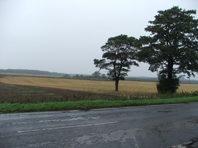
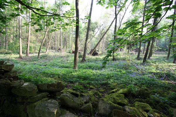
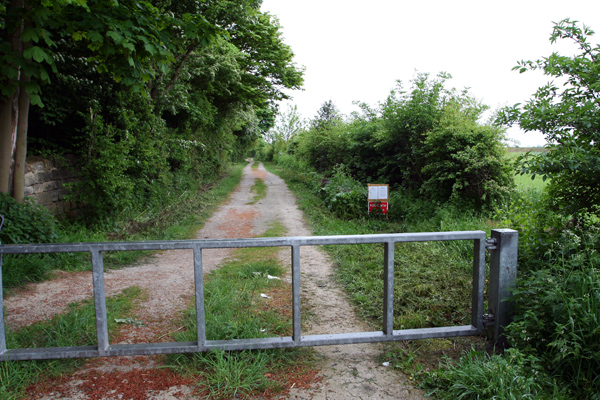
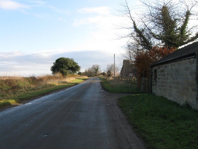
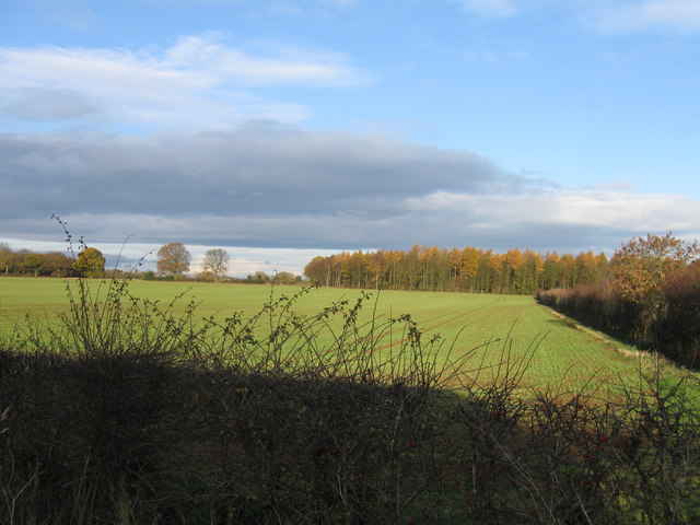
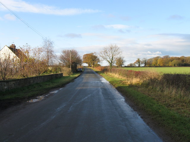
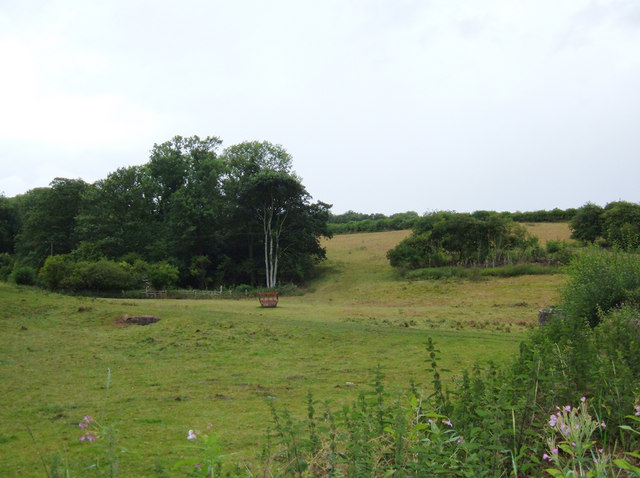
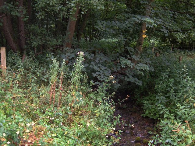
The village is known for its idyllic setting, surrounded by rolling hills, lush green fields, and woodland areas. It offers a peaceful and tranquil environment, making it an ideal place to escape the hustle and bustle of city life. The parish is predominantly residential, with a mix of traditional stone-built cottages, modern houses, and a few local amenities.
One of the notable features in Wothersome is the St. Mary's Church, a beautiful Grade II listed building dating back to the 12th century. The church serves as a focal point for the community and hosts regular worship services and community events.
Although small in size, Wothersome has a strong sense of community spirit. Residents often come together for various activities and social gatherings, fostering a close-knit and friendly atmosphere. The village also benefits from its proximity to the nearby towns, providing easy access to essential amenities, schools, and healthcare facilities.
Wothersome, Yorkshire, with its natural beauty and close community ties, offers a charming rural lifestyle for its residents, making it a desirable place to live for those seeking a peaceful and picturesque setting.
If you have any feedback on the listing, please let us know in the comments section below.
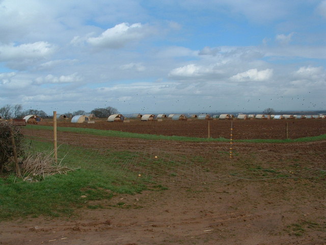
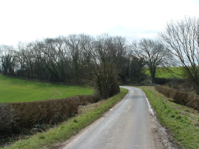
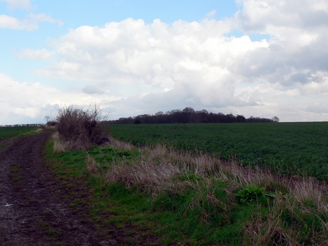
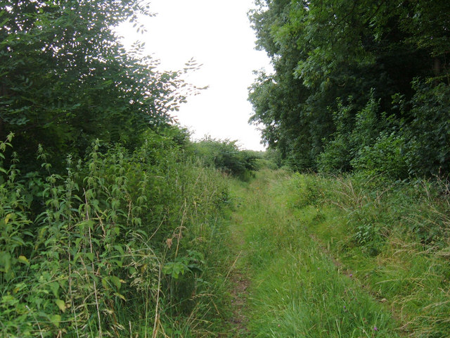
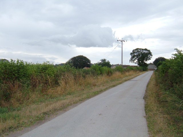
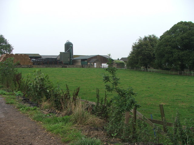
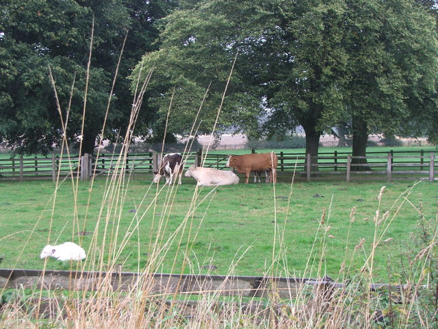
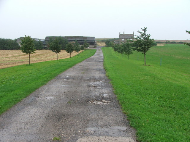
Wothersome Images
Images are sourced within 2km of 53.878974/-1.397698 or Grid Reference SE3942. Thanks to Geograph Open Source API. All images are credited.
Wothersome is located at Grid Ref: SE3942 (Lat: 53.878974, Lng: -1.397698)
Division: West Riding
Administrative County: West Yorkshire
District: Leeds
Police Authority: West Yorkshire
What 3 Words
///mediate.change.scorched. Near Thorner, West Yorkshire
Nearby Locations
Related Wikis

Wothersome
Wothersome is a civil parish in the City of Leeds metropolitan borough, West Yorkshire, England. It is south of Wetherby, north east of Leeds and west...

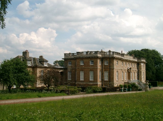
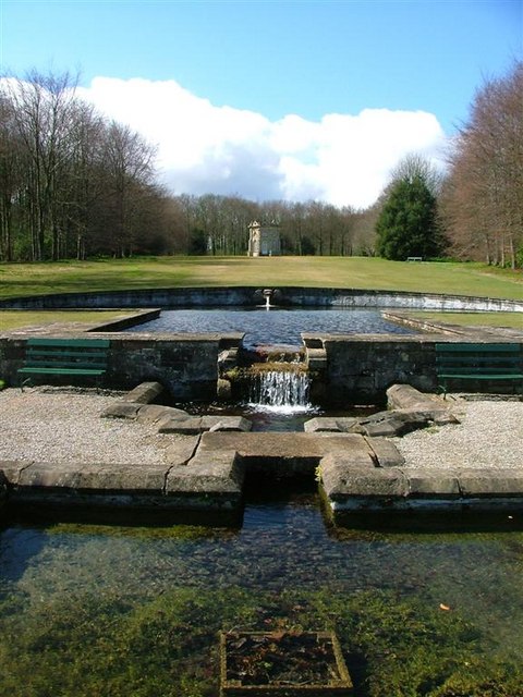
Bramham Park
Bramham Park is a Grade I listed 18th-century country house in Bramham, between Leeds and Wetherby, in West Yorkshire, England. The house, constructed...
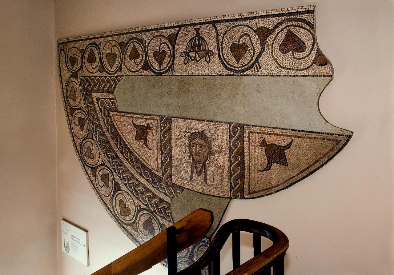
Dalton Parlours Roman villa
Dalton Parlours Roman villa is a Roman villa and scheduled monument near Collingham, West Yorkshire. == Discovery and excavation == The site was discovered...

Boulton St. Mary's Church
Boulton St Mary's is the Church of England parish church for the Boulton ward of Derby. It is located on Boulton Lane, Alvaston, Derby, Derbyshire, England...
Nearby Amenities
Located within 500m of 53.878974,-1.397698Have you been to Wothersome?
Leave your review of Wothersome below (or comments, questions and feedback).