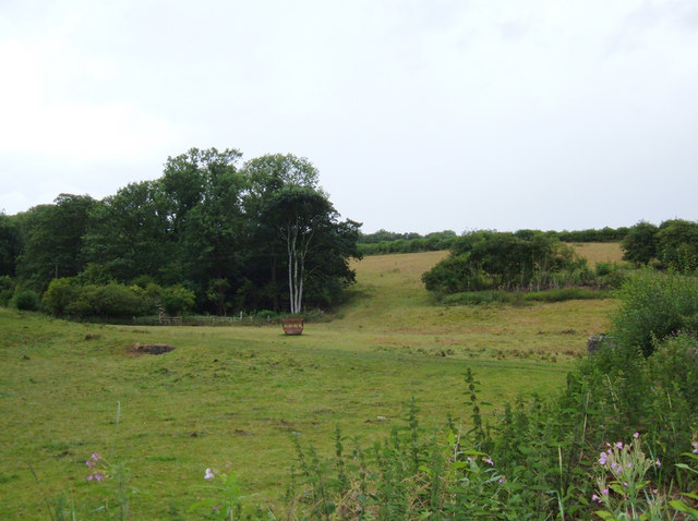
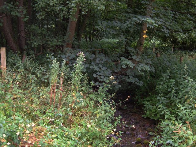
Ragdale Plantation
Wood, Forest in Yorkshire
England
Ragdale Plantation
The requested URL returned error: 429 Too Many Requests
If you have any feedback on the listing, please let us know in the comments section below.
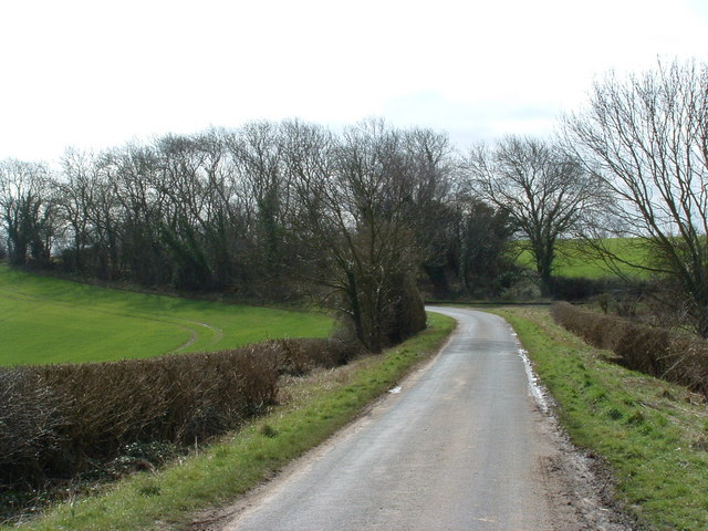
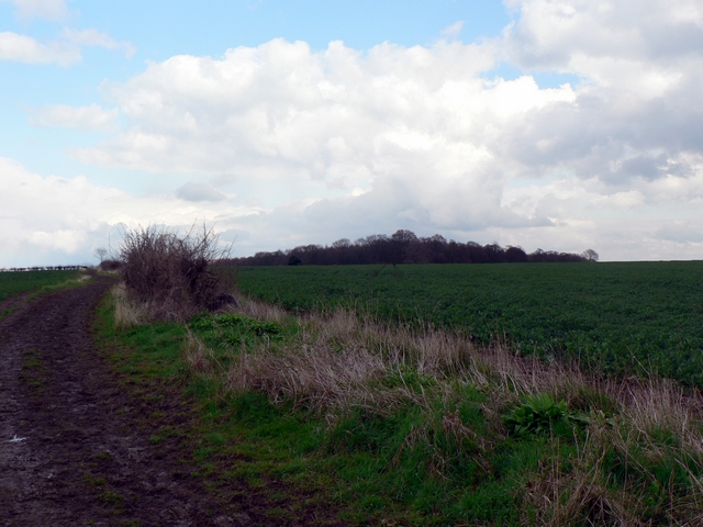
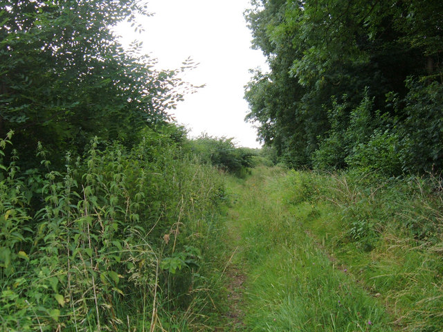
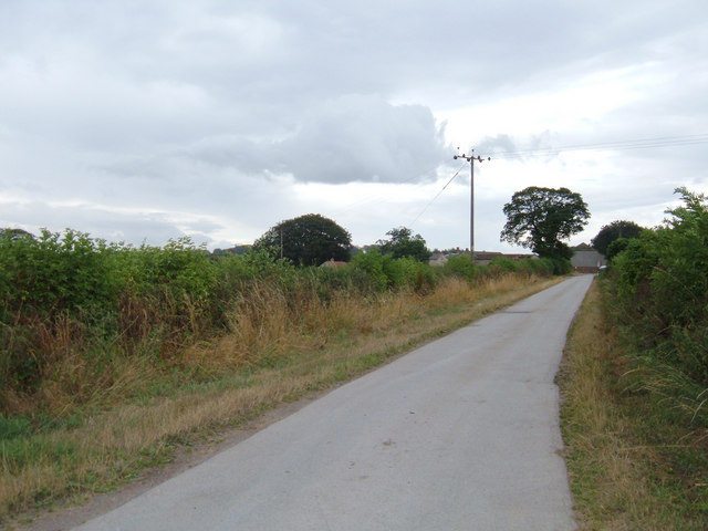
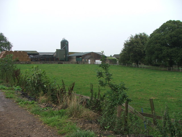
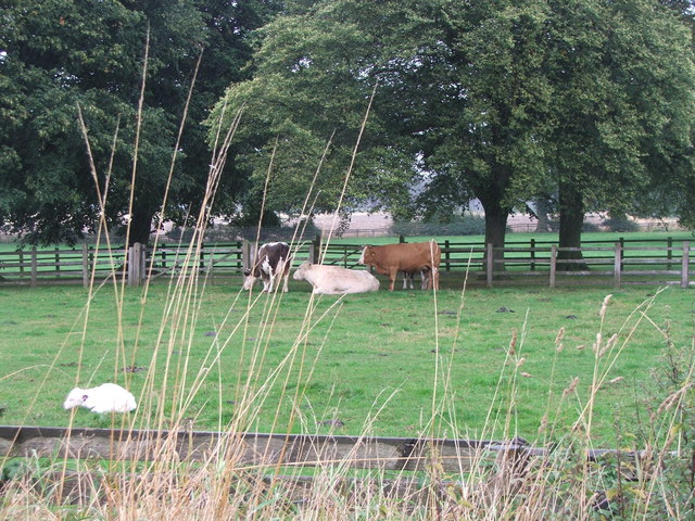
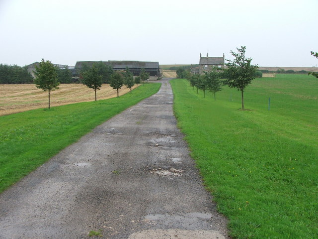
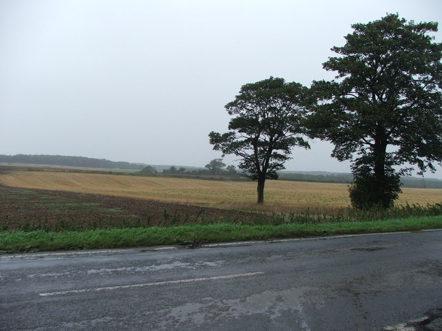
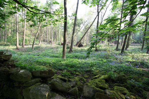
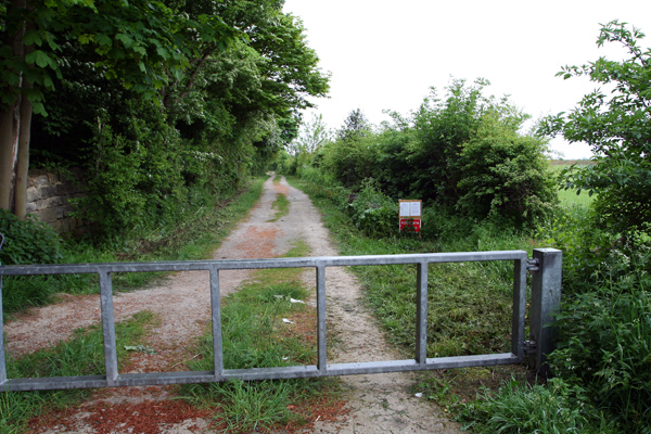
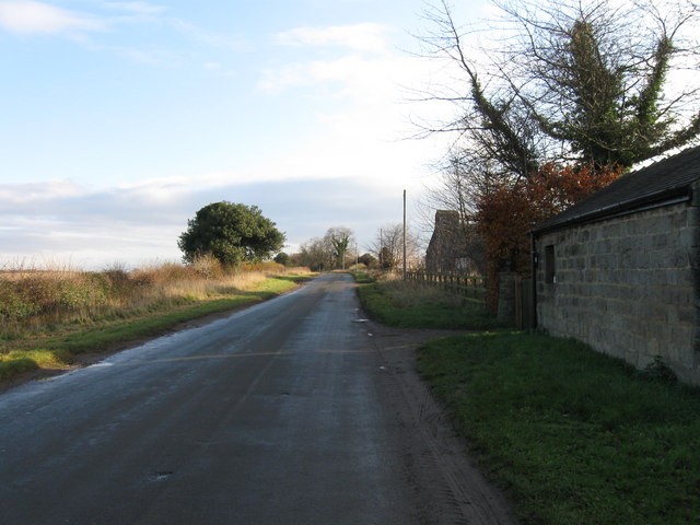
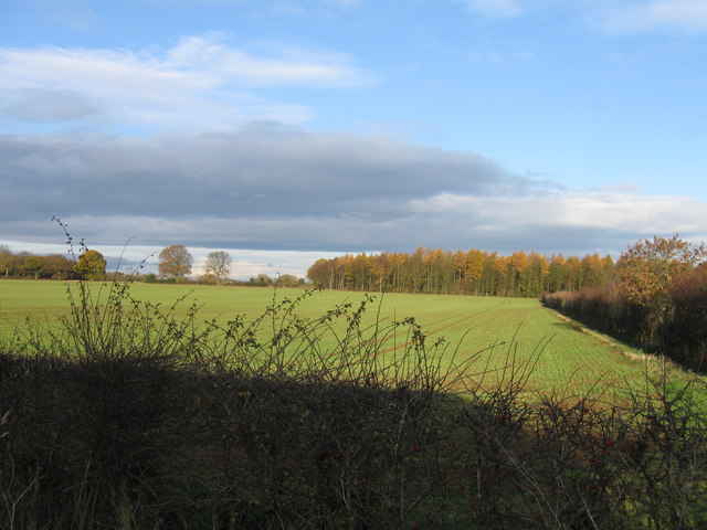
Ragdale Plantation Images
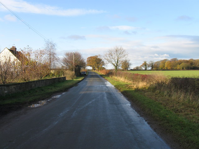
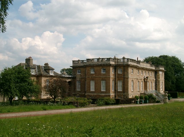
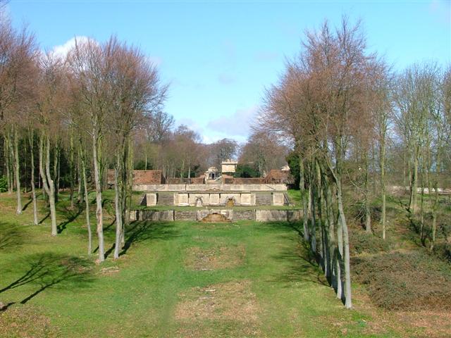
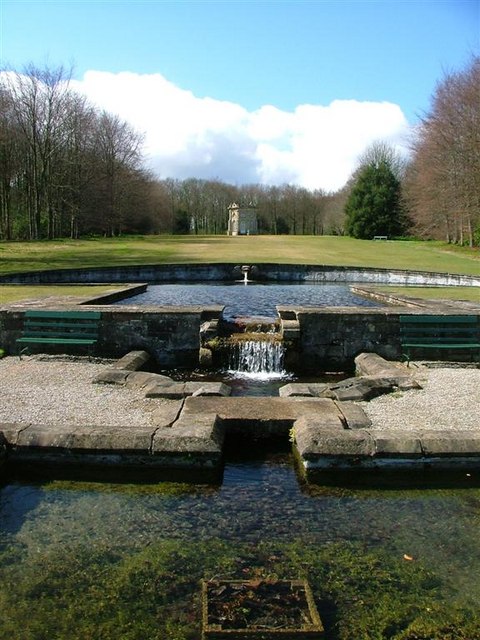
Images are sourced within 2km of 53.876227/-1.3979747 or Grid Reference SE3942. Thanks to Geograph Open Source API. All images are credited.
Ragdale Plantation is located at Grid Ref: SE3942 (Lat: 53.876227, Lng: -1.3979747)
Division: West Riding
Unitary Authority: Leeds
Police Authority: West Yorkshire
What 3 Words
///culling.clutches.locker. Near Thorner, West Yorkshire
Nearby Locations
Related Wikis

Wothersome
Wothersome is a civil parish in the City of Leeds metropolitan borough, West Yorkshire, England. It is south of Wetherby, north east of Leeds and west...

Bramham Park
Bramham Park is a Grade I listed 18th-century country house in Bramham, between Leeds and Wetherby, in West Yorkshire, England. The house, constructed...
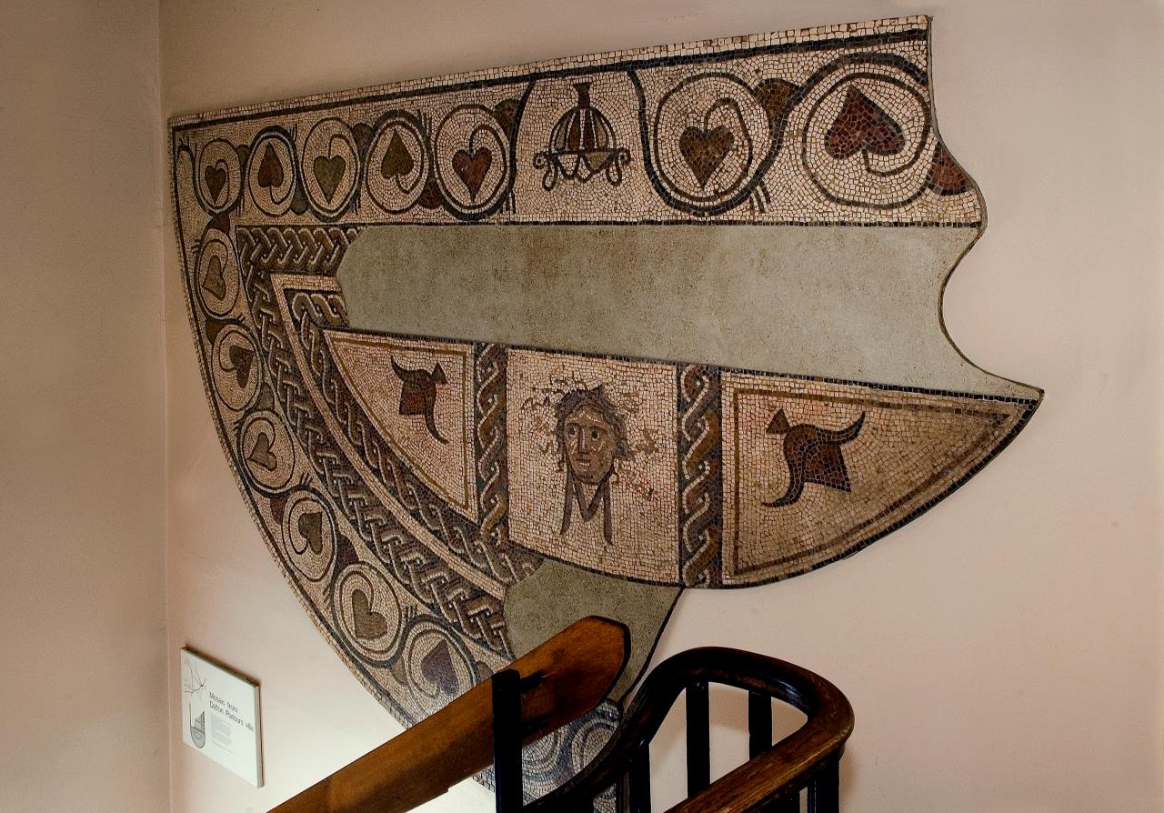
Dalton Parlours Roman villa
Dalton Parlours Roman villa is a Roman villa and scheduled monument near Collingham, West Yorkshire. == Discovery and excavation == The site was discovered...
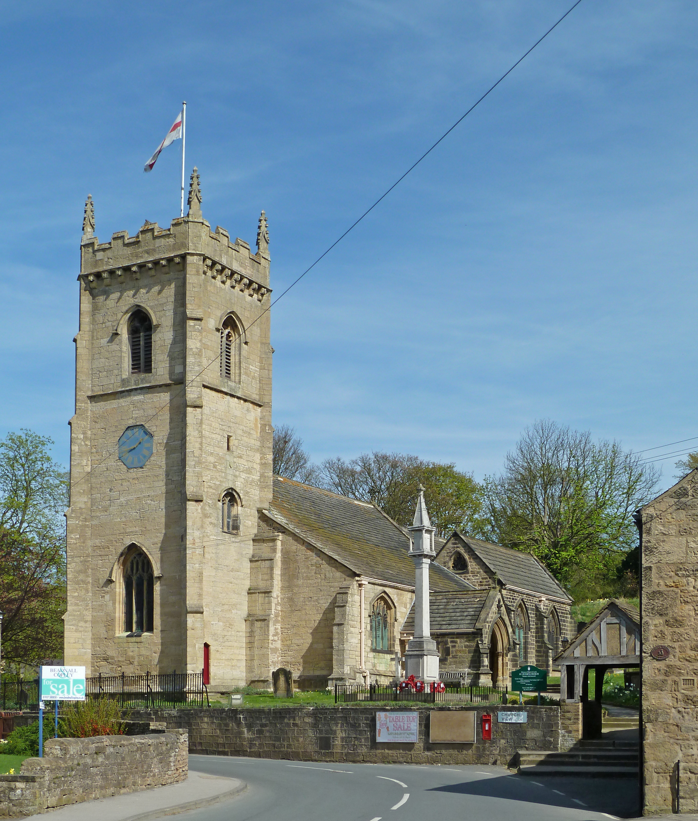
Thorner
Thorner is a rural village and civil parish in the City of Leeds in West Yorkshire, England, located between Seacroft and Wetherby. It had a population...
Nearby Amenities
Located within 500m of 53.876227,-1.3979747Have you been to Ragdale Plantation?
Leave your review of Ragdale Plantation below (or comments, questions and feedback).