Wothorpe Groves

Wood, Forest in Northamptonshire

England

Wothorpe Groves

High Street St Martin's, Stamford Stamford is noted for its coaching inns and its churches. This photo shows an example of each: the Bull & Swan and St Martin's. This street formed part of the Great North Road, which explains the presence of the inns.
High Street St Martin's, Stamford Credit: David Gruar

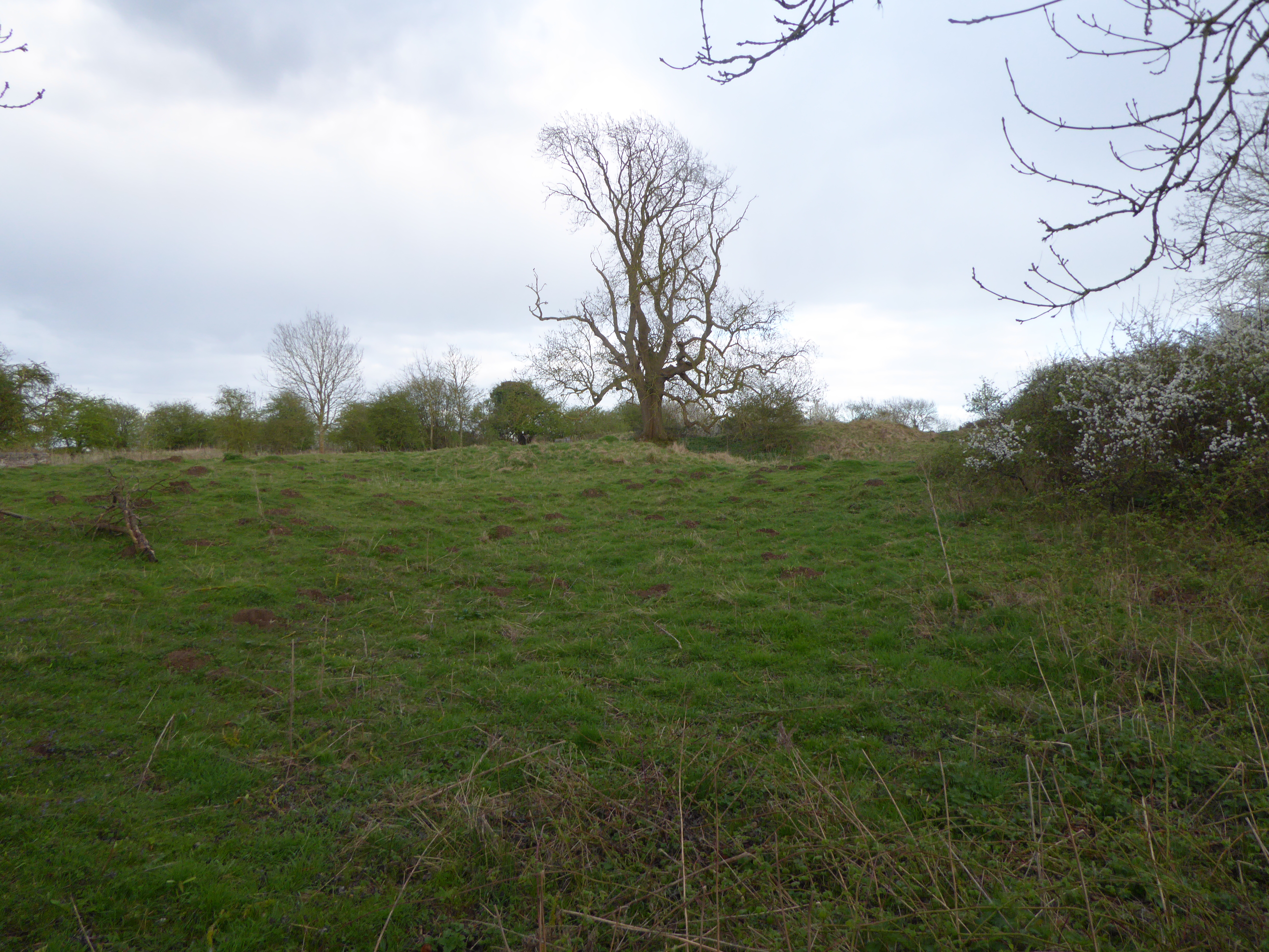
Wothorpe Groves is a picturesque woodland area located in Northamptonshire, England. The groves are known for their dense and diverse collection of trees, including oak, beech, and ash, creating a lush and vibrant forest landscape. The woodland is a popular destination for nature lovers, hikers, and bird watchers, offering a peaceful and serene environment to explore.

Visitors to Wothorpe Groves can enjoy a variety of walking and cycling trails that wind through the trees, allowing them to immerse themselves in the natural beauty of the area. The forest is also home to a wide array of wildlife, including deer, squirrels, and various bird species, making it a great spot for wildlife enthusiasts to observe and appreciate the local fauna.

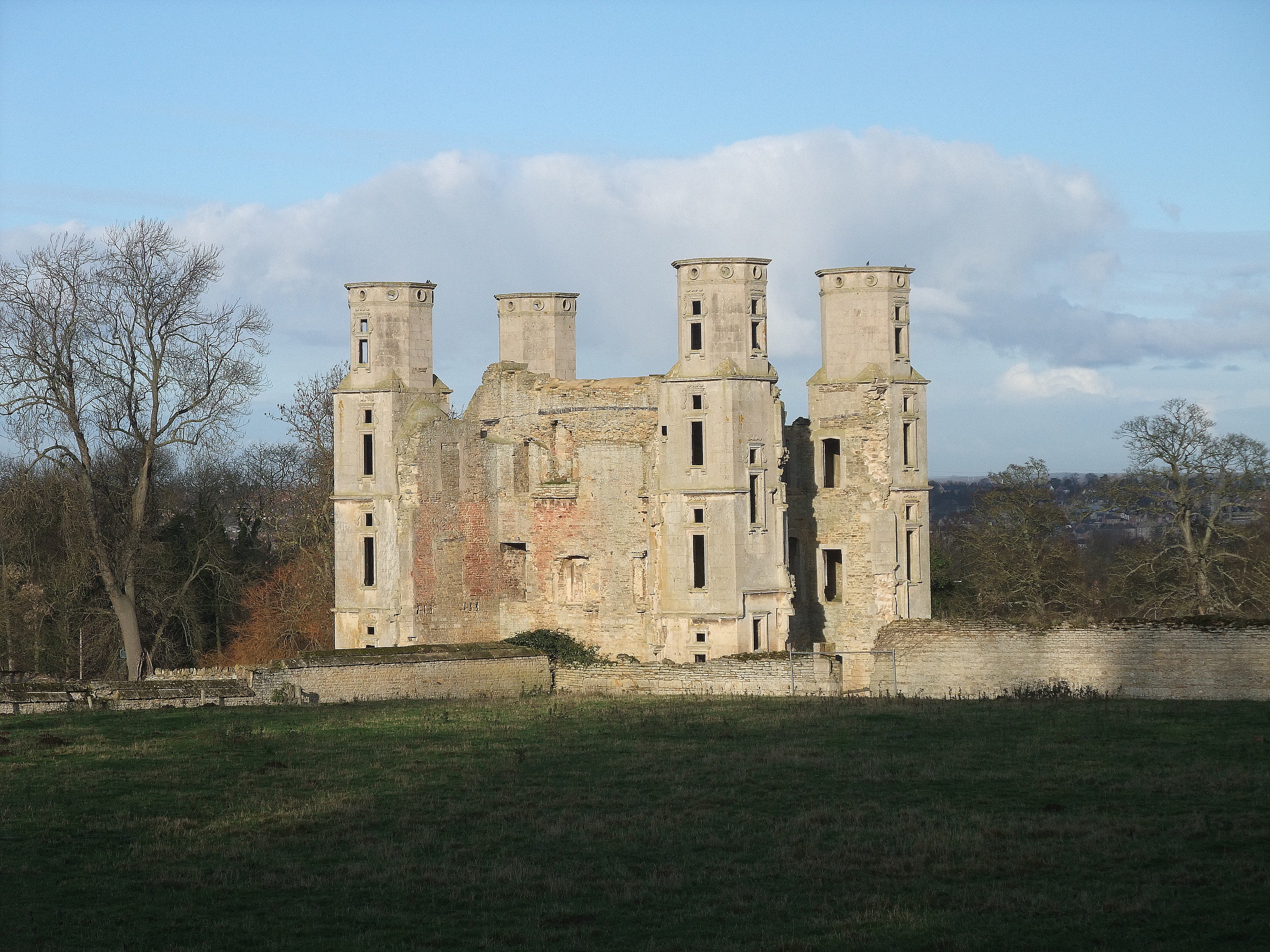
In addition to its natural beauty, Wothorpe Groves also has historical significance, with remnants of old stone walls and structures scattered throughout the forest, adding an extra layer of intrigue to the area. Overall, Wothorpe Groves is a tranquil and enchanting woodland retreat that offers visitors the chance to connect with nature and experience the beauty of the Northamptonshire countryside.

If you have any feedback on the listing, please let us know in the comments section below.

Wothorpe Groves Images

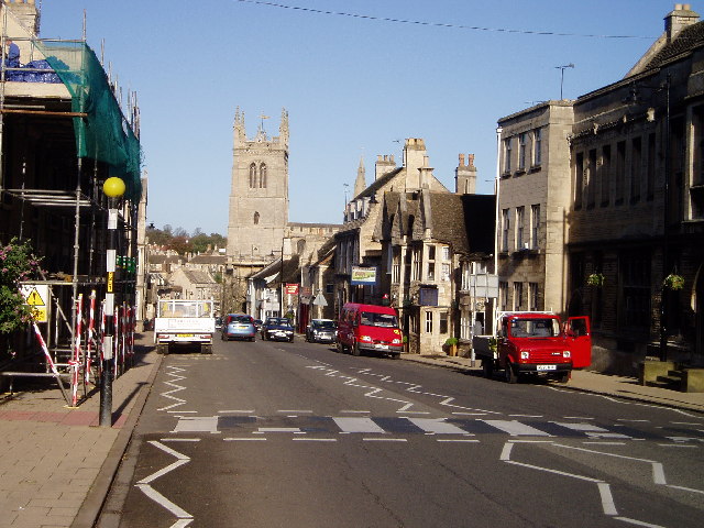
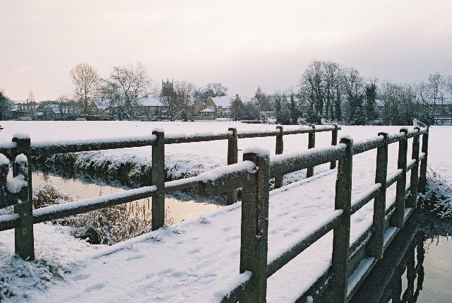
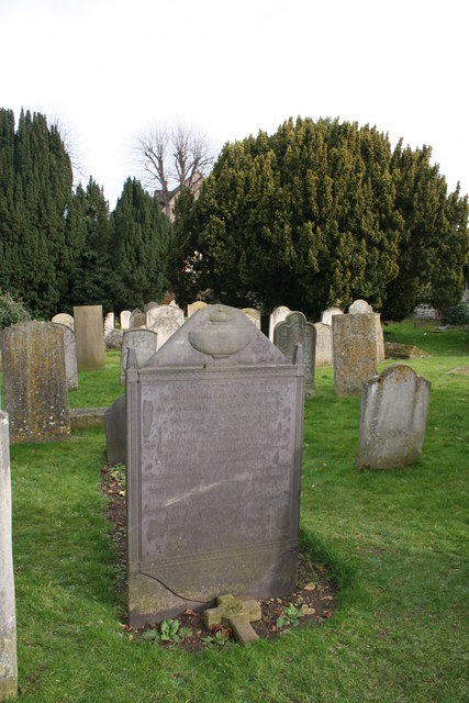
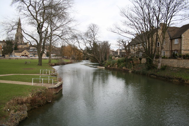
Images are sourced within 2km of 52.633181/-0.49104059 or Grid Reference TF0205. Thanks to Geograph Open Source API. All images are credited.

High Street St Martin's, Stamford Stamford is noted for its coaching inns and its churches. This photo shows an example of each: the Bull & Swan and St Martin's. This street formed part of the Great North Road, which explains the presence of the inns.
High Street St Martin's, Stamford
Stamford is noted for its coaching inns and its churches. This photo shows an example of each: the Bull & Swan and St Martin's. This street formed part of the Great North Road, which explains the presence of the inns.
Stamford Meadows footbridge in the snow Rather tucked up in one corner of this grid square, but I thought a snowy image might be a nice one to kick things off! 
Bound to be more picture opportunities further west following the river towards the A1 but I didn't have my wellies!
Stamford Meadows footbridge in the snow
Rather tucked up in one corner of this grid square, but I thought a snowy image might be a nice one to kick things off! Bound to be more picture opportunities further west following the river towards the A1 but I didn't have my wellies!
Daniel Lambert's grave This grave can be found in St.Martin's churchyard for Daniel Lambert who found fame for being incredibly fat ! His grave records that "He measured three feet one inch round the leg, nine feet four inches round the body and weighed fifty two stone eleven pounds". He died on 21st June 1809 aged 39 years.
Daniel Lambert's grave
This grave can be found in St.Martin's churchyard for Daniel Lambert who found fame for being incredibly fat ! His grave records that "He measured three feet one inch round the leg, nine feet four inches round the body and weighed fifty two stone eleven pounds". He died on 21st June 1809 aged 39 years.
River Welland Looking east, to the right Northamptonshire, to the left Lincolnshire
River Welland
Looking east, to the right Northamptonshire, to the left Lincolnshire
The George Hotel The famous George at Stamford, one of England's greatest coaching Inns <span class="nowrap"><a title="http://www.georgehotelofstamford.com/" rel="nofollow ugc noopener" href="http://www.georgehotelofstamford.com/">Link</a><img style="margin-left:2px;" alt="External link" title="External link - shift click to open in new window" src="https://s1.geograph.org.uk/img/external.png" width="10" height="10"/></span>. The Great North Road used to pass through Stamford.
The George Hotel
The famous George at Stamford, one of England's greatest coaching Inns LinkExternal link. The Great North Road used to pass through Stamford.
St.Martin's One of many handsome houses in Stamford, seen from St.Martin's churchyard
St.Martin's
One of many handsome houses in Stamford, seen from St.Martin's churchyard
Great North Road Grand houses in St.Martin's on the Old Great North Road
Great North Road
Grand houses in St.Martin's on the Old Great North Road
Lord Burghley's Hospital Almshouses endowed by Lord Burghley in 1597 to provide for twelve poor men and a warden.
Lord Burghley's Hospital
Almshouses endowed by Lord Burghley in 1597 to provide for twelve poor men and a warden.
Cattle Market, Stamford I would be interested if anyone would be able to tell we whether this Cattle Market is still used regularly. It did look a little forlorn on my visit.
Cattle Market, Stamford
I would be interested if anyone would be able to tell we whether this Cattle Market is still used regularly. It did look a little forlorn on my visit.
All Saints' church, Easton-on-the-hill A spacious church with Norman, Early English and Decorated features with lots of good box pews and a two-decker pulpit. Grand Perpendicular tower with clasping buttresses and crocketed pinnacles.
All Saints' church, Easton-on-the-hill
A spacious church with Norman, Early English and Decorated features with lots of good box pews and a two-decker pulpit. Grand Perpendicular tower with clasping buttresses and crocketed pinnacles.
The Priest's House Small National Trust property <span class="nowrap"><a title="https://www.nationaltrust.org.uk/priests-house-easton-on-the-hill" rel="nofollow ugc noopener" href="https://www.nationaltrust.org.uk/priests-house-easton-on-the-hill">Link</a><img style="margin-left:2px;" alt="External link" title="External link - shift click to open in new window" src="https://s1.geograph.org.uk/img/external.png" width="10" height="10"/></span> on West Street, Easton-on-the-hill. A pre-Reformation priest's lodge of c1500, not usually staffed but the key can be obtained nearby.
The Priest's House
Small National Trust property LinkExternal link on West Street, Easton-on-the-hill. A pre-Reformation priest's lodge of c1500, not usually staffed but the key can be obtained nearby.
Priest's gate Tudor gateway to All Saint's church leading from the Priest's House <a title="https://www.geograph.org.uk/photo/213873" href="https://www.geograph.org.uk/photo/213873">Link</a>
Priest's gate
Tudor gateway to All Saint's church leading from the Priest's House Link
Disused mill A disused tower mill at Easton-on-the-hill, a familiar sight from the A43.
Disused mill
A disused tower mill at Easton-on-the-hill, a familiar sight from the A43.
Straw bales on Cliffe Road Cliffe Road used to run through to Collyweston cross roads but is now truncated by RAF Wittering. These straw bales are at the Easton on the Hill end.
Straw bales on Cliffe Road
Cliffe Road used to run through to Collyweston cross roads but is now truncated by RAF Wittering. These straw bales are at the Easton on the Hill end.
Farm track off Racecourse Road Between Easton-on-the-Hill and Burghley Park
Farm track off Racecourse Road
Between Easton-on-the-Hill and Burghley Park
County Boundary Hedgeline forming the county boundary off Racecourse Road - this side is Cambridgeshire, the other is Northamptonshire.
County Boundary
Hedgeline forming the county boundary off Racecourse Road - this side is Cambridgeshire, the other is Northamptonshire.
Elmsae House Impressive Victorian Mansion on Tinwell Road for sale in August 2006 - yours for £1.5 million !
Elmsae House
Impressive Victorian Mansion on Tinwell Road for sale in August 2006 - yours for £1.5 million !
A1 south View of the A1 southbound and the Welland Valley from Tinwell Road bridge.
A1 south
View of the A1 southbound and the Welland Valley from Tinwell Road bridge.
Show me another place!

Wothorpe Groves is located at Grid Ref: TF0205 (Lat: 52.633181, Lng: -0.49104059)

Unitary Authority: North Northamptonshire

Police Authority: Northamptonshire

What 3 Words

///this.cool.doll. Near Easton on the Hill, Northamptonshire

Related Wikis

Racecourse Farm Fields

Racecourse Farm Fields is a 5 hectare biological Site of Special Scientific Interest in Easton on the Hill in Northamptonshire.This former quarry is grassland...

Wothorpe

Wothorpe is a village and civil parish in the Peterborough unitary authority of Cambridgeshire, England. It is in the far north-west of the district, and...

Glebe House, Stamford

Glebe House is an historic building in Easton on the Hill, North Northamptonshire, England. Dating to 1690, it is now a Grade II* listed structure, as...

Easton on the Hill

Easton on the Hill is a village and civil parish at the north eastern tip of North Northamptonshire, England. The village had a population at the 2011...

Nearby Amenities

Located within 500m of 52.633181,-0.49104059
Barrier: stile
Lat/Long: 52.636193/-0.4878295
Wothorpe
Place: hamlet
Source: Bing
Lat/Long: 52.6365991/-0.4879223
Wothorpe Farm
Place: farm
Source: Bing
Lat/Long: 52.6352913/-0.4873489
Wothorpe Towers
Historic: ruins
Website: http://www.wothorpe-towers.co.uk/about.asp
Lat/Long: 52.6353859/-0.4859345
Man Made: tower
Lat/Long: 52.6354789/-0.48625
Man Made: tower
Lat/Long: 52.6354228/-0.4863417
Man Made: tower
Lat/Long: 52.6353651/-0.4860715
Man Made: tower
Lat/Long: 52.635309/-0.4861656
The data included in this document is from www.openstreetmap.org. The data is made available under ODbL.

Have you been to Wothorpe Groves?

Leave your review of Wothorpe Groves below (or comments, questions and feedback).