Wormshill

Civil Parish in Kent Maidstone

England

Wormshill

Swanton Old House Listed buildings and structures are officially designated as being of special architectural, historical or cultural significance. There are over half a million listed structures in the United Kingdom, covered by around 375,000 listings.
Listed status is more commonly associated with buildings or groups of buildings, however it can cover many other structures, including bridges, headstones, steps, ponds, monuments, walls, phone boxes, wrecks, parks, and heritage sites, and in more recent times a road crossing (Abbey Road) and graffiti art (Banksy 'Spy-booth') have been included.

In England and Wales there are three main listing designations;
Grade I (2.5%) - exceptional interest, sometimes considered to be internationally important.
Grade II* (5.5%) - particularly important buildings of more than special interest. 
Grade II (92%) - nationally important and of special interest. 

There are also locally listed structures (at the discretion of local authorities) using A, B and C designations.

In Scotland three classifications are also used but the criteria are different. There are around 47,500 Listed buildings.
Category A (8%)- generally equivalent to Grade I and II* in England and Wales
Category B (51%)- this appears generally to cover the ground of Grade II, recognising national importance.
Category C (41%)- buildings of local importance, probably with some overlap with English Grade II.

In Northern Ireland the criteria are similar to Scotland, but the classifications are:
Grade A (2.3%)
Grade B+ (4.7%)
Grade B (93%)

Read more at Wikipedia <span class="nowrap"><a title="http://en.wikipedia.org/wiki/Listed_building" rel="nofollow ugc noopener" href="http://en.wikipedia.org/wiki/Listed_building">Link</a><img style="margin-left:2px;" alt="External link" title="External link - shift click to open in new window" src="https://s1.geograph.org.uk/img/external.png" width="10" height="10"/></span>
Swanton Old House Credit: N Chadwick

Wormshill is a small civil parish located in the county of Kent, in southeastern England. Situated on the North Downs, it is part of the Maidstone district and lies approximately 9 miles east of the town of Maidstone.

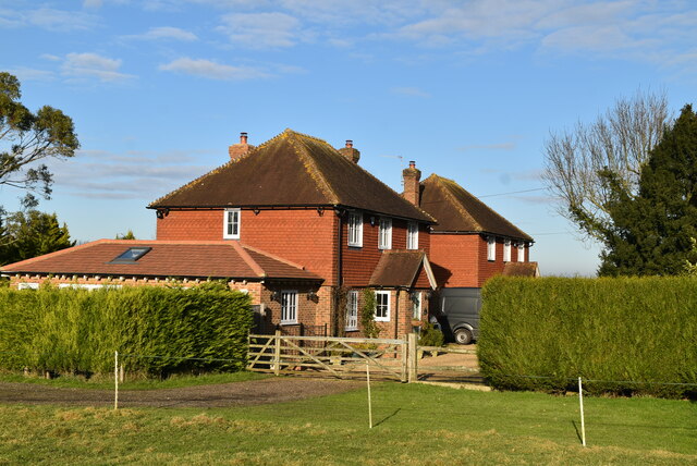
The village of Wormshill is known for its picturesque and rural setting, with rolling hills, woodlands, and farmland dominating the landscape. It is a quintessential English village, with a population of around 200 residents, giving it a close-knit and community-oriented atmosphere.

The centerpiece of Wormshill is the 12th-century All Saints Church, which boasts a historic and well-preserved Norman architecture. The church is a significant landmark in the area and attracts visitors from both near and far.

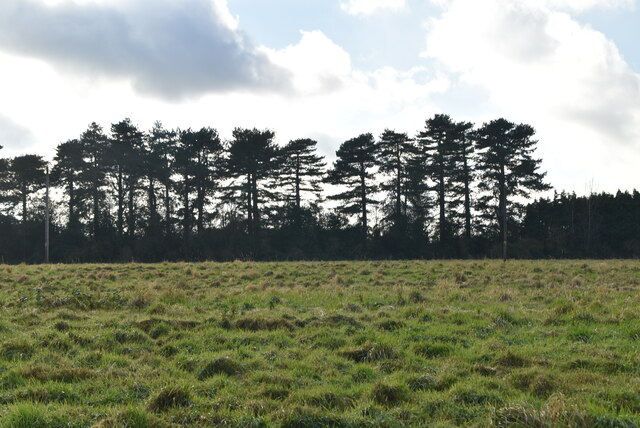
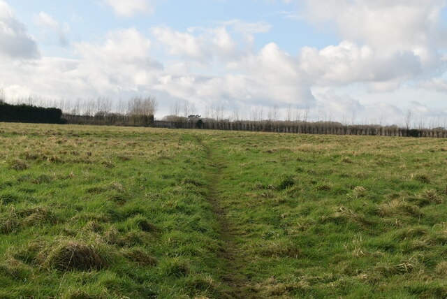
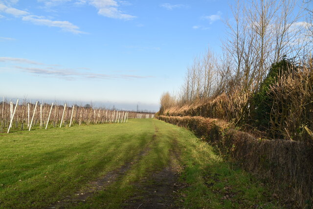
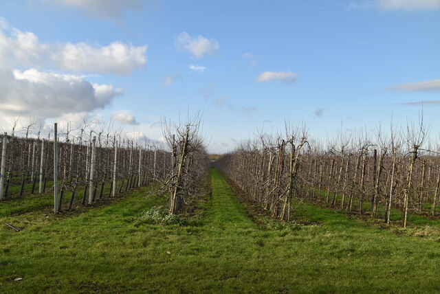
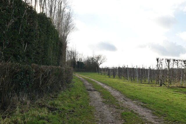
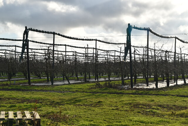
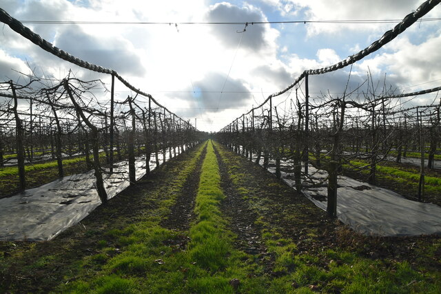
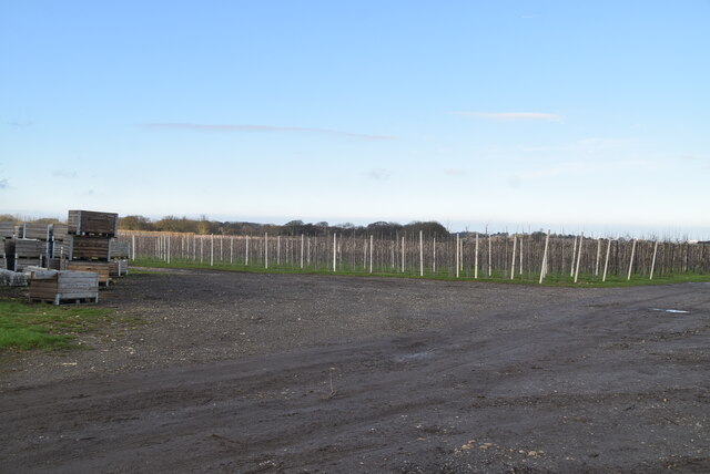
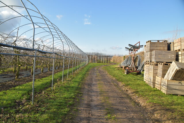
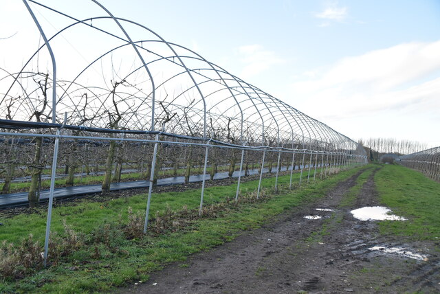
Agriculture has long been a vital part of the local economy, with farming playing a significant role in the parish's history. The surrounding fields are mainly used for arable farming, with crops such as wheat, barley, and oilseed rape being cultivated.

The village also offers a range of amenities for its residents, including a village hall, a primary school, and a local pub. These facilities contribute to the community's cohesion and provide opportunities for socializing and community events.

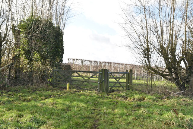
The countryside surrounding Wormshill offers ample opportunities for outdoor activities such as hiking, cycling, and horse riding. With its tranquil and idyllic setting, Wormshill is a popular destination for those seeking a peaceful retreat away from the hustle and bustle of city life.

In summary, Wormshill is a charming and rural civil parish in Kent, known for its natural beauty, agricultural heritage, and strong sense of community.

If you have any feedback on the listing, please let us know in the comments section below.
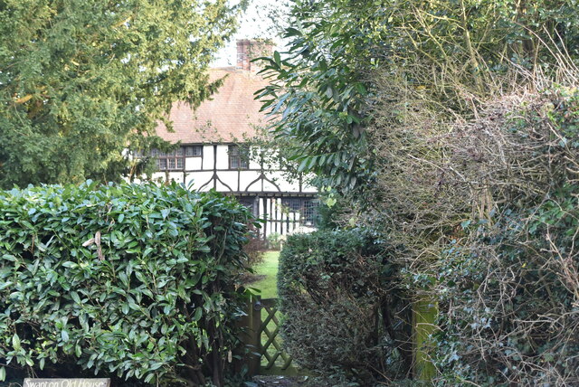
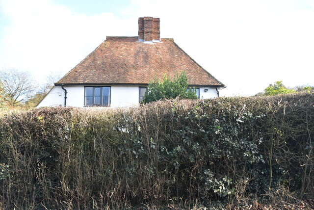
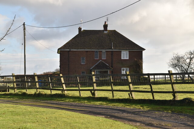
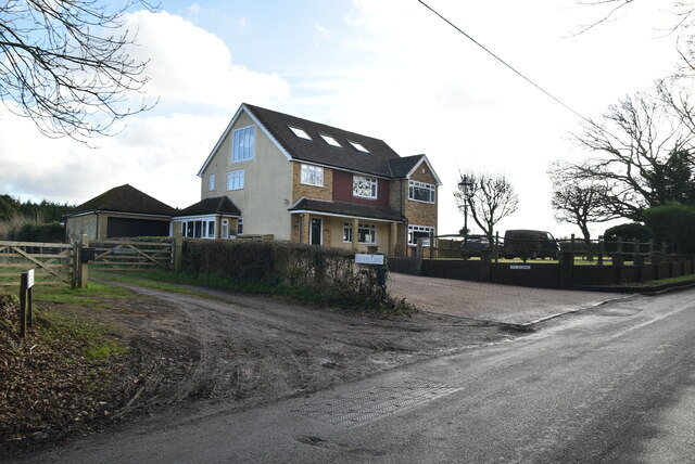
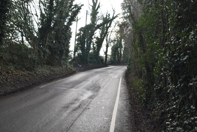
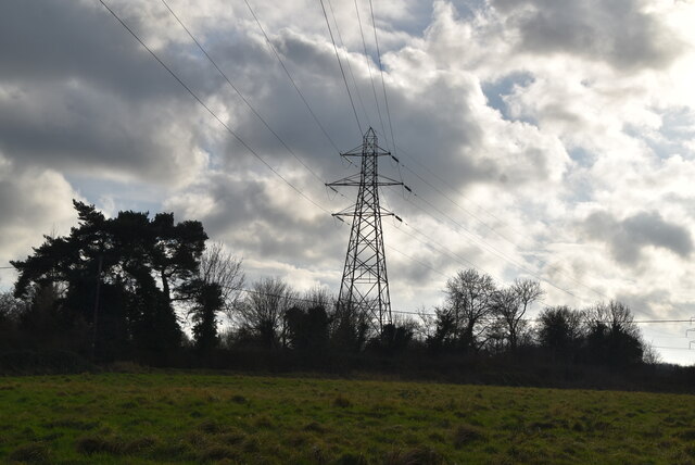
Wormshill Images

Images are sourced within 2km of 51.283598/0.691654 or Grid Reference TQ8757. Thanks to Geograph Open Source API. All images are credited.

Swanton Old House Listed buildings and structures are officially designated as being of special architectural, historical or cultural significance. There are over half a million listed structures in the United Kingdom, covered by around 375,000 listings.
Listed status is more commonly associated with buildings or groups of buildings, however it can cover many other structures, including bridges, headstones, steps, ponds, monuments, walls, phone boxes, wrecks, parks, and heritage sites, and in more recent times a road crossing (Abbey Road) and graffiti art (Banksy 'Spy-booth') have been included.

In England and Wales there are three main listing designations;
Grade I (2.5%) - exceptional interest, sometimes considered to be internationally important.
Grade II* (5.5%) - particularly important buildings of more than special interest. 
Grade II (92%) - nationally important and of special interest. 

There are also locally listed structures (at the discretion of local authorities) using A, B and C designations.

In Scotland three classifications are also used but the criteria are different. There are around 47,500 Listed buildings.
Category A (8%)- generally equivalent to Grade I and II* in England and Wales
Category B (51%)- this appears generally to cover the ground of Grade II, recognising national importance.
Category C (41%)- buildings of local importance, probably with some overlap with English Grade II.

In Northern Ireland the criteria are similar to Scotland, but the classifications are:
Grade A (2.3%)
Grade B+ (4.7%)
Grade B (93%)

Read more at Wikipedia <span class="nowrap"><a title="http://en.wikipedia.org/wiki/Listed_building" rel="nofollow ugc noopener" href="http://en.wikipedia.org/wiki/Listed_building">Link</a><img style="margin-left:2px;" alt="External link" title="External link - shift click to open in new window" src="https://s1.geograph.org.uk/img/external.png" width="10" height="10"/></span>
Swanton Old House
Listed buildings and structures are officially designated as being of special architectural, historical or cultural significance. There are over half a million listed structures in the United Kingdom, covered by around 375,000 listings. Listed status is more commonly associated with buildings or groups of buildings, however it can cover many other structures, including bridges, headstones, steps, ponds, monuments, walls, phone boxes, wrecks, parks, and heritage sites, and in more recent times a road crossing (Abbey Road) and graffiti art (Banksy 'Spy-booth') have been included. In England and Wales there are three main listing designations; Grade I (2.5%) - exceptional interest, sometimes considered to be internationally important. Grade II* (5.5%) - particularly important buildings of more than special interest. Grade II (92%) - nationally important and of special interest. There are also locally listed structures (at the discretion of local authorities) using A, B and C designations. In Scotland three classifications are also used but the criteria are different. There are around 47,500 Listed buildings. Category A (8%)- generally equivalent to Grade I and II* in England and Wales Category B (51%)- this appears generally to cover the ground of Grade II, recognising national importance. Category C (41%)- buildings of local importance, probably with some overlap with English Grade II. In Northern Ireland the criteria are similar to Scotland, but the classifications are: Grade A (2.3%) Grade B+ (4.7%) Grade B (93%) Read more at Wikipedia LinkExternal link
Cottage, Swanton St
Cottage, Swanton St
Trundlewood Farm
Trundlewood Farm
The Meadows
The Meadows
Swanton St
Swanton St
Meadow Farm
Meadow Farm
Pylon by Swanton St
Pylon by Swanton St
Line of trees
Line of trees
Footpath across field
Footpath and gate
Footpath and gate
Edge of orchard
Edge of orchard
Orchard Orchards are a farming method for fruit. Most orchards are apple orchards, although pears, plums and other soft fruits are also grown. Due to changes in the economy and competition from abroad many orchards have been grubbed up and converted to other land uses. Fruit orchards are common across Kent (The Garden of England) and to a lesser extent Sussex.
Orchard
Orchards are a farming method for fruit. Most orchards are apple orchards, although pears, plums and other soft fruits are also grown. Due to changes in the economy and competition from abroad many orchards have been grubbed up and converted to other land uses. Fruit orchards are common across Kent (The Garden of England) and to a lesser extent Sussex.
Footpath by Orchard
Footpath by Orchard
Orchard Orchards are a farming method for fruit. Most orchards are apple orchards, although pears, plums and other soft fruits are also grown. Due to changes in the economy and competition from abroad many orchards have been grubbed up and converted to other land uses. Fruit orchards are common across Kent (The Garden of England) and to a lesser extent Sussex.
Orchard
Orchards are a farming method for fruit. Most orchards are apple orchards, although pears, plums and other soft fruits are also grown. Due to changes in the economy and competition from abroad many orchards have been grubbed up and converted to other land uses. Fruit orchards are common across Kent (The Garden of England) and to a lesser extent Sussex.
Orchard
Orchard
Footpath through orchard
Polytunnel
Polytunnel
Show me another place!

Wormshill is located at Grid Ref: TQ8757 (Lat: 51.283598, Lng: 0.691654)

Administrative County: Kent

District: Maidstone

Police Authority: Kent

What 3 Words

///archives.mavericks.fish. Near Harrietsham, Kent

Related Wikis

Wormshill

Wormshill ( wurmz-HIL), historically Wormsell, is a small village and civil parish within the Borough of Maidstone, Kent, England. The parish is approximately...

St Giles Church, Wormshill

St Giles Church is the sole church in the village of Wormshill in Kent. The church is Anglican and is dedicated to Saint Giles. It forms part of the united...

Bedmonton

Bedmonton or Bedmanton is a hamlet situated about five miles (8 km) on a minor road between the B2163 road and Wormshill to the south of Sittingbourne...

Frinsted

Frinsted or Frinstead is a small village and civil parish in the ecclesiastical parish of Wormshill and in the Maidstone District of Kent, England. and...

Nearby Amenities

Located within 500m of 51.283598,0.691654
Bus Stop
Blacksmiths Arms
Flag: no
Naptan AtcoCode: 2400A036280A
Naptan Bearing: NE
Naptan BusStopType: CUS
Naptan CommonName: Blacksmiths Arms
Naptan Indicator: o/s
Naptan Landmark: Blacksmiths Arms
Naptan NaptanCode: kntdmpwt
Naptan Street: The Street
Naptan Verified: no
Public Transport: platform
Source: naptan_import
Lat/Long: 51.2820263/0.6921096
Bus Stop
Post Office
Flag: no
Naptan AtcoCode: 2400A036290A
Naptan Bearing: W
Naptan BusStopType: CUS
Naptan CommonName: Post Office
Naptan Indicator: o/s
Naptan Landmark: Wormshill Church
Naptan NaptanCode: kntdmtad
Naptan Street: The Street
Naptan Verified: no
Public Transport: platform
Source: naptan_import
Lat/Long: 51.2851739/0.6968117
Pub
Blacksmiths Arms
Addr Postcode: ME9 0TU
Contact Phone: +44 1622 884386
Food: yes
Source Addr Postcode: http://www.blacksmiths-arms.com/
Source Phone: http://www.blacksmiths-arms.com/
Website: http://www.blacksmiths-arms.com/
Lat/Long: 51.2821833/0.6920285
Post Box
Collection Times: Mo-Fr 16:45; Sa 09:30
Operator: Royal Mail
Post Box Design: penfold
Post Box Type: pillar
Postal Code: ME9
Ref: ME9 68
Royal Cypher: VR
Royal Cypher Wikidata: Q33102356
Source: survey
Lat/Long: 51.2844586/0.6954707
Stony Wood
Natural: wood
Lat/Long: 51.2875924/0.6904805
Hill House
Building: yes
Lat/Long: 51.2868293/0.69365
Hill House Bungalow
Building: yes
Lat/Long: 51.2868805/0.6947262
Saywell Farm
Landuse: farm
Note Retag: CS #48756035
Lat/Long: 51.2853865/0.6865372
Barrows Wood
Natural: wood
Lat/Long: 51.2845315/0.6901091
Wormshill Court
Building: yes
Lat/Long: 51.2853341/0.6981243
Wormshill
Place: village
Lat/Long: 51.2835774/0.6943979
Telephone
Booth: K6
Covered: booth
Listed Status: Grade II
Man Made: telephone_box
Note: might contain a defibrillator
Wikimedia Commons: File:Whillphonebox.jpg
Lat/Long: 51.2844793/0.6957272
Leisure: playground
Lat/Long: 51.2845263/0.6976533
The data included in this document is from www.openstreetmap.org. The data is made available under ODbL.

Have you been to Wormshill?

Leave your review of Wormshill below (or comments, questions and feedback).