Barrows Wood
Wood, Forest in Kent Maidstone
England
Barrows Wood

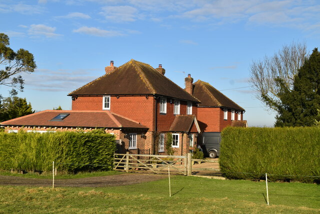
Barrows Wood, located in Kent, England, is a serene and picturesque woodland area that covers an expanse of approximately 40 hectares. Nestled within the larger Blean Woods complex, it is part of the ancient Blean Forest. The woodland is easily accessible, situated just five miles east of the historic city of Canterbury.
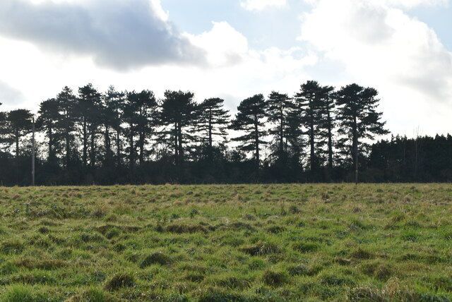
Barrows Wood boasts a diverse range of tree species, including oak, beech, and sweet chestnut, creating a lush and vibrant ecosystem. The woodland floor is adorned with an array of wildflowers, such as bluebells and primroses, adding bursts of color to the scenery during the spring season.
The wood is home to a variety of wildlife, making it an attractive destination for nature enthusiasts and birdwatchers. Visitors may spot various bird species, including woodpeckers, nuthatches, and tawny owls. Mammals like deer, foxes, and badgers can also be observed in their natural habitat.
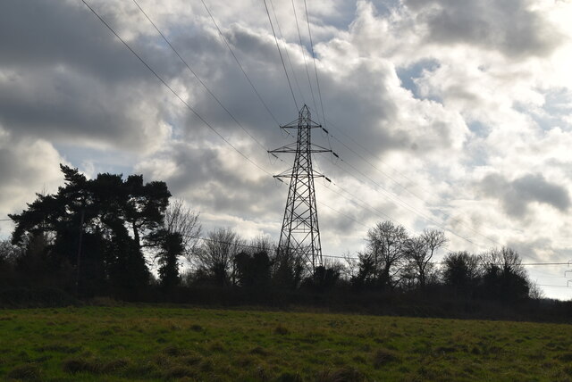
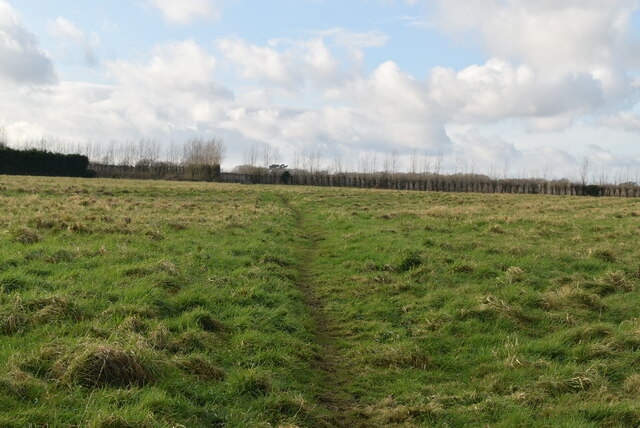
A network of well-maintained footpaths meanders through Barrows Wood, allowing visitors to explore its beauty at their own pace. These paths offer stunning views of the surrounding countryside and provide opportunities for peaceful walks and picnics. The wood is also a popular spot for outdoor activities such as hiking, cycling, and nature photography.
Barrows Wood, with its tranquil ambiance and abundant natural beauty, offers a welcome escape from the hustle and bustle of everyday life. Whether it is for a leisurely stroll, an educational field trip, or simply a moment of solitude amidst nature, this enchanting woodland is a true gem in the heart of Kent.
If you have any feedback on the listing, please let us know in the comments section below.
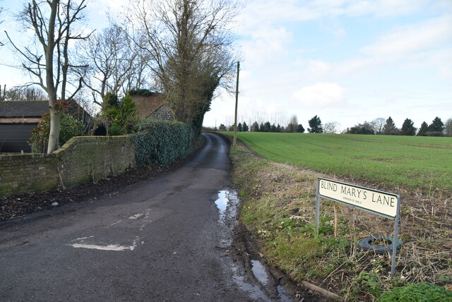
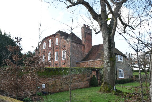
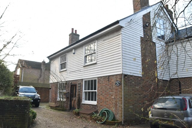
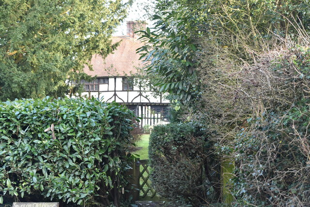
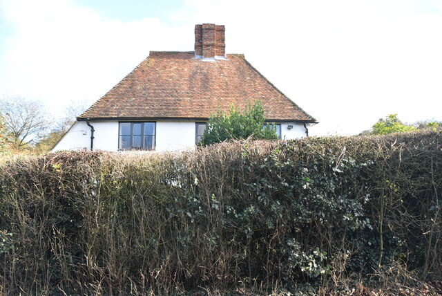
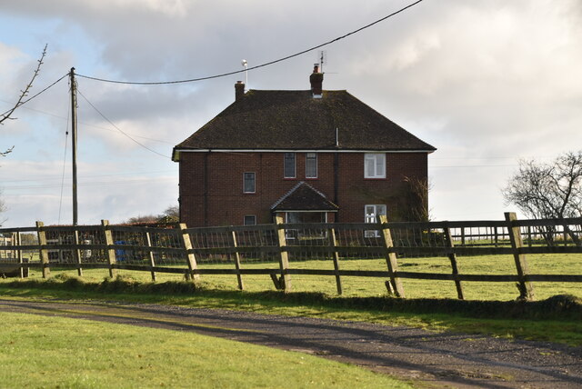
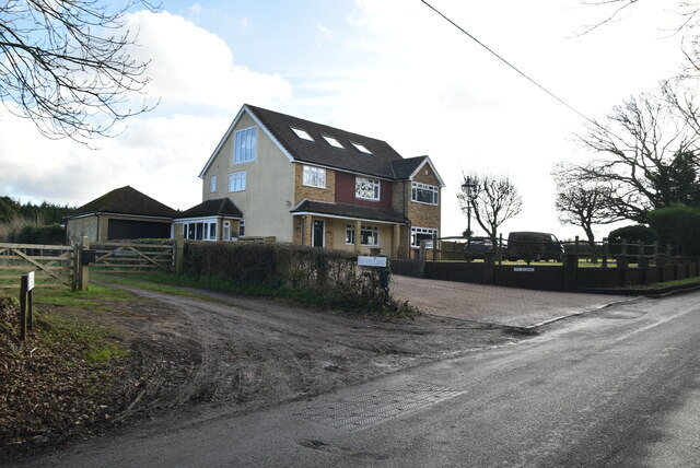
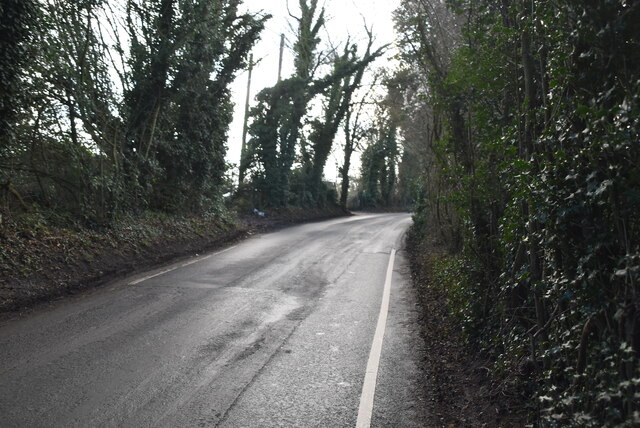
Barrows Wood Images
Images are sourced within 2km of 51.284422/0.69010103 or Grid Reference TQ8757. Thanks to Geograph Open Source API. All images are credited.


Barrows Wood is located at Grid Ref: TQ8757 (Lat: 51.284422, Lng: 0.69010103)
Administrative County: Kent
District: Maidstone
Police Authority: Kent
What 3 Words
///plates.jeering.multiples. Near Harrietsham, Kent
Nearby Locations
Related Wikis

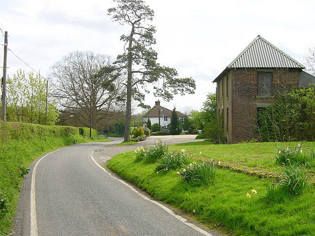
Wormshill
Wormshill ( wurmz-HIL), historically Wormsell, is a small village and civil parish within the Borough of Maidstone, Kent, England. The parish is approximately...
St Giles Church, Wormshill
St Giles Church is the sole church in the village of Wormshill in Kent. The church is Anglican and is dedicated to Saint Giles. It forms part of the united...

Bedmonton
Bedmonton or Bedmanton is a hamlet situated about five miles (8 km) on a minor road between the B2163 road and Wormshill to the south of Sittingbourne...

Frinsted
Frinsted or Frinstead is a small village and civil parish in the ecclesiastical parish of Wormshill and in the Maidstone District of Kent, England. and...
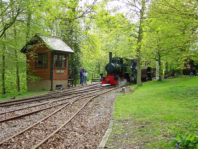
Bredgar and Wormshill Light Railway
The Bredgar and Wormshill Light Railway (BWLR) is located near the villages of Wormshill and Bredgar in Kent, just south of Sittingbourne. It is a 2 ft...
Ringlestone
Ringlestone is a hamlet between Wormshill and Harrietsham in the Maidstone district of Kent, England. It is in the civil parish of Wormshill. Ringlestone...
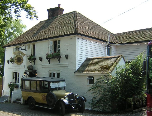
Ringlestone Inn
The Ringlestone Inn is an historic public house and restaurant, located in the Ringlestone hamlet near the village of Wormshill in Kent, England. Dating...

Bicknor
Bicknor is a village and civil parish in the Maidstone district of Kent, England, north-east of Maidstone and south-west of Sittingbourne. It had a population...
Nearby Amenities
Located within 500m of 51.284422,0.69010103Have you been to Barrows Wood?
Leave your review of Barrows Wood below (or comments, questions and feedback).