Snorehamall Grove
Wood, Forest in Essex Maldon
England
Snorehamall Grove
Snorehamall Grove is a picturesque woodland located in Essex, England. It covers an area of approximately 200 acres and is known for its dense forest and diverse wildlife. The grove is situated near the village of Snorehamall, which is known for its tranquil surroundings and close proximity to nature.
The woodland in Snorehamall Grove is characterized by its towering trees, predominantly oak and beech, which create a lush canopy overhead. The forest floor is covered in a thick layer of moss, adding to the overall enchanting atmosphere. Numerous walking trails wind their way through the grove, providing visitors with the opportunity to explore the diverse flora and fauna that call this woodland home.
Snorehamall Grove is a haven for wildlife enthusiasts, as it is home to a variety of animal species. Deer, foxes, and badgers are commonly spotted, often in the early morning or late evening. The grove also attracts a wide range of bird species, including woodpeckers, owls, and various songbirds.
In addition to its natural beauty, Snorehamall Grove holds historical significance. It is believed that the woodland has been in existence for centuries, with evidence of Iron Age settlements discovered in the surrounding area. The grove has also been referenced in ancient texts, further attesting to its rich history.
Overall, Snorehamall Grove offers visitors a tranquil and enchanting experience amidst nature. Whether exploring the walking trails, observing the wildlife, or simply enjoying the serenity of the woodland, this grove is a true gem in the heart of Essex.
If you have any feedback on the listing, please let us know in the comments section below.
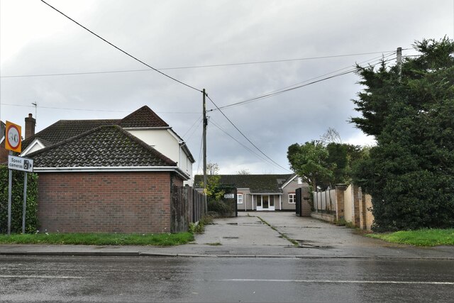
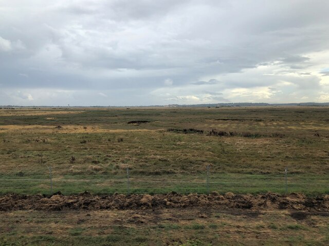
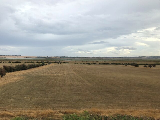
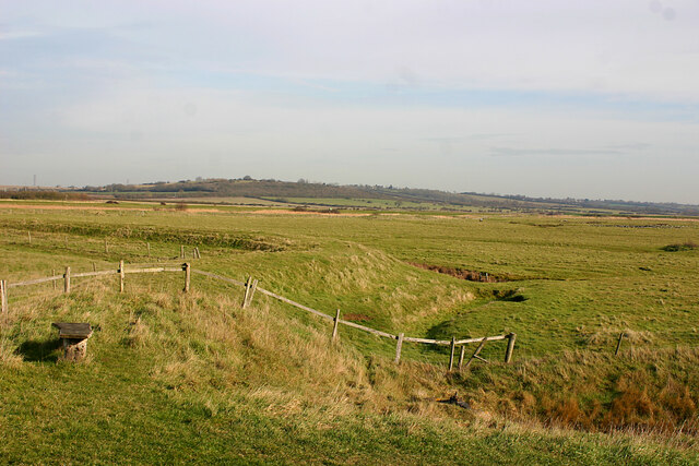
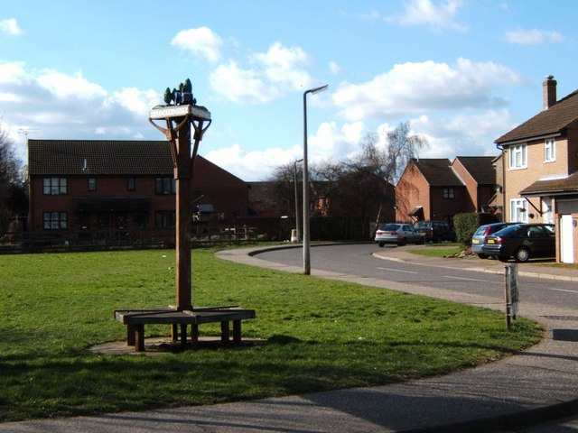
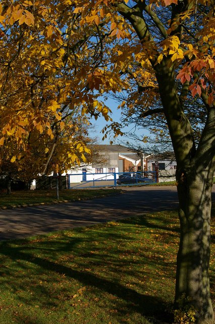
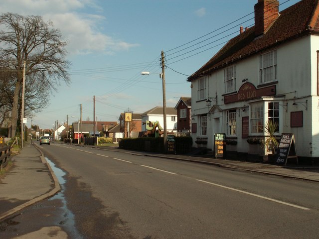
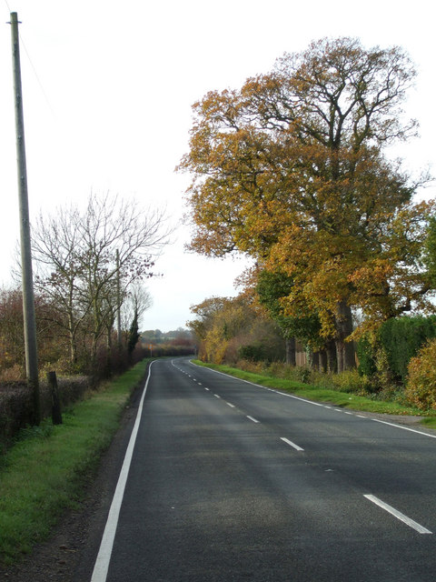
Snorehamall Grove Images
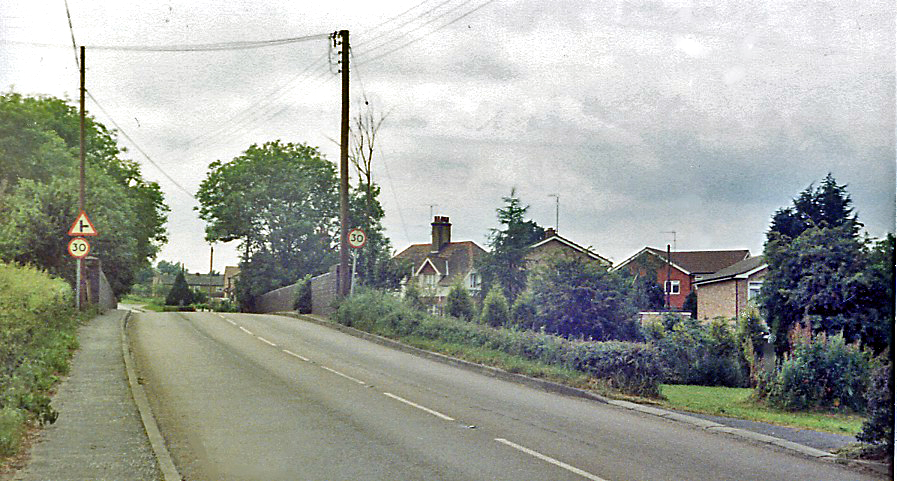
Images are sourced within 2km of 51.661754/0.71232781 or Grid Reference TQ8799. Thanks to Geograph Open Source API. All images are credited.


Snorehamall Grove is located at Grid Ref: TQ8799 (Lat: 51.661754, Lng: 0.71232781)
Administrative County: Essex
District: Maldon
Police Authority: Essex
What 3 Words
///confining.responded.invented. Near Latchingdon, Essex
Nearby Locations
Related Wikis
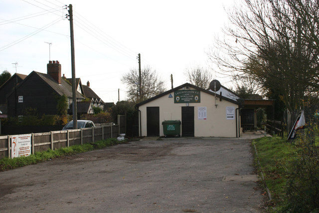
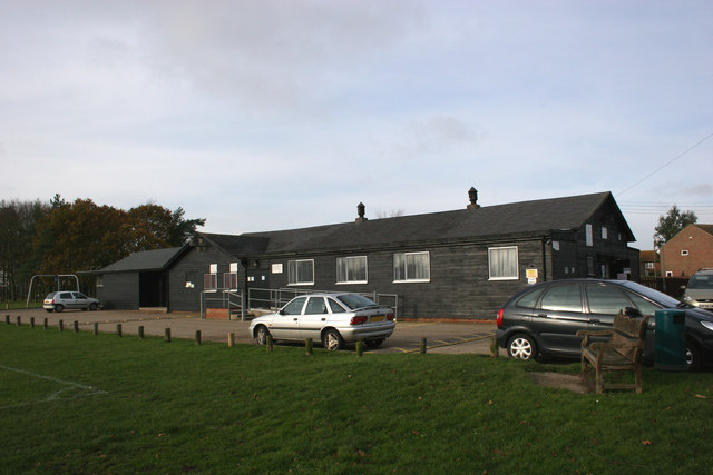
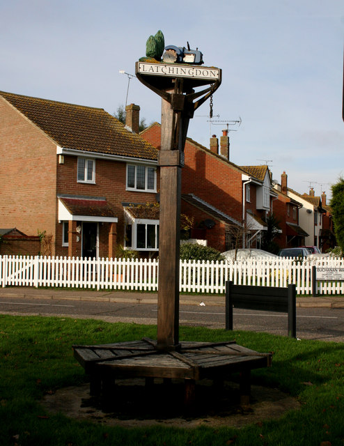
Latchingdon
Latchingdon is a village situated in the Dengie Peninsula in Essex, England, south of the city of Chelmsford. The parish was at one time called Latchingdon...
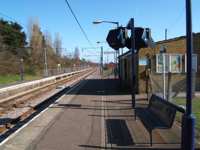
North Fambridge railway station
North Fambridge railway station is on the Crouch Valley Line in the East of England, serving the village of North Fambridge, Essex. It is 37 miles 27 chains...
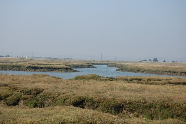
Crouch and Roach Estuaries
The Crouch and Roach Estuaries are a 1729 hectare biological Site of Special Scientific Interest (SSSI) at the mouth of the Crouch and Roach rivers in...
Cold Norton railway station
Cold Norton railway station served the village of Cold Norton, Essex. It was opened on 1 October 1889 by the Great Eastern Railway on a single-track branch...
Nearby Amenities
Located within 500m of 51.661754,0.71232781Have you been to Snorehamall Grove?
Leave your review of Snorehamall Grove below (or comments, questions and feedback).