Worplesdon

Civil Parish in Surrey Guildford

England

Worplesdon

Wood Street Village Seen from the White Hart Public House.
Wood Street Village Credit: Christine Matthews

Worplesdon is a civil parish located in the county of Surrey, England. Situated approximately four miles northwest of Guildford, it covers an area of about 12 square miles. The parish is bordered by the River Wey to the east and the A3 trunk road to the west.

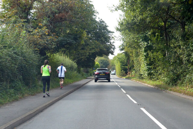
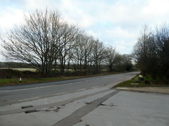
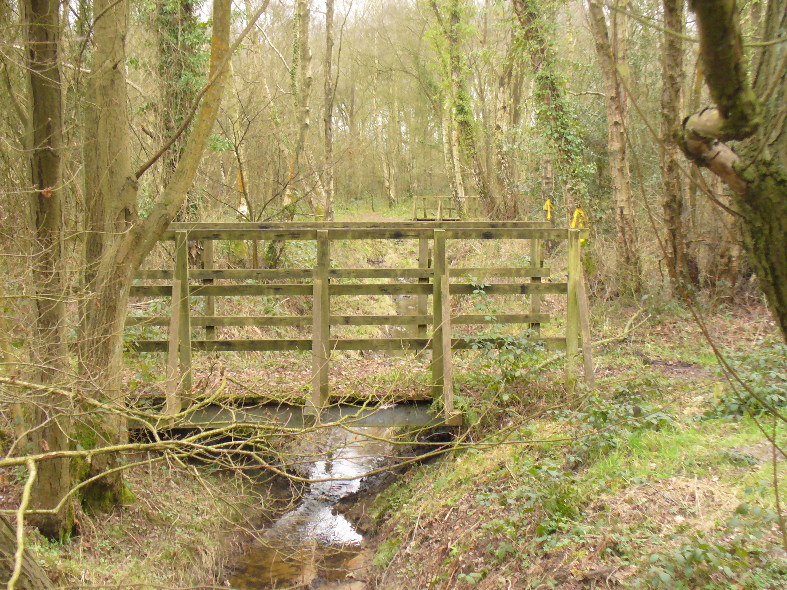
Worplesdon is known for its picturesque countryside, with rolling hills, woodlands, and meadows, providing a tranquil setting for residents and visitors alike. It is a popular destination for nature lovers, offering several walking trails and outdoor recreational activities.

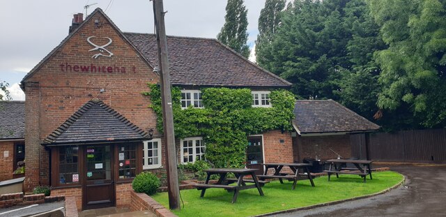
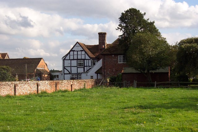
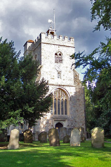
The village of Worplesdon itself is characterized by its charming, traditional English architecture, with many historic buildings and thatched cottages still standing. St Mary's Church, a Grade I listed building dating back to the 12th century, is a prominent landmark in the area.

The parish also boasts a strong sense of community, with various social and recreational facilities available. These include a local primary school, a village hall, a cricket club, and a golf club. The annual Worplesdon Village Fair is a highlight of the social calendar, attracting both residents and visitors with its array of stalls, entertainment, and traditional festivities.

Transport links in Worplesdon are convenient, with a railway station providing regular services to Guildford and London Waterloo. The nearby A3 road also offers easy access to surrounding towns and cities.

Overall, Worplesdon offers a charming and idyllic countryside setting, combined with a strong community spirit, making it an attractive place to live or visit in Surrey.

If you have any feedback on the listing, please let us know in the comments section below.
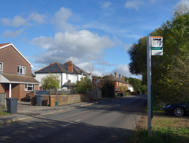
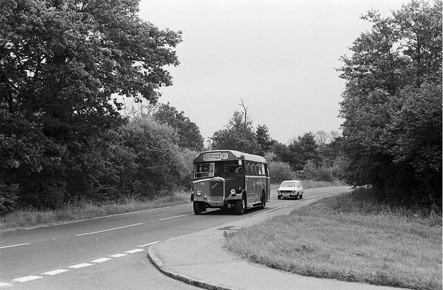
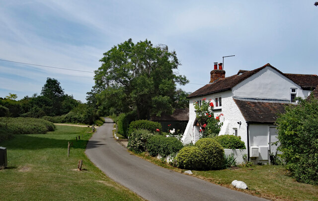
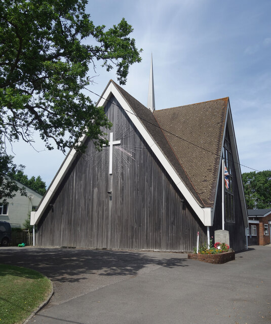
Worplesdon Images

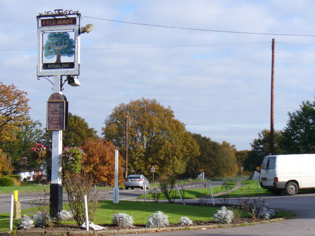
Images are sourced within 2km of 51.257574/-0.628578 or Grid Reference SU9551. Thanks to Geograph Open Source API. All images are credited.

Wood Street Village Seen from the White Hart Public House.
Wood Street Village
Seen from the White Hart Public House.
White Hart Public House, Wood Street Village Seen from the White Hart Public House car park.
White Hart Public House, Wood Street Village
Seen from the White Hart Public House car park.
Holly Lane, south from Worplesdon
A slower type of joyrider This historic vehicle on the A323 at Willey Green seems to have ended its days here. Elsewhere, historic events this month include: January 4 – China, France, Russia, the United Kingdom and the United States—all five permanent members of the United Nations Security Council—issue a rare joint statement affirming that "a nuclear war cannot be won and must never be fought."; January 10 – The first successful heart transplant from a pig to a human patient is reported; January 14 - a very large eruption on Hunga Tonga–Hunga Haʻapai, an uninhabited volcanic island and submarine volcano of the Tongan archipelago in the southern Pacific Ocean; January 16 – World No. 1 tennis champion Novak Djokovic is deported from Australia following a high-profile legal case regarding his COVID-19 vaccination status, preventing his participation in the 2022 Australian Open; January 28 – COVID-19 pandemic: The number of vaccinations administered worldwide exceeds 10 billion;January 31 – Sue Gray’s long awaited report appears but without many specific revelations, as it has been passed to the police
A slower type of joyrider
This historic vehicle on the A323 at Willey Green seems to have ended its days here. Elsewhere, historic events this month include: January 4 – China, France, Russia, the United Kingdom and the United States—all five permanent members of the United Nations Security Council—issue a rare joint statement affirming that "a nuclear war cannot be won and must never be fought."; January 10 – The first successful heart transplant from a pig to a human patient is reported; January 14 - a very large eruption on Hunga Tonga–Hunga Haʻapai, an uninhabited volcanic island and submarine volcano of the Tongan archipelago in the southern Pacific Ocean; January 16 – World No. 1 tennis champion Novak Djokovic is deported from Australia following a high-profile legal case regarding his COVID-19 vaccination status, preventing his participation in the 2022 Australian Open; January 28 – COVID-19 pandemic: The number of vaccinations administered worldwide exceeds 10 billion;January 31 – Sue Gray’s long awaited report appears but without many specific revelations, as it has been passed to the police
Winter trees opposite Wyldecrest Park on the A323 The weather this month was largely mild and uneventful <span class="nowrap"><a title="https://www.metoffice.gov.uk/binaries/content/assets/metofficegovuk/pdf/weather/learn-about/uk-past-events/summaries/uk_monthly_climate_summary_202201a.pdf" rel="nofollow ugc noopener" href="https://www.metoffice.gov.uk/binaries/content/assets/metofficegovuk/pdf/weather/learn-about/uk-past-events/summaries/uk_monthly_climate_summary_202201a.pdf">Link</a><img style="margin-left:2px;" alt="External link" title="External link - shift click to open in new window" src="https://s1.geograph.org.uk/img/external.png" width="10" height="10"/></span> until the last few days when we were hit successively by Storm Malik and Storm Corrie <span class="nowrap"><a title="https://www.itv.com/news/border/2022-01-30/scots-could-be-without-power-as-officials-warn-storm-corrie-may-be-worse" rel="nofollow ugc noopener" href="https://www.itv.com/news/border/2022-01-30/scots-could-be-without-power-as-officials-warn-storm-corrie-may-be-worse">Link</a><img style="margin-left:2px;" alt="External link" title="External link - shift click to open in new window" src="https://s1.geograph.org.uk/img/external.png" width="10" height="10"/></span>
Winter trees opposite Wyldecrest Park on the A323
The weather this month was largely mild and uneventful LinkExternal link until the last few days when we were hit successively by Storm Malik and Storm Corrie LinkExternal link
Pond in the Research Park In the grounds of the Surrey Research Park.
Pond in the Research Park
In the grounds of the Surrey Research Park.
Apple Tree on the Common A solitary wild apple tree is growing on Broadstreet Common, an area of access land managed as a nature reserve on the edge of Guildford.
Apple Tree on the Common
A solitary wild apple tree is growing on Broadstreet Common, an area of access land managed as a nature reserve on the edge of Guildford.
Broad Street Cottages Bus Stop A row of houses surrounded by common land.
Broad Street Cottages Bus Stop
A row of houses surrounded by common land.
Dorrit Crescent With woods in the background, this is a suburban street right on the edge of Guildford.
Dorrit Crescent
With woods in the background, this is a suburban street right on the edge of Guildford.
Corner of Ferndale A residential street on the west side of Guildford.
Corner of Ferndale
A residential street on the west side of Guildford.
Aldershot Road at Frog Grove Lane – 1972 The bus is preserved Aldershot & District Dennis Lancet no.178, probably on its way to a bus rally.

This is one of a series of views featuring buses in the 60s, 70s, and 80s. <a title="https://www.geograph.org.uk/search.php?i=137652761" href="https://www.geograph.org.uk/search.php?i=137652761">Link</a>
Aldershot Road at Frog Grove Lane – 1972
The bus is preserved Aldershot & District Dennis Lancet no.178, probably on its way to a bus rally. This is one of a series of views featuring buses in the 60s, 70s, and 80s. Link
Pavilion on the Playing Field Beside a cricket field. The building seems to double as a play school, hence the assorted coloured plastic toys outside.
Pavilion on the Playing Field
Beside a cricket field. The building seems to double as a play school, hence the assorted coloured plastic toys outside.
Roses round the Door A picturesque old house along White Hart Lane which has been here since 1672 according to the date above the door.
Roses round the Door
A picturesque old house along White Hart Lane which has been here since 1672 according to the date above the door.
The White Hart An old country pub along a quiet road.
The White Hart
An old country pub along a quiet road.
Wood Street Green A large village green with a wind vane on top of a flagstaff dating from 1953, the coronation of Queen Elizabeth.
Wood Street Green
A large village green with a wind vane on top of a flagstaff dating from 1953, the coronation of Queen Elizabeth.
Traffic Island, Pound Hill, Wood Street Mid 20th century suburban housing to the east of the village green.
Traffic Island, Pound Hill, Wood Street
Mid 20th century suburban housing to the east of the village green.
St Alban's Church A church has been on this site since 1925, with the present building replacing the old church in 1967.
A few more details on <span class="nowrap"><a title="https://www.woodstreetvillagehistorysociety.co.uk/portfolio-item/church/" rel="nofollow ugc noopener" href="https://www.woodstreetvillagehistorysociety.co.uk/portfolio-item/church/">Link</a><img style="margin-left:2px;" alt="External link" title="External link - shift click to open in new window" src="https://s1.geograph.org.uk/img/external.png" width="10" height="10"/></span> from the Wood Street Village History Society.
No tag yet for 1960s Church, although there must be quite a few. I have just added the new tag.
St Alban's Church
A church has been on this site since 1925, with the present building replacing the old church in 1967. A few more details on LinkExternal link from the Wood Street Village History Society. No tag yet for 1960s Church, although there must be quite a few. I have just added the new tag.
Village Pond, Wood Street Green A small pond over the road from the green.
Village Pond, Wood Street Green
A small pond over the road from the green.
Show me another place!

Worplesdon is located at Grid Ref: SU9551 (Lat: 51.257574, Lng: -0.628578)

Administrative County: Surrey

District: Guildford

Police Authority: Surrey

What 3 Words

///remainder.shelf.nail. Near Fairlands, Surrey

Related Wikis

Littlefield Common

Littlefield Common is a 17-hectare (42-acre) nature reserve south-west of Worplesdon in Surrey. It is owned by Surrey County Council and managed by the...

Fairlands

Fairlands is the largest settlement (neighbourhood) of Worplesdon, a village with a civil parish council in the Borough of Guildford, Surrey, England....

Wood Street Village

Wood Street Village is a clustered and linear village in Surrey, England with a village green, buffered by Metropolitan Green Belt on all sides. It is...

Broadstreet, Backside and Rydes Commons

Broadstreet, Backside and Rydes Commons is a 158-hectare (390-acre) nature reserve in Wood Street Village in Surrey. It is owned by Surrey County Council...

Normandy, Surrey

Normandy is a civil parish of 16.37 square kilometres (4,050 acres) in the borough of Guildford in Surrey, England and the name of the largest village...

Surrey Satellite Technology

Surrey Satellite Technology Ltd, or SSTL, is a company involved in the manufacture and operation of small satellites. A spin-off company of the University...

Worplesdon

Worplesdon is a village 3.1 miles (5.0 km) NNW of Guildford in Surrey, England and a large dispersed civil parish that includes the settlements of: Worplesdon...

Wyke, Surrey

Wyke is a rural and suburban village in Surrey, England. Its local government district is the Borough of Guildford. The nearest town is Aldershot, 2...

Nearby Amenities

Located within 500m of 51.257574,-0.628578
Post Box
Collection Plate: CP7D
Collection Times: Mo-Fr 09:00; Sa 07:00
Last Checked: 2021-06-09
Old Ref: GU3 275
Operator: Royal Mail
Post Box Type: lamp
Postal Code: GU3
Ref: GU3 275D
Royal Cypher: EIIR
Royal Cypher Wikidata: Q33102113
Source: photo
Source 1: survey
Lat/Long: 51.2587898/-0.6225959
Barrier: stile
Lat/Long: 51.2618789/-0.6301846
Barrier: stile
Lat/Long: 51.2605209/-0.6257072
Barrier: stile
Lat/Long: 51.2552261/-0.633205
Barrier: stile
Lat/Long: 51.2594597/-0.6346859
Barrier: stile
Lat/Long: 51.259431/-0.6348079
Anger's Hill
Natural: peak
Source: npe
Source Name: OS_OpenData_StreetView
Lat/Long: 51.2579814/-0.635361
Envis Way
Naptan AtcoCode: 40004407477B
Naptan Bearing: W
Naptan BusStopType: CUS
Naptan CommonName: Envis Way
Naptan Indicator: O/s 90
Naptan Landmark: Envis Way
Naptan NaptanCode: suratmgm
Naptan PlusbusZoneRef: GUILDFD
Naptan Street: Envis Way
Naptan Verified: no
Source: naptan_import
Lat/Long: 51.2586028/-0.6216751
Barrier: stile
Lat/Long: 51.257331/-0.6283884
Man Made: phone_mast
Lat/Long: 51.2571836/-0.6284571
Barrier: stile
Lat/Long: 51.2552302/-0.6233554
Barrier: stile
Lat/Long: 51.255847/-0.625372
Round Hill
Natural: peak
Source: OS_OpenData_StreetView
Lat/Long: 51.2584306/-0.6320553
The data included in this document is from www.openstreetmap.org. The data is made available under ODbL.

Have you been to Worplesdon?

Leave your review of Worplesdon below (or comments, questions and feedback).