Wilmcote
Civil Parish in Warwickshire Stratford-on-Avon
England
Wilmcote
Wilmcote is a civil parish located in the county of Warwickshire, England. Situated about three miles west of the town of Stratford-upon-Avon, it covers an area of approximately 5.7 square kilometers. The parish is mainly rural, comprising of picturesque countryside, rolling fields, and several small villages.
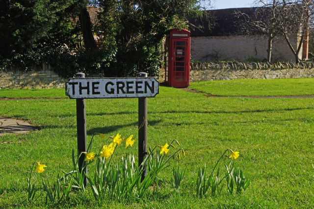
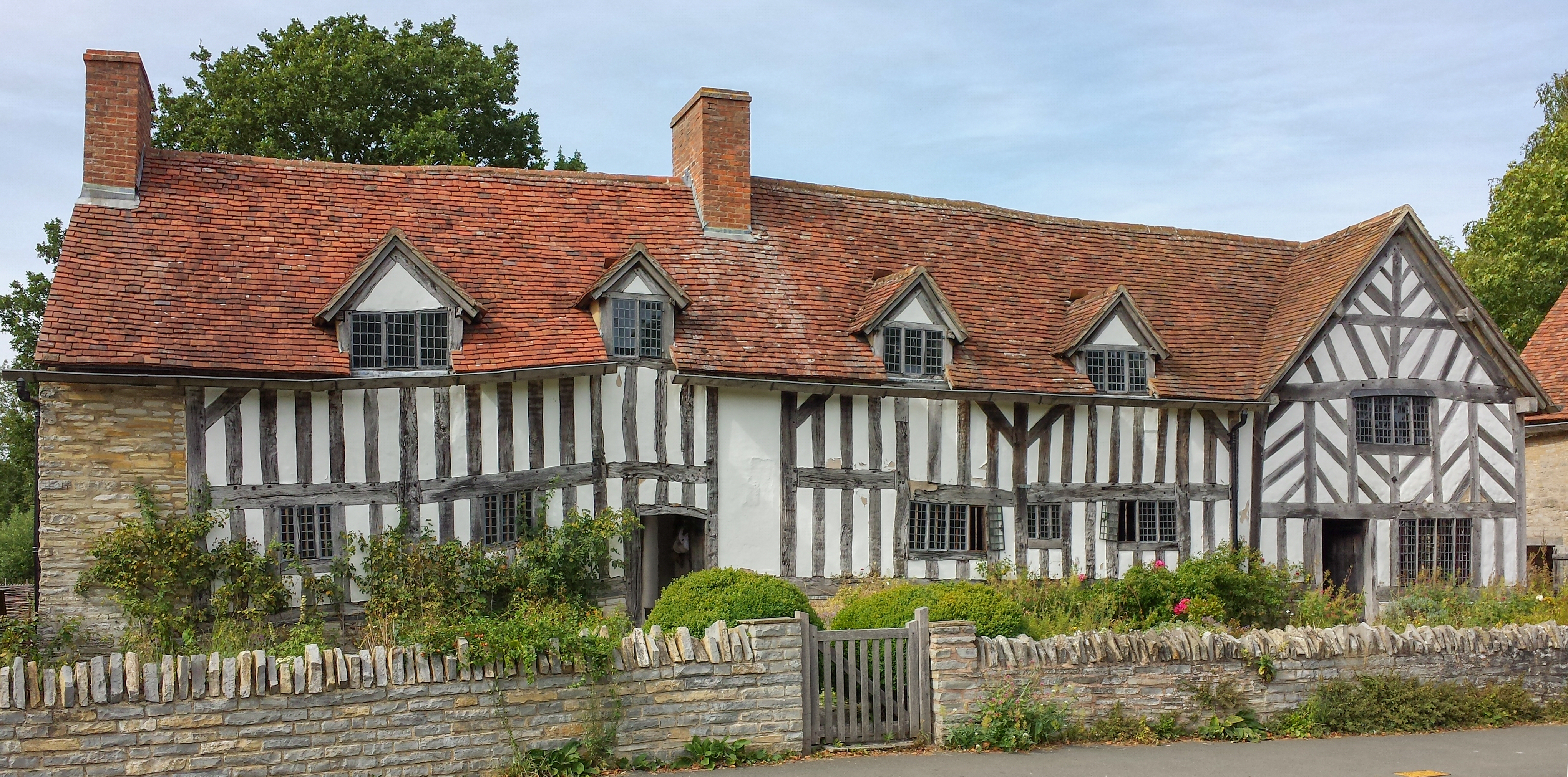
The village of Wilmcote itself is the largest settlement within the civil parish. It is home to a population of around 1,000 residents. The village is renowned for its historic significance and retains much of its traditional charm. One of its notable landmarks is Mary Arden's Farm, the childhood home of William Shakespeare's mother. This Tudor farmhouse is now a popular tourist attraction, offering visitors a glimpse into rural life during the Elizabethan era.
In addition to the farm, Wilmcote has a range of amenities for its residents and visitors. These include a primary school, a village hall, a post office, a convenience store, and a few local pubs. The village also benefits from excellent transport links, with regular bus services connecting it to nearby towns and cities.
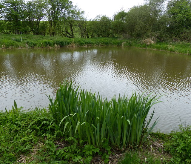
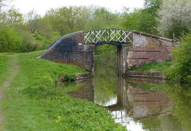
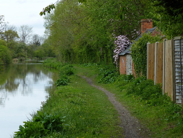
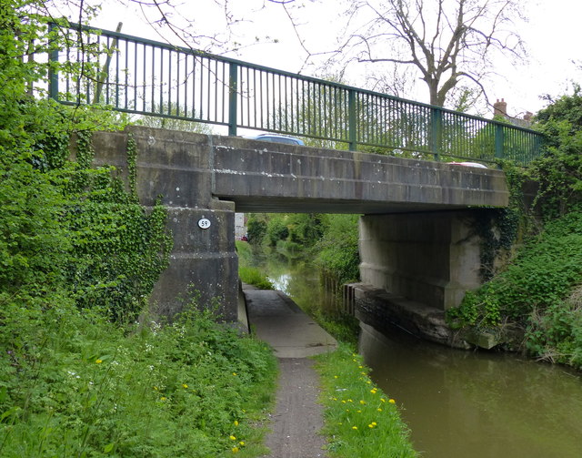
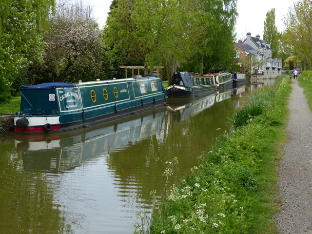
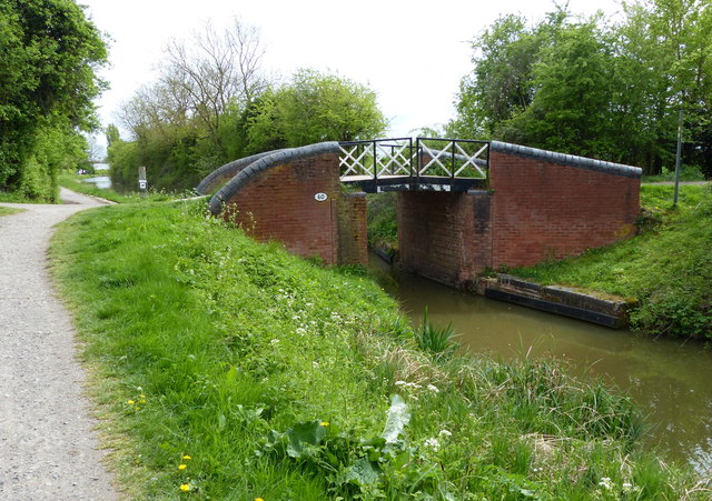
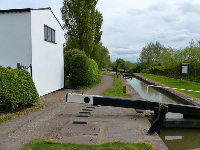
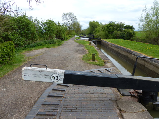
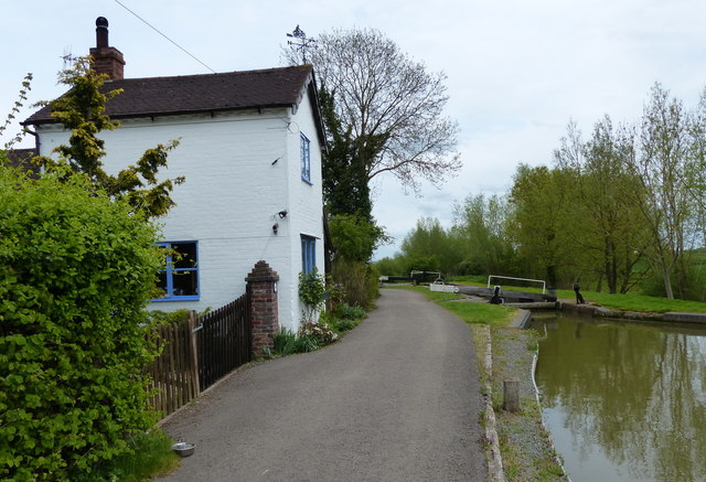
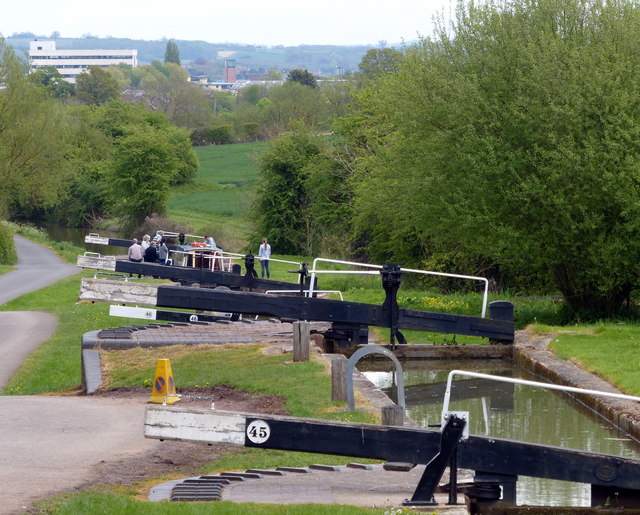
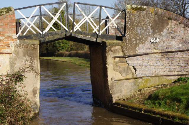
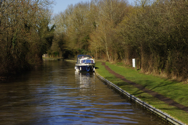
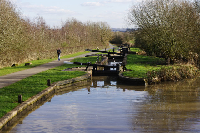
The surrounding countryside offers opportunities for outdoor activities such as walking, cycling, and horse riding. The nearby Stratford-upon-Avon Canal is a popular spot for boating and fishing enthusiasts. The parish also boasts several nature reserves and green spaces, providing habitats for a variety of wildlife.
Overall, Wilmcote is a charming and historic civil parish, offering residents and visitors a tranquil and picturesque setting in the heart of Warwickshire.
If you have any feedback on the listing, please let us know in the comments section below.
Wilmcote Images
Images are sourced within 2km of 52.222101/-1.757063 or Grid Reference SP1658. Thanks to Geograph Open Source API. All images are credited.

Wilmcote is located at Grid Ref: SP1658 (Lat: 52.222101, Lng: -1.757063)
Administrative County: Warwickshire
District: Stratford-on-Avon
Police Authority: Warwickshire
What 3 Words
///painter.starfish.decreased. Near Wilmcote, Warwickshire
Nearby Locations
Related Wikis

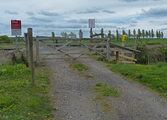
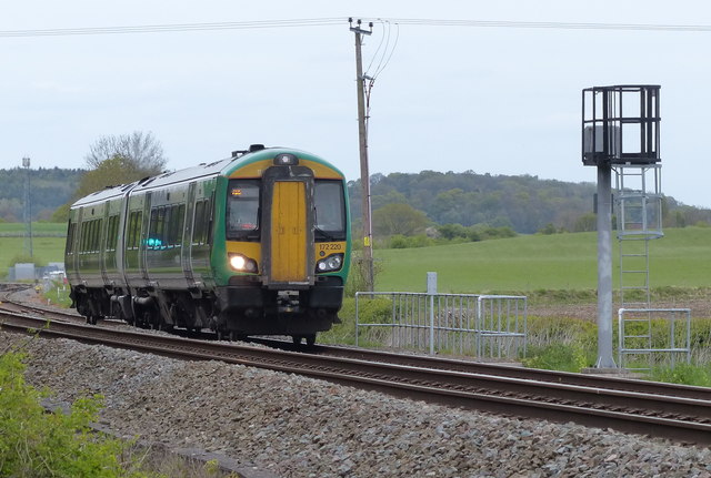
Wilmcote railway station
Wilmcote railway station serves the village of Wilmcote, about 4 miles (6.4 km) north of Stratford-upon-Avon in Warwickshire, England. The station is run...
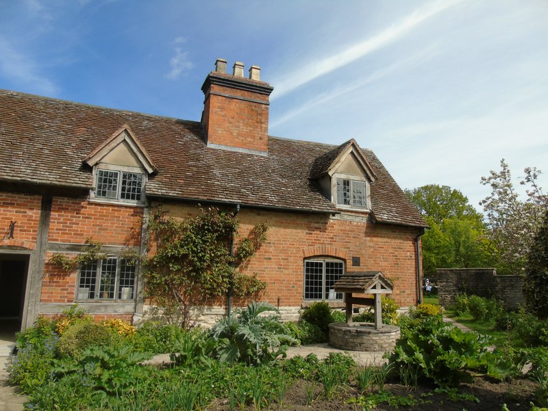
Mary Arden's Farm
Mary Arden's Farm, also known as Mary Arden's House, is the farmhouse of Mary Shakespeare (née Arden), the mother of Elizabethan playwright William Shakespeare...
Wilmcote
Wilmcote is a village, and since 2004 a separate civil parish, in the English county of Warwickshire, about 3 miles (5 km) north of Stratford-upon-Avon...

Pathlow, Warwickshire
Pathlow is a hamlet in the English county of Warwickshire. Pathlow lies to the east of the village of Wilmcote (where the population is included) some...
Nearby Amenities
Located within 500m of 52.222101,-1.757063Have you been to Wilmcote?
Leave your review of Wilmcote below (or comments, questions and feedback).