Wilmington
Civil Parish in Kent Dartford
England
Wilmington
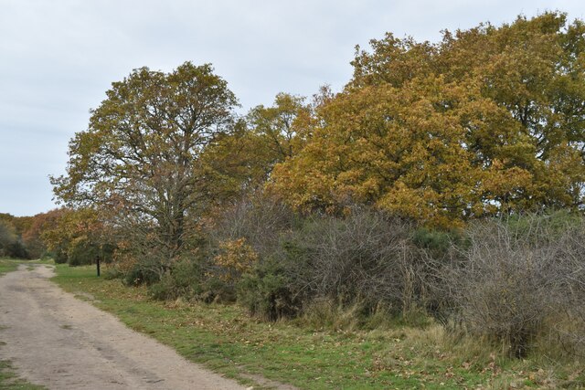
Wilmington is a civil parish located in the county of Kent, in southeastern England. Situated about five miles northwest of Dartford, the parish covers an area of approximately 2.4 square miles. It is surrounded by picturesque countryside, with the Darent Valley to the south and the North Downs to the north.
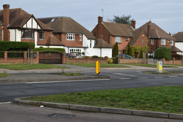
The village of Wilmington itself is small and charming, with a population of around 3,000 residents. It is known for its historic buildings, including the 12th-century St. Michael and All Angels Church with its distinctive round tower. The village also boasts a village hall, a primary school, and a few shops and amenities.
One of the main attractions in Wilmington is the Wilmington Giant, a hill figure cut into the chalk hillside. Believed to date back to prehistoric times, the giant is about 230 feet tall and is best viewed from the nearby A2 road. The figure is often associated with various legends and folklore.
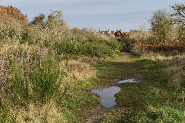
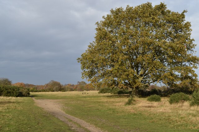
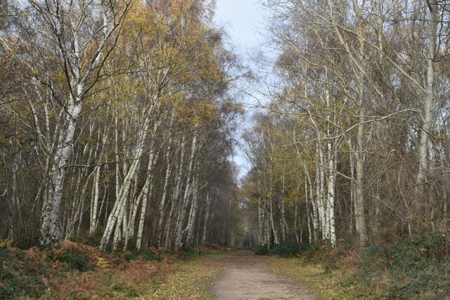
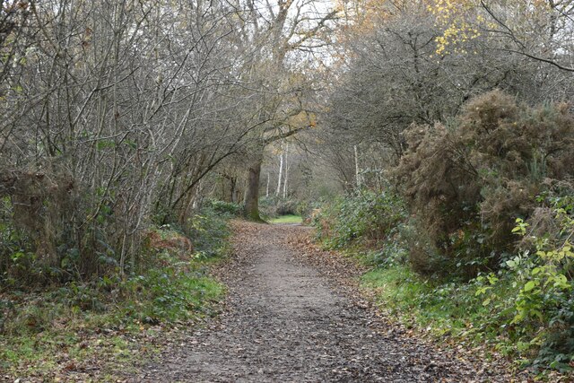
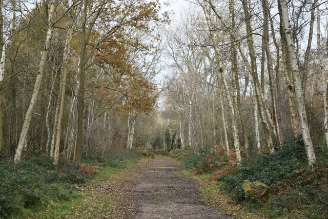
The surrounding area offers plenty of opportunities for outdoor activities and exploration. The North Downs Way, a long-distance footpath, passes through the parish, providing walkers with stunning views of the countryside. The nearby Darent Valley Path is also popular among hikers and nature lovers.
Overall, Wilmington is a peaceful and picturesque civil parish that offers a blend of history, natural beauty, and rural charm. It is a popular destination for those seeking a quiet retreat or an escape from the hustle and bustle of nearby towns and cities.
If you have any feedback on the listing, please let us know in the comments section below.
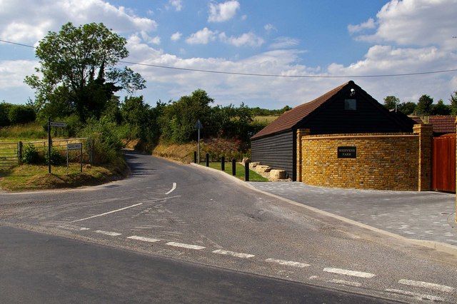
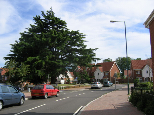
Wilmington Images
Images are sourced within 2km of 51.423453/0.191606 or Grid Reference TQ5271. Thanks to Geograph Open Source API. All images are credited.


Wilmington is located at Grid Ref: TQ5271 (Lat: 51.423453, Lng: 0.191606)
Administrative County: Kent
District: Dartford
Police Authority: Kent
What 3 Words
///opens.having.rails. Near Dartford, Kent
Nearby Locations
Related Wikis
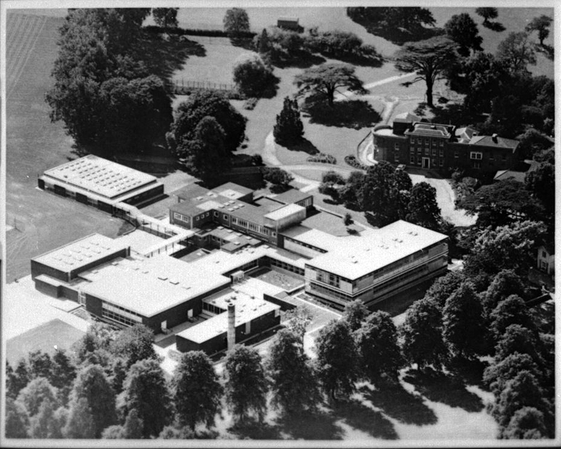
Wilmington Academy
Wilmington Academy is a mixed secondary school located in Wilmington, Kent in the United Kingdom. It stands next to the site of Wilmington Hall. Wilmington...
Wilmington Grammar School for Boys
Wilmington Grammar School for Boys (WGSB) is a selective grammar school with academy status in Wilmington, Kent. From 1954 to 1982, the school was called...

Wilmington Grammar School for Girls
Wilmington Grammar School for Girls (WGSG), previously known as the Grammar School for Girls Wilmington, is a grammar school with academy status in Wilmington...

Wilmington, Kent
Wilmington is a village and civil parish in the Borough of Dartford in Kent, England. It is located 2.7 miles south of Dartford, 3.5 miles north of Swanley...
Nearby Amenities
Located within 500m of 51.423453,0.191606Have you been to Wilmington?
Leave your review of Wilmington below (or comments, questions and feedback).