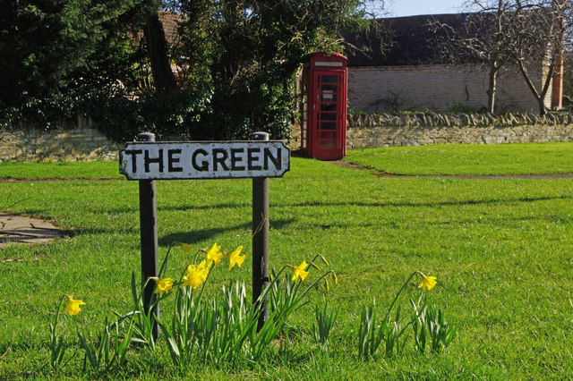
Wilmcote
Settlement in Warwickshire Stratford-on-Avon
England
Wilmcote
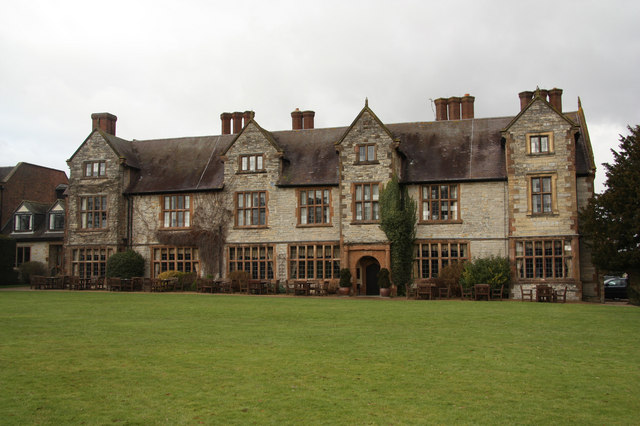
Wilmcote is a picturesque village located in the county of Warwickshire, England. Situated approximately three miles northwest of Stratford-upon-Avon, it is nestled in the heart of the English countryside, surrounded by rolling hills and meandering rivers. With a population of around 1,000 residents, Wilmcote exudes a charming, small-town atmosphere.
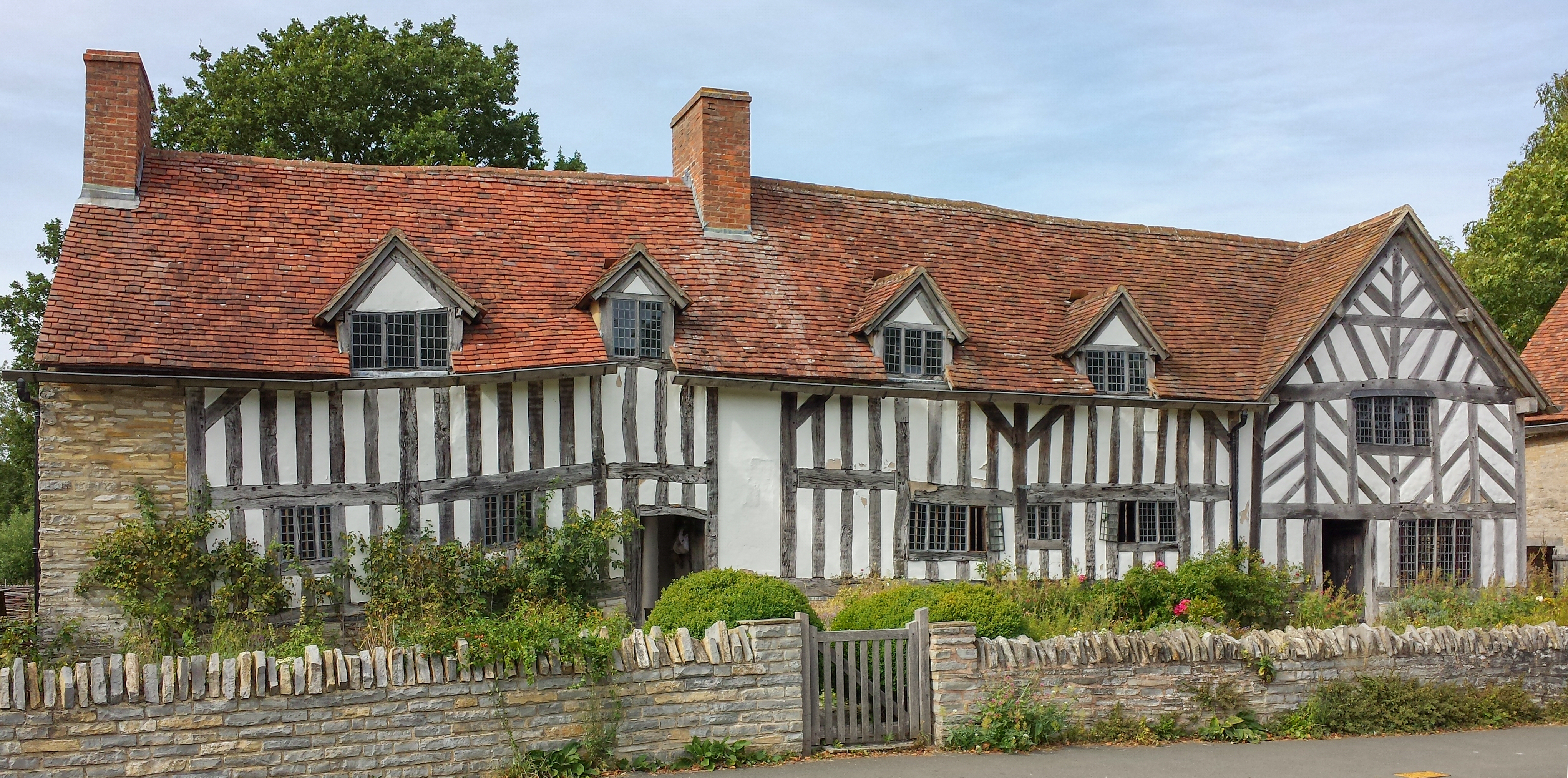
One of the village's main attractions is Mary Arden's Farm, the childhood home of William Shakespeare's mother. This historic Tudor farmhouse offers visitors a glimpse into rural life during the 16th century, complete with traditional farm animals, a blacksmith's forge, and period demonstrations.
Wilmcote is also home to Anne Hathaway's Cottage, the romantic abode of Shakespeare's wife. This beautifully preserved thatched cottage allows visitors to explore the rooms where Anne lived, while the surrounding gardens provide a tranquil setting for a leisurely stroll.
The village boasts a range of amenities, including a primary school, a post office, a village hall, and a local pub. Wilmcote's proximity to Stratford-upon-Avon ensures easy access to a wider range of shops, restaurants, and cultural attractions.
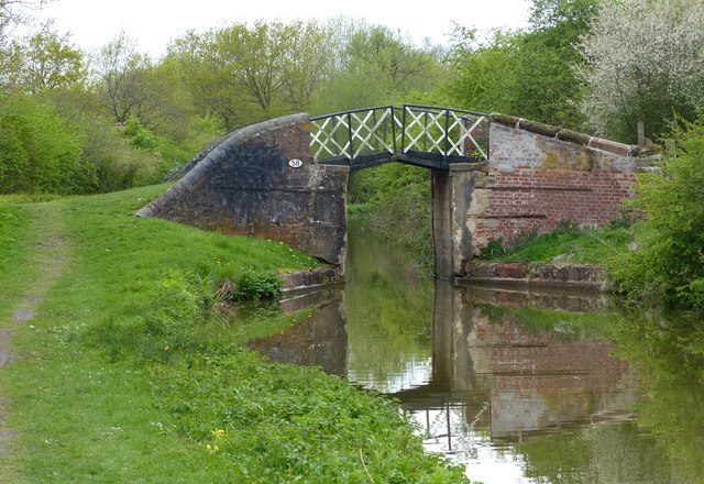
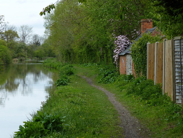
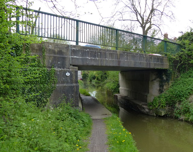
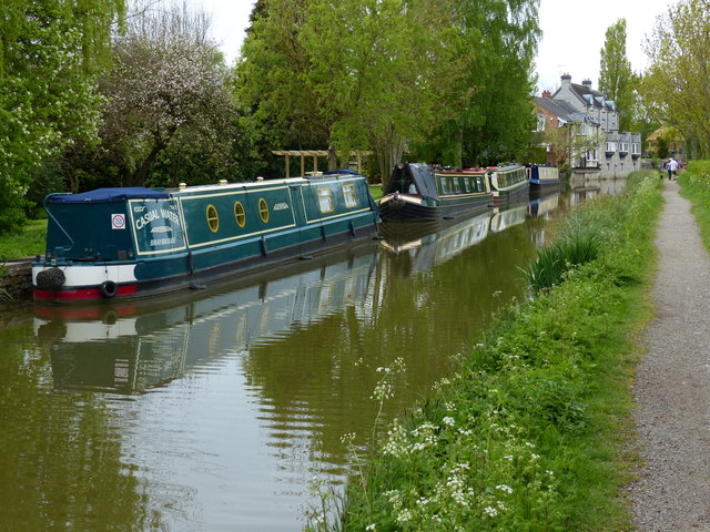
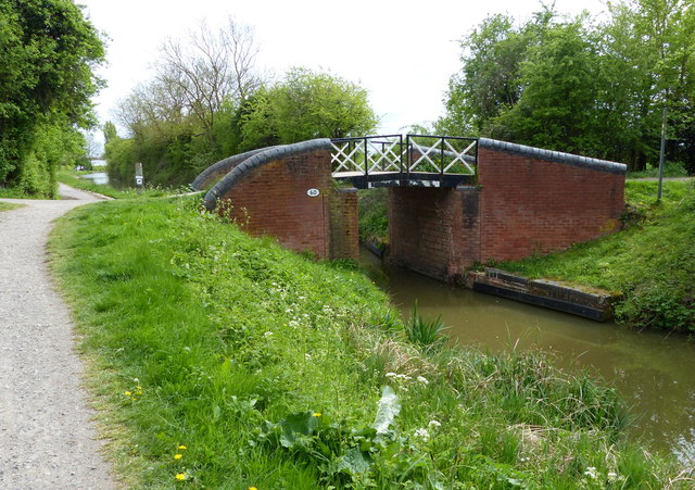
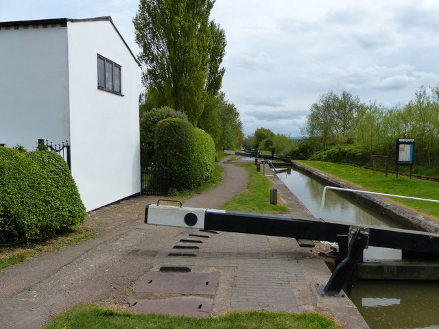
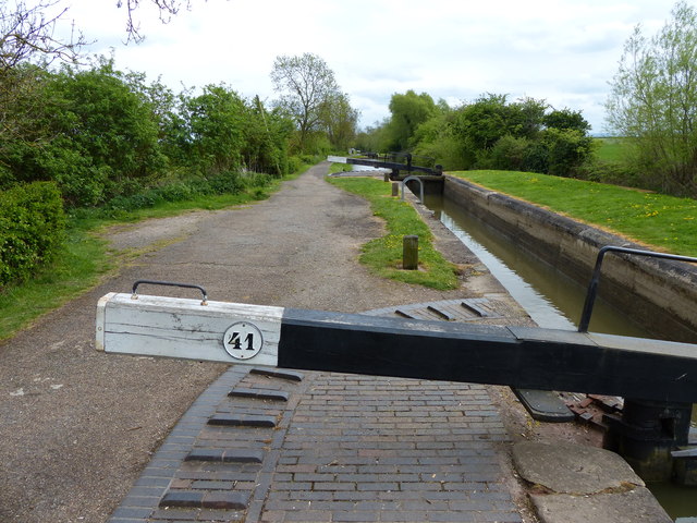
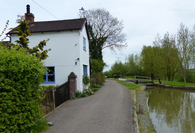
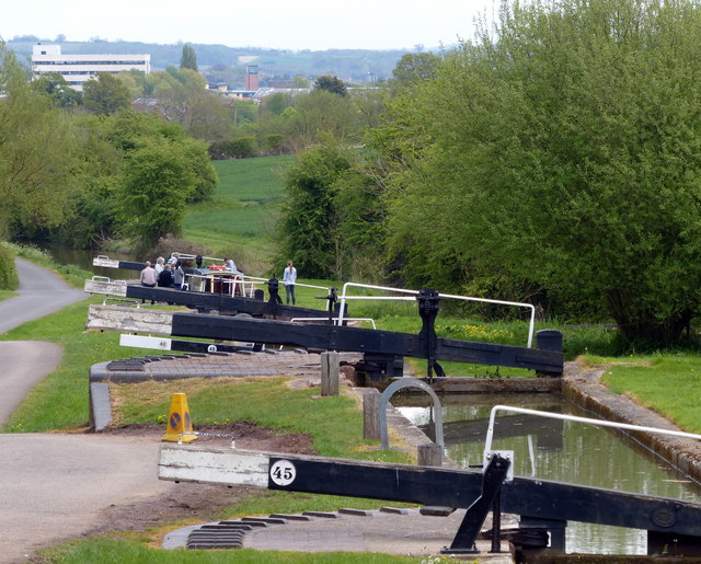
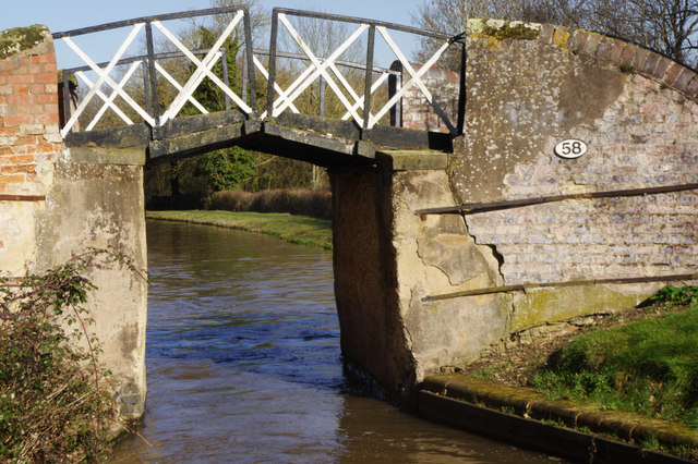
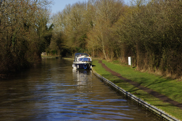
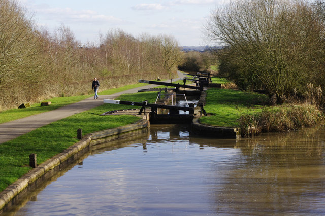
The surrounding countryside offers ample opportunities for outdoor activities, with numerous walking and cycling routes to explore. The nearby Stratford-upon-Avon Canal provides scenic boat trips and peaceful waterside walks.
Overall, Wilmcote offers a delightful blend of history, natural beauty, and village charm, making it an idyllic destination for both locals and visitors alike.
If you have any feedback on the listing, please let us know in the comments section below.
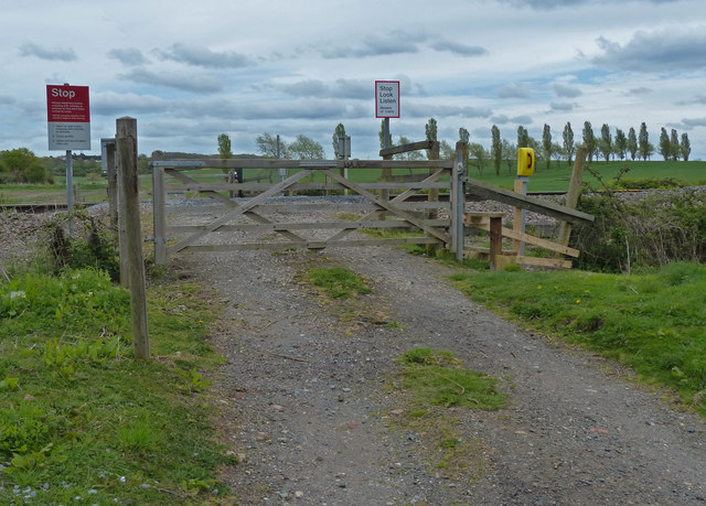
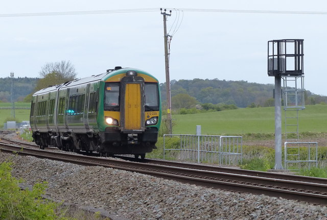
Wilmcote Images
Images are sourced within 2km of 52.220491/-1.7617925 or Grid Reference SP1658. Thanks to Geograph Open Source API. All images are credited.
Wilmcote is located at Grid Ref: SP1658 (Lat: 52.220491, Lng: -1.7617925)
Administrative County: Warwickshire
District: Stratford-on-Avon
Police Authority: Warwickshire
What 3 Words
///unlimited.nothing.edge. Near Wilmcote, Warwickshire
Nearby Locations
Related Wikis

Mary Arden's Farm
Mary Arden's Farm, also known as Mary Arden's House, is the farmhouse of Mary Shakespeare (née Arden), the mother of Elizabethan playwright William Shakespeare...
Wilmcote
Wilmcote is a village, and since 2004 a separate civil parish, in the English county of Warwickshire, about 3 miles (5 km) north of Stratford-upon-Avon...

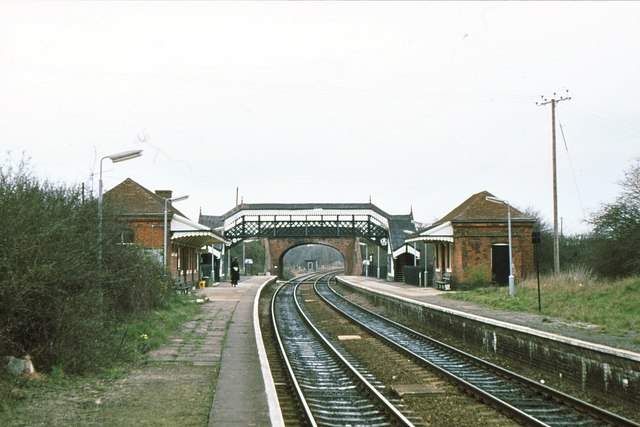
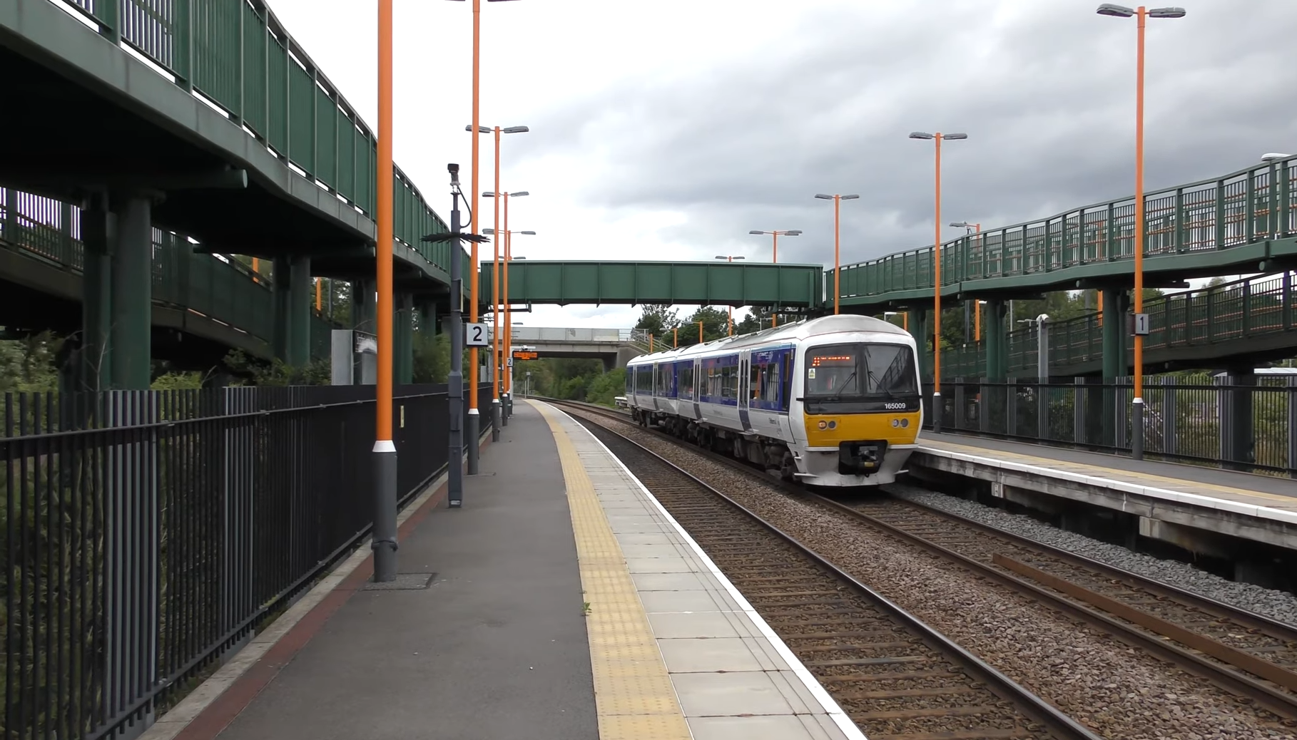
Wilmcote railway station
Wilmcote railway station serves the village of Wilmcote, about 4 miles (6.4 km) north of Stratford-upon-Avon in Warwickshire, England. The station is run...

Pathlow, Warwickshire
Pathlow is a hamlet in the English county of Warwickshire. Pathlow lies to the east of the village of Wilmcote (where the population is included) some...

All Saints Church, Billesley
All Saints Church is a redundant Anglican church in the village of Billesley, Warwickshire, England. It is recorded in the National Heritage List for...
Stratford Armouries
Stratford Armouries is a small museum attached to the Stratford-upon-Avon Lodge Retreat, a hotel offering cabin-based accommodation located near to the...
Stratford-upon-Avon Parkway railway station
Stratford-upon-Avon Parkway is a railway station located on the northern outskirts of Stratford-upon-Avon in Warwickshire, England. It is on the North...
Billesley, Warwickshire
Billesley is a village and civil parish in the Stratford district of Warwickshire, England, just off the A46 road, between Stratford and Alcester. According...
Nearby Amenities
Located within 500m of 52.220491,-1.7617925Have you been to Wilmcote?
Leave your review of Wilmcote below (or comments, questions and feedback).