Mary Arden's Fm
Heritage Site in Warwickshire
England
Mary Arden's Fm
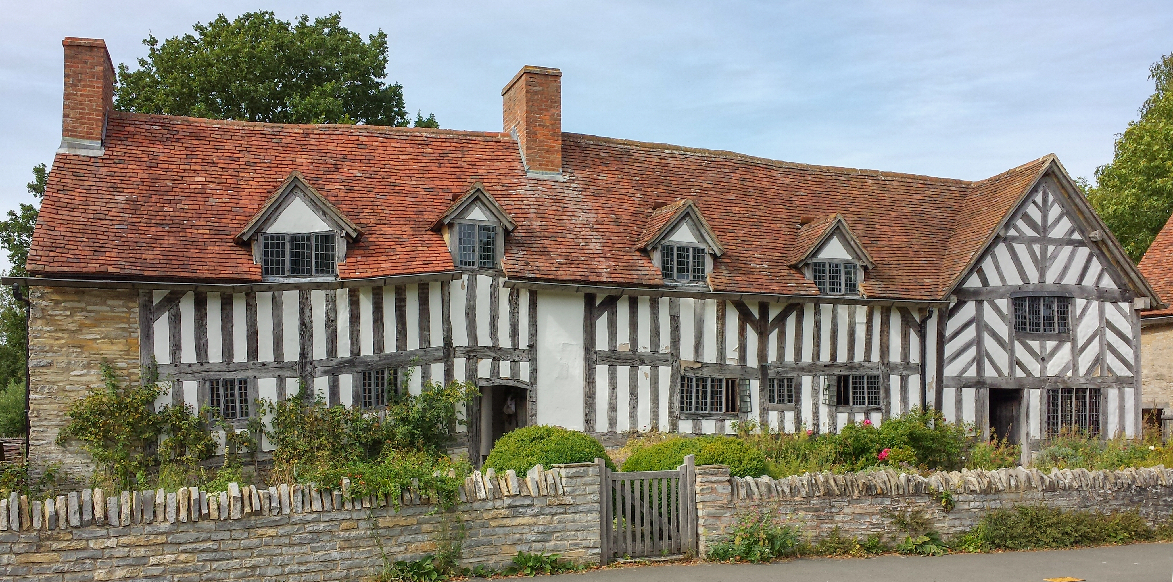
Mary Arden's Farm is a historic heritage site located in the idyllic countryside of Wilmcote, Warwickshire, England. The farm is a fascinating glimpse into the life and times of Mary Arden, the mother of the renowned playwright William Shakespeare.
The farmstead itself dates back to the Tudor period, with parts of the buildings dating as far back as the 15th century. It is believed that Mary Arden was born and raised on this very farm, and it has been meticulously restored to reflect its original appearance. Visitors can explore the farmhouse, barns, and outbuildings, all of which showcase the traditional rural lifestyle of the time.
The farm offers a truly immersive experience, with costumed actors recreating scenes from Mary Arden's daily life, including cooking, crafting, and tending to the animals. Visitors can try their hand at Tudor-era games and activities, and even participate in archery lessons. The farm also features an impressive collection of rare breed farm animals, such as Cotswold sheep and Gloucestershire Old Spot pigs, which were common during Mary Arden's time.
In addition to the farm itself, there are beautiful gardens surrounding the property, which visitors can leisurely stroll through. These gardens are planted with a variety of herbs, flowers, and vegetables, typical of an Elizabethan-era garden.
Mary Arden's Farm offers a unique and educational experience, providing an insight into the life of the Arden family and the rural heritage of Warwickshire. It is a must-visit destination for history enthusiasts, Shakespeare fans, and those seeking a delightful day trip in the English countryside.
If you have any feedback on the listing, please let us know in the comments section below.
Mary Arden's Fm Images
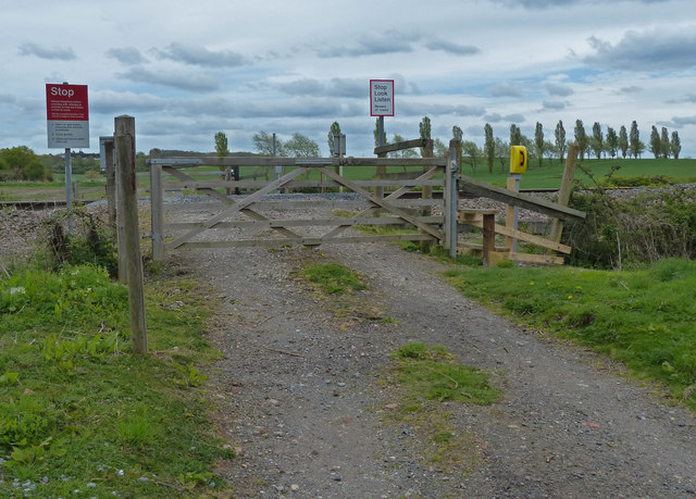
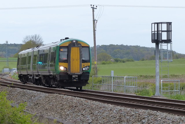
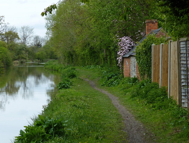
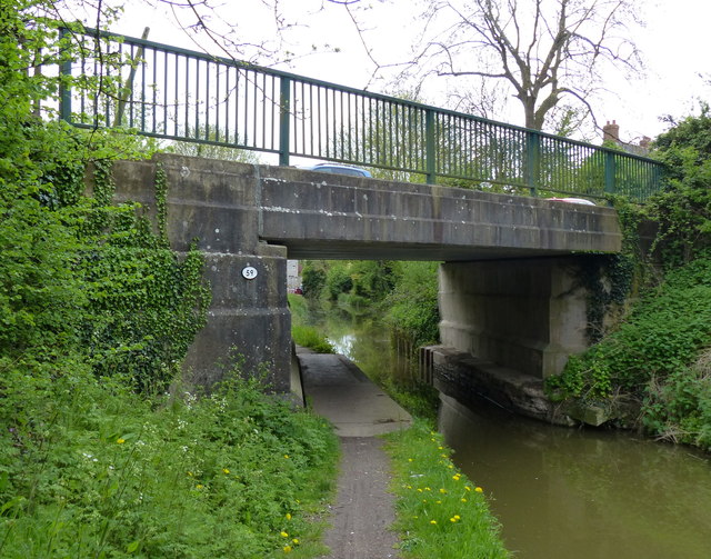
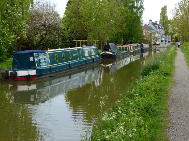
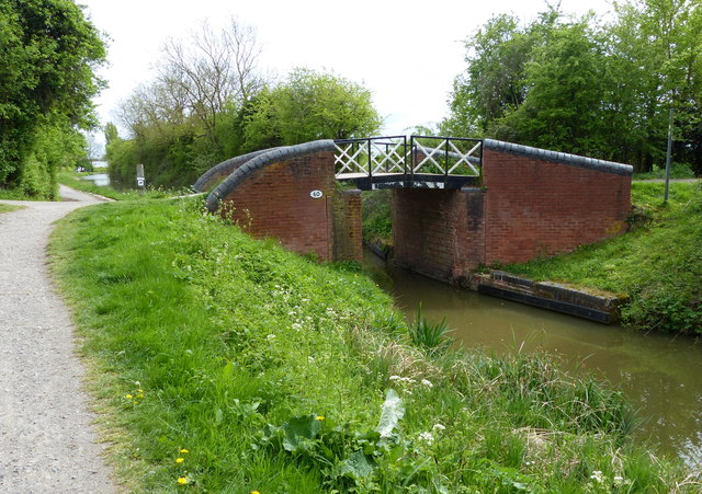
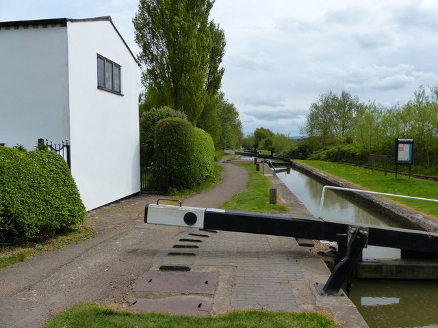
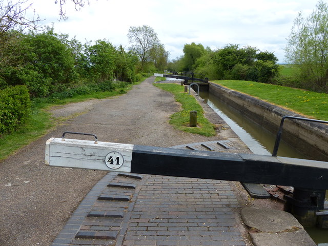
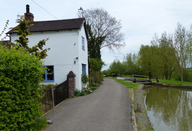
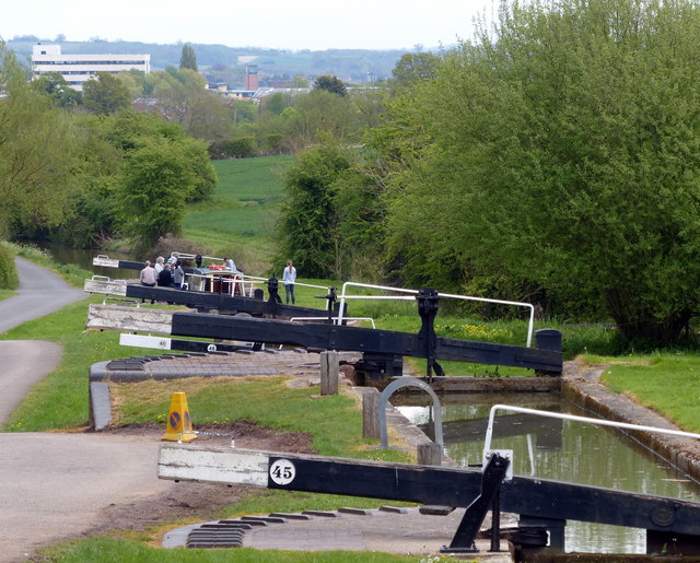
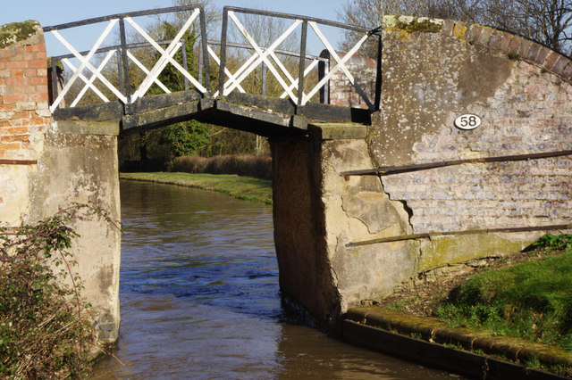
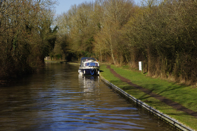
Images are sourced within 2km of 52.223/-1.758 or Grid Reference SP1658. Thanks to Geograph Open Source API. All images are credited.
Mary Arden's Fm is located at Grid Ref: SP1658 (Lat: 52.223, Lng: -1.758)
Police Authority: Warwickshire
What 3 Words
///ending.tutorial.inert. Near Wilmcote, Warwickshire
Nearby Locations
Related Wikis

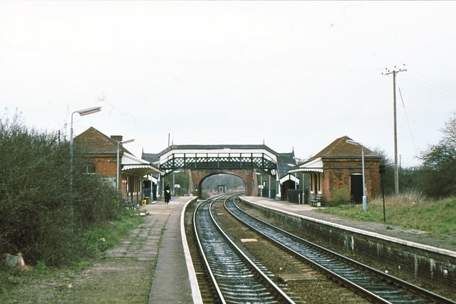
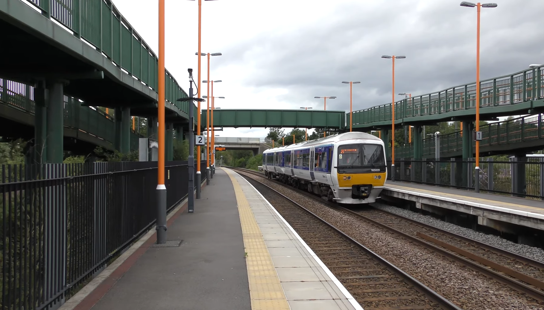
Wilmcote railway station
Wilmcote railway station serves the village of Wilmcote, about 4 miles (6.4 km) north of Stratford-upon-Avon in Warwickshire, England. The station is run...
Wilmcote
Wilmcote is a village, and since 2004 a separate civil parish, in the English county of Warwickshire, about 3 miles (5 km) north of Stratford-upon-Avon...

Mary Arden's Farm
Mary Arden's Farm, also known as Mary Arden's House, is the farmhouse of Mary Shakespeare (née Arden), the mother of Elizabethan playwright William Shakespeare...

Pathlow, Warwickshire
Pathlow is a hamlet in the English county of Warwickshire. Pathlow lies to the east of the village of Wilmcote (where the population is included) some...
Stratford Armouries
Stratford Armouries is a small museum attached to the Stratford-upon-Avon Lodge Retreat, a hotel offering cabin-based accommodation located near to the...

All Saints Church, Billesley
All Saints Church is a redundant Anglican church in the village of Billesley, Warwickshire, England. It is recorded in the National Heritage List for...

Bearley railway station
Bearley railway station serves the village of Bearley in South Warwickshire, England. It is on the Leamington–Stratford line. Today it is an unstaffed...
Stratford-upon-Avon Parkway railway station
Stratford-upon-Avon Parkway is a railway station located on the northern outskirts of Stratford-upon-Avon in Warwickshire, England. It is on the North...
Nearby Amenities
Located within 500m of 52.223,-1.758Have you been to Mary Arden's Fm?
Leave your review of Mary Arden's Fm below (or comments, questions and feedback).