Martyr's Stone
Heritage Site in Dumfriesshire
Scotland
Martyr's Stone
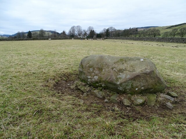
Martyr's Stone, located in Dumfriesshire, Scotland, is a significant heritage site that holds historical and cultural importance. This stone monument is situated near the village of Dunscore, approximately 12 miles northwest of Dumfries. It commemorates the execution of four Covenanters, who were religious dissenters, during the turbulent 17th century.
The Covenanters were individuals who opposed the religious policies imposed by the Scottish government, which sought to control the Presbyterian Church. As a result, they faced persecution and many were executed for their beliefs. Martyr's Stone stands as a reminder of their sacrifice and determination.
The stone itself is a large, roughly hewn boulder, standing about 7 feet tall. It is believed to have been erected in the late 17th century, not long after the execution of the Covenanters. The stone bears a Latin inscription that translates to "Here lye David Halliday, John Halliday, John Graham, and John Lowrie, who suffered martyrdom for their adherence to the word of God and Scotland’s covenanted work of reformation."
The site attracts visitors from all over, who come to pay their respects and learn about this dark period in Scottish history. The surroundings offer a serene and peaceful atmosphere, with sweeping views of the surrounding countryside. The Martyr's Stone serves as a poignant reminder of the struggles endured by those who fought for their religious freedom, making it an important heritage site in Dumfriesshire.
If you have any feedback on the listing, please let us know in the comments section below.
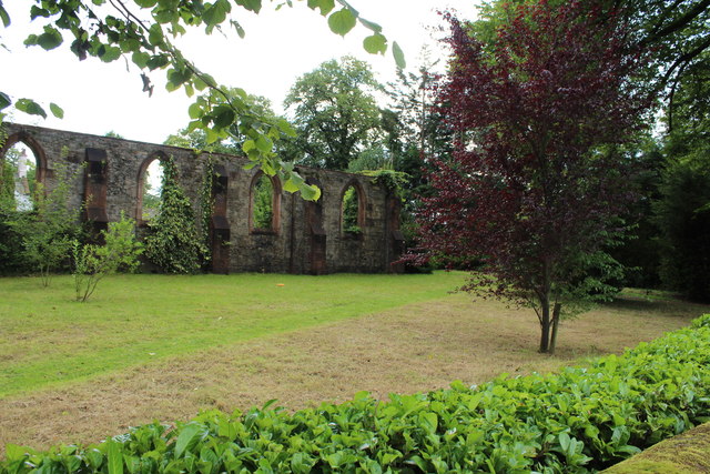
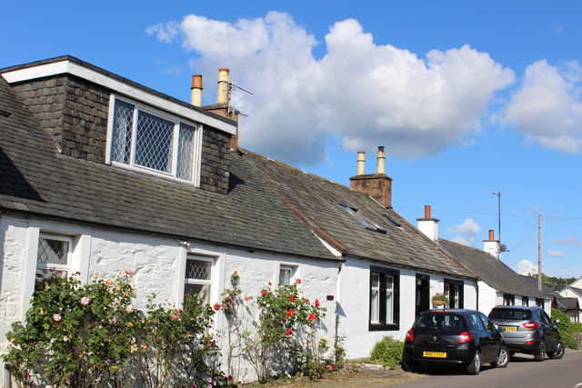
Martyr's Stone Images
Images are sourced within 2km of 55.185/-3.892 or Grid Reference NX7989. Thanks to Geograph Open Source API. All images are credited.


Martyr's Stone is located at Grid Ref: NX7989 (Lat: 55.185, Lng: -3.892)
Unitary Authority: Dumfries and Galloway
Police Authority: Dumfries and Galloway
What 3 Words
///rapport.marmalade.plotter. Near Thornhill, Dumfries & Galloway
Nearby Locations
Related Wikis

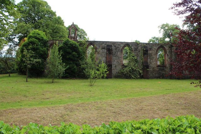
Crawfordton House
Crawfordton House is a category B listed 19th-century country house, situated close to Moniaive in Dumfriesshire, Scotland. It was operated as Crawfordton...

Cademuir International School
Cademuir International School was a specialist school at Moniaive in Dumfries and Galloway, Scotland. The school, founded by Robert Mulvey in 1990, was...
Kirkland railway station
Kirkland railway station (NX810897) was one of the minor stations on the Cairn Valley Light Railway branch, from Dumfries. It served the rural area around...

Glencairn, Dumfries and Galloway
Glencairn is an ecclesiastical and civil parish in Dumfries and Galloway, Scotland. == Location == According to John Bartholomew's 1887 Gazetteer of the...

Moniaive railway station
Moniaive railway station is the closed station terminus of the Cairn Valley Light Railway (CVR) branch, from Dumfries. It served the rural area of Moniaive...

Moniaive
Moniaive ( 'monny-IVE'; Scottish Gaelic: Am Moine Naomh, "The Holy Moor") is a village in the Parish of Glencairn, in Dumfries and Galloway, southwest...

Tynron
Tynron is a village and civil parish in Dumfries and Galloway, south-west Scotland, lying in a hollow of the Shinnel Water, 2 miles (3.2 km) from Moniaive...
Crossford railway station
Crossford is a closed station of the Cairn Valley Light Railway branch, from Dumfries. It served the rural area of Crossford in Dumfries and Galloway...
Nearby Amenities
Located within 500m of 55.185,-3.892Have you been to Martyr's Stone?
Leave your review of Martyr's Stone below (or comments, questions and feedback).