Wigginton

Civil Parish in Yorkshire

England

Wigginton

Towards Wiggington Looking along Sutton Road running from Sutton on the Forest to York's outer ring road.
Towards Wiggington Credit: DS Pugh

Wigginton is a civil parish located in the Ryedale district of North Yorkshire, England. Situated approximately 4 miles northwest of the historic city of York, Wigginton is a small village with a population of around 1,700 residents. It is part of the ecclesiastical parish of Haxby and Wigginton.

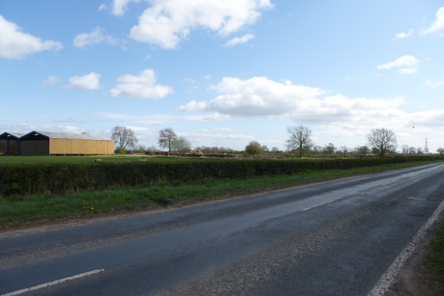
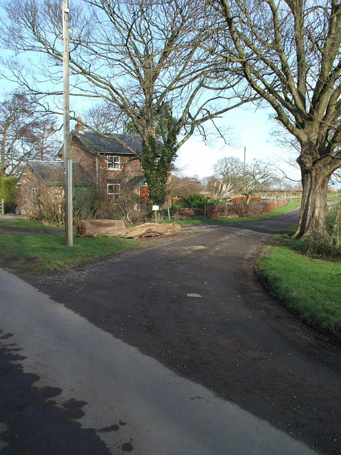
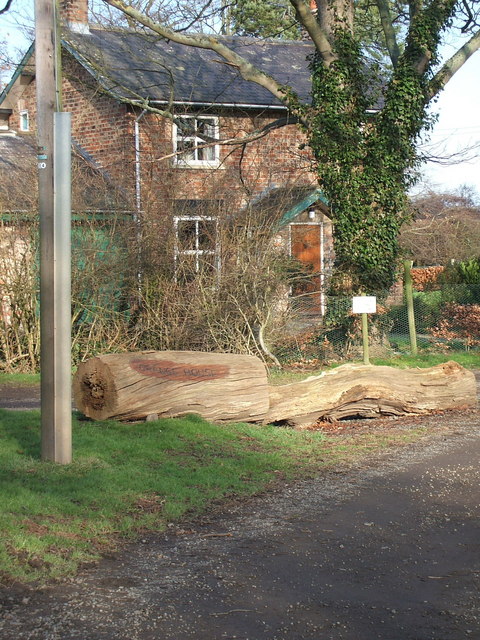
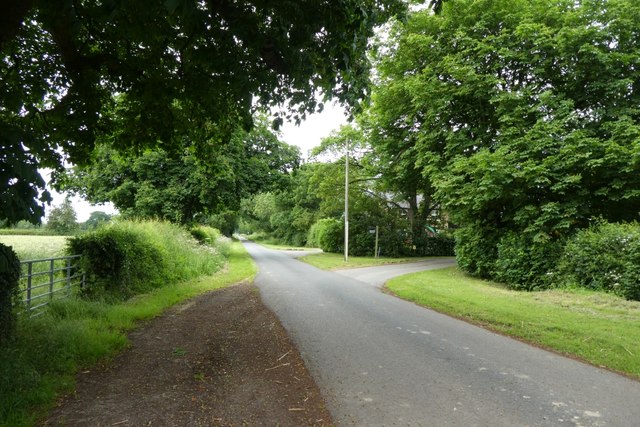
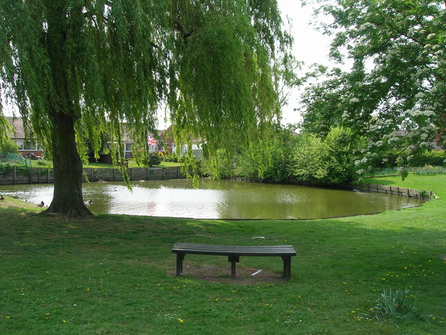
The village is predominantly residential, with a mix of traditional stone-built cottages and modern houses. The surrounding countryside offers picturesque views and a tranquil atmosphere, making it an appealing place for those seeking a peaceful rural lifestyle.

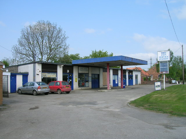
Wigginton has a strong community spirit and is home to several local amenities, including a primary school, village hall, and a few shops and restaurants. The village also has a popular pub, The White Horse, which serves as a social hub for residents and visitors alike.

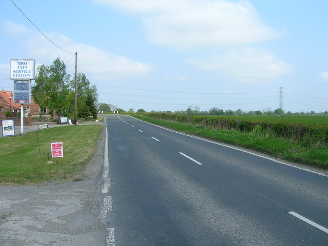
The area is well-connected, with good transport links to nearby towns and cities. The A19 road runs through the village, providing easy access to York and other major routes. Additionally, Wigginton is served by regular bus services, allowing residents to easily travel to surrounding areas.

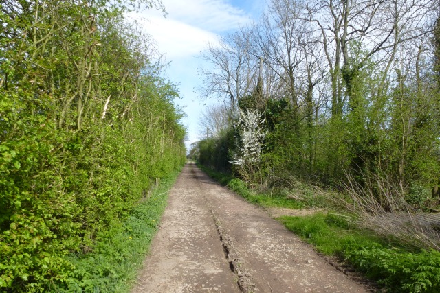
For outdoor enthusiasts, there are several walking and cycling routes in the vicinity, including the nearby Haxby Moor and Wigginton Moor. These areas offer opportunities for leisurely strolls or more challenging hikes, with beautiful views of the countryside.

In summary, Wigginton is a charming village in North Yorkshire, offering a peaceful rural lifestyle, a strong community spirit, and easy access to amenities and transportation.

If you have any feedback on the listing, please let us know in the comments section below.
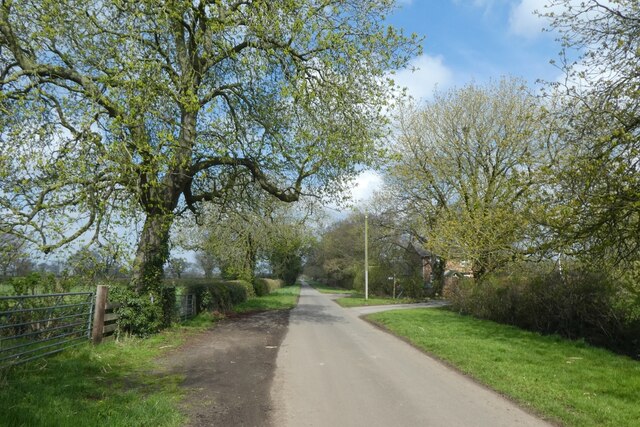
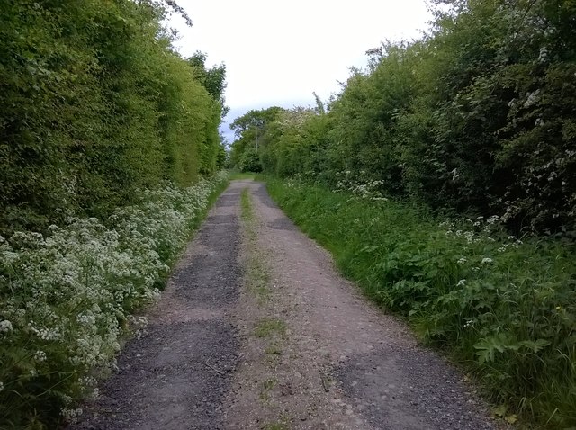
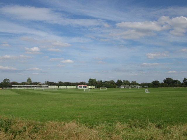
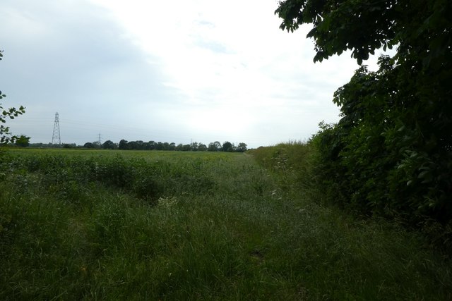
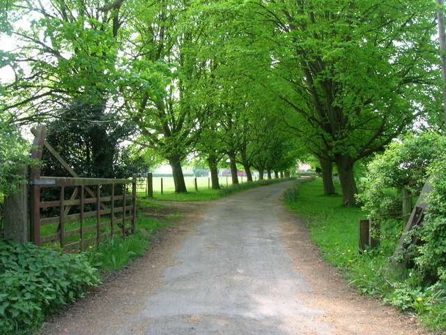
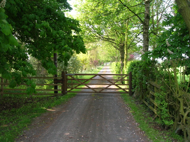
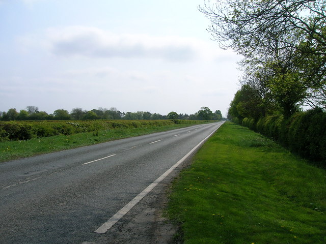
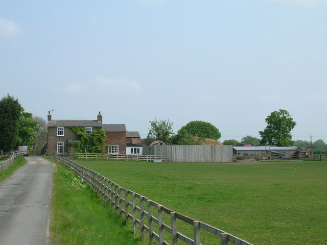
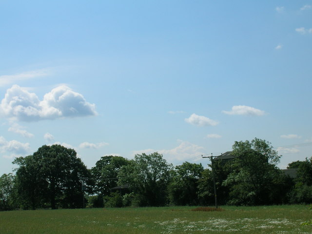
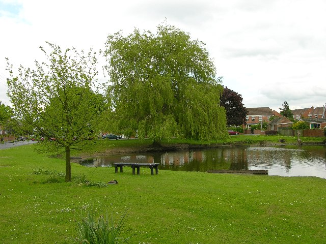
Wigginton Images

Images are sourced within 2km of 54.019199/-1.097726 or Grid Reference SE5958. Thanks to Geograph Open Source API. All images are credited.

Towards Wiggington Looking along Sutton Road running from Sutton on the Forest to York's outer ring road.
Towards Wiggington
Looking along Sutton Road running from Sutton on the Forest to York's outer ring road.
Footpath to Wiggington Leading from Bull Lane.
Footpath to Wiggington
Leading from Bull Lane.
Lane end of Grange House, Moor Lane, Haxby, York
House at the corner of the lane to Grange House, Moor Lane, Haxby Note the sign for Grange House about 250 metres away is written on the horizontal tree trunk
House at the corner of the lane to Grange House, Moor Lane, Haxby
Note the sign for Grange House about 250 metres away is written on the horizontal tree trunk
Moor Lane near Grange Cottage. Moor Lane is a no through road heading north from Haxby to access various properties including Low Grange Farm and Haxby Wood.
Moor Lane near Grange Cottage.
Moor Lane is a no through road heading north from Haxby to access various properties including Low Grange Farm and Haxby Wood.
Near Plainville Farm Footpath near Plainville Farm.
Near Plainville Farm
Footpath near Plainville Farm.
York City Football Club training ground
Field boundary off Moor Lane Looking across farmland near Grange House.
Field boundary off Moor Lane
Looking across farmland near Grange House.
Moor Lane near Grange Farm Looking along Moor Lane, which is a no through road north of Haxby.
Moor Lane near Grange Farm
Looking along Moor Lane, which is a no through road north of Haxby.
Edge of a field Looking across farmland opposite Grange House.
Edge of a field
Looking across farmland opposite Grange House.
Wigginton duck pond
Wigginton duck pond
Service station on Sutton Road (B1363)
Sutton Road (B1363) heading north
Track to Home Farm
Track to Home Farm
Track to Plantation Farm
B1363 heading south
B1363 heading south
Brecks Farm
Brecks Farm
Farmland off Moorlands Lane
Show me another place!

Wigginton is located at Grid Ref: SE5958 (Lat: 54.019199, Lng: -1.097726)

Division: North Riding

Unitary Authority: York

Police Authority: North Yorkshire

What 3 Words

///turkey.consults.stencil. Near Wigginton, North Yorkshire

Related Wikis

Wigginton, North Yorkshire

Wigginton is a village and civil parish in the unitary authority of the City of York in North Yorkshire, England. It is situated 4 miles (6.4 km) north...

Haxby

Haxby is a town and civil parish in the City of York district of North Yorkshire, England. According to the 2001 census the parish had a population of...

Haxby Hall

Haxby Hall was an estate in York Road, village of Haxby, York, England. It was built in 1790 on 22 acres (89,000 m2) of land, and was grade II listed....

Haxby railway station

Haxby railway station was a minor railway station serving the town of Haxby in the City of York, England. Located on the York to Scarborough Line it was...

Nearby Amenities

Located within 500m of 54.019199,-1.097726
Turning Circle
Lat/Long: 54.0174466/-1.0925921
Turning Circle
Lat/Long: 54.017414/-1.0934756
Turning Circle
Lat/Long: 54.0179647/-1.090869
Post Box
Check Date: 2022-02-03
Post Box Type: pillar
Ref: YO32 374
Royal Cypher: EIIR
Royal Cypher Wikidata: Q33102113
Lat/Long: 54.0184092/-1.095191
Ele: 17
Lat/Long: 54.0187076/-1.1043546
Bus Stop
Wigginton Pond
Bench: no
Bin: no
Bus: yes
Departures Board: timetable
Lit: yes
Note: QR code visible
Public Transport: platform
Shelter: no
Website: http://deps.at/?stop=32900770
Lat/Long: 54.0185439/-1.0910949
Bus Stop
Home Farm
Bench: no
Bin: no
Departures Board: timetable
Lit: yes
Shelter: no
Tactile Paving: no
Website: http://deps.at/?stop=32901097
Lat/Long: 54.0187045/-1.0984408
Parking
Access: yes
Description: Patch of gravel
Fee: no
Parking: street_side
Lat/Long: 54.0200177/-1.0989895
Bench
Backrest: yes
Lat/Long: 54.0184652/-1.0951172
Crossing
Crossing: unmarked
Crossing Island: yes
Kerb: lowered
Tactile Paving: no
Lat/Long: 54.0187325/-1.0983376
Cyclescene
Addr City: York
Addr Parentstreet: Sutton Road
Addr Postcode: YO32 2RA
Addr Street: Windmill House Industrial Estate
Addr Suburb: Haxby
Addr Unit: C
Shop: bicycle
Lat/Long: 54.0198832/-1.0976589
Dentist
Wigginton Dental Practice
Addr City: York
Addr Housenumber: 18
Addr Postcode: YO32 2PU
Addr Street: Mill Lane
Addr Suburb: Wigginton
Nhs: yes
Lat/Long: 54.0187548/-1.0902166
Information: guidepost
Tourism: information
Lat/Long: 54.0186451/-1.0984288
Bus Stop
Moor Farm
Bench: no
Bin: no
Departures Board: timetable
Lit: no
Naptan AtcoCode: 3290YYA01095
Naptan NaptanCode: 32901095
Shelter: no
Source: survey
Tactile Paving: no
Website: http://deps.at/?32901095
Lat/Long: 54.0224124/-1.0972929
Bus Stop
Moor Farm
Bench: no
Bin: no
Departures Board: timetable
Lit: yes
Shelter: no
Source: survey
Tactile Paving: no
Website: http://deps.at/?stop=32901096
Lat/Long: 54.0216061/-1.0980081
Tom Taylor ATV
Shop: atv
Wheelchair: yes
Lat/Long: 54.0195359/-1.0978801
Turning Circle
Lat/Long: 54.0169179/-1.0960485
Turning Circle
Lat/Long: 54.017022/-1.097085
Direction Southeast: Wigginton
Guide Type: destination
Guidepost Type: PROW
Information: guidepost
Tourism: information
Lat/Long: 54.023174/-1.0967136
Direction Northwest: Bull Lane
Guide Type: destination
Guidepost Type: PROW
Information: guidepost
Tourism: information
Lat/Long: 54.0232803/-1.0968785
Defibrillator
Access: yes
Defibrillator Location: on the outside wall of John Jeffery Community Pavilion, Wigginton, to the right of the main entrance
Emergency: defibrillator
Indoor: no
Opening Hours: 24/7
Ref GB The Circuit: 2989F44F-5F0F-46F4-90DB-AD4C00EC5EC2
Lat/Long: 54.0207696/-1.0956244
Communication Mobile Phone: yes
Man Made: mast
Operator: EE
Operator Wikidata: Q5322942
Tower Type: communication
Lat/Long: 54.0199917/-1.097352
Bus Stop
Walmer Carr
Bus: yes
Departures Board: timetable
Public Transport: platform
Website: http://deps.at/?stop=32900546
Lat/Long: 54.0171557/-1.0917955
Bus Stop
Mill Lane
Bus: yes
Departures Board: realtime;timetable
Departures Board Speech Output: yes
Note: Buses go westbound from here and around Walmer Carr
Note2: QR code does not scan
Public Transport: platform
Website: http://deps.at/?stop=32900545
Lat/Long: 54.0182942/-1.0938406
Bus Stop
Home Farm
Bus: yes
Physically Present: no
Public Transport: platform
Lat/Long: 54.0187068/-1.0981264
Bicycle Parking
Bicycle Parking: stands
Capacity: 10
Covered: no
Lat/Long: 54.0190597/-1.0954844
Defibrillator
Access: permissive
Defibrillator Location: in Wigginton Squash & Social Club foyer near the guest fee machine
Emergency: defibrillator
Fixme: Please confirm that this exists in the location described. I have not seen the defibrillator - only a sign on the main door saying where it is.
Indoor: yes
Lat/Long: 54.0190862/-1.0955746
Defibrillator
Access: yes
Defibrillator Location: on the outside wall of Wigginton Tennis Club's hut, around the left corner from the entrance door
Emergency: defibrillator
Indoor: no
Opening Hours: 24/7
Lat/Long: 54.0193658/-1.0957125
Entrance: main
Lat/Long: 54.019339/-1.0957247
Entrance: main
Lat/Long: 54.0207646/-1.0957028
The data included in this document is from www.openstreetmap.org. The data is made available under ODbL.

Have you been to Wigginton?

Leave your review of Wigginton below (or comments, questions and feedback).