Weir Dike

Lake, Pool, Pond, Freshwater Marsh in Yorkshire

England

Weir Dike

Towards Wiggington Looking along Sutton Road running from Sutton on the Forest to York's outer ring road.
Towards Wiggington Credit: DS Pugh

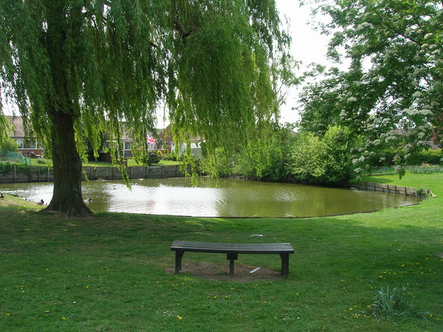
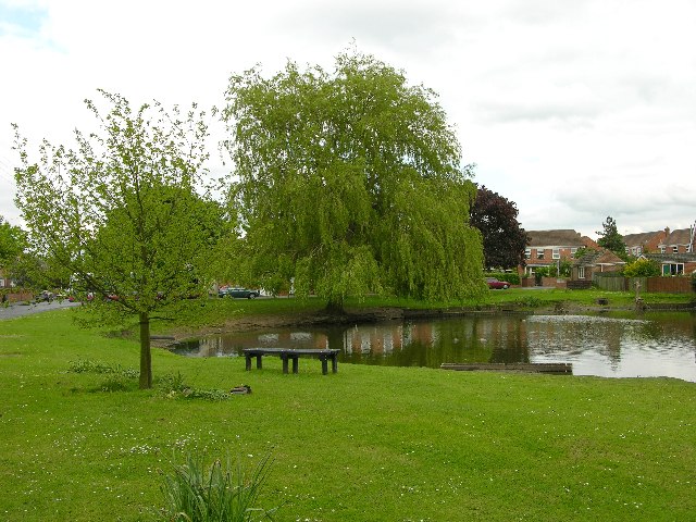
Weir Dike is a freshwater marsh located in Yorkshire, England. It is situated near the village of Weir, hence the name. The dike is a man-made water body, created by constructing a dam across a natural watercourse.

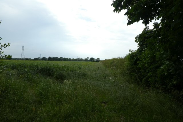
Covering an area of approximately 20 acres, Weir Dike is a haven for various aquatic species and provides an important habitat for wildlife. The water in the dike is primarily sourced from rainfall and local watercourses, ensuring a constant supply of freshwater. The dike is surrounded by lush vegetation, including reeds, grasses, and rushes, which provide shelter and nesting sites for birds and other animals.

The water in Weir Dike is relatively shallow, with an average depth of around 2 meters. This makes it an ideal habitat for a range of aquatic plants and animals, including fish, amphibians, and invertebrates. The dike supports a diverse ecosystem, with species such as common carp, tench, and perch being commonly found in its waters.

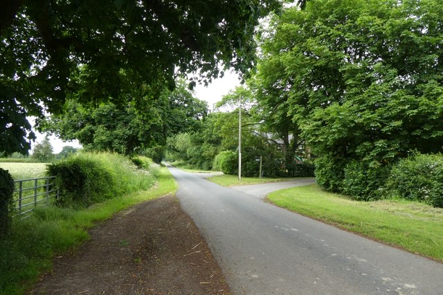
Weir Dike also serves as a recreational area for locals and visitors alike. The calm and serene environment attracts anglers, birdwatchers, and nature enthusiasts who enjoy observing the abundant wildlife. The dike is accessible via footpaths, allowing visitors to explore and appreciate the natural beauty of the area.

Overall, Weir Dike is a picturesque freshwater marsh in Yorkshire, renowned for its diverse ecosystem and its contribution to the local wildlife population. It provides a tranquil setting for both wildlife and humans to coexist and enjoy the beauty of nature.

If you have any feedback on the listing, please let us know in the comments section below.
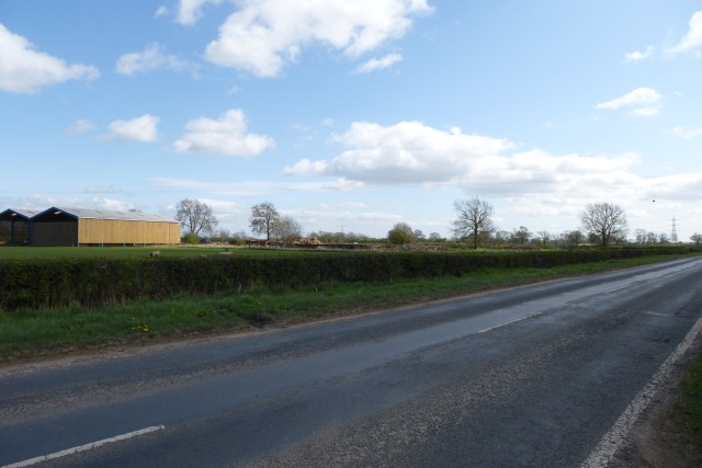
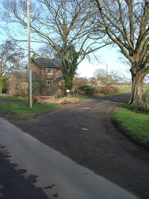
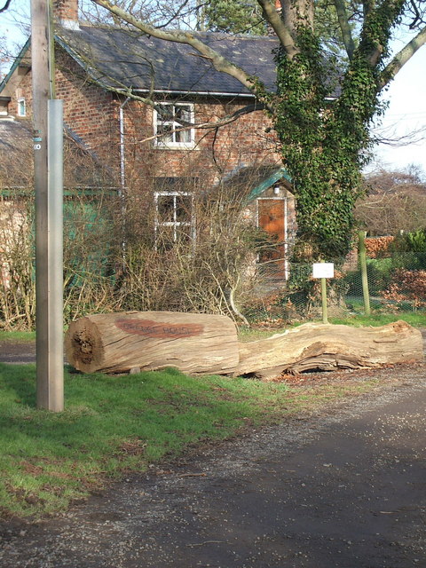
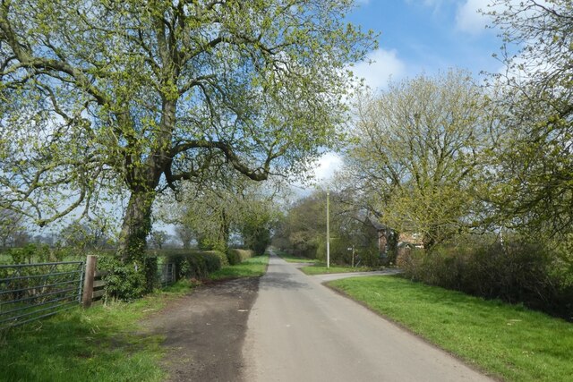
Weir Dike Images

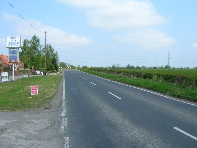
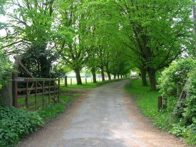
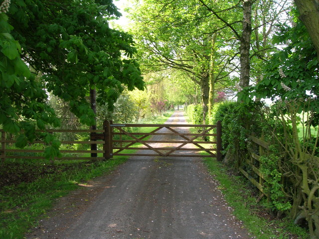
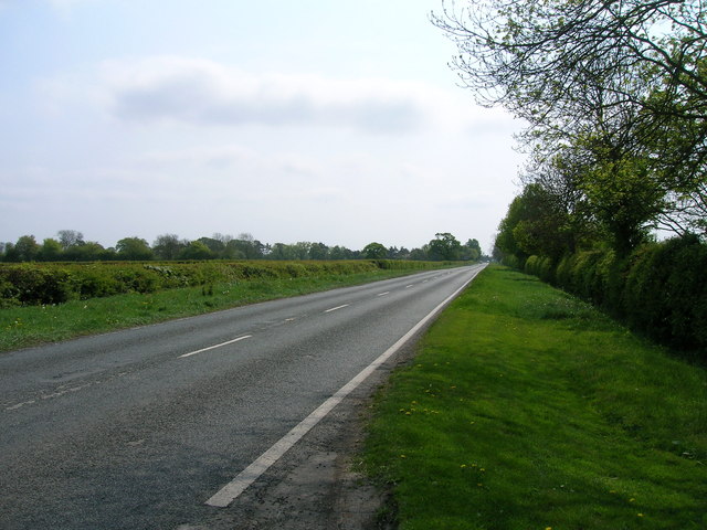
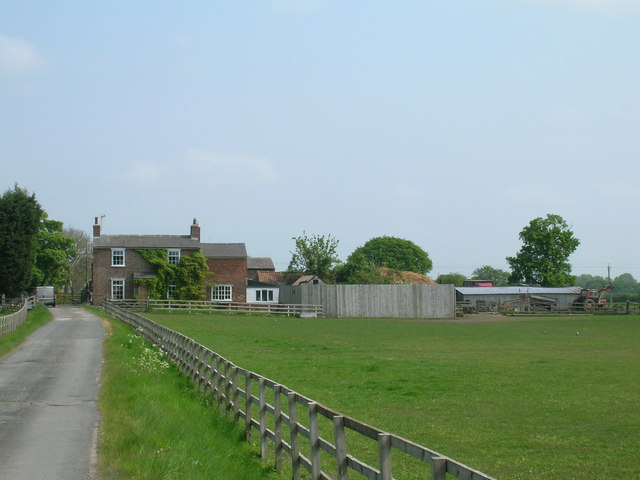
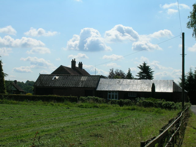
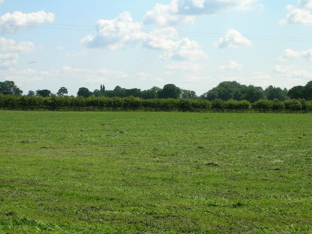
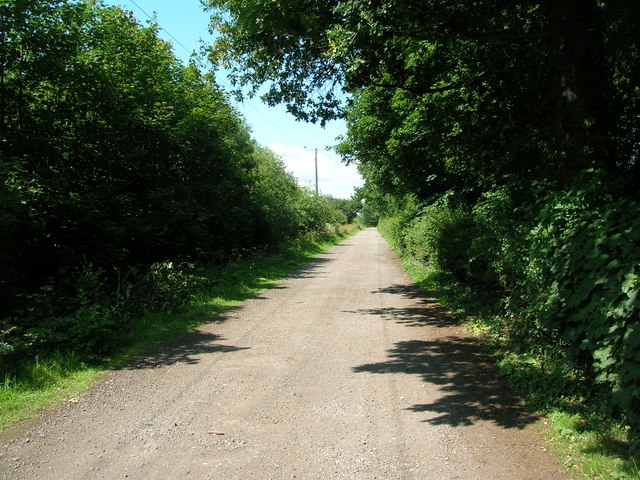
Images are sourced within 2km of 54.018457/-1.0888911 or Grid Reference SE5958. Thanks to Geograph Open Source API. All images are credited.

Towards Wiggington Looking along Sutton Road running from Sutton on the Forest to York's outer ring road.
Towards Wiggington
Looking along Sutton Road running from Sutton on the Forest to York's outer ring road.
Lane end of Grange House, Moor Lane, Haxby, York
House at the corner of the lane to Grange House, Moor Lane, Haxby Note the sign for Grange House about 250 metres away is written on the horizontal tree trunk
House at the corner of the lane to Grange House, Moor Lane, Haxby
Note the sign for Grange House about 250 metres away is written on the horizontal tree trunk
Moor Lane near Grange Cottage. Moor Lane is a no through road heading north from Haxby to access various properties including Low Grange Farm and Haxby Wood.
Moor Lane near Grange Cottage.
Moor Lane is a no through road heading north from Haxby to access various properties including Low Grange Farm and Haxby Wood.
Field boundary off Moor Lane Looking across farmland near Grange House.
Field boundary off Moor Lane
Looking across farmland near Grange House.
Moor Lane near Grange Farm Looking along Moor Lane, which is a no through road north of Haxby.
Moor Lane near Grange Farm
Looking along Moor Lane, which is a no through road north of Haxby.
Edge of a field Looking across farmland opposite Grange House.
Edge of a field
Looking across farmland opposite Grange House.
Wigginton duck pond
Wigginton duck pond
Service station on Sutton Road (B1363)
Sutton Road (B1363) heading north
Track to Home Farm
Track to Home Farm
Track to Plantation Farm
B1363 heading south
B1363 heading south
Brecks Farm
Brecks Farm
Glebe Farm
Glebe Farm
Farmland, Glebe Farm
Moorlands Wood
Moorlands Wood
Track to Moorlands Farm
Show me another place!

Weir Dike is located at Grid Ref: SE5958 (Lat: 54.018457, Lng: -1.0888911)

Division: North Riding

Unitary Authority: York

Police Authority: North Yorkshire

What 3 Words

///courts.reddish.guru. Near Wigginton, North Yorkshire

Related Wikis

Wigginton, North Yorkshire

Wigginton is a village and civil parish in the unitary authority of the City of York in North Yorkshire, England. It is situated 4 miles (6.4 km) north...

Haxby

Haxby is a town and civil parish in the City of York district of North Yorkshire, England. According to the 2001 census the parish had a population of...

Haxby Hall

Haxby Hall was an estate in York Road, village of Haxby, York, England. It was built in 1790 on 22 acres (89,000 m2) of land, and was grade II listed.In...

Haxby railway station

Haxby railway station was a minor railway station serving the town of Haxby in the City of York, England. Located on the York to Scarborough Line it was...

Earswick

Earswick is a village and civil parish in the unitary authority of the City of York in North Yorkshire, England. It lies between Huntington and Strensall...

Joseph Rowntree School

The Joseph Rowntree School is a comprehensive school on Haxby Road in New Earswick in the unitary authority City of York, England. == Admissions == The...

All Saints' Church, Huntington

All Saints' Church lies in Huntington, now a suburb of York, in England. An earlier All Saints' Church was built on the site in the 12th century. It was...

New Earswick

New Earswick is a model village and civil parish in the unitary authority of City of York in North Yorkshire, England, near the River Foss, north of York...
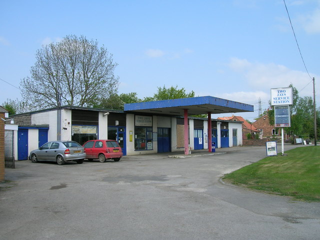
Nearby Amenities

Located within 500m of 54.018457,-1.0888911
Wigginton
Is In: York, England
Note Population: 2001 census
Place: village
Population: 3714
Wikidata: Q1916521
Wikipedia: en:Wigginton, North Yorkshire
Lat/Long: 54.0186196/-1.0900603
Turning Circle
Lat/Long: 54.0159342/-1.0848692
Turning Circle
Lat/Long: 54.0149696/-1.0844024
Turning Circle
Lat/Long: 54.0154258/-1.0849931
Turning Circle
Lat/Long: 54.0168148/-1.0855581
Turning Circle
Lat/Long: 54.0174466/-1.0925921
Turning Circle
Lat/Long: 54.017414/-1.0934756
Turning Circle
Lat/Long: 54.0179647/-1.090869
Post Box
Post Box Type: lamp
Postal Code: YO32 2WY
Ref: YO32 493
Lat/Long: 54.0145155/-1.0861637
Crossing
Crossing: unmarked
Crossing Island: no
Kerb: lowered
Lat/Long: 54.0200207/-1.0889871
Pub
The Black Horse
Addr City: York
Addr Postcode: YO32 2PJ
Addr Street: The Village
Addr Suburb: Haxby
Beer Garden: yes
Food: yes
Indoor Seating: yes
Opening Hours: Mo, Tu, Th-Sa 12:00-14:30, 16:30-20:00
Outdoor Seating: yes
Phone: +44 1904 758473
Real Ale: Black Sheep Bitter, Taylor Boltmaker + 1
Lat/Long: 54.0194477/-1.0861358
Telephone
Defibrillator
Booth: K6
Covered: booth
Defibrillator Location: inside red phone box by Black Horse pub in Wigginton
Emergency: defibrillator
Man Made: telephone_box
Phone: +44 1904 760324
Lat/Long: 54.019421/-1.0857924
Post Box
Post Box Design: type_k
Post Box Type: pillar
Ref: YO32 62
Royal Cypher: EIIR
Royal Cypher Wikidata: Q33102113
Lat/Long: 54.0193895/-1.0857817
Turning Circle
Lat/Long: 54.0155277/-1.0839422
Turning Circle
Lat/Long: 54.0177784/-1.0815123
Turning Circle
Lat/Long: 54.0186765/-1.0826408
Bus Stop
Wigginton Pond
Bench: no
Bin: no
Bus: yes
Departures Board: timetable
Lit: yes
Naptan AtcoCode: 3290YYA00544
Naptan NaptanCode: 32900544
Not Name: Wigginton (Mill Lane)
Note: QR code exists but illegible
Public Transport: platform
Shelter: no
Tactile Paving: yes
Website: http://deps.at/?stop=32900544
Lat/Long: 54.0186273/-1.089448
Bench
Backrest: yes
Ele: 20.5537109
Lat/Long: 54.0195684/-1.0815255
Post Box
Check Date: 2022-02-03
Post Box Type: pillar
Ref: YO32 374
Royal Cypher: EIIR
Royal Cypher Wikidata: Q33102113
Lat/Long: 54.0184092/-1.095191
Bench
Backrest: yes
Ele: 17.9101563
Lat/Long: 54.0185331/-1.0900469
Wigginton Village Stores
Addr City: York
Addr Housenumber: 64
Addr Postcode: YO32 2PS
Addr Street: The Village
Addr Suburb: Wigginton
Ele: 18.3907471
Fhrs Id: 245251
Shop: convenience
Source Addr: FHRS Open Data
Lat/Long: 54.0191082/-1.0877482
Bench
Backrest: no
Lat/Long: 54.0186605/-1.0890288
Bench
Backrest: yes
Lat/Long: 54.0186697/-1.088885
Bench
Backrest: no
Lat/Long: 54.018559/-1.088594
Bus Stop
Westfield Lane
Bench: no
Bus: yes
Departures Board: timetable
Lit: yes
Naptan AtcoCode: 3290YYA00542
Naptan NaptanCode: 32900542
Public Transport: platform
Shelter: yes
Website: http://deps.at/?stop=32900542
Lat/Long: 54.0179641/-1.0880905
Bus Stop
Wigginton Pond
Bench: no
Bin: no
Bus: yes
Departures Board: timetable
Lit: yes
Note: QR code visible
Public Transport: platform
Shelter: no
Website: http://deps.at/?stop=32900770
Lat/Long: 54.0185439/-1.0910949
Bench
Backrest: yes
Lat/Long: 54.018559/-1.0892416
Bench
Backrest: no
Lat/Long: 54.018616/-1.0892178
Bench
Backrest: no
Lat/Long: 54.0186333/-1.0891481
Bus Stop
Black Horse
Bus: yes
Check Date Shelter: 2023-12-26
Departures Board: timetable
Public Transport: platform
Shelter: no
Website: http://deps.at/?stop=32900773
Lat/Long: 54.0192404/-1.0859872
Bus Stop
Black Horse
Bus: yes
Bus Display Name: Black Horse
Departures Board: timetable
Public Transport: platform
Role: platform
Shelter: yes
Website: http://deps.at/?stop=32900563
Lat/Long: 54.019306/-1.0862082
Note: No signage about where public bridleway goes from here
Lat/Long: 54.0187908/-1.0848326
Barrier: bollard
Bollard: fixed
Lat/Long: 54.0181744/-1.0846789
Traffic Calming: cushion
Lat/Long: 54.0183699/-1.0882228
Entrance: yes
Lat/Long: 54.0185034/-1.0851364
Crossing
Crossing: traffic_signals
Crossing Island: no
Crossing Ref: zebra
Kerb: flush
Tactile Paving: yes
Lat/Long: 54.0188748/-1.0882123
Bench
Backrest: yes
Lat/Long: 54.0184652/-1.0951172
Traffic Calming: cushion
Lat/Long: 54.0171092/-1.0875991
Traffic Calming: choker
Lat/Long: 54.0145659/-1.0862611
Traffic Calming: table
Lat/Long: 54.0174743/-1.0877882
Traffic Calming: table
Lat/Long: 54.0179601/-1.0867084
Maxwidth: 2.5
Traffic Calming: choker
Lat/Long: 54.0165211/-1.0873235
Check Date: 2021-11-24
Traffic Calming: cushion
Lat/Long: 54.0178059/-1.0879441
Traffic Calming: cushion
Lat/Long: 54.016141/-1.0871781
Check Date: 2021-11-24
Traffic Calming: cushion
Lat/Long: 54.0179745/-1.0877503
Traffic Calming: cushion
Lat/Long: 54.0156998/-1.0867183
Traffic Calming: cushion
Lat/Long: 54.0149535/-1.0863145
Barrier: cycle_barrier
Cycle Barrier: single
Cycle Barrier Installation: fixed
Lat/Long: 54.0188759/-1.0837614
Noexit: yes
Lat/Long: 54.0189886/-1.0818843
Turning Circle
Lat/Long: 54.0174881/-1.0851773
Entrance: yes
Lat/Long: 54.0192452/-1.0819546
Pharmacy
Haxby Group Pharmacy
Addr City: York
Addr Postcode: YO32 2LL
Addr Street: The Village
Addr Suburb: Wigginton
Dispensing: yes
Indoor: yes
Note: not sure exactly where in the building the pharmamacy is
Lat/Long: 54.019356/-1.0816554
Dentist
Wigginton Dental Practice
Addr City: York
Addr Housenumber: 18
Addr Postcode: YO32 2PU
Addr Street: Mill Lane
Addr Suburb: Wigginton
Nhs: yes
Lat/Long: 54.0187548/-1.0902166
Information: guidepost
Tourism: information
Lat/Long: 54.0157998/-1.0872508
Social Facility
Rosevale Residential Care Home
Addr City: York
Addr Postcode: YO32 2PR
Addr Street: The Village
Addr Suburb: Wigginton
Lat/Long: 54.0191844/-1.0853356
Barrier: bollard
Lat/Long: 54.0200135/-1.0830065
Turning Circle
Lat/Long: 54.0169179/-1.0960485
Turning Circle
Lat/Long: 54.0163507/-1.0842928
Bus Stop
Moor Lane
Bench: yes
Bus: yes
Bus Display Name: Moor Lane
Bus Speech Output Name: Moor Lane
Departures Board: realtime;timetable
Departures Board Speech Output: yes
Lit: yes
Naptan AtcoCode: 3290YYA00562
Naptan NaptanCode: 32900562
Note: A sign says both sides of road, but timetable and display are for the 0562 Eastbound stop only
Public Transport: platform
Shelter: yes
Website: http://deps.at/?stop=32900562
Lat/Long: 54.0200192/-1.0821934
Defibrillator
Access: yes
Defibrillator Location: outside Wigginton Recreational Hall
Emergency: defibrillator
Indoor: no
Lat/Long: 54.0198344/-1.0824855
Advertising: board
Support: wall_mounted
Lat/Long: 54.0198591/-1.0825104
Bus Stop
St Nicholas Way
Departures Board: timetable
Website: http://deps.at/?stop=32900560
Lat/Long: 54.016976/-1.0823585
Bus Stop
Walmer Carr
Bus: yes
Departures Board: timetable
Public Transport: platform
Website: http://deps.at/?stop=32900546
Lat/Long: 54.0171557/-1.0917955
Bus Stop
Mill Lane
Bus: yes
Departures Board: realtime;timetable
Departures Board Speech Output: yes
Note: Buses go westbound from here and around Walmer Carr
Note2: QR code does not scan
Public Transport: platform
Website: http://deps.at/?stop=32900545
Lat/Long: 54.0182942/-1.0938406
Bus Stop
Moor Lane
Bus Display Name: Westfield Road
Bus Speech Output Name: Westfield Road
Departures Board: no
Note: Stop on other side says both sides of road. On-bus name is on Transdev and is an error, but is what is announced/displayed!
Physically Present: no
Lat/Long: 54.019903/-1.0822234
The data included in this document is from www.openstreetmap.org. The data is made available under ODbL.

Have you been to Weir Dike?

Leave your review of Weir Dike below (or comments, questions and feedback).