Wigginton

Civil Parish in Hertfordshire Dacorum

England

Wigginton

New Ground canal bridge 136 The bridge carries Newground Road over the Grand Union Canal.
New Ground canal bridge 136 Credit: Mark Percy

Wigginton is a civil parish located in the county of Hertfordshire, England. Situated about 4 miles northwest of the town of Tring, it is a small rural village with a population of approximately 750 residents. The village is bordered by the Chiltern Hills to the east, providing stunning views and ample opportunities for outdoor activities.

Wigginton has a rich history, dating back to the Domesday Book in 1086. The village is known for its charming cottages, many of which are built with traditional red brick and thatched roofs, giving it a quintessential English countryside feel. The village church, St Bartholomew's, is a Grade II listed building and serves as a focal point for the community.

Despite its small size, Wigginton offers several amenities to its residents. The village has a local pub, The Greyhound, which is a popular spot for locals and visitors alike. There is also a village hall that hosts various community events throughout the year. The nearby town of Tring provides additional amenities, including shops, restaurants, and schools.

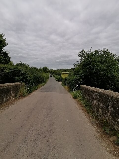
Wigginton is surrounded by beautiful countryside, offering opportunities for walking, cycling, and horse riding. The nearby Tring Reservoirs are a haven for birdwatchers and nature enthusiasts. The village also benefits from its proximity to the Chiltern Hills Area of Outstanding Natural Beauty, which provides stunning scenery and a wealth of recreational activities.

Overall, Wigginton is a picturesque village with a close-knit community and beautiful surroundings, making it an attractive place to live for those seeking a peaceful rural lifestyle.

If you have any feedback on the listing, please let us know in the comments section below.
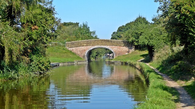
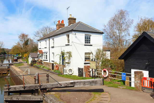
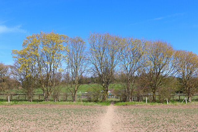
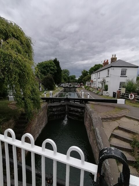
Wigginton Images

Images are sourced within 2km of 51.774877/-0.627736 or Grid Reference SP9409. Thanks to Geograph Open Source API. All images are credited.

New Ground canal bridge 136 The bridge carries Newground Road over the Grand Union Canal.
New Ground canal bridge 136
The bridge carries Newground Road over the Grand Union Canal.
Esso station, Cow Roast On the A4251 (old A41) towards Berkhamsted.
Esso station, Cow Roast
On the A4251 (old A41) towards Berkhamsted.
Cow Roast Lock Houses and canal lock at Cow Roast.
Cow Roast Lock
Houses and canal lock at Cow Roast.
Footpath to Nortcott Court Farm Footpath from the railway bridge.
Footpath to Nortcott Court Farm
Footpath from the railway bridge.
Newground Road bridge 136 (Grand Union Canal)  Bridge 136 carries Newground road over the canal towards Aldbury
Newground Road bridge 136 (Grand Union Canal)
Bridge 136 carries Newground road over the canal towards Aldbury
Wharf Lane bridge 137 (Grand Union Canal) Cow Roast  Bridge 137 carries Wharf Lane road over the canal towards Dudswell
Wharf Lane bridge 137 (Grand Union Canal) Cow Roast
Bridge 137 carries Wharf Lane road over the canal towards Dudswell
Cow Roast lock no 46 (Grand Union Canal) Cow Roast lock 46 on the Grand Union Canal near Berkhamsted and Tring
Cow Roast lock no 46 (Grand Union Canal)
Cow Roast lock 46 on the Grand Union Canal near Berkhamsted and Tring
Newground Road looking towards Aldbury  Newground Road looking towards Aldbury from bridge 136
Newground Road looking towards Aldbury
Newground Road looking towards Aldbury from bridge 136
Wigginton - St Bartholomew - View from gate Taken from just inside the gateway that leads via a trimmed yew lined path to the church of St Bartholomew in the village of Wigginton. The church dates largely from the late C13th and is EH Grade II* listed.
See also <a href="https://www.geograph.org.uk/photo/7453032">SP9410 : Wigginton - St Bartholomew - from south-west</a>
See shared description:
Wigginton - St Bartholomew - View from gate
Taken from just inside the gateway that leads via a trimmed yew lined path to the church of St Bartholomew in the village of Wigginton. The church dates largely from the late C13th and is EH Grade II* listed. See also SP9410 : Wigginton - St Bartholomew - from south-west See shared description:
Wigginton - St Bartholomew - from south-west A view of <a href="https://www.geograph.org.uk/photo/7453030">SP9410 : Wigginton - St Bartholomew - View from gate</a> taken from near to the bench in <a href="https://www.geograph.org.uk/photo/7453033">SP9410 : Wigginton - St Bartholomew - Bench and flagpole</a>
Wigginton - St Bartholomew - from south-west
Wigginton - St Bartholomew - Bench and flagpole In the southwestern corner of the churchyard of St Bartholomew, Wigginton is this striking, modern metal bench and behind it a flagpole flying St George's Cross.
Wigginton - St Bartholomew - Bench and flagpole
In the southwestern corner of the churchyard of St Bartholomew, Wigginton is this striking, modern metal bench and behind it a flagpole flying St George's Cross.
Wigginton - St Bartholomew - Bellcote This little bellcote with square wooden frame and red-tiled pyramidal roof was added to the western end of the nave in 1881 by R.J.Withers.
Wigginton - St Bartholomew - Bellcote
This little bellcote with square wooden frame and red-tiled pyramidal roof was added to the western end of the nave in 1881 by R.J.Withers.
Wigginton - St Bartholomew - nave looking eastwards Looking along the nave of St Bartholomew, Wigginton to its chancel and altar through the chancel arch. These parts of the church date from the C13th. Each centre-aisle end of the pews in the nave has a pole surmounted by a glass-encased candle.
Cf. <a href="https://www.geograph.org.uk/photo/7453037">SP9410 : Wigginton - St Bartholomew - nave looking westwards</a>
Wigginton - St Bartholomew - nave looking eastwards
Looking along the nave of St Bartholomew, Wigginton to its chancel and altar through the chancel arch. These parts of the church date from the C13th. Each centre-aisle end of the pews in the nave has a pole surmounted by a glass-encased candle. Cf. SP9410 : Wigginton - St Bartholomew - nave looking westwards
Wigginton - St Bartholomew - nave looking westwards Looking westwards along the nave of St Bartholomew, Wigginton taken from the chancel. Beyond the far arch, what is now effectively a continuation of the nave westwards was originally a Chantry Chapel for the Weedon family added to the church in the C15th.
Cf. <a href="https://www.geograph.org.uk/photo/7453036">SP9410 : Wigginton - St Bartholomew - nave looking eastwards</a>
Wigginton - St Bartholomew - nave looking westwards
Looking westwards along the nave of St Bartholomew, Wigginton taken from the chancel. Beyond the far arch, what is now effectively a continuation of the nave westwards was originally a Chantry Chapel for the Weedon family added to the church in the C15th. Cf. SP9410 : Wigginton - St Bartholomew - nave looking eastwards
Wigginton - St Bartholomew - Altar and East Window The altar and East Window of St Bartholomew, Wigginton in the chancel of this little church which dates from the C13th.
Wigginton - St Bartholomew - Altar and East Window
The altar and East Window of St Bartholomew, Wigginton in the chancel of this little church which dates from the C13th.
Wigginton - St Bartholomew - Font in former Chantry Chapel The font in St Bartholomew's church in Wigginton is (as is usual) positioned towards the western end of the church, but in this case within a former chantry chapel which was added to the western end of the nave in the C15th by the Weedon family. The font is adorned with lilies for Easter.
Wigginton - St Bartholomew - Font in former Chantry Chapel
The font in St Bartholomew's church in Wigginton is (as is usual) positioned towards the western end of the church, but in this case within a former chantry chapel which was added to the western end of the nave in the C15th by the Weedon family. The font is adorned with lilies for Easter.
Wigginton - St Bartholomew - North aisle Looking eastwards along the north aisle of St Bartholomew, Wigginton. This aisle was added 1857-61 by William White.
Wigginton - St Bartholomew - North aisle
Looking eastwards along the north aisle of St Bartholomew, Wigginton. This aisle was added 1857-61 by William White.
Wigginton - St Bartholomew - Angelic saints window The two saints depicted here are two of the four* named archangels, St Michael and St Uriel (the other two being Gabriel and Raphael, see John's <a href="https://www.geograph.org.uk/photo/5055134">SP9410 : St Bartholomew, Wigginton - Stained glass window</a>) - the stained glass is Victorian and is to be found in the southern wall of the chancel of St Bartholomew, Wigginton.

*The number and names of the archangels is somewhat disputed depending which books of the bible are considered canonical and which apocryphal - or excluded entirely. Most (but not all) texts agree that there are seven archangels, but by no means are all of them named. Gabriel and Michael are both (pretty much) universally accepted. Raphael appears in the apocryphal Book of Tobit and Uriel in the similarly apocryphal Second Book of Esdras. Other named archangels occasionally mentioned include Phanuel and Sabrael - both of whom may be other names for Uriel.
Wigginton - St Bartholomew - Angelic saints window
The two saints depicted here are two of the four* named archangels, St Michael and St Uriel (the other two being Gabriel and Raphael, see John's SP9410 : St Bartholomew, Wigginton - Stained glass window) - the stained glass is Victorian and is to be found in the southern wall of the chancel of St Bartholomew, Wigginton. *The number and names of the archangels is somewhat disputed depending which books of the bible are considered canonical and which apocryphal - or excluded entirely. Most (but not all) texts agree that there are seven archangels, but by no means are all of them named. Gabriel and Michael are both (pretty much) universally accepted. Raphael appears in the apocryphal Book of Tobit and Uriel in the similarly apocryphal Second Book of Esdras. Other named archangels occasionally mentioned include Phanuel and Sabrael - both of whom may be other names for Uriel.
Show me another place!

Wigginton is located at Grid Ref: SP9409 (Lat: 51.774877, Lng: -0.627736)

Administrative County: Hertfordshire

District: Dacorum

Police Authority: Hertfordshire

What 3 Words

///similar.budgeted.goose. Near Tring, Hertfordshire

Related Wikis

Champneys

Champneys is an English country house and its associated estate near Tring, Hertfordshire. The mansion is run as a destination spa by a business using...

Wigginton, Hertfordshire

Wigginton (Wigentone - 1086) is a large village and civil parish running north–south and perched at 730 ft (220 m) on the edge of the Chiltern Hills and...

Cow Roast

Cow Roast (sometimes written as Cowroast) is a hamlet within the civil parishes of Northchurch and Wigginton in Hertfordshire, England. It is between Tring...

Dudswell, Hertfordshire

Dudswell is a hamlet in South West Hertfordshire, England, between the towns of Tring and Berkhamsted. It is 2 miles (3.2 km) north-west of Berkhamsted...

Nearby Amenities

Located within 500m of 51.774877,-0.627736
Colour: white
Marker: post
Material: concrete
Utility: oil
Lat/Long: 51.7748152/-0.6304983
Colour: white
Marker: post
Material: concrete
Utility: oil
Lat/Long: 51.7747917/-0.6304374
The data included in this document is from www.openstreetmap.org. The data is made available under ODbL.

Have you been to Wigginton?

Leave your review of Wigginton below (or comments, questions and feedback).