Wigginton and Hopwas

Civil Parish in Staffordshire Lichfield

England

Wigginton and Hopwas

St Leonard's Church  (1) The above photograph shows the Lychgate, which is the main entrance to the Graveyard and Church.
St Leonard's Church (1) Credit: Chris' Buet

Wigginton and Hopwas is a civil parish located in the county of Staffordshire, England. Situated approximately 4 miles northeast of Tamworth, the parish covers an area of around 8 square kilometers.

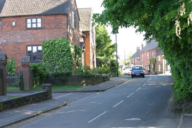
Wigginton is a picturesque village within the parish, known for its rural charm and scenic landscapes. The village is predominantly residential, with a small number of local amenities including a village hall and a primary school. The architecture in Wigginton is a mix of traditional and modern styles, with some older buildings dating back several centuries.

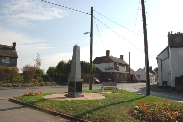
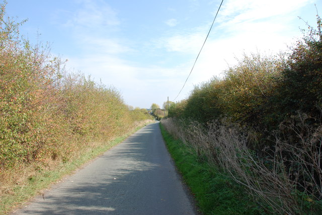
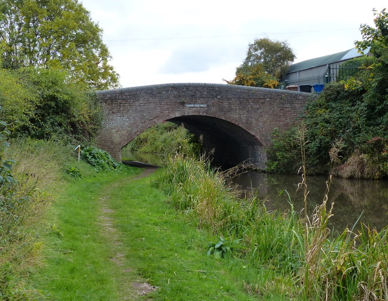
Hopwas, on the other hand, is a hamlet located to the south of Wigginton. It is home to Hopwas Woods, a large forested area popular with walkers, cyclists, and nature enthusiasts. The woods offer a variety of trails and paths, giving visitors the opportunity to explore the natural beauty of the area. Hopwas also has a pub, which serves as a popular meeting point for locals and visitors alike.

Both Wigginton and Hopwas benefit from their proximity to the larger town of Tamworth, which provides access to a wider range of amenities including shops, supermarkets, and leisure facilities. The area is well-connected by road, with the A5 running nearby, providing easy access to neighboring towns and cities.

Overall, Wigginton and Hopwas offer a tranquil and picturesque setting, with a strong sense of community and a range of outdoor activities to enjoy.

If you have any feedback on the listing, please let us know in the comments section below.

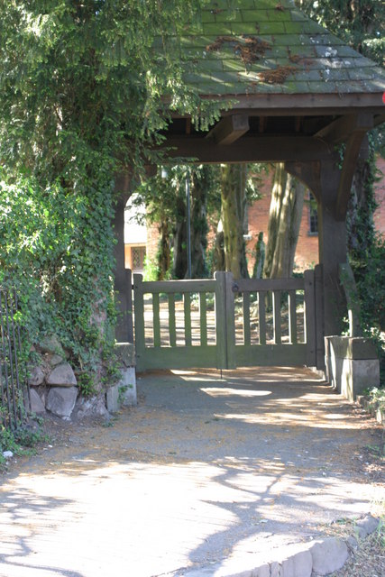
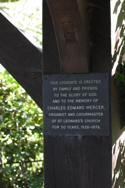
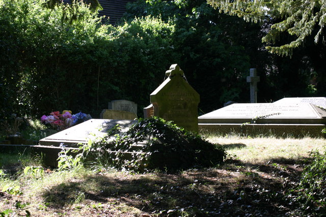
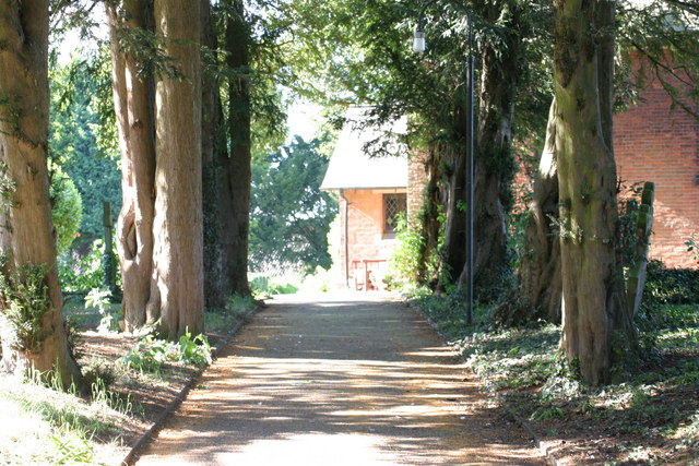
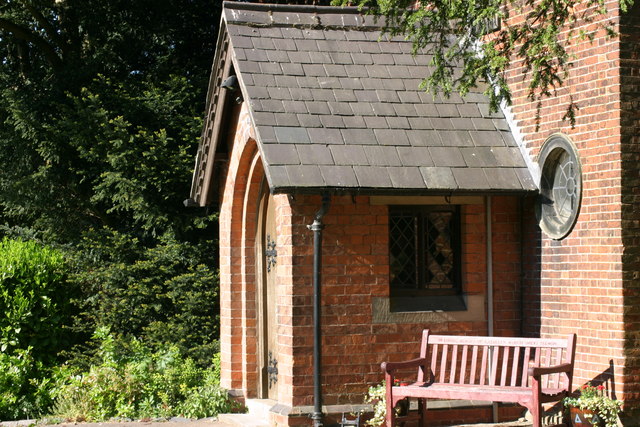
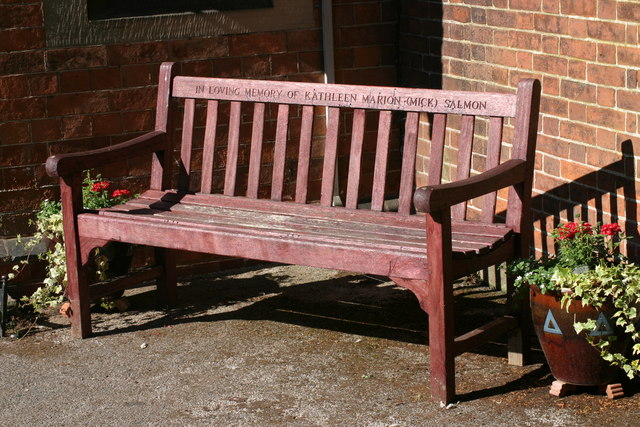
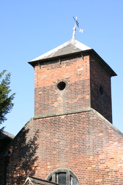
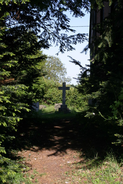
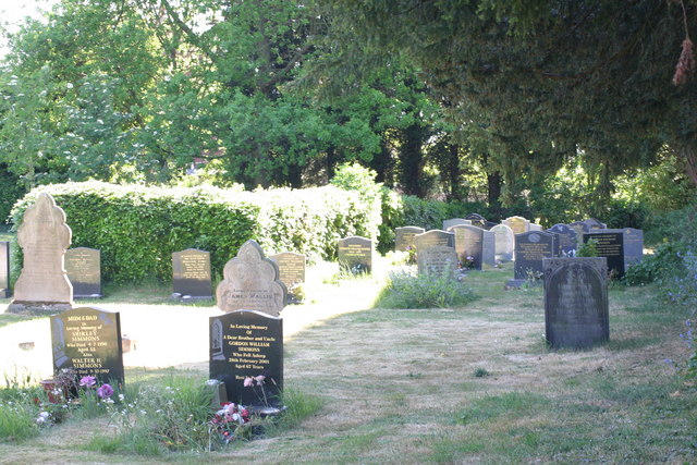
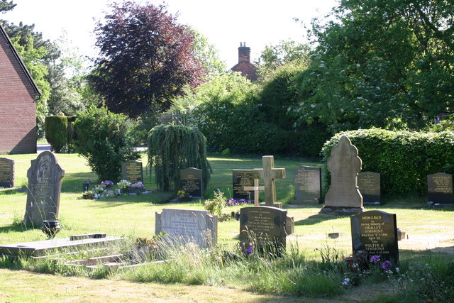
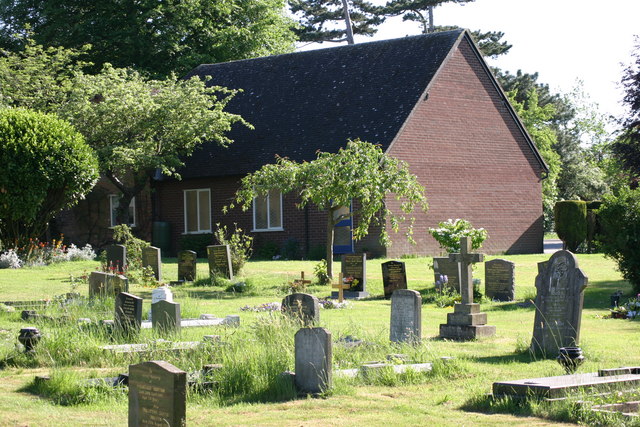
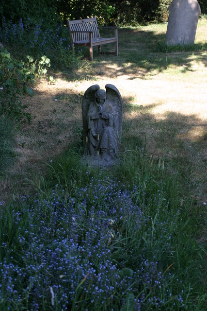
Wigginton and Hopwas Images

Images are sourced within 2km of 52.658736/-1.71556 or Grid Reference SK1906. Thanks to Geograph Open Source API. All images are credited.

St Leonard's Church  (1) The above photograph shows the Lychgate, which is the main entrance to the Graveyard and Church.
St Leonard's Church (1)
The above photograph shows the Lychgate, which is the main entrance to the Graveyard and Church.
St Leonard's Church  (2) The plaque in the above photograph is attached to the Lychgate in this photograph <a href="https://www.geograph.org.uk/photo/2393376">SK2006 : St Leonard's Church  (1)</a>
St Leonard's Church (2)
The plaque in the above photograph is attached to the Lychgate in this photograph SK2006 : St Leonard's Church (1)
St Leonard's  Church  (3) This photograph <a href="https://www.geograph.org.uk/photo/2393376">SK2006 : St Leonard's Church  (1)</a> shows the Lychgate, which is the main entrance to the Graveyard shown in the above photograph.
St Leonard's Church (3)
This photograph SK2006 : St Leonard's Church (1) shows the Lychgate, which is the main entrance to the Graveyard shown in the above photograph.
St Leonards  Church  (4) The path in the above photograph leads from the Lychgated entrance up to the Church. This photograph shows <a href="https://www.geograph.org.uk/photo/2393376">SK2006 : St Leonard's Church  (1)</a> a view of that Lychgate.
St Leonards Church (4)
The path in the above photograph leads from the Lychgated entrance up to the Church. This photograph shows SK2006 : St Leonard's Church (1) a view of that Lychgate.
St Leonard's Church  (5) The above photograph shows the church's main entrance. This photograph <a href="https://www.geograph.org.uk/photo/2393417">SK2006 : St Leonard's  Church  (3)</a> shows a view of this church's graveyard.
St Leonard's Church (5)
The above photograph shows the church's main entrance. This photograph SK2006 : St Leonard's Church (3) shows a view of this church's graveyard.
St Leonard's  Church  (6) The above photograph shows a memorial bench located outside the Church entrance, which can be seen in this photograph <a href="https://www.geograph.org.uk/photo/2393473">SK2006 : St Leonard's Church  (5)</a>.
St Leonard's Church (6)
The above photograph shows a memorial bench located outside the Church entrance, which can be seen in this photograph SK2006 : St Leonard's Church (5).
St Leonards Church  (7) The above photograph shows the Church Tower. This photograph <a href="https://www.geograph.org.uk/photo/2393376">SK2006 : St Leonard's Church  (1)</a> shows a view of this Churches Lychgate.
St Leonards Church (7)
The above photograph shows the Church Tower. This photograph SK2006 : St Leonard's Church (1) shows a view of this Churches Lychgate.
St Leonards Church  (8) The above photograph shows a view of this Churches Graveyard. This photograph <a href="https://www.geograph.org.uk/photo/2393473">SK2006 : St Leonard's Church  (5)</a> shows a view of this Church.
St Leonards Church (8)
The above photograph shows a view of this Churches Graveyard. This photograph SK2006 : St Leonard's Church (5) shows a view of this Church.
St Leonards Church  (9) This photograph <a href="https://www.geograph.org.uk/photo/2393417">SK2006 : St Leonard's  Church  (3)</a> shows another view of this Graveyard.
St Leonards Church (9)
This photograph SK2006 : St Leonard's Church (3) shows another view of this Graveyard.
St Leonards Church  (10) This photograph <a href="https://www.geograph.org.uk/photo/2393441">SK2006 : St Leonards  Church  (4)</a> shows a path located within the Graveyard shown in the photograph above.
St Leonards Church (10)
This photograph SK2006 : St Leonards Church (4) shows a path located within the Graveyard shown in the photograph above.
St Leonards Church  (11) This photograph <a href="https://www.geograph.org.uk/photo/2412066">SK2006 : St Leonards Church  (8)</a> shows another view of this Graveyard.
St Leonards Church (11)
This photograph SK2006 : St Leonards Church (8) shows another view of this Graveyard.
St Leonards Church  (12) The above photograph <a href="https://www.geograph.org.uk/photo/2412090">SK2006 : St Leonards Church  (10)</a> shows a Stone Angel, located at a Grave. This photograph shows another view of this Graveyard.
St Leonards Church (12)
The above photograph SK2006 : St Leonards Church (10) shows a Stone Angel, located at a Grave. This photograph shows another view of this Graveyard.
Main Street The above photograph shows a view of Main Street, which is located next to St Leonard's Church, which is located out of view just to the right hand side of the above photograph. This photograph <a href="https://www.geograph.org.uk/photo/2393376">SK2006 : St Leonard's Church  (1)</a> shows a view of the Lychgate which is located next to the above stretch of road.
Main Street
The above photograph shows a view of Main Street, which is located next to St Leonard's Church, which is located out of view just to the right hand side of the above photograph. This photograph SK2006 : St Leonard's Church (1) shows a view of the Lychgate which is located next to the above stretch of road.
Obelisk on the Green, Wigginton This is where the Comberford lane meets the main road in Wigginton, with the Old Crown pub in the background.
Obelisk on the Green, Wigginton
This is where the Comberford lane meets the main road in Wigginton, with the Old Crown pub in the background.
Syerscote Lane, Wigginton This lane is a single track, covering seven squares on the OS map, it also has gates in places, so be prepared to have to turn back. I was lucky. The bridge over the railway is in the distance on this photo.
Syerscote Lane, Wigginton
This lane is a single track, covering seven squares on the OS map, it also has gates in places, so be prepared to have to turn back. I was lucky. The bridge over the railway is in the distance on this photo.
Freshly ploughed field with straw stack behind
Across ploughed field to Wigginton Fields on Portway Lane
Barn Conversions at Wigginton Fields Farm
Show me another place!

Wigginton and Hopwas is located at Grid Ref: SK1906 (Lat: 52.658736, Lng: -1.71556)

Administrative County: Staffordshire

District: Lichfield

Police Authority: Staffordshire

What 3 Words

///riverbed.entrust.tens. Near Tamworth, Staffordshire

Nearby Locations

Wigginton and Hopwas

Related Wikis

Comberford

Comberford is a small settlement in Staffordshire, England. It lies by the River Tame, about 4 kilometres (2 mi) north-east of Tamworth along the A513...

Wigginton and Hopwas

Wigginton and Hopwas is a civil parish in Lichfield District, Staffordshire, England. The villages of Wigginton and Hopwas, that make up the parish, lie...

The Rawlett School

The Rawlett School is a secondary school with academy status located on the outskirts of Tamworth, a market town in Staffordshire, England. It was previously...

Fisherwick

Fisherwick is a civil parish in Lichfield District, Staffordshire, England. Located about 4 miles (6 km) east of the City of Lichfield, the parish does...

Nearby Amenities

Located within 500m of 52.658736,-1.71556
Bus Stop
Comberford Turn
Bus: yes
Naptan AtcoCode: 3800C400800
Naptan Bearing: S
Naptan CommonName: Comberford Turn
Naptan Indicator: Adj
Naptan Landmark: Comberford Turn
Naptan Street: Tollgate Lane
Naptan Verified: no
Public Transport: platform
Source: naptan_import
Lat/Long: 52.6621598/-1.712951
Comberford Turn
Naptan AtcoCode: 3800C400801
Naptan Bearing: N
Naptan BusStopType: CUS
Naptan CommonName: Comberford Turn
Naptan Indicator: Adj
Naptan Landmark: Comberford Turn
Naptan Street: Tollgate Lane
Naptan Verified: no
Source: naptan_import
Lat/Long: 52.6623312/-1.7131717
The data included in this document is from www.openstreetmap.org. The data is made available under ODbL.

Have you been to Wigginton and Hopwas?

Leave your review of Wigginton and Hopwas below (or comments, questions and feedback).