Whalley
Civil Parish in Lancashire Ribble Valley
England
Whalley
Whalley is a civil parish located in the Ribble Valley district of Lancashire, England. It is situated approximately 8 miles north of Blackburn and 20 miles east of Preston. The parish covers an area of about 5.5 square miles and has a population of around 3,500 people.
Whalley is known for its rich history, with evidence of human settlement in the area dating back to the Bronze Age. Throughout the centuries, the parish has been a hub of activity, particularly due to its location on the banks of the River Calder. It was an important market town during the medieval period and later became a center for the textile industry in the 18th and 19th centuries.
Today, Whalley retains its charming character and is a popular destination for visitors. The village is home to several historic buildings, including the 14th-century Whalley Abbey, which was once a Cistercian monastery. The village also has a range of independent shops, cafes, and restaurants, as well as a weekly market.
The surrounding countryside offers stunning natural beauty, with the picturesque Ribble Valley providing ample opportunities for outdoor activities such as walking, cycling, and fishing. The area is also home to the popular Whalley Golf Club.
In summary, Whalley is a delightful civil parish in Lancashire, boasting a rich history, beautiful surroundings, and a welcoming community.
If you have any feedback on the listing, please let us know in the comments section below.
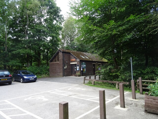
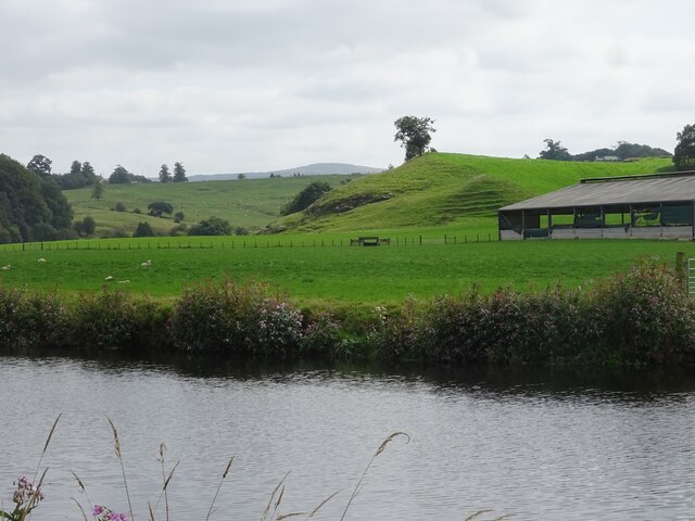
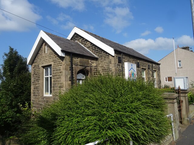
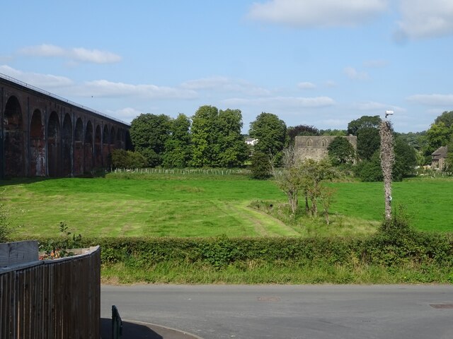
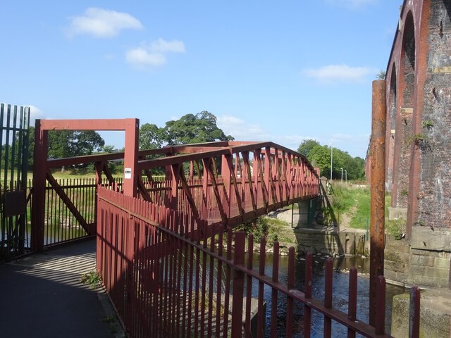
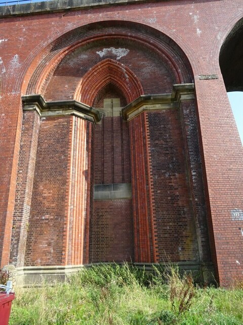
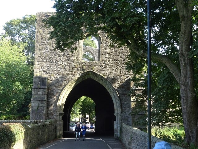
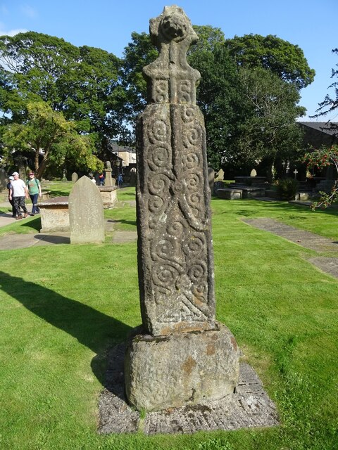
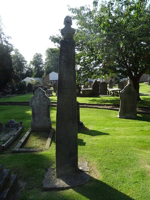
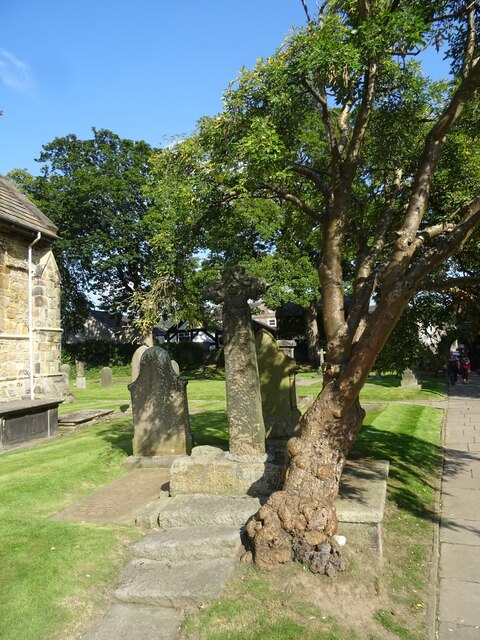
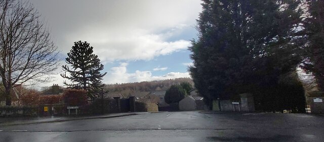
Whalley Images
Images are sourced within 2km of 53.822602/-2.402088 or Grid Reference SD7336. Thanks to Geograph Open Source API. All images are credited.


Whalley is located at Grid Ref: SD7336 (Lat: 53.822602, Lng: -2.402088)
Administrative County: Lancashire
District: Ribble Valley
Police Authority: Lancashire
What 3 Words
///chromatic.weeknight.fetching. Near Whalley, Lancashire
Nearby Locations
Related Wikis

Whalley, Lancashire
Whalley is a large village and civil parish in the Ribble Valley on the banks of the River Calder in Lancashire, England. It is overlooked by Whalley...

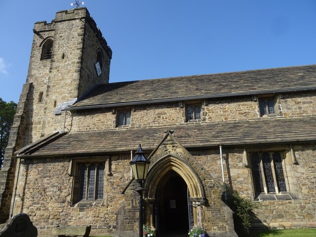
Church of St Mary and All Saints, Whalley
The Church of St Mary and All Saints is an Anglican church in the village of Whalley, Lancashire, England. It is an active parish church in the Diocese...

Oakhill School, Whalley
Oakhill School is a coeducational private Roman Catholic school, situated in the village of Whalley (near the town of Clitheroe) in rural Lancashire, England...

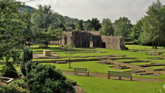
Whalley Abbey
Whalley Abbey is a former Cistercian abbey in Whalley, Lancashire, England. After the dissolution of the monasteries, the abbey was largely demolished...
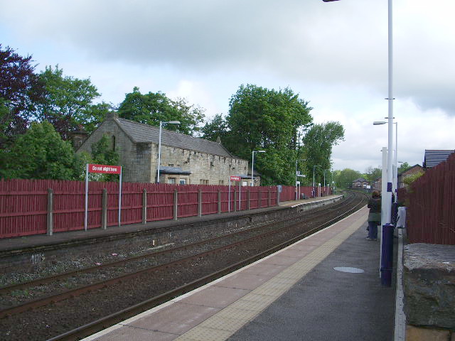
Whalley railway station
Whalley railway station serves the village of Whalley in Lancashire, England. The station lies on the Ribble Valley Line 7+1⁄4 miles (11.7 km) north of...
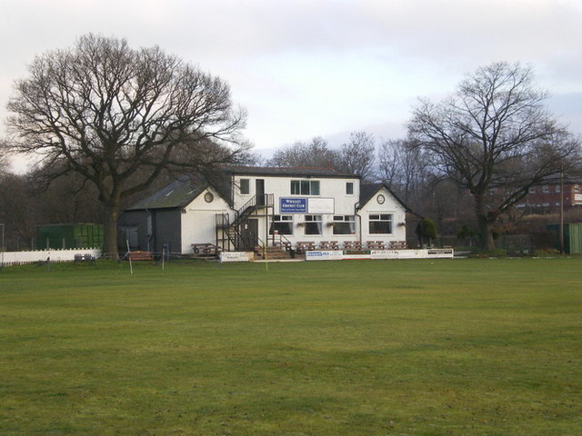
Station Road Ground
Station Road Ground is a cricket ground located off Station Road in Whalley, Lancashire. The ground is bordered to the north and west by other sports fields...

Portfield Hillfort
Portfield also known as Planes Wood Camp is a late Bronze Age or Iron Age hillfort situated close to the town of Whalley in Lancashire, Northern England...

Calderstones Hospital
Calderstones Hospital is a mental health facility near to Whalley, Lancashire, England. It is managed by Mersey Care NHS Foundation Trust. == History... ==
Nearby Amenities
Located within 500m of 53.822602,-2.402088Have you been to Whalley?
Leave your review of Whalley below (or comments, questions and feedback).