Whaley Bridge
Civil Parish in Cheshire High Peak
England
Whaley Bridge
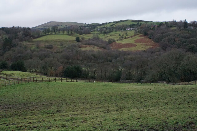
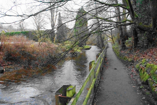
Whaley Bridge is a civil parish located in the county of Cheshire, England. Situated in the High Peak district, it lies on the western edge of the Peak District National Park. The town is surrounded by picturesque countryside and is nestled in the valley of the River Goyt.
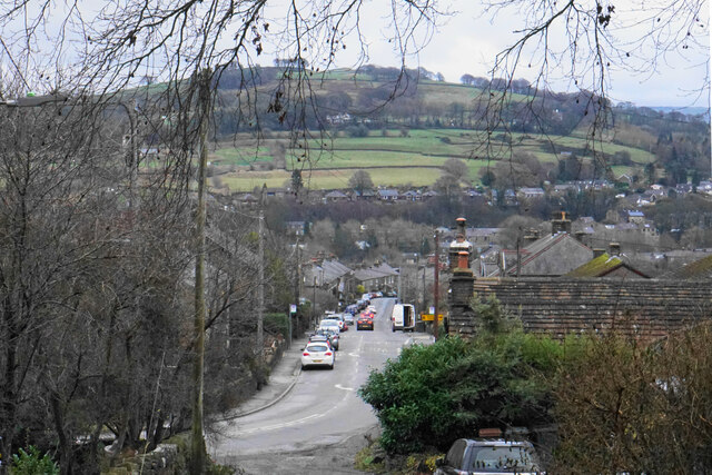
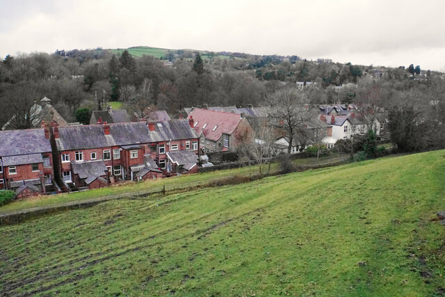
Whaley Bridge is known for its charming and quintessentially English village feel. It is home to a population of approximately 6,500 residents. The town has a rich history dating back to the 19th century, when it developed as a center for the limestone and coal mining industries. Today, remnants of its industrial past can still be seen in the form of old mill buildings and railway structures.
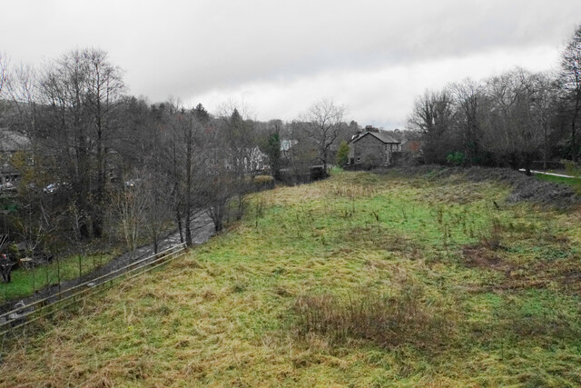
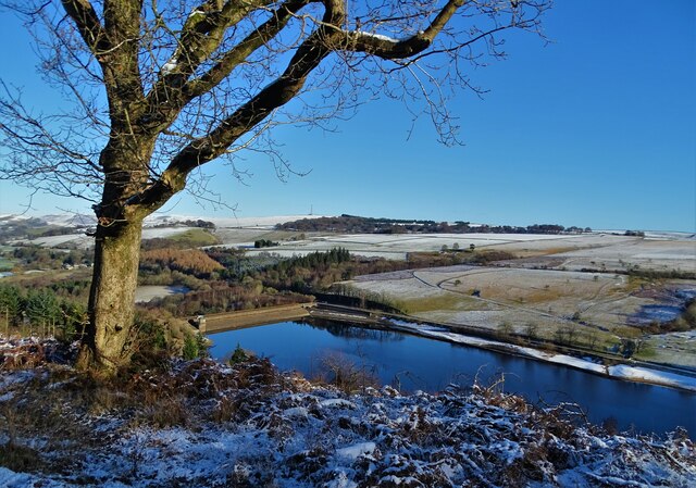
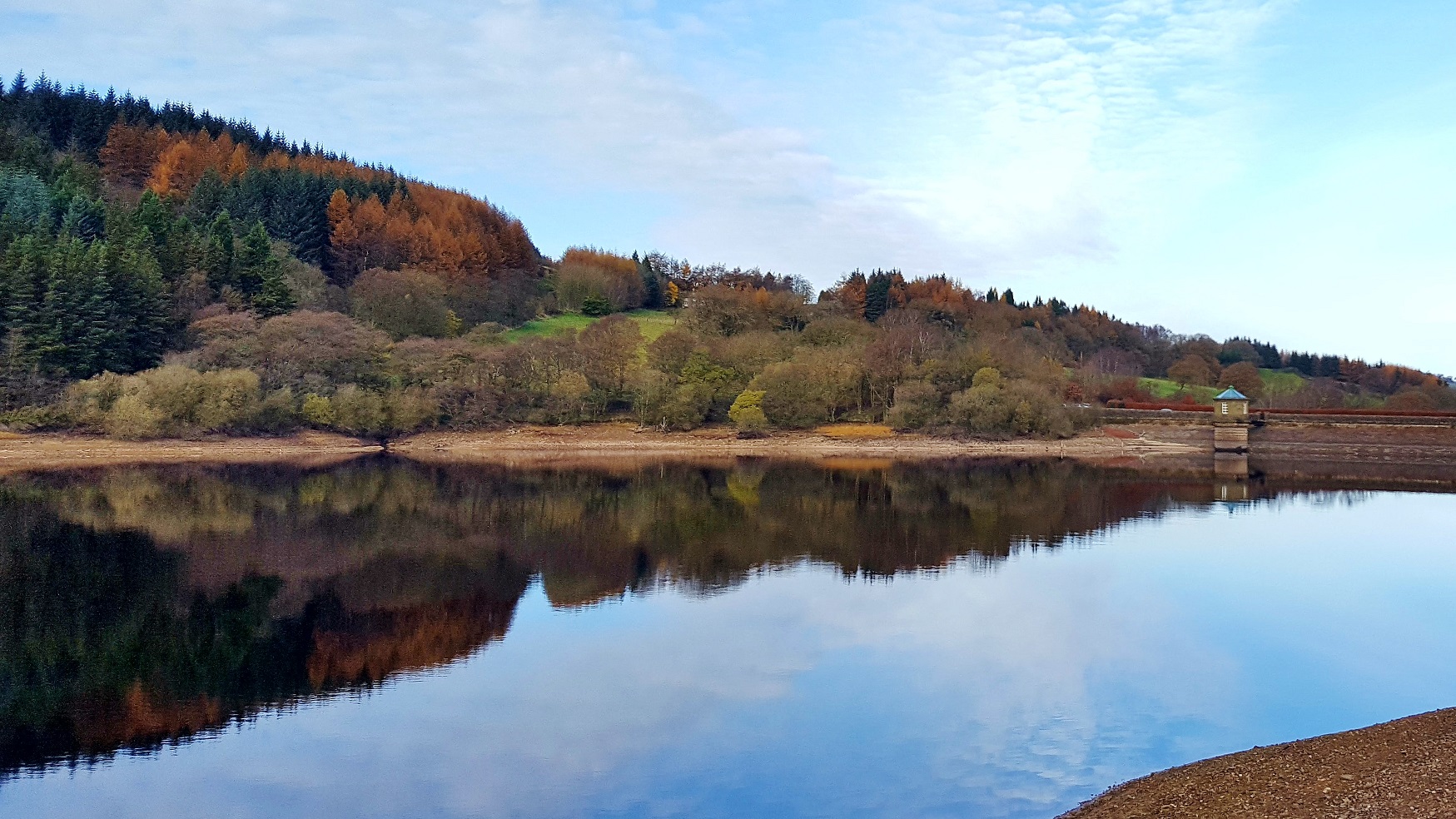
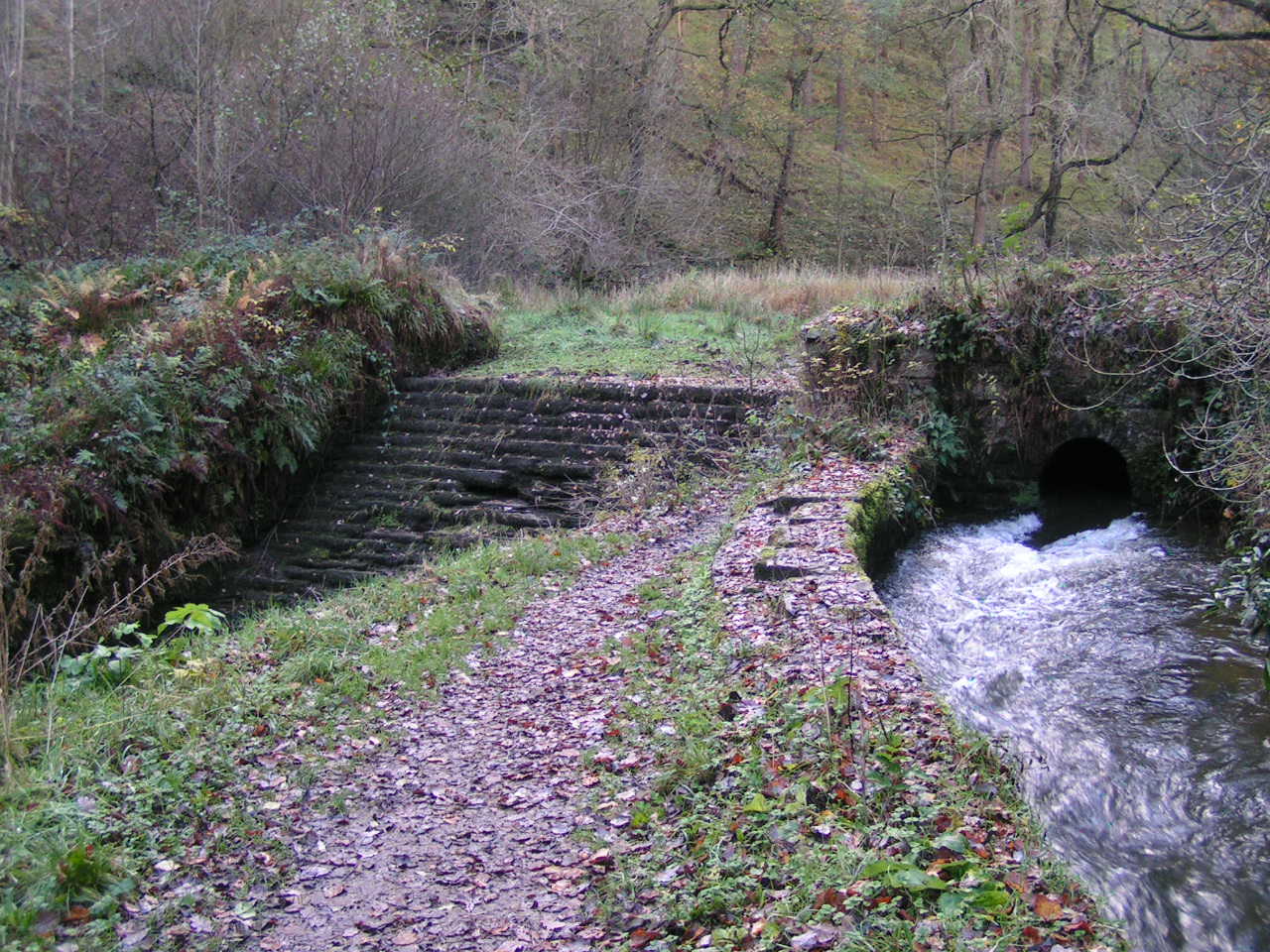
The town's most iconic feature is the Whaley Bridge Canal Basin, which was once an important transportation hub for the area. It is now a popular spot for leisure activities such as boating, fishing, and walking along the towpaths. The nearby Toddbrook Reservoir is another significant landmark, offering stunning views and recreational opportunities, including sailing and birdwatching.
Whaley Bridge boasts a range of amenities and services, including local shops, cafes, pubs, and restaurants. The town has a strong sense of community, with various social and cultural events taking place throughout the year. It also benefits from excellent transport links, with regular train services connecting it to Manchester and other nearby towns.
Overall, Whaley Bridge is a picturesque and thriving civil parish, offering a perfect blend of natural beauty, history, and community spirit.
If you have any feedback on the listing, please let us know in the comments section below.
Whaley Bridge Images
Images are sourced within 2km of 53.3073/-1.988726 or Grid Reference SK0078. Thanks to Geograph Open Source API. All images are credited.


Whaley Bridge is located at Grid Ref: SK0078 (Lat: 53.3073, Lng: -1.988726)
Administrative County: Derbyshire
District: High Peak
Police Authority: Derbyshire
What 3 Words
///records.investors.double. Near Whaley Bridge, Derbyshire
Nearby Locations
Related Wikis

Shallcross, Derbyshire
Shallcross is a small village in northwestern Derbyshire, England. It is located 15 miles (24 km) south of Manchester, at the edge of the Peak District...
Upper Goyt Valley
The Upper Goyt Valley is the southern section of the valley of the River Goyt in North West England. == Position == The source of the Goyt River is on...
Randall Carr
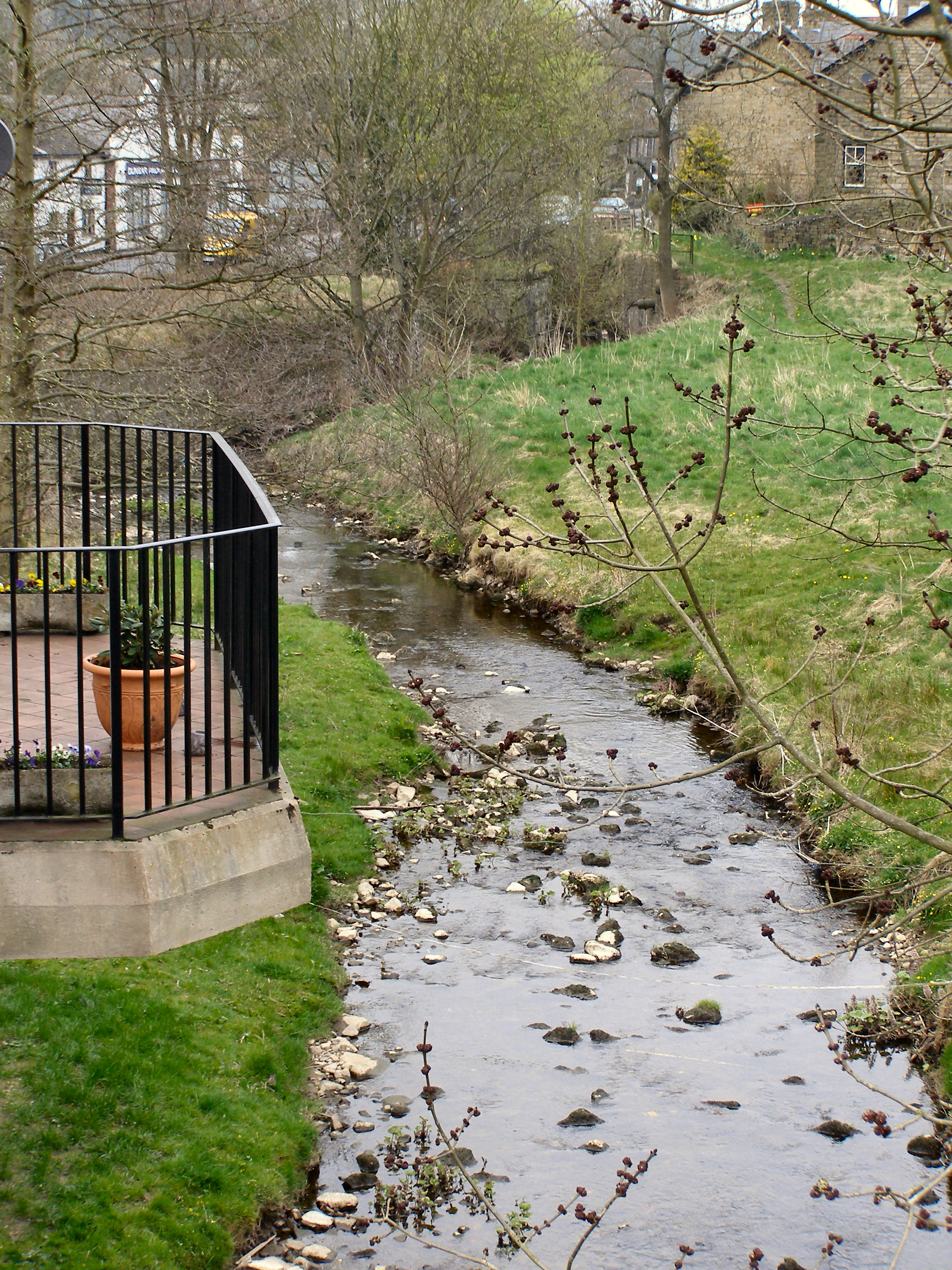
The Randall Carr brook is a river in Derbyshire, England. It starts at Combs and flows to Whaley Bridge where it ends in the river Goyt. Its headwaters...
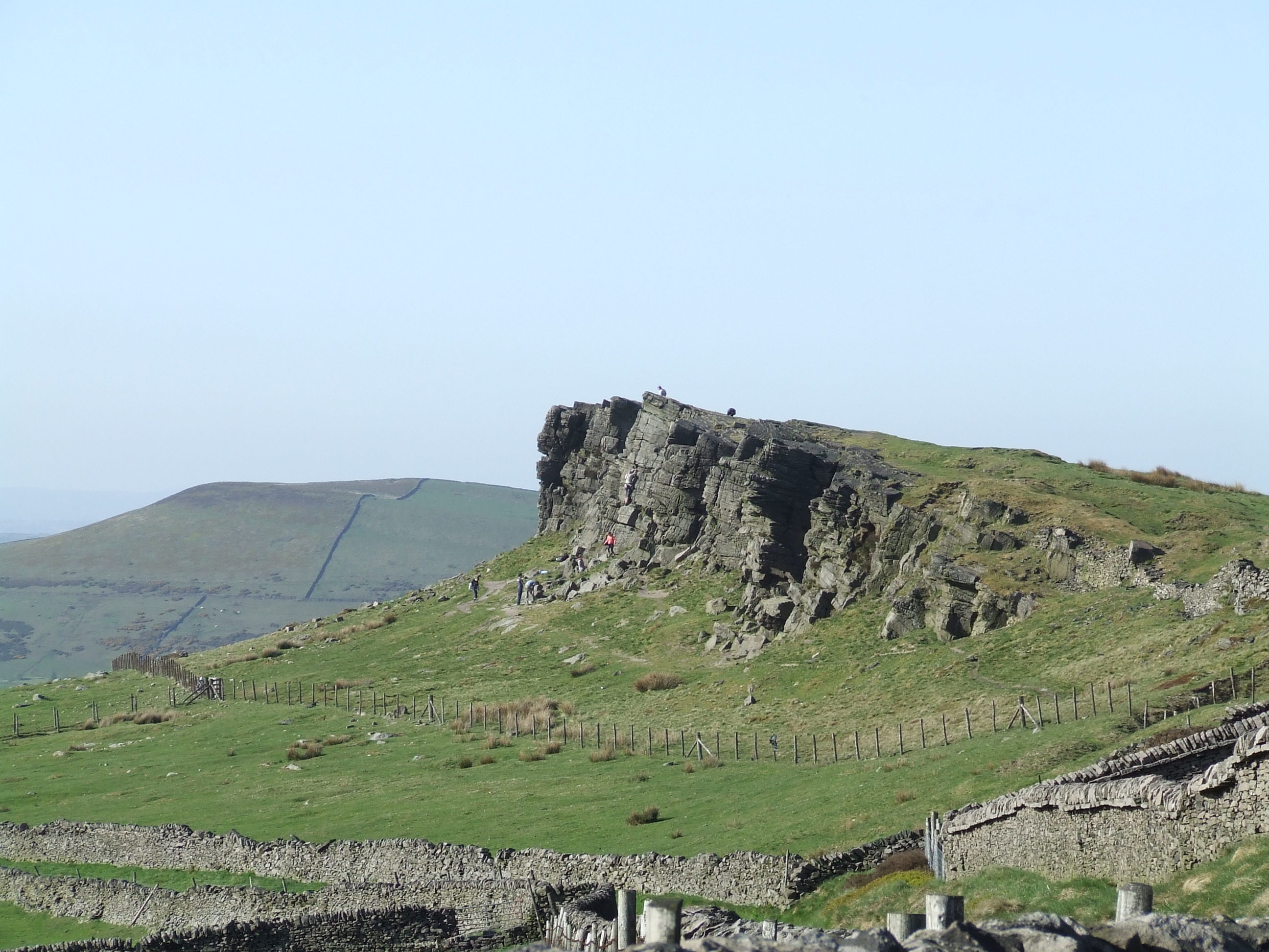
Windgather Rocks
The Windgather Rocks (416 metres/1,365 ft a.s.l.) is a gritstone crag on the Derbyshire–Cheshire border in England. It is in the Peak District National...

Toddbrook Reservoir
Toddbrook Reservoir, a feeder for the Peak Forest Canal, opened in 1838. It is above the town of Whaley Bridge in the High Peak area of Derbyshire, England...

Kettleshulme
Kettleshulme (Old Norse Ketil's island or Ketil's watermeadow) is a village and former civil parish, now in the parish of Kettleshulme and Lyme Handley...
Todd Brook
Todd Brook is a small river running through the English counties of Cheshire and Derbyshire. The Brook rises beneath Shining Tor on the border between...

Buxton Road Bridge
Buxton Road Bridge is a railway bridge over the A5004 road in Whaley Bridge, in the High Peak district, in the county of Derbyshire, England. It carries...
Nearby Amenities
Located within 500m of 53.3073,-1.988726Have you been to Whaley Bridge?
Leave your review of Whaley Bridge below (or comments, questions and feedback).