Mill Clough

Valley in Cheshire High Peak

England

Mill Clough

St James's Church, Taxal The church dates from the sixteenth century and is Grade II* listed.
St James's Church, Taxal Credit: Neil Theasby

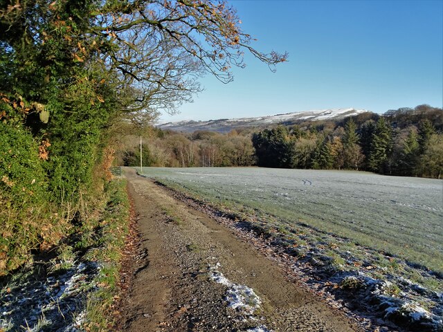
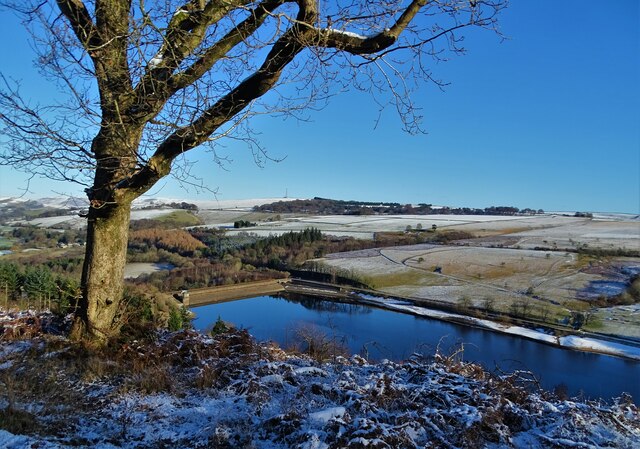
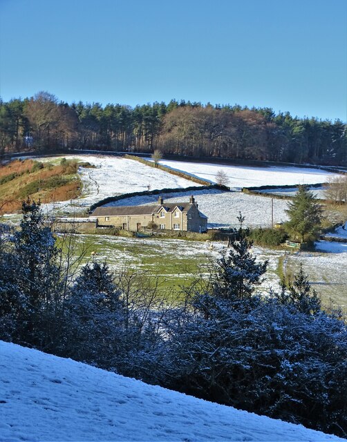
Mill Clough is a picturesque valley located in the county of Cheshire, England. Situated in the northwestern part of the county, it lies close to the town of Macclesfield and is known for its natural beauty and tranquil atmosphere. The valley is nestled between rolling hills and is surrounded by lush greenery, making it a popular destination for nature lovers and outdoor enthusiasts.

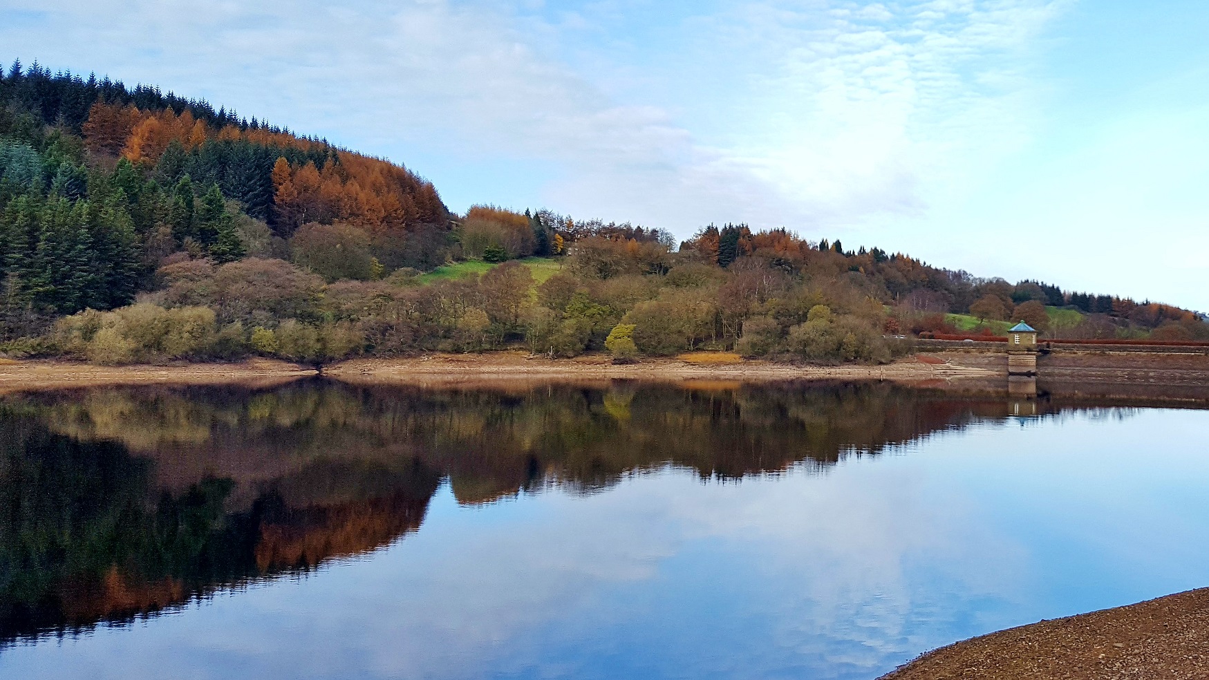
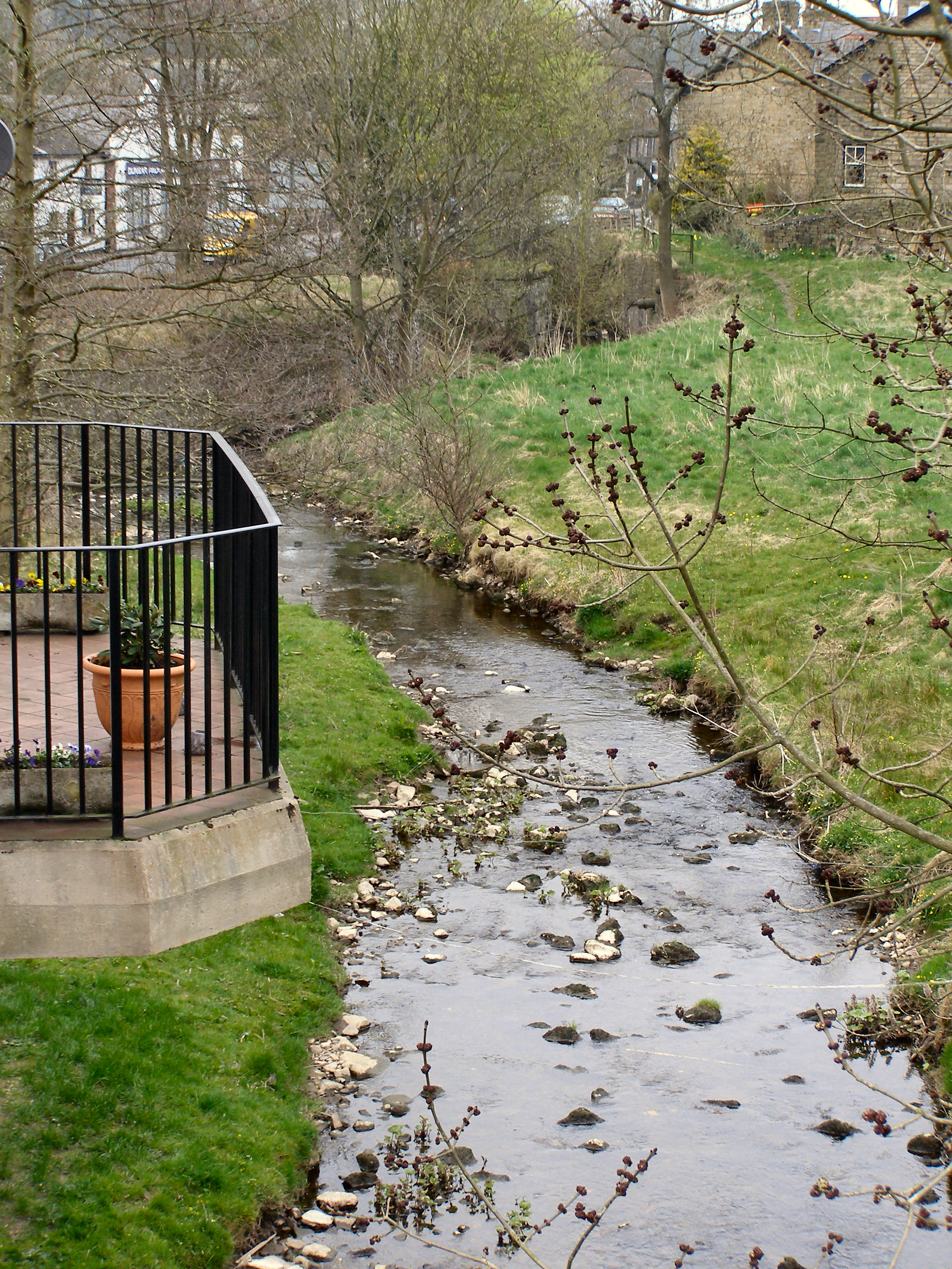
Mill Clough is characterized by its charming streams and waterfalls, which flow through the valley, creating a peaceful and serene environment. The sound of running water adds to the tranquility of the area, making it an ideal spot for relaxation and contemplation. The valley is also home to a variety of wildlife, including birds, small mammals, and insects, which can be observed in their natural habitat.

The area around Mill Clough is dotted with walking trails and footpaths, offering visitors the opportunity to explore the valley and its surroundings. These paths meander through the valley and provide stunning views of the Cheshire countryside. The valley is also home to a number of historical landmarks, including old mills and remnants of the industrial heritage that once characterized the area.

In addition to its natural beauty, Mill Clough offers a range of recreational activities. The valley is a popular spot for picnics and family outings, with designated areas providing picnic tables and facilities. Furthermore, fishing is a popular pastime, with the streams in the valley teeming with trout and other freshwater fish.

Overall, Mill Clough is a charming and idyllic destination, offering visitors a chance to immerse themselves in the beauty of the Cheshire countryside and enjoy a peaceful and relaxing escape from the hustle and bustle of everyday life.

If you have any feedback on the listing, please let us know in the comments section below.

Mill Clough Images

Images are sourced within 2km of 53.30245/-1.9888864 or Grid Reference SK0078. Thanks to Geograph Open Source API. All images are credited.

St James's Church, Taxal The church dates from the sixteenth century and is Grade II* listed.
St James's Church, Taxal
The church dates from the sixteenth century and is Grade II* listed.
The graveyard at Taxal Connected with St James's parish church.
The graveyard at Taxal
Connected with St James's parish church.
Whiteleas Road, Taxal
Looking east across The Goyt Valley
View to Overton Hall Farm
Knipe Cottage Above The Goyt Valley
Knipe Cottage
Above The Goyt Valley
Barn at Oldfield Farm
Looking down on Fernilee Reservoir From Hoo Moor
Looking down on Fernilee Reservoir
From Hoo Moor
Pool to the east of Fernilee Reservoir The surface was frozen at the time during a very cold snap.
Pool to the east of Fernilee Reservoir
The surface was frozen at the time during a very cold snap.
Bench with a view over  Fernilee Reservoir Looking towards the dam and the valve house. Fernilee Reservoir was completed in 1938 for Stockport Corporation and can hold about 5 billion litres of drinking water at full capacity.
Bench with a view over Fernilee Reservoir
Looking towards the dam and the valve house. Fernilee Reservoir was completed in 1938 for Stockport Corporation and can hold about 5 billion litres of drinking water at full capacity.
Oak tree in The Goyt Valley
Path junction in The Goyt Valley On the edge of Shallcross Wood
Path junction in The Goyt Valley
On the edge of Shallcross Wood
Five bar gate in The Goyt Valley
Fernilee Reservoir Dam View to the valve tower. Fernilee Reservoir was completed in 1938 for Stockport Corporation.
Fernilee Reservoir Dam
View to the valve tower. Fernilee Reservoir was completed in 1938 for Stockport Corporation.
Footbridge over The River Goyt at Taxal
Oaken End Farm
Oaken End Farm
Looking up towards Windgather Rocks from Fivelane-Ends The house some way up the lane is the former Windgather Cottage Youth Hostel, which opened in 1939 and closed in the mid-1980s.  When a hostel, the building had a series of barn-like extensions on the downhill end, which have now been demolished; the range on the right is at least partially a new addition. A photograph of the hostel in the 1970s can be seen at <a href="https://www.geograph.org.uk/photo/5730374">SJ9978 : Windgather Cottage Youth Hostel</a>. The hostel's original purposes will doubtless have included accommodating climbers who had come to scale the gritstone edge of Windgather Rocks.
Looking up towards Windgather Rocks from Fivelane-Ends
The house some way up the lane is the former Windgather Cottage Youth Hostel, which opened in 1939 and closed in the mid-1980s. When a hostel, the building had a series of barn-like extensions on the downhill end, which have now been demolished; the range on the right is at least partially a new addition. A photograph of the hostel in the 1970s can be seen at SJ9978 : Windgather Cottage Youth Hostel. The hostel's original purposes will doubtless have included accommodating climbers who had come to scale the gritstone edge of Windgather Rocks.
Clayholes Road, above Kettleshulme
Show me another place!

Mill Clough is located at Grid Ref: SK0078 (Lat: 53.30245, Lng: -1.9888864)

Administrative County: Derbyshire

District: High Peak

Police Authority: Derbyshire

What 3 Words

///soonest.living.uplifting. Near Whaley Bridge, Derbyshire

Nearby Locations

Mill Clough Whaley Bridge

Related Wikis

Upper Goyt Valley

The Upper Goyt Valley is the southern section of the valley of the River Goyt in North West England. == Position == The source of the Goyt River is on...
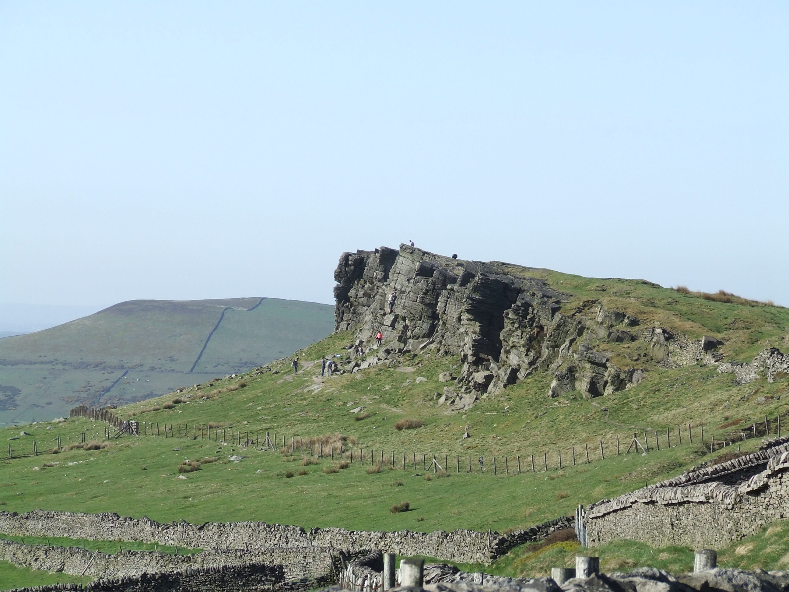
Windgather Rocks

The Windgather Rocks (416 metres/1,365 ft a.s.l.) is a gritstone crag on the Derbyshire–Cheshire border in England. It is in the Peak District National...

Shallcross, Derbyshire

Shallcross is a small village in northwestern Derbyshire, England. It is located 15 miles (24 km) south of Manchester, at the edge of the Peak District...

Randall Carr

The Randall Carr brook is a river in Derbyshire, England. It starts at Combs and flows to Whaley Bridge where it ends in the river Goyt. Its headwaters...

Nearby Amenities

Located within 500m of 53.30245,-1.9888864
Barrier: cattle_grid
Lat/Long: 53.3040617/-1.9902433
Bench
Lat/Long: 53.3041414/-1.9899193
Information: guidepost
Lat/Long: 53.3024129/-1.9868514
The data included in this document is from www.openstreetmap.org. The data is made available under ODbL.

Have you been to Mill Clough?

Leave your review of Mill Clough below (or comments, questions and feedback).