Whalley
Settlement in Lancashire Ribble Valley
England
Whalley
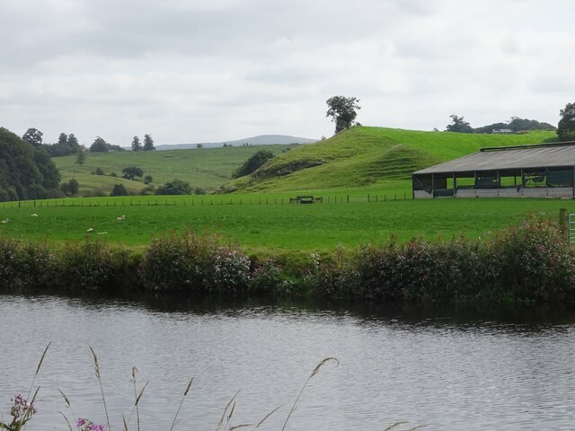
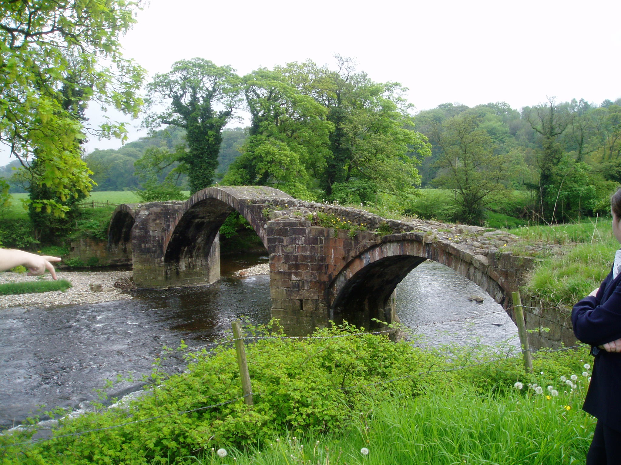
Whalley is a picturesque village located in the Ribble Valley district of Lancashire, England. Situated on the banks of the River Calder, it is surrounded by beautiful countryside and is often referred to as the "Gateway to the Ribble Valley".
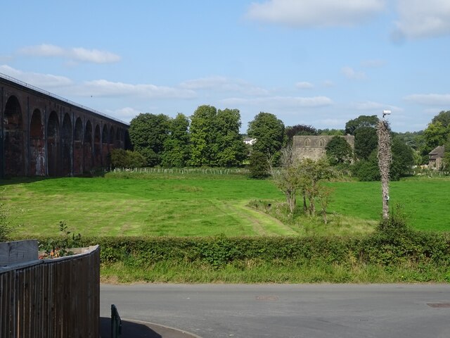
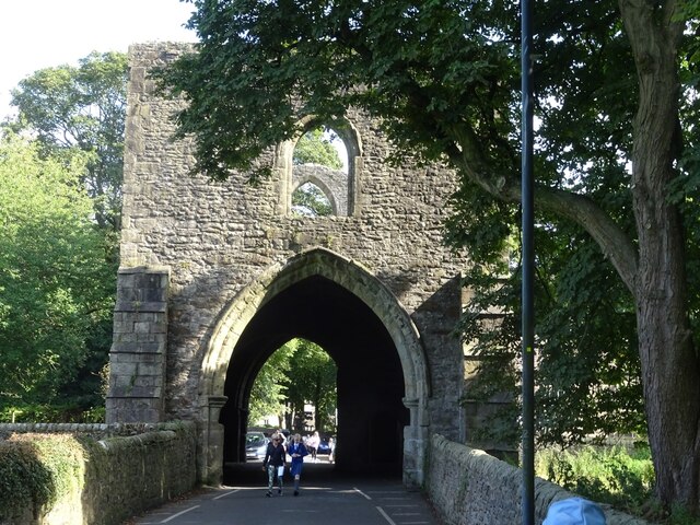
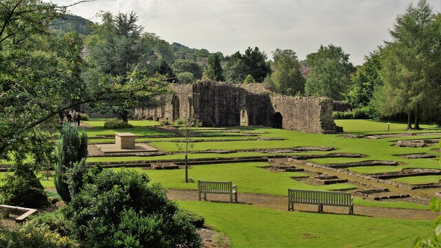
The village has a rich history dating back to the Roman times, with several archaeological sites indicating its ancient origins. Whalley Abbey, founded in the 14th century, is a prominent landmark and a popular tourist attraction. The abbey ruins stand majestically, offering visitors a glimpse into the region's medieval past.
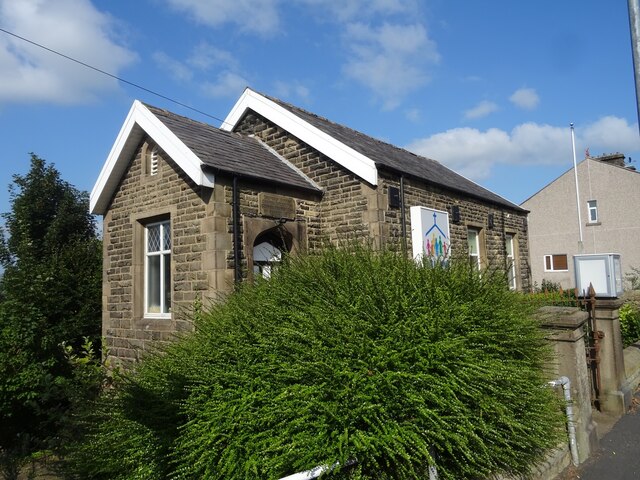
Whalley is known for its charming village center, lined with traditional stone-built houses and quaint shops. The village offers a range of amenities, including local pubs, restaurants, and cafes, catering to both residents and tourists. The vibrant high street hosts a weekly market, where local produce, crafts, and other goods can be found.
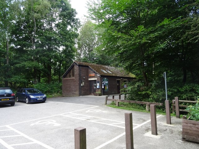
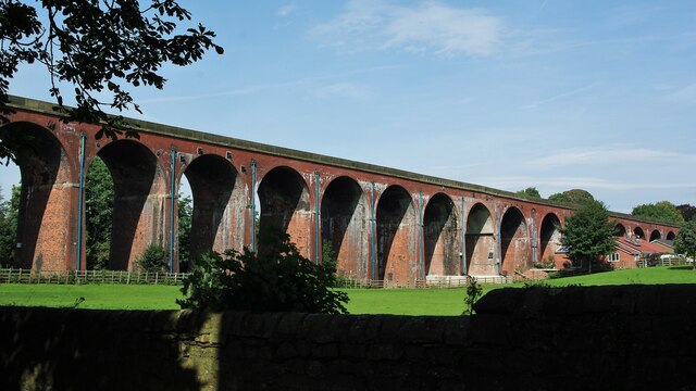
Nature enthusiasts will find themselves in paradise in Whalley, as it sits amidst the stunning countryside of the Ribble Valley. The area offers numerous walking and cycling trails, with the nearby Forest of Bowland designated as an Area of Outstanding Natural Beauty. The river and surrounding woodlands provide a haven for wildlife, making it a popular spot for birdwatching and nature photography.
Whalley's close proximity to the larger towns of Blackburn and Clitheroe ensures easy access to additional amenities and transport links. With its blend of historical charm, natural beauty, and modern conveniences, Whalley offers a delightful experience for visitors and a tranquil place to reside.
If you have any feedback on the listing, please let us know in the comments section below.
Whalley Images
Images are sourced within 2km of 53.823542/-2.4061415 or Grid Reference SD7336. Thanks to Geograph Open Source API. All images are credited.


Whalley is located at Grid Ref: SD7336 (Lat: 53.823542, Lng: -2.4061415)
Administrative County: Lancashire
District: Ribble Valley
Police Authority: Lancashire
What 3 Words
///mulled.petulant.raft. Near Whalley, Lancashire
Nearby Locations
Related Wikis

Whalley, Lancashire
Whalley is a large village and civil parish in the Ribble Valley on the banks of the River Calder in Lancashire, England. It is overlooked by Whalley...

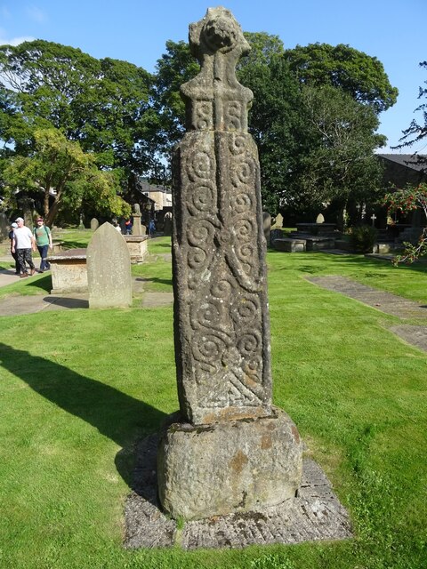
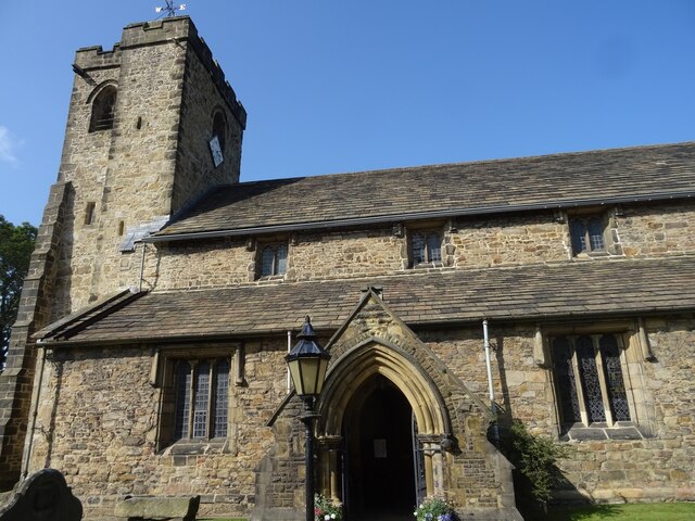
Church of St Mary and All Saints, Whalley
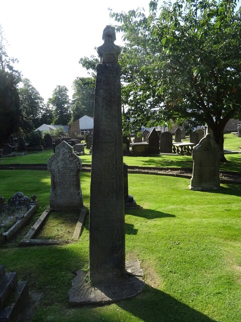
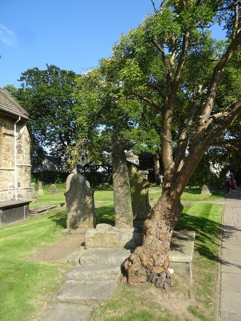
The Church of St Mary and All Saints is an Anglican church in the village of Whalley, Lancashire, England. It is an active parish church in the Diocese...
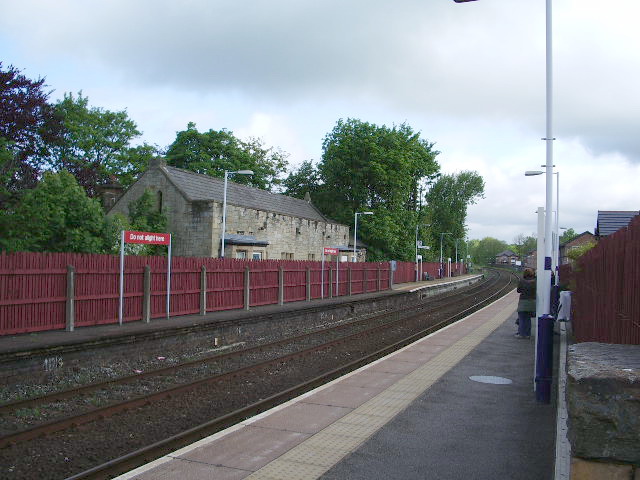
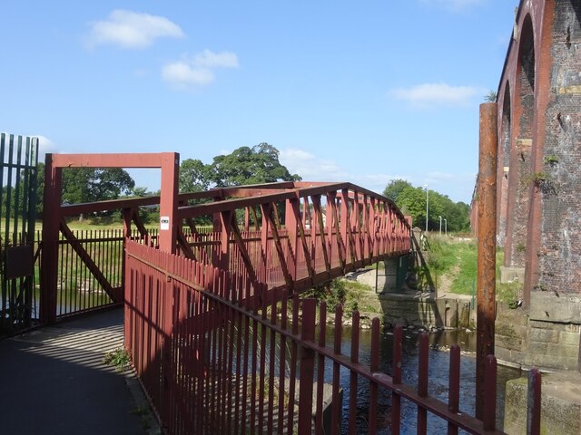
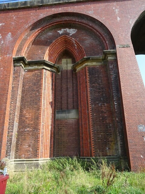
Whalley railway station
Whalley railway station serves the village of Whalley in Lancashire, England. The station lies on the Ribble Valley Line 7+1⁄4 miles (11.7 km) north of...
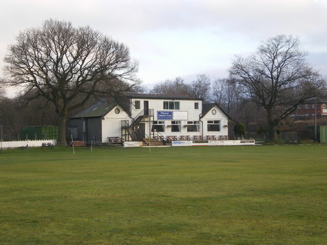
Station Road Ground
Station Road Ground is a cricket ground located off Station Road in Whalley, Lancashire. The ground is bordered to the north and west by other sports fields...

Whalley Abbey
Whalley Abbey is a former Cistercian abbey in Whalley, Lancashire, England. After the dissolution of the monasteries, the abbey was largely demolished...

Oakhill School, Whalley
Oakhill School is a coeducational private Roman Catholic school, situated in the village of Whalley (near the town of Clitheroe) in rural Lancashire, England...

Calderstones Hospital
Calderstones Hospital is a mental health facility near to Whalley, Lancashire, England. It is managed by Mersey Care NHS Foundation Trust. == History... ==
River Hodder
The River Hodder is in Lancashire, England. It is a County Biological Heritage Site. It rises on White Hill and flows for approximately 23 miles to the...
Nearby Amenities
Located within 500m of 53.823542,-2.4061415Have you been to Whalley?
Leave your review of Whalley below (or comments, questions and feedback).