Archbishop's Wood
Wood, Forest in Lancashire Ribble Valley
England
Archbishop's Wood
Archbishop's Wood, located in Lancashire, England, is a picturesque forest area known for its natural beauty and historical significance. This woodland spans approximately 40 hectares and is situated near the town of Charnock Richard.
The forest is named after the Archbishop of York, who once owned the land in medieval times. It is believed to have been used as a hunting ground for the archbishop and his retinue. Today, Archbishop's Wood is managed by the Woodland Trust, a leading conservation charity in the UK, which aims to protect and preserve the site's unique ecosystem.
The woodland is characterized by a mix of broadleaf trees, including oak, birch, and beech, which create a rich and diverse habitat for various wildlife species. Visitors can explore the area through a network of well-maintained footpaths, allowing them to experience the tranquil surroundings and observe the flora and fauna that thrive within the forest.
Archbishop's Wood offers a peaceful retreat for nature lovers and outdoor enthusiasts. It is a popular destination for walking, jogging, and birdwatching, with numerous bird species such as woodpeckers, owls, and warblers making their home in the forest. The serene atmosphere and the abundance of flora and fauna make it an ideal spot for nature photography and nature study.
Overall, Archbishop's Wood in Lancashire is a cherished natural asset, appreciated for its beauty, biodiversity, and historical value. It provides a valuable habitat for wildlife, a recreational space for visitors, and serves as a reminder of the region's rich cultural heritage.
If you have any feedback on the listing, please let us know in the comments section below.
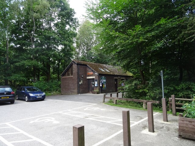
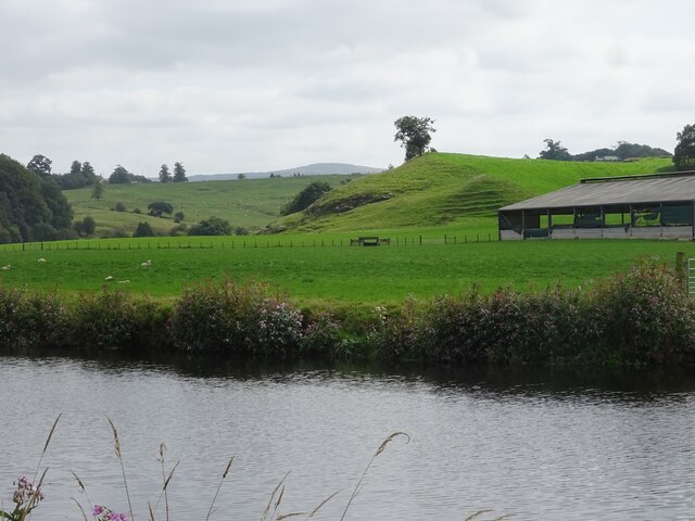
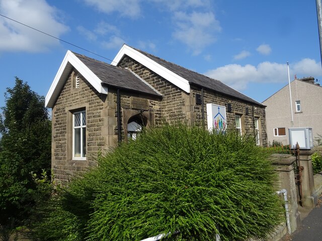
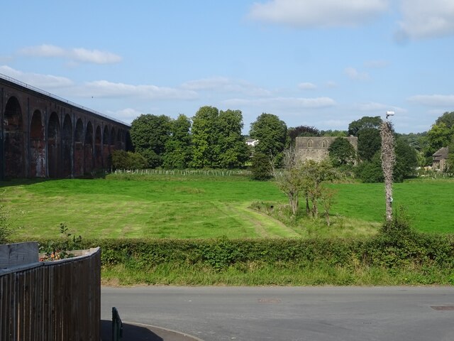
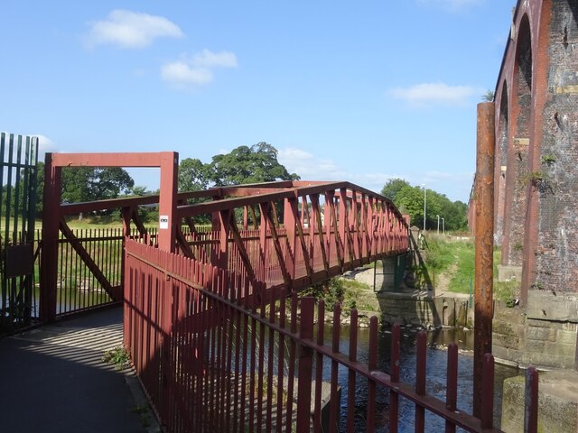
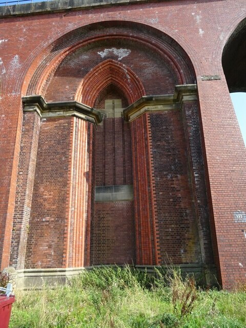
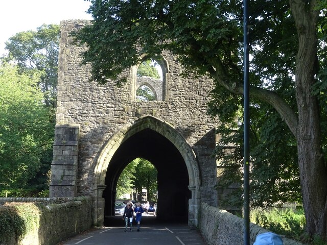
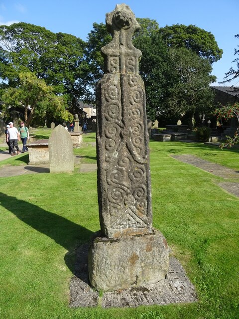
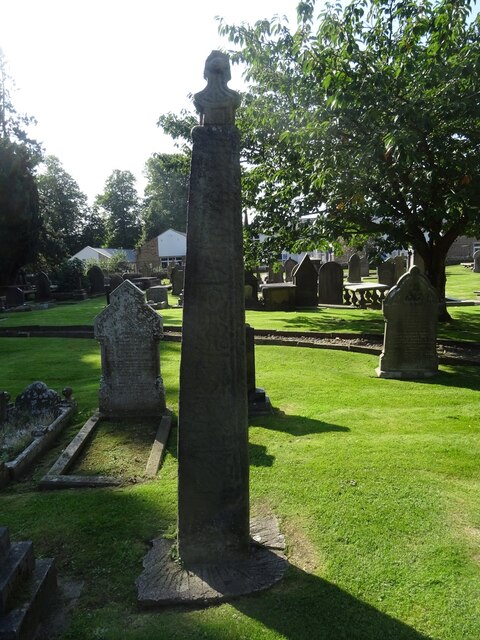
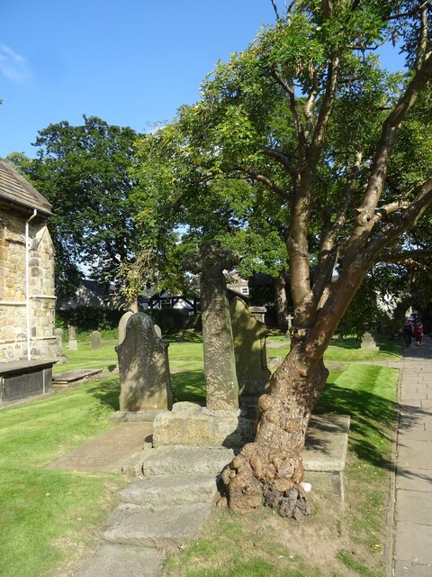
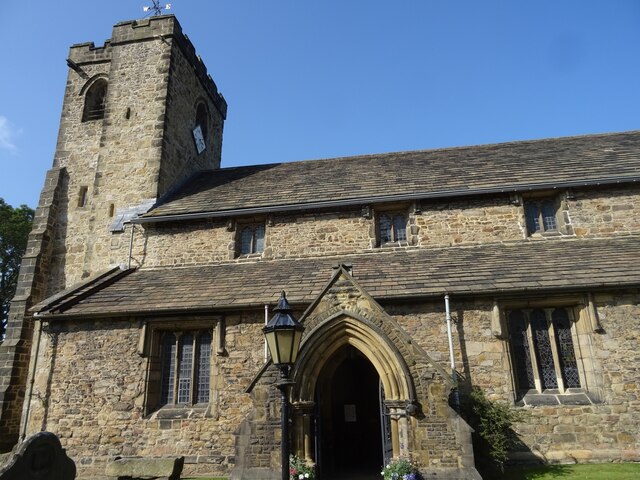
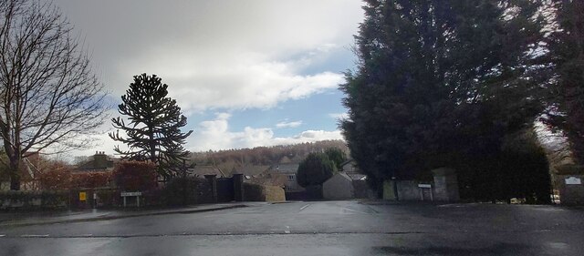
Archbishop's Wood Images
Images are sourced within 2km of 53.820898/-2.4011335 or Grid Reference SD7336. Thanks to Geograph Open Source API. All images are credited.


Archbishop's Wood is located at Grid Ref: SD7336 (Lat: 53.820898, Lng: -2.4011335)
Administrative County: Lancashire
District: Ribble Valley
Police Authority: Lancashire
What 3 Words
///yappy.soggy.losses. Near Whalley, Lancashire
Nearby Locations
Related Wikis

Whalley, Lancashire
Whalley is a large village and civil parish in the Ribble Valley on the banks of the River Calder in Lancashire, England. It is overlooked by Whalley...

Church of St Mary and All Saints, Whalley
The Church of St Mary and All Saints is an Anglican church in the village of Whalley, Lancashire, England. It is an active parish church in the Diocese...

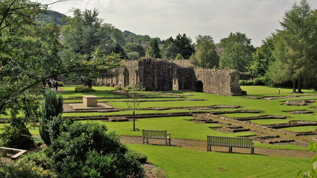
Whalley Abbey
Whalley Abbey is a former Cistercian abbey in Whalley, Lancashire, England. After the dissolution of the monasteries, the abbey was largely demolished...

Oakhill School, Whalley
Oakhill School is a coeducational private Roman Catholic school, situated in the village of Whalley (near the town of Clitheroe) in rural Lancashire, England...
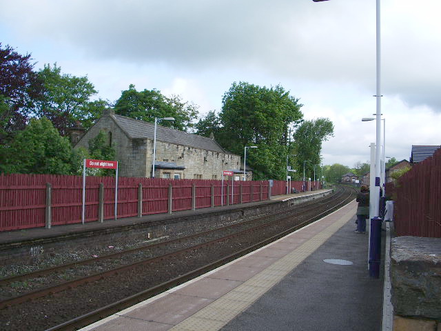
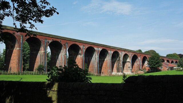
Whalley railway station
Whalley railway station serves the village of Whalley in Lancashire, England. The station lies on the Ribble Valley Line 7+1⁄4 miles (11.7 km) north of...
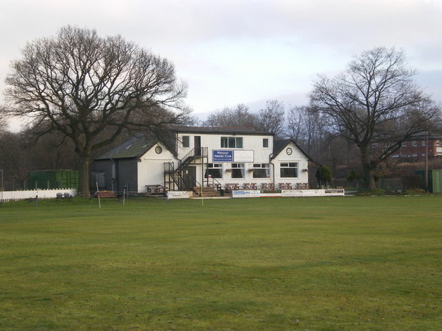
Station Road Ground
Station Road Ground is a cricket ground located off Station Road in Whalley, Lancashire. The ground is bordered to the north and west by other sports fields...

Portfield Hillfort
Portfield also known as Planes Wood Camp is a late Bronze Age or Iron Age hillfort situated close to the town of Whalley in Lancashire, Northern England...

Billington, Lancashire
Billington is a village in the Ribble Valley district of Lancashire, England. It lies between the villages of Whalley and Langho. It forms part of the...
Nearby Amenities
Located within 500m of 53.820898,-2.4011335Have you been to Archbishop's Wood?
Leave your review of Archbishop's Wood below (or comments, questions and feedback).