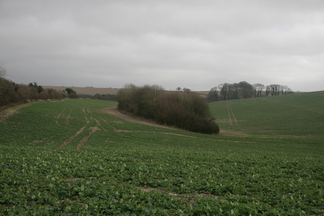
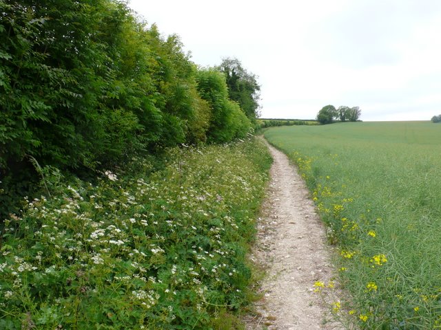
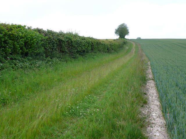
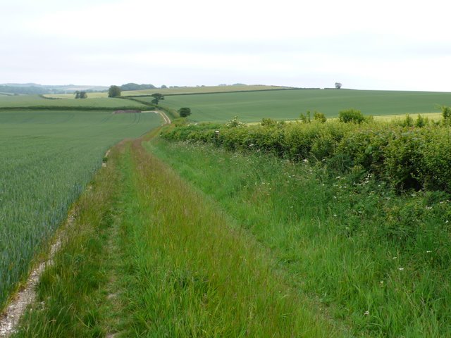
Dole's Hill Plantation
Wood, Forest in Dorset
England
Dole's Hill Plantation

Dole's Hill Plantation is a historic estate located in Dorset, a county in the southwest of England. Situated amidst lush woodlands and sprawling forests, this picturesque plantation covers a vast area of land, offering a serene and idyllic setting.
The plantation is renowned for its rich history, dating back several centuries. It was originally established in the 17th century and has since undergone various renovations and expansions, while preserving its original charm and character. Dole's Hill Plantation has been home to prominent Dorset families throughout its existence, and its architecture reflects the changing styles and tastes of different eras.
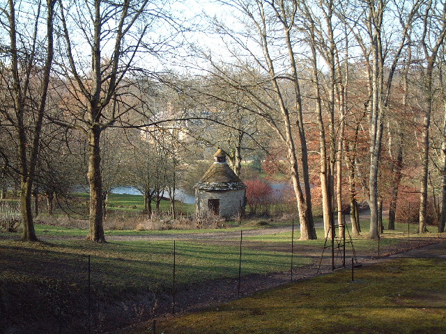
The estate boasts an impressive manor house, which serves as the centerpiece of the plantation. This grand residence features elegant Georgian architecture, with its distinctive red-brick facade and large sash windows. Surrounding the manor house are meticulously maintained gardens, with manicured lawns, vibrant flowerbeds, and winding pathways, creating a delightful and inviting ambiance.
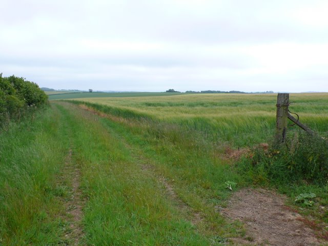
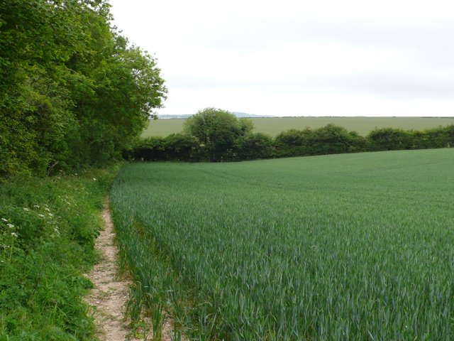
In addition to its stunning natural beauty, Dole's Hill Plantation offers a range of recreational activities for visitors. The sprawling woodlands provide ample opportunities for hiking, cycling, and exploring nature trails. The estate also boasts a private lake, where visitors can enjoy fishing or simply relax by the water's edge.
Dole's Hill Plantation is not only a popular tourist destination but also a venue for events and weddings. Its tranquil surroundings and elegant setting make it an ideal location for couples looking to celebrate their special day in a picturesque and romantic atmosphere.
Overall, Dole's Hill Plantation is a treasured gem in Dorset, offering visitors a glimpse into its rich history, stunning landscapes, and a serene escape from the hustle and bustle of everyday life.
If you have any feedback on the listing, please let us know in the comments section below.
Dole's Hill Plantation Images
Images are sourced within 2km of 50.784355/-2.374535 or Grid Reference SY7398. Thanks to Geograph Open Source API. All images are credited.


Dole's Hill Plantation is located at Grid Ref: SY7398 (Lat: 50.784355, Lng: -2.374535)
Unitary Authority: Dorset
Police Authority: Dorset
What 3 Words
///wordplay.tumblers.outlined. Near Puddletown, Dorset
Nearby Locations
Related Wikis

Piddlehinton
Piddlehinton is a village and civil parish in west Dorset, England, situated in the Piddle valley 5 miles (8.0 km) north of Dorchester. In the 2011 census...

Doles Ash
Doles Ash is a farm in Dorset, England, a few kilometers east of Piddletrenthide and south of Plush. The farm features in Thomas Hardy's Tess of the D...

Cheselbourne
Cheselbourne (sometimes spelled Chesilborne or Cheselborne) is a village and civil parish in Dorset, England, situated in the Dorset Downs, 7 miles (11...

Waterston Manor
Waterston Manor, Puddletown, Dorset is a manor house with 17th century origins, that was extensively rebuilt after a fire in 1863 and remodelled in 1911...

Piddletrenthide (liberty)
Piddletrenthide Liberty was a liberty in the county of Dorset, England, containing the following parishes: Gorewood (from 1858) Minterne Magna (part)...
Dewlish House
Dewlish House is a country house near Dewlish in Dorset. It is a Grade I Listed building. == History == Dewlish House, built in 1702, became the home of...
Aller, Dorset
Aller is a village in Dorset, England.

Dewlish
Dewlish is a village and civil parish in the county of Dorset in southern England, and is situated approximately 7 miles (11 km) north-east of the county...
Nearby Amenities
Located within 500m of 50.784355,-2.374535Have you been to Dole's Hill Plantation?
Leave your review of Dole's Hill Plantation below (or comments, questions and feedback).