Weston

Civil Parish in Hertfordshire North Hertfordshire

England

Weston

Fishing lake near Weston Private fishing lake in the woods south of Weston at TL263296
Fishing lake near Weston Credit: Paul Dixon

Weston is a civil parish located in the county of Hertfordshire, England. It is situated approximately 6 miles to the east of Stevenage and covers an area of around 3.5 square miles. The parish is part of the North Hertfordshire district and has a population of approximately 1,200 residents.

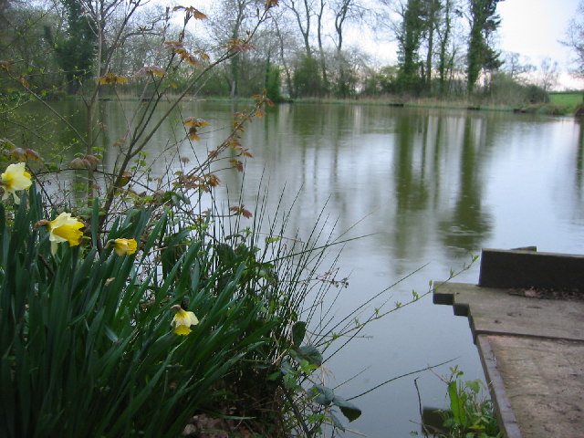
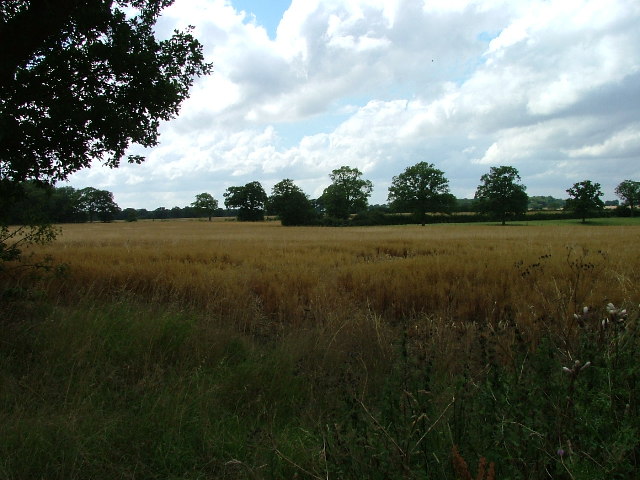
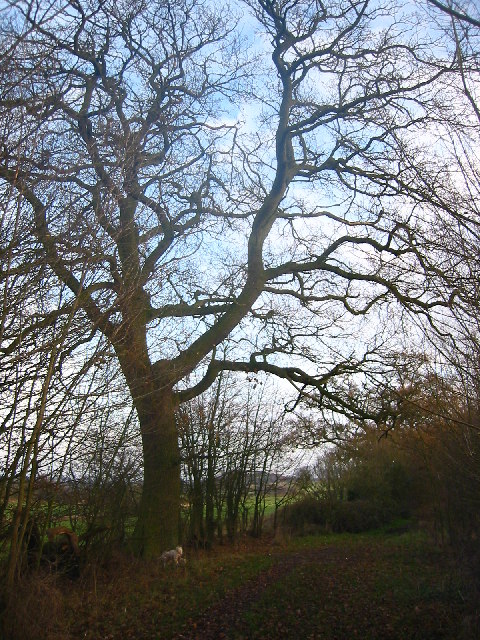
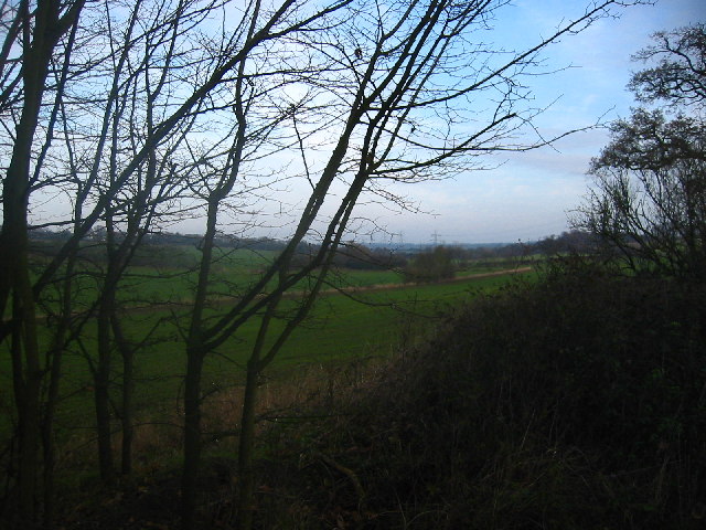
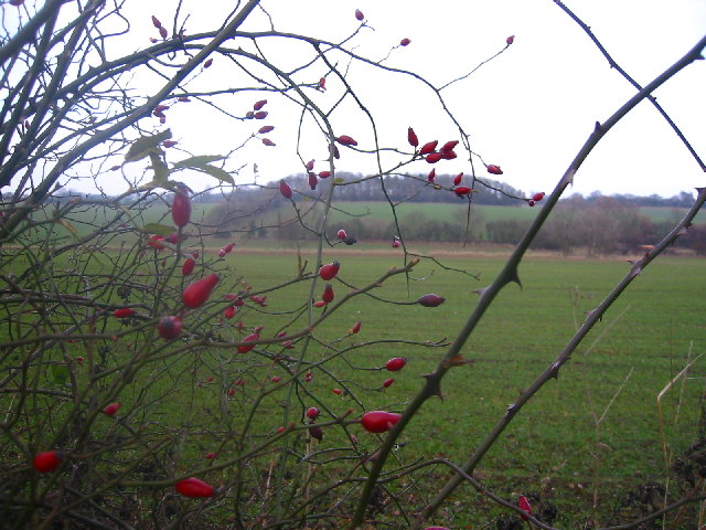
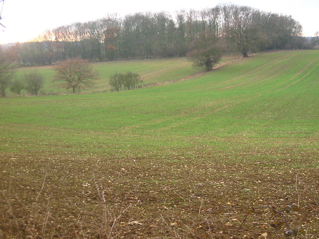
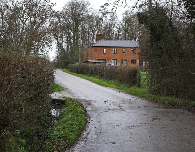
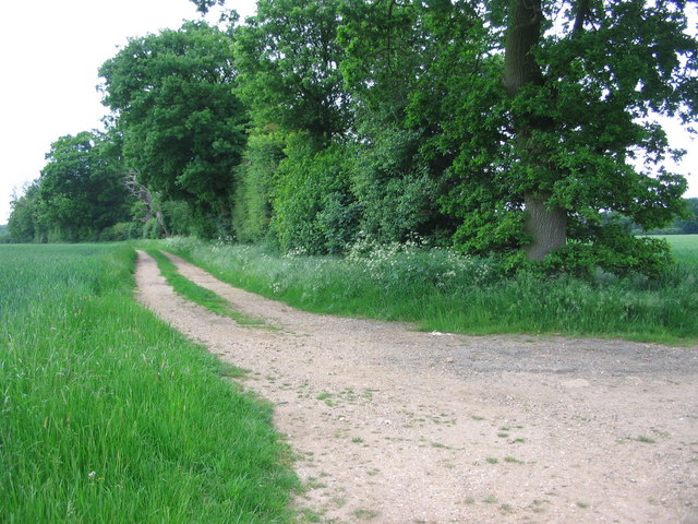
The village of Weston is known for its picturesque countryside and charming rural setting. It is surrounded by rolling hills, green fields, and woodland areas, providing ample opportunities for outdoor activities such as walking, cycling, and horse riding. The River Beane flows through the parish, further enhancing its natural beauty.

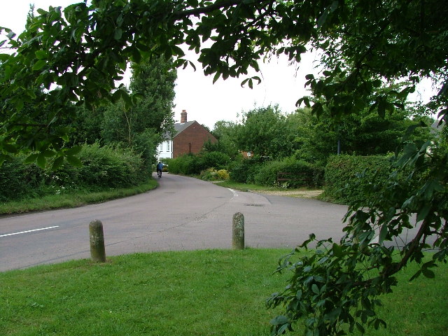
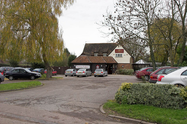
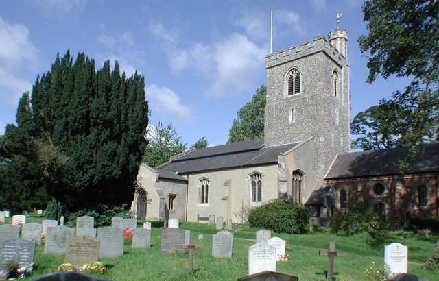
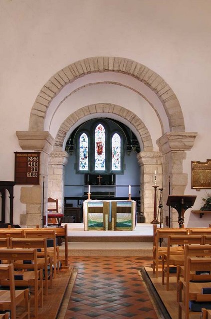
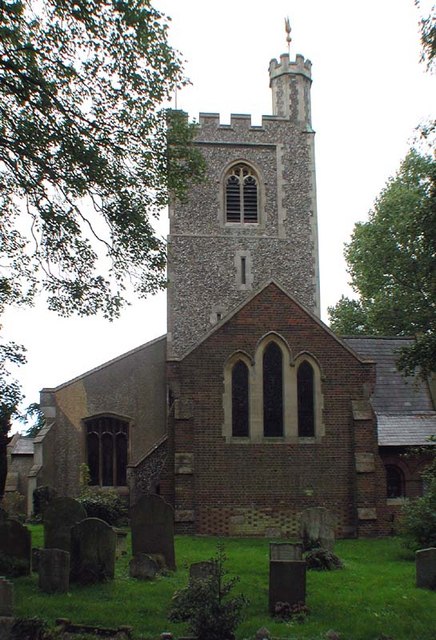
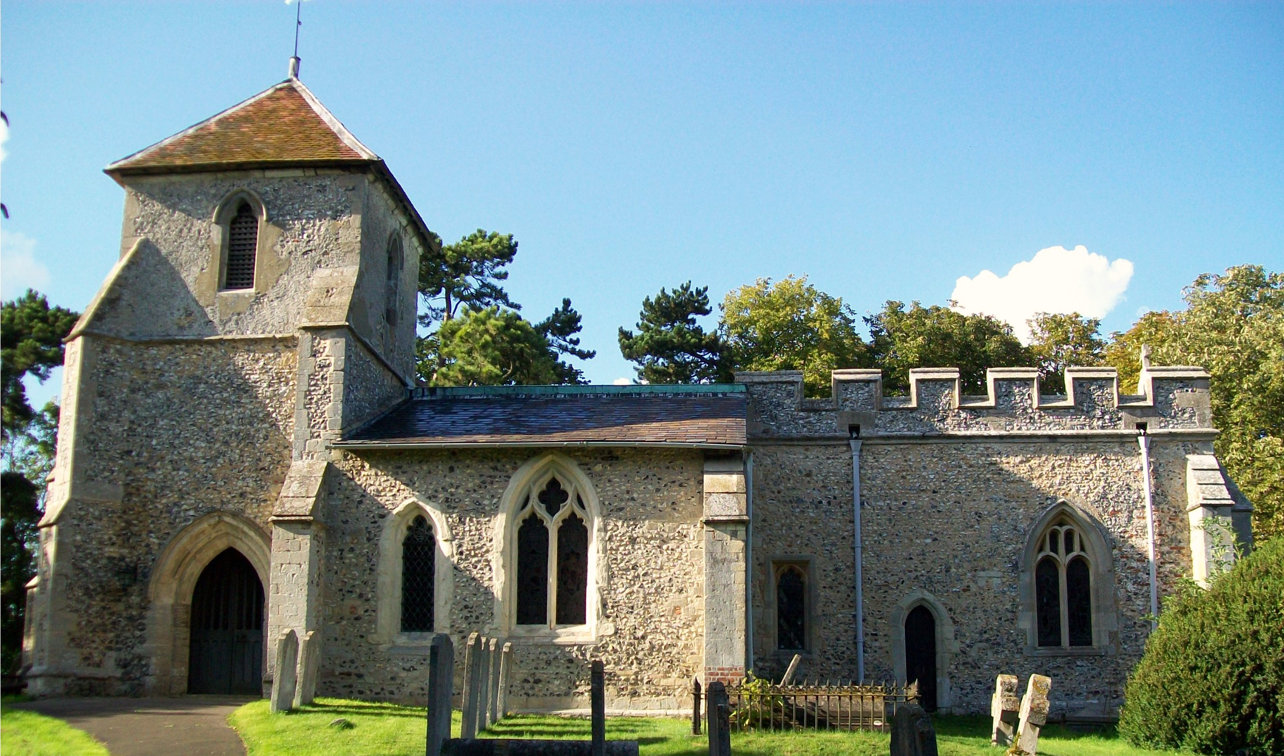
The village itself is small and retains a traditional English village atmosphere. It features a mix of historic and modern buildings, including quaint cottages, a village hall, a church, and a primary school. The church, dedicated to St. Peter, dates back to the 12th century and is a Grade I listed building.

Weston is well-connected to nearby towns and cities, with good transport links. The A602 road passes through the parish, providing easy access to Stevenage and Hertford. The nearest railway station is located in Stevenage, offering regular services to London and other major cities.

The community in Weston is close-knit and vibrant, with various local events and activities taking place throughout the year. The village has a strong sense of community spirit, with residents actively participating in initiatives and organizations, such as the village fete and the Parish Council.

In summary, Weston is a charming and idyllic civil parish in Hertfordshire, offering a peaceful countryside setting, a rich history, and a strong community spirit.

If you have any feedback on the listing, please let us know in the comments section below.

Weston Images

Images are sourced within 2km of 51.95231/-0.161599 or Grid Reference TL2629. Thanks to Geograph Open Source API. All images are credited.

Fishing lake near Weston Private fishing lake in the woods south of Weston at TL263296
Fishing lake near Weston
Private fishing lake in the woods south of Weston at TL263296
Damask Green A lovely spot.
Damask Green
A lovely spot.
Fields opposite Tile Kiln Farm Typical farmland in this area.
Fields opposite Tile Kiln Farm
Typical farmland in this area.
Oak tree on Lolleywood Lane An oak tree sheds the last of its leaves on the Lolleywood Lane bridleway
Oak tree on Lolleywood Lane
An oak tree sheds the last of its leaves on the Lolleywood Lane bridleway
Looking north-east from Lolleywood Lane A view across the fields from the bridleway
Looking north-east from Lolleywood Lane
A view across the fields from the bridleway
Rosehips with Barnacks Hill Wood beyond Taken from the Lolleywood Lane bridleway looking north
Rosehips with Barnacks Hill Wood beyond
Taken from the Lolleywood Lane bridleway looking north
Barnacks Hill Wood Taken looking west from the bridleway
Barnacks Hill Wood
Taken looking west from the bridleway
Rising Sun Public House In the small Hamlet of Hall's Green can be found the Public House named the rising sun. Very popular it is too judging by the car park.
Rising Sun Public House
In the small Hamlet of Hall's Green can be found the Public House named the rising sun. Very popular it is too judging by the car park.
Cottages at Warren's Green Warrens Green is made up of 4 or 5 cottages. This is an example.
Cottages at Warren's Green
Warrens Green is made up of 4 or 5 cottages. This is an example.
Holy Trinity, Weston, Herts
Holy Trinity, Weston, Herts - Font
Holy Trinity, Weston, Herts - East end
Holy Trinity, Weston, Herts - Corbel
Holy Trinity, Weston, Herts - Weathervane
Holy Trinity, Weston, Herts
Bridlepath Junction near How Wood looking NNW Not the centre of the square but it would seem that it would be a favourite spot.
Bridlepath Junction near How Wood looking NNW
Not the centre of the square but it would seem that it would be a favourite spot.
Show me another place!

Weston is located at Grid Ref: TL2629 (Lat: 51.95231, Lng: -0.161599)

Administrative County: Hertfordshire

District: North Hertfordshire

Police Authority: Hertfordshire

What 3 Words

///cheaply.snatched.unspoiled. Near Walkern, Hertfordshire

Related Wikis

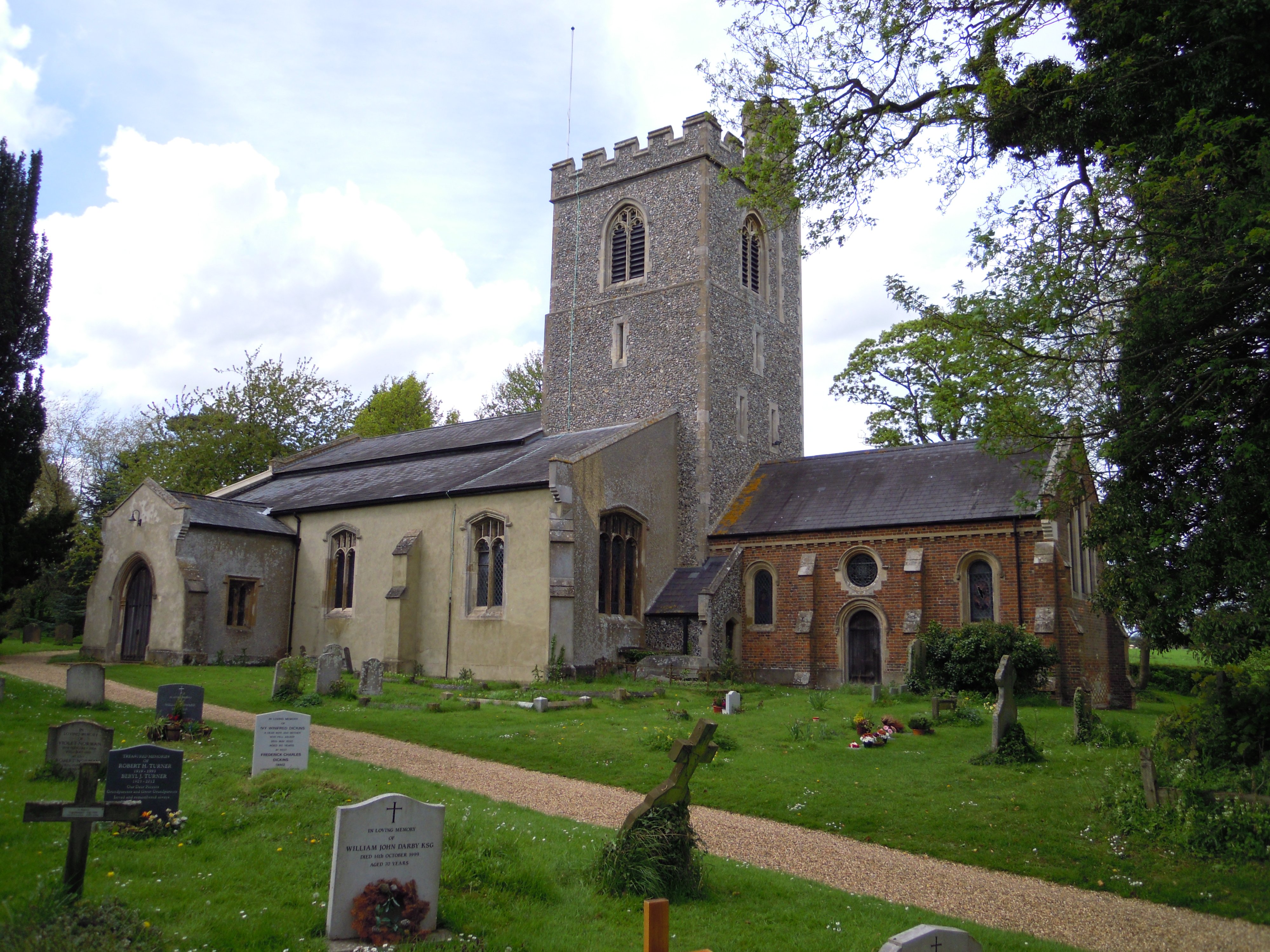
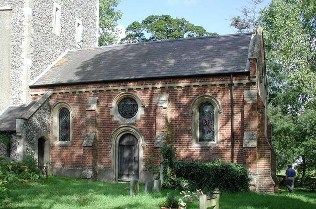
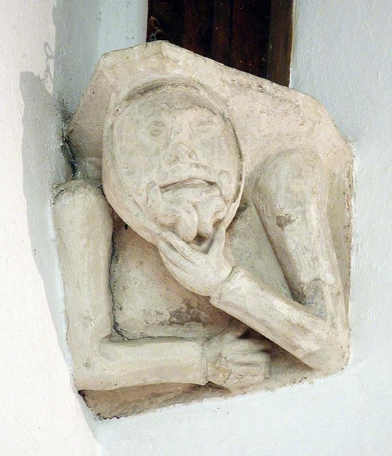
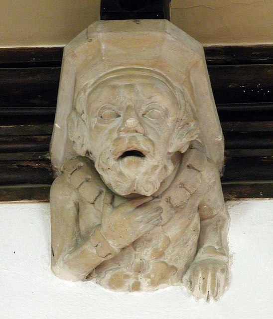
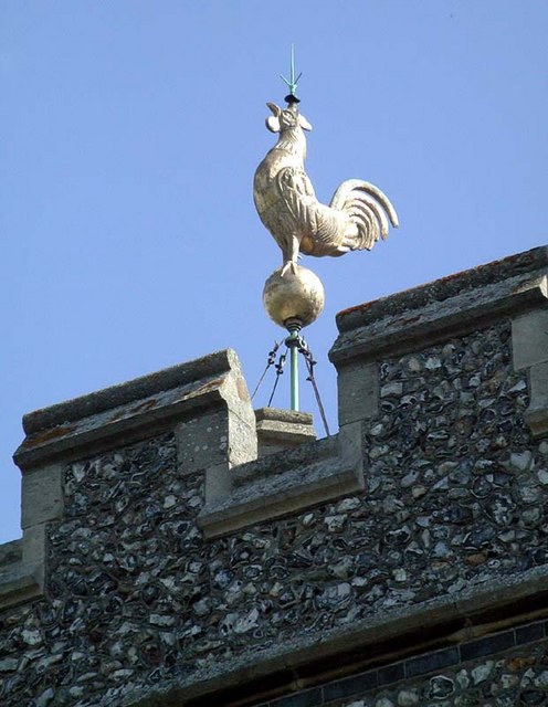
Holy Trinity Church, Weston

Holy Trinity Church is the parish church for the village of Weston in Hertfordshire. The church building stands to the south-east of the village on high...

Weston, Hertfordshire

Weston is a village and civil parish in the North Hertfordshire district of Hertfordshire, England. It is located around 4 miles north of Stevenage, 2...

Lannock Mill, Weston

Lannock Mill is a Grade II listed tower mill at Weston, Hertfordshire, England which is derelict. == History == Lannock Mill was built in 1860. A windmill...

Clothall

Clothall is a village and civil parish in the county of Hertfordshire, England, with a population of 358. It is situated 2.25 miles (3.62 km) south-east...
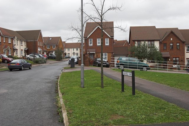
Great Ashby

Great Ashby is a civil parish in Stevenage in the North Hertfordshire district, in the county of Hertfordshire, England. The name Great Ashby was coined...
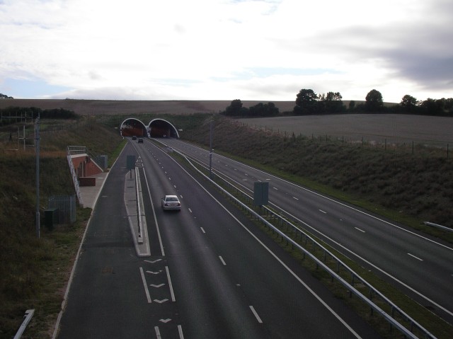
Weston Hills Tunnel

The Weston Hills Tunnel is a 230m twin road tunnel under the Weston Hills near Baldock in Hertfordshire. It was constructed as part of the A505 Baldock...

Pryor's Wood

Pryor's Wood is an 8.7-hectare (21-acre) nature reserve in Great Ashby, near Stevenage in Hertfordshire. It was formerly managed by the Herts and Middlesex...

The Traveller Movement

The Traveller Movement (TM) is a charity based in the United Kingdom that supports the Gypsy, Roma and Traveller (GRT) community and challenge discrimination...

Nearby Amenities

Located within 500m of 51.95231,-0.161599
Barrier: kissing_gate
Foot: yes
Lat/Long: 51.9537997/-0.1631485
Barrier: kissing_gate
Source: GPS
Lat/Long: 51.952364/-0.1638798
Barrier: kissing_gate
Lat/Long: 51.9494156/-0.1606682
Barrier: kissing_gate
Lat/Long: 51.9515842/-0.1615339
Barrier: kissing_gate
Lat/Long: 51.9518586/-0.1615145
Barrier: kissing_gate
Foot: yes
Source: GPS, observation
Lat/Long: 51.952091/-0.1562271
Barrier: kissing_gate
Source: GPS
Lat/Long: 51.9495309/-0.1662929
Barrier: kissing_gate
Source: GPS
Lat/Long: 51.9516297/-0.164411
Barrier: kissing_gate
Foot: yes
Lat/Long: 51.9534927/-0.1616148
Barrier: kissing_gate
Source: GPS
Lat/Long: 51.953756/-0.1631104
Barrier: kissing_gate
Foot: yes
Lat/Long: 51.9535581/-0.1616156
Barrier: kissing_gate
Lat/Long: 51.9538785/-0.1601581
Barrier: kissing_gate
Source: GPS, observation
Lat/Long: 51.9550932/-0.1616544
Barrier: kissing_gate
Foot: yes
Source: GPS, observation
Lat/Long: 51.9558406/-0.160808
Barrier: kissing_gate
Source: GPS, observation
Lat/Long: 51.9550586/-0.1617755
Barrier: kissing_gate
Source: GPS, observation
Lat/Long: 51.9543477/-0.1634909
Barrier: stile
Source: GPS, observation
Lat/Long: 51.954598/-0.1637327
Barrier: kissing_gate
Source: GPS, observation
Lat/Long: 51.9554622/-0.1638146
Barrier: kissing_gate
Foot: yes
Source: GPS, observation
Lat/Long: 51.9560514/-0.1597248
Barrier: kissing_gate
Lat/Long: 51.9542848/-0.1657417
Power: pole
Lat/Long: 51.952423/-0.1615876
Power: pole
Lat/Long: 51.9526435/-0.1632419
Material: wood
Power: pole
Lat/Long: 51.9513854/-0.1566544
Material: wood
Power: pole
Lat/Long: 51.9508407/-0.1552462
Power: pole
Lat/Long: 51.9496152/-0.1593982
Power: pole
Lat/Long: 51.9521889/-0.1598301
Material: wood
Power: pole
Lat/Long: 51.9520278/-0.1582691
Power: pole
Lat/Long: 51.9529525/-0.1648646
Material: wood
Power: pole
Lat/Long: 51.9524221/-0.1582718
Power: pole
Lat/Long: 51.9514724/-0.1587532
Power: pole
Lat/Long: 51.9505666/-0.1590094
Power: pole
Lat/Long: 51.9519147/-0.1585293
Power: pole
Lat/Long: 51.9489077/-0.1596691
Bench
Backrest: yes
Material: wood
Source: observation, GPS
Lat/Long: 51.9535898/-0.1594858
Barrier: kissing_gate
Foot: yes
Source: GPS, observation
Lat/Long: 51.9538457/-0.1600799
Note: Any previous path now seems to have been blocked off by fence at the east end of the woodland
Lat/Long: 51.9517111/-0.1615763
Leisure: picnic_table
Source: observation, GPS
Lat/Long: 51.9545296/-0.1653575
Bench
Backrest: yes
Material: wood
Source: observation, GPS
Lat/Long: 51.9544217/-0.165613
Bench
Lat/Long: 51.9537647/-0.1631868
The data included in this document is from www.openstreetmap.org. The data is made available under ODbL.

Have you been to Weston?

Leave your review of Weston below (or comments, questions and feedback).