Bottom

Valley in Hertfordshire North Hertfordshire

England

Bottom

Fishing lake near Weston Private fishing lake in the woods south of Weston at TL263296
Fishing lake near Weston Credit: Paul Dixon

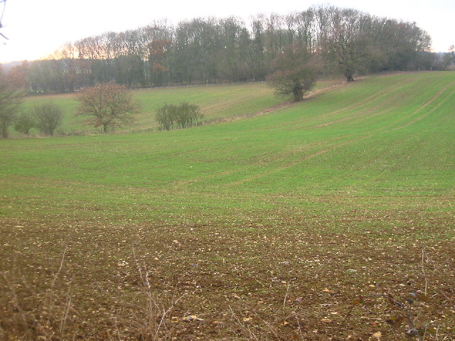
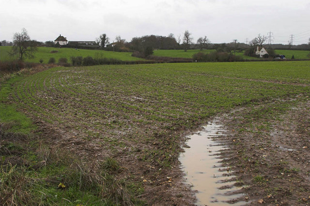
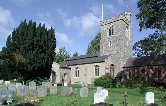
Bottom, Hertfordshire (Valley) is a small village located in the county of Hertfordshire, England. Situated in the valley of the River Beane, it is nestled amidst picturesque countryside and rolling hills. The village is part of the larger civil parish of Buntingford and lies approximately 4 miles southeast of the town center.

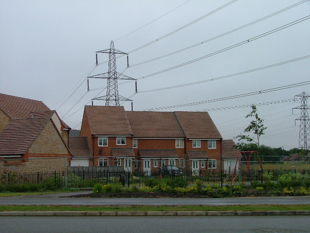
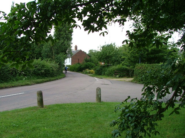
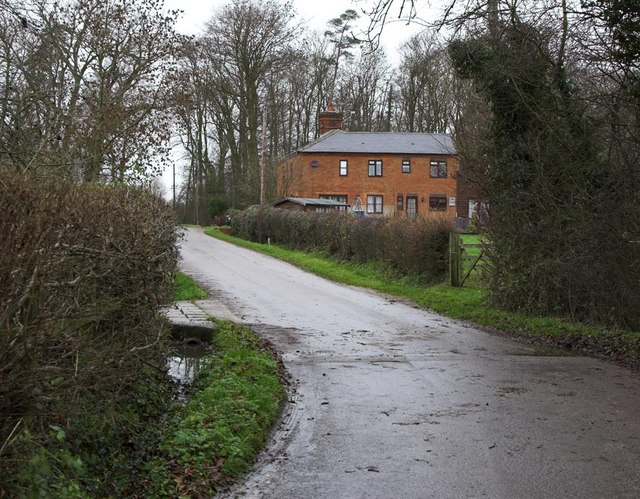
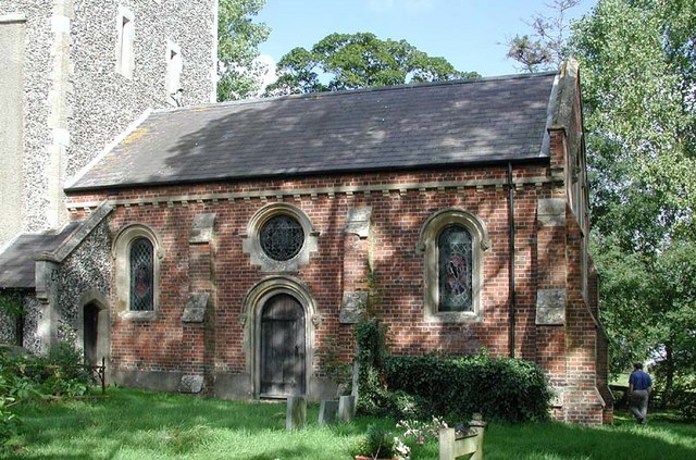
With a population of around 500 residents, Bottom retains a charming and close-knit community atmosphere. The village is characterized by its traditional English architecture, with a mix of older cottages and more modern houses. Many of the buildings feature beautiful thatched roofs, adding to the village's quaint and timeless appeal.

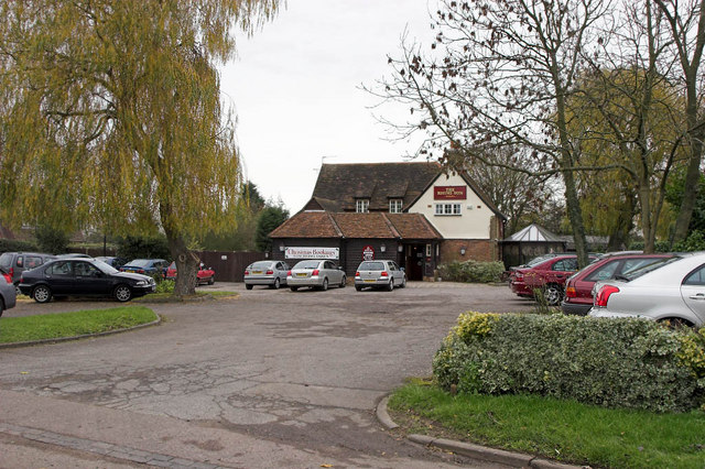
Bottom offers a range of amenities to its residents, including a local pub, a village hall, and a primary school. The village hall serves as a focal point for community events and social gatherings, hosting various activities throughout the year. The village pub, known for its warm and friendly atmosphere, is a popular spot for locals and visitors alike to enjoy a pint and sample traditional British cuisine.

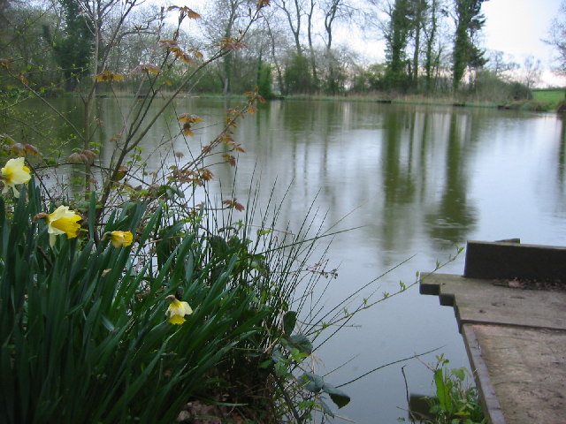
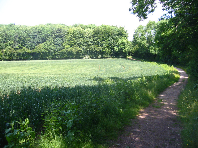
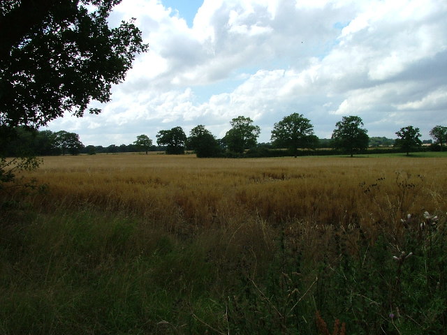
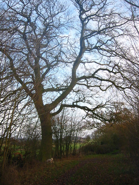
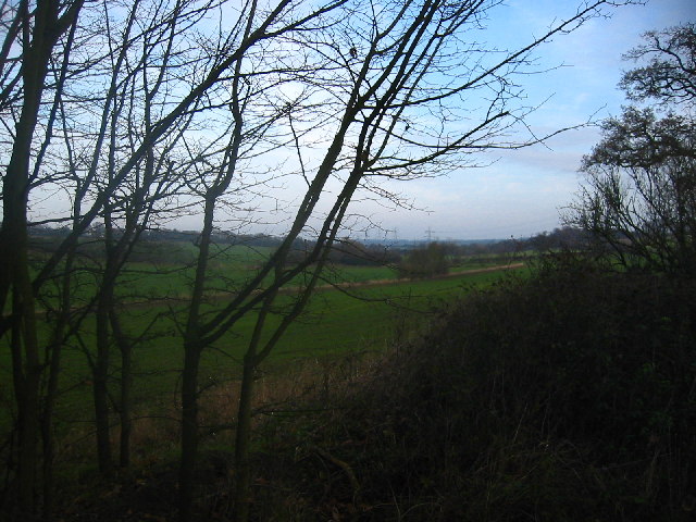
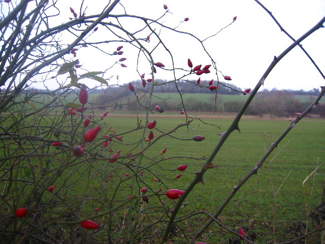
Nature enthusiasts are drawn to Bottom for its stunning natural surroundings. The River Beane, which meanders through the village, provides opportunities for peaceful walks along its banks and offers picturesque views of the surrounding countryside. The village is also located near several nature reserves and parks, providing additional recreational options for outdoor enthusiasts.

Bottom, Hertfordshire (Valley) is a charming village that offers residents a tranquil and idyllic countryside lifestyle. Its rich history, natural beauty, and strong sense of community make it an attractive place to live or visit.

If you have any feedback on the listing, please let us know in the comments section below.
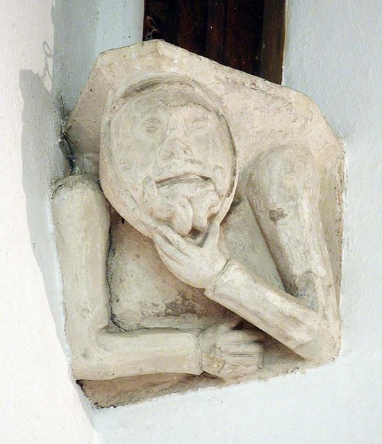
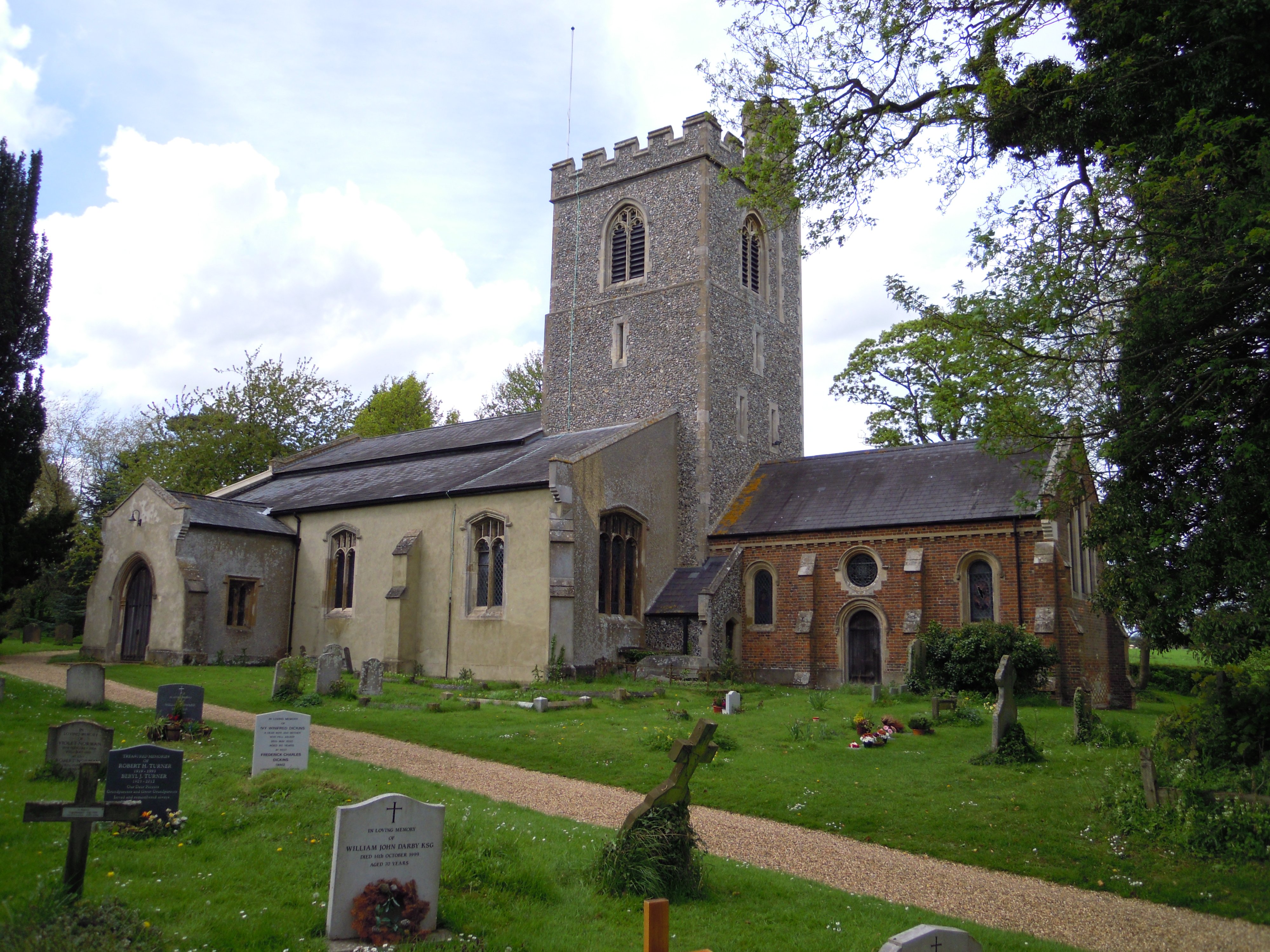
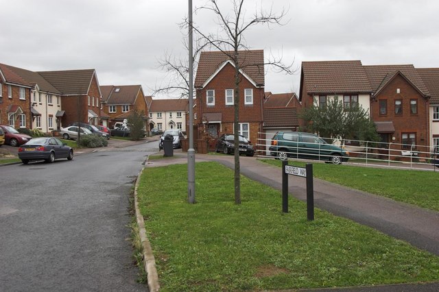
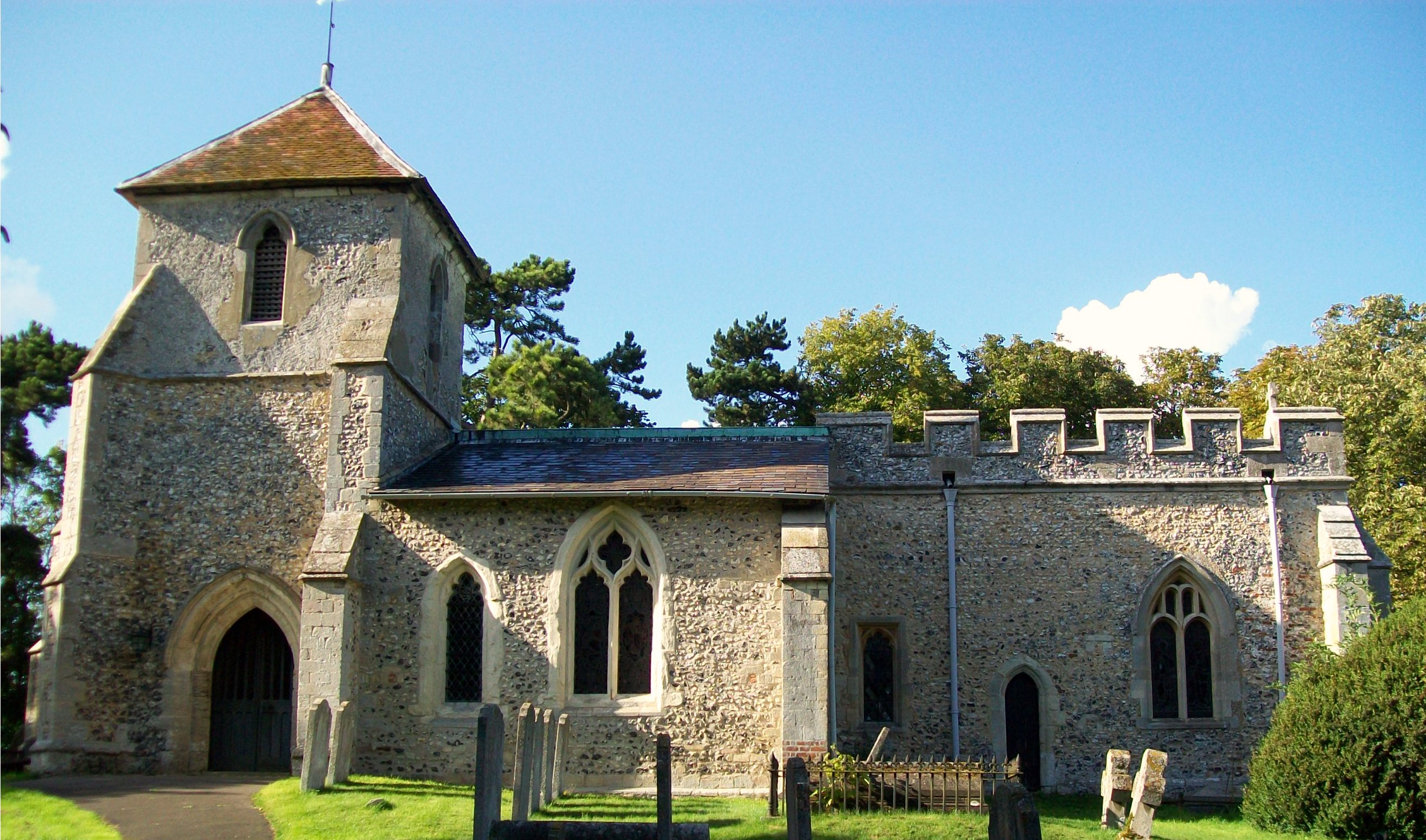
Bottom Images

Images are sourced within 2km of 51.945593/-0.16048617 or Grid Reference TL2629. Thanks to Geograph Open Source API. All images are credited.

Fishing lake near Weston Private fishing lake in the woods south of Weston at TL263296
Fishing lake near Weston
Private fishing lake in the woods south of Weston at TL263296
Stonesley and Harbourclose Woods, near Graveley Stonesley wood is in the distance, with Harbourclose Wood to the right
Stonesley and Harbourclose Woods, near Graveley
Stonesley wood is in the distance, with Harbourclose Wood to the right
Great Ashby Estate. This development started about three years ago and is still being built.  The empty space to the right will be built on sooner or later.  The pylons are of course part of the National Grid.  Why on earth are we building houses under these lines?
Great Ashby Estate.
This development started about three years ago and is still being built. The empty space to the right will be built on sooner or later. The pylons are of course part of the National Grid. Why on earth are we building houses under these lines?
Damask Green A lovely spot.
Damask Green
A lovely spot.
Fields opposite Tile Kiln Farm Typical farmland in this area.
Fields opposite Tile Kiln Farm
Typical farmland in this area.
Oak tree on Lolleywood Lane An oak tree sheds the last of its leaves on the Lolleywood Lane bridleway
Oak tree on Lolleywood Lane
An oak tree sheds the last of its leaves on the Lolleywood Lane bridleway
Looking north-east from Lolleywood Lane A view across the fields from the bridleway
Looking north-east from Lolleywood Lane
A view across the fields from the bridleway
Rosehips with Barnacks Hill Wood beyond Taken from the Lolleywood Lane bridleway looking north
Rosehips with Barnacks Hill Wood beyond
Taken from the Lolleywood Lane bridleway looking north
Barnacks Hill Wood Taken looking west from the bridleway
Barnacks Hill Wood
Taken looking west from the bridleway
Rising Sun Public House In the small Hamlet of Hall's Green can be found the Public House named the rising sun. Very popular it is too judging by the car park.
Rising Sun Public House
In the small Hamlet of Hall's Green can be found the Public House named the rising sun. Very popular it is too judging by the car park.
Dane End Dane End Farm is on the left with Dane End Cottage on the right of frame. The very wet ground can be seen in the foreground after a night of heavy rain.
Dane End
Dane End Farm is on the left with Dane End Cottage on the right of frame. The very wet ground can be seen in the foreground after a night of heavy rain.
Cottages at Warren's Green Warrens Green is made up of 4 or 5 cottages. This is an example.
Cottages at Warren's Green
Warrens Green is made up of 4 or 5 cottages. This is an example.
Great  Ashby, Stevenage Great Ashby is a very new (and still expanding) area of new housing development on the Eastern boundary of Stevenage.

The houses shown are typical of the area
Great Ashby, Stevenage
Great Ashby is a very new (and still expanding) area of new housing development on the Eastern boundary of Stevenage. The houses shown are typical of the area
Holy Trinity, Weston, Herts
Holy Trinity, Weston, Herts - Font
Holy Trinity, Weston, Herts - East end
Holy Trinity, Weston, Herts - Corbel
Show me another place!

Bottom is located at Grid Ref: TL2629 (Lat: 51.945593, Lng: -0.16048617)

Administrative County: Hertfordshire

District: North Hertfordshire

Police Authority: Hertfordshire

What 3 Words

///bumping.stubborn.majoring. Near Walkern, Hertfordshire

Related Wikis

Holy Trinity Church, Weston

Holy Trinity Church is the parish church for the village of Weston in Hertfordshire. The church building stands to the south-east of the village on high...

Weston, Hertfordshire

Weston is a village and civil parish in the North Hertfordshire district of Hertfordshire, England. It is located around 4 miles north of Stevenage, 2...

Great Ashby

Great Ashby is a civil parish in Stevenage in the North Hertfordshire district, in the county of Hertfordshire, England. The name Great Ashby was coined...

Lannock Mill, Weston

Lannock Mill is a Grade II listed tower mill at Weston, Hertfordshire, England which is derelict. == History == Lannock Mill was built in 1860. A windmill...

Clothall

Clothall is a village and civil parish in the county of Hertfordshire, England, with a population of 358. It is situated 2.25 miles (3.62 km) south-east...

Pryor's Wood

Pryor's Wood is an 8.7-hectare (21-acre) nature reserve in Great Ashby, near Stevenage in Hertfordshire. It was formerly managed by the Herts and Middlesex...

The Traveller Movement

The Traveller Movement (TM) is a charity based in the United Kingdom that supports the Gypsy, Roma and Traveller (GRT) community and challenge discrimination...

Rooks Nest House

Rooks Nest House is a house on Weston Road, Stevenage, Hertfordshire. It was the childhood home of the author E. M. Forster (1879–1970) who described it...

Nearby Amenities

Located within 500m of 51.945593,-0.16048617
Barrier: kissing_gate
Lat/Long: 51.9420558/-0.1607028
Barrier: kissing_gate
Foot: yes
Source: GPS, observation
Lat/Long: 51.9423506/-0.1611544
Barrier: kissing_gate
Lat/Long: 51.9444506/-0.1592258
Barrier: kissing_gate
Lat/Long: 51.9494156/-0.1606682
Barrier: kissing_gate
Lat/Long: 51.9456782/-0.1544363
Power: pole
Lat/Long: 51.9496152/-0.1593982
Power: pole
Lat/Long: 51.9477381/-0.1600701
Power: pole
Lat/Long: 51.9489077/-0.1596691
Power: pole
Lat/Long: 51.9463529/-0.1587962
Power: pole
Lat/Long: 51.9469652/-0.1593338
Power: pole
Lat/Long: 51.9460502/-0.1585212
The data included in this document is from www.openstreetmap.org. The data is made available under ODbL.

Have you been to Bottom?

Leave your review of Bottom below (or comments, questions and feedback).