Bottom Plantation

Wood, Forest in Hertfordshire North Hertfordshire

England

Bottom Plantation

Fishing lake near Weston Private fishing lake in the woods south of Weston at TL263296
Fishing lake near Weston Credit: Paul Dixon

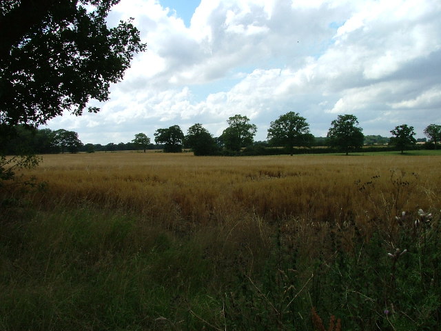
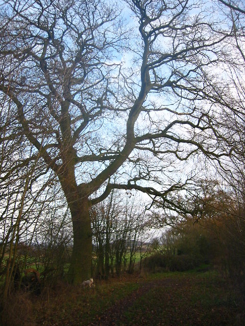
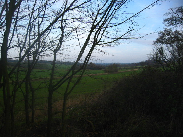
Bottom Plantation is a picturesque woodland area located in the county of Hertfordshire, England. Situated near the village of Wood, this forested region covers a sprawling area of approximately 150 acres. The plantation is renowned for its untouched natural beauty and rich biodiversity, making it a popular destination for nature enthusiasts and hikers alike.

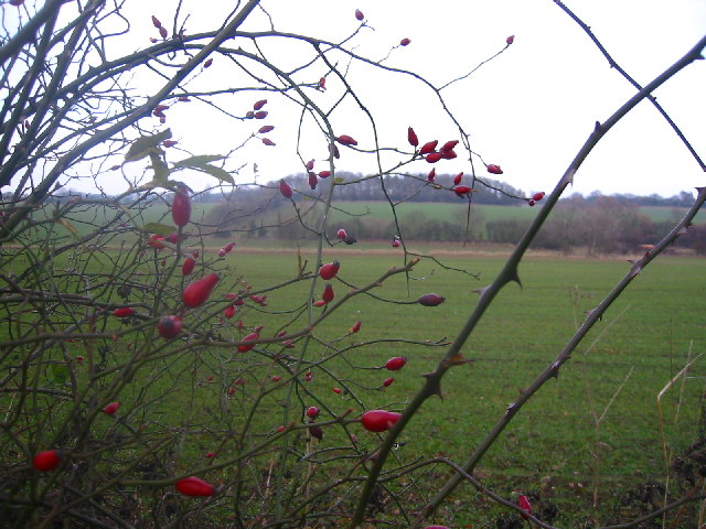
The woodland of Bottom Plantation is predominantly composed of native broadleaf trees, including oak, beech, and birch. These trees create a dense canopy overhead, casting dappled sunlight onto the forest floor below. The undergrowth is a tapestry of ferns, mosses, and wildflowers, offering a vibrant display of colors during the spring and summer months.

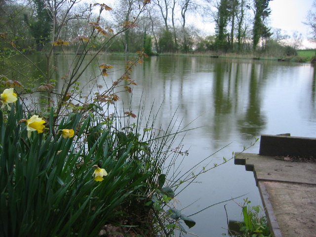
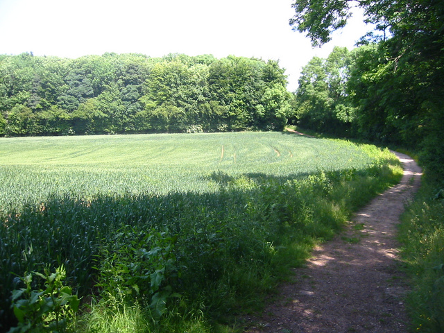
The plantation is crisscrossed by a network of well-maintained walking trails, allowing visitors to explore the area at their own pace. These trails lead to various points of interest, such as tranquil ponds and small streams, adding to the allure of the plantation. The diverse wildlife inhabiting the woodland includes deer, foxes, badgers, and a multitude of bird species, providing ample opportunities for wildlife spotting and birdwatching.

Bottom Plantation is managed by the local forestry commission, ensuring the preservation of its natural splendor. Visitors are encouraged to respect the environment and adhere to the designated paths to minimize any disruption to the delicate ecosystem. The plantation offers a serene escape from the hustle and bustle of urban life, providing a tranquil haven for nature lovers to immerse themselves in the beauty of Hertfordshire's woodlands.

If you have any feedback on the listing, please let us know in the comments section below.

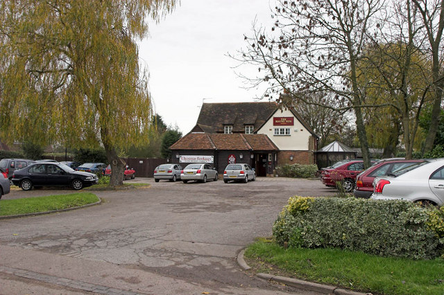
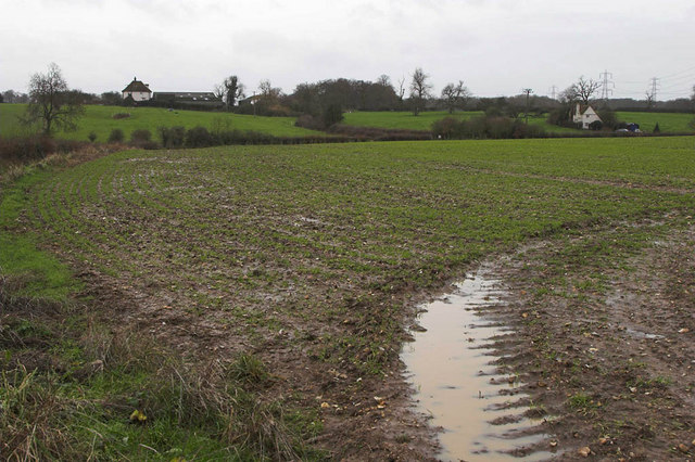
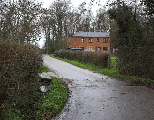
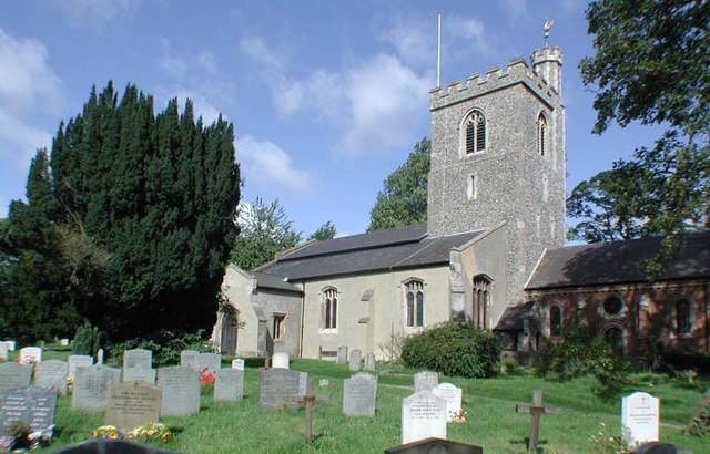
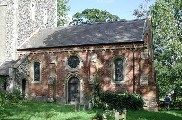
Bottom Plantation Images

Images are sourced within 2km of 51.945851/-0.16146504 or Grid Reference TL2629. Thanks to Geograph Open Source API. All images are credited.

Fishing lake near Weston Private fishing lake in the woods south of Weston at TL263296
Fishing lake near Weston
Private fishing lake in the woods south of Weston at TL263296
Stonesley and Harbourclose Woods, near Graveley Stonesley wood is in the distance, with Harbourclose Wood to the right
Stonesley and Harbourclose Woods, near Graveley
Stonesley wood is in the distance, with Harbourclose Wood to the right
Great Ashby Estate. This development started about three years ago and is still being built.  The empty space to the right will be built on sooner or later.  The pylons are of course part of the National Grid.  Why on earth are we building houses under these lines?
Great Ashby Estate.
This development started about three years ago and is still being built. The empty space to the right will be built on sooner or later. The pylons are of course part of the National Grid. Why on earth are we building houses under these lines?
Damask Green A lovely spot.
Damask Green
A lovely spot.
Fields opposite Tile Kiln Farm Typical farmland in this area.
Fields opposite Tile Kiln Farm
Typical farmland in this area.
Oak tree on Lolleywood Lane An oak tree sheds the last of its leaves on the Lolleywood Lane bridleway
Oak tree on Lolleywood Lane
An oak tree sheds the last of its leaves on the Lolleywood Lane bridleway
Looking north-east from Lolleywood Lane A view across the fields from the bridleway
Looking north-east from Lolleywood Lane
A view across the fields from the bridleway
Rosehips with Barnacks Hill Wood beyond Taken from the Lolleywood Lane bridleway looking north
Rosehips with Barnacks Hill Wood beyond
Taken from the Lolleywood Lane bridleway looking north
Rising Sun Public House In the small Hamlet of Hall's Green can be found the Public House named the rising sun. Very popular it is too judging by the car park.
Rising Sun Public House
In the small Hamlet of Hall's Green can be found the Public House named the rising sun. Very popular it is too judging by the car park.
Dane End Dane End Farm is on the left with Dane End Cottage on the right of frame. The very wet ground can be seen in the foreground after a night of heavy rain.
Dane End
Dane End Farm is on the left with Dane End Cottage on the right of frame. The very wet ground can be seen in the foreground after a night of heavy rain.
Cottages at Warren's Green Warrens Green is made up of 4 or 5 cottages. This is an example.
Cottages at Warren's Green
Warrens Green is made up of 4 or 5 cottages. This is an example.
Great  Ashby, Stevenage Great Ashby is a very new (and still expanding) area of new housing development on the Eastern boundary of Stevenage.

The houses shown are typical of the area
Great Ashby, Stevenage
Great Ashby is a very new (and still expanding) area of new housing development on the Eastern boundary of Stevenage. The houses shown are typical of the area
Holy Trinity, Weston, Herts
Holy Trinity, Weston, Herts - Font
Holy Trinity, Weston, Herts - East end
Holy Trinity, Weston, Herts - Corbel
Show me another place!

Bottom Plantation is located at Grid Ref: TL2629 (Lat: 51.945851, Lng: -0.16146504)

Administrative County: Hertfordshire

District: North Hertfordshire

Police Authority: Hertfordshire

What 3 Words

///apart.motivations.weary. Near Walkern, Hertfordshire

Related Wikis

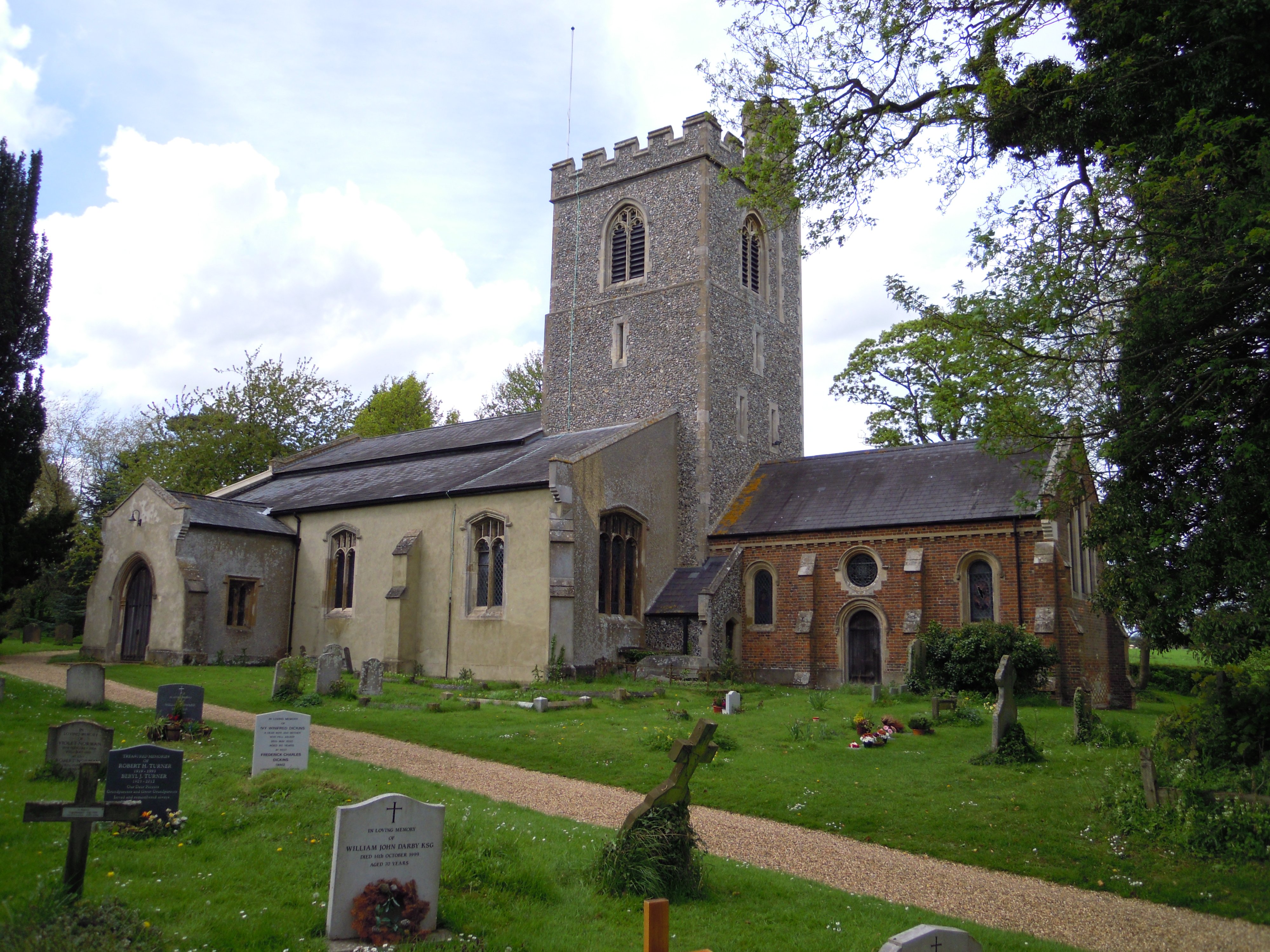
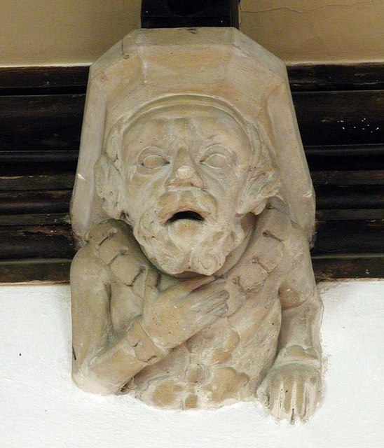
Holy Trinity Church, Weston

Holy Trinity Church is the parish church for the village of Weston in Hertfordshire. The church building stands to the south-east of the village on high...

Weston, Hertfordshire

Weston is a village and civil parish in the North Hertfordshire district of Hertfordshire, England. It is located around 4 miles north of Stevenage, 2...
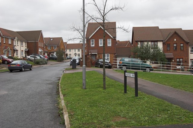
Great Ashby

Great Ashby is a civil parish in Stevenage in the North Hertfordshire district, in the county of Hertfordshire, England. The name Great Ashby was coined...

Lannock Mill, Weston

Lannock Mill is a Grade II listed tower mill at Weston, Hertfordshire, England which is derelict. == History == Lannock Mill was built in 1860. A windmill...

Nearby Amenities

Located within 500m of 51.945851,-0.16146504
Barrier: kissing_gate
Lat/Long: 51.9420558/-0.1607028
Barrier: kissing_gate
Foot: yes
Source: GPS, observation
Lat/Long: 51.9423506/-0.1611544
Barrier: kissing_gate
Source: GPS, observation
Lat/Long: 51.9467877/-0.1681184
Barrier: kissing_gate
Lat/Long: 51.9444506/-0.1592258
Barrier: kissing_gate
Lat/Long: 51.9494156/-0.1606682
Barrier: kissing_gate
Lat/Long: 51.9456782/-0.1544363
Power: pole
Lat/Long: 51.9496152/-0.1593982
Power: pole
Lat/Long: 51.9477381/-0.1600701
Power: pole
Lat/Long: 51.9489077/-0.1596691
Power: pole
Lat/Long: 51.9463529/-0.1587962
Power: pole
Lat/Long: 51.9469652/-0.1593338
Power: pole
Lat/Long: 51.9460502/-0.1585212
The data included in this document is from www.openstreetmap.org. The data is made available under ODbL.

Have you been to Bottom Plantation?

Leave your review of Bottom Plantation below (or comments, questions and feedback).