Westbere

Civil Parish in Kent Canterbury

England

Westbere

Pastureland
Pastureland Credit: N Chadwick

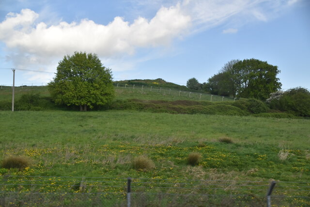
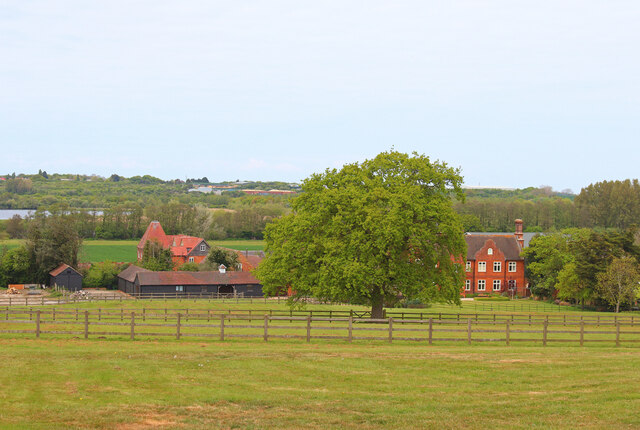
Westbere is a civil parish located in the county of Kent, in southeastern England. It covers an area of approximately 4.5 square kilometers and is situated about 4 miles to the northwest of the city of Canterbury. The parish is predominantly rural and is surrounded by picturesque countryside, with the Great Stour River running through its eastern side.

The village of Westbere, after which the parish is named, is a small and charming settlement with a population of around 400 residents. It is characterized by its traditional architecture, including a beautiful Norman church dedicated to St. Mary the Virgin. The church, dating back to the 12th century, is a significant historical landmark and attracts visitors interested in its rich heritage.

The surrounding area offers a range of outdoor activities, with numerous walking and cycling routes available for exploration. Westbere Lakes Nature Reserve, located to the north of the village, provides a haven for wildlife enthusiasts, offering opportunities for birdwatching and nature photography.

While primarily a residential area, Westbere offers limited amenities, with a local pub serving as the social hub of the community. For more extensive facilities, residents can easily access the nearby city of Canterbury, where they can find a wide range of shops, restaurants, and entertainment options.

Overall, Westbere is a peaceful and idyllic parish that appeals to those seeking a rural lifestyle while still benefiting from proximity to larger towns and cities.

If you have any feedback on the listing, please let us know in the comments section below.
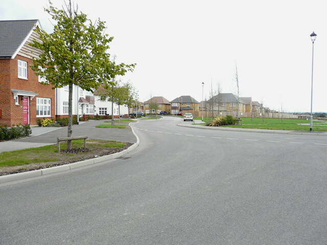
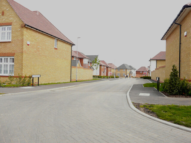
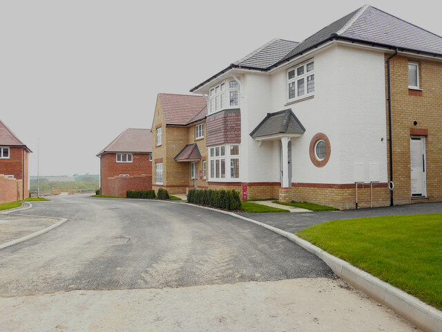
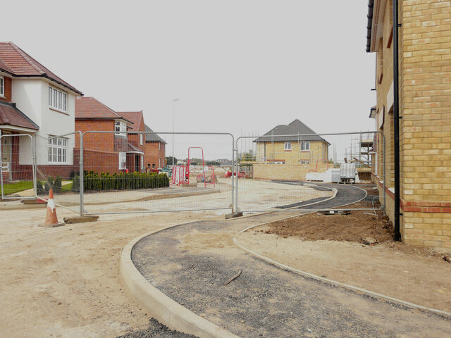
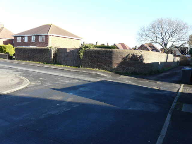
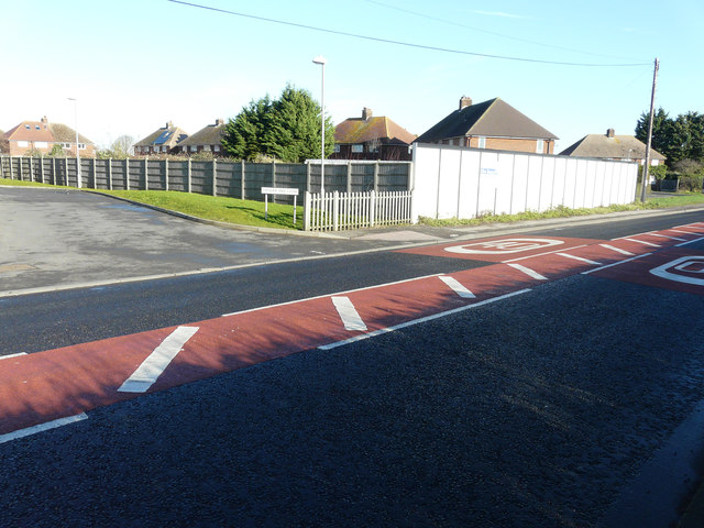
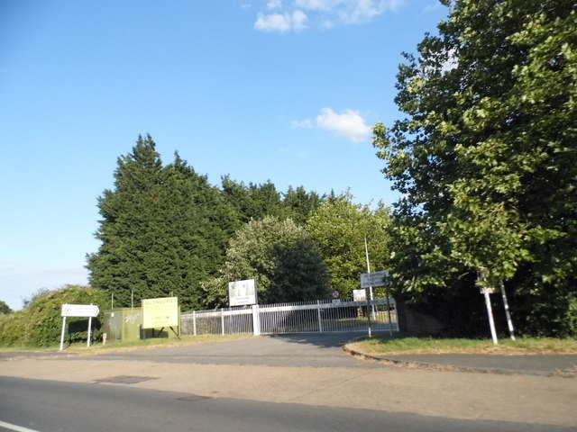
Westbere Images

Images are sourced within 2km of 51.3066/1.152197 or Grid Reference TR1961. Thanks to Geograph Open Source API. All images are credited.

Pastureland
Pastureland
Black Horse Lane Part of a housing estate called The Hoplands for which planning permission has been granted by Canterbury City Council under application number CA//16/00404. 

An  “outline planning application for a neighbourhood extension for the creation of up to 250 houses including affordable housing, neighbourhood centre (comprising Class A1 food store (400sq.m), Class D1 medical centre (380sq.m), Class D1 dentist (150sq.m), Class A1 pharmacy (150sq.m), Class D1 nursery (120sq.m) and Class A1 convenience retail (360sq.m)), commercial estate (comprising Class B1 business floorspace (up to 5572sq.m), Class D1 apprenticeship centre (616sq.m) and Class D1/D2 community building (up to 672sq.m)), parish parkland and associated access, parking, amenity space and landscaping”.
Black Horse Lane
Part of a housing estate called The Hoplands for which planning permission has been granted by Canterbury City Council under application number CA//16/00404. An “outline planning application for a neighbourhood extension for the creation of up to 250 houses including affordable housing, neighbourhood centre (comprising Class A1 food store (400sq.m), Class D1 medical centre (380sq.m), Class D1 dentist (150sq.m), Class A1 pharmacy (150sq.m), Class D1 nursery (120sq.m) and Class A1 convenience retail (360sq.m)), commercial estate (comprising Class B1 business floorspace (up to 5572sq.m), Class D1 apprenticeship centre (616sq.m) and Class D1/D2 community building (up to 672sq.m)), parish parkland and associated access, parking, amenity space and landscaping”.
Black Horse Lane Part of a housing estate called The Hoplands for which planning permission has been granted by Canterbury City Council under application number CA//16/00404. An  “outline planning application for a neighbourhood extension for the creation of up to 250 houses including affordable housing, neighbourhood centre (comprising Class A1 food store (400sq.m), Class D1 medical centre (380sq.m), Class D1 dentist (150sq.m), Class A1 pharmacy (150sq.m), Class D1 nursery (120sq.m) and Class A1 convenience retail (360sq.m)), commercial estate (comprising Class B1 business floorspace (up to 5572sq.m), Class D1 apprenticeship centre (616sq.m) and Class D1/D2 community building (up to 672sq.m)), parish parkland and associated access, parking, amenity space and landscaping”.

The road is one of the furthest parts of this length of <a href="https://www.geograph.org.uk/photo/7309735">TR2061 : Black Horse Lane</a>.
Black Horse Lane
Part of a housing estate called The Hoplands for which planning permission has been granted by Canterbury City Council under application number CA//16/00404. An “outline planning application for a neighbourhood extension for the creation of up to 250 houses including affordable housing, neighbourhood centre (comprising Class A1 food store (400sq.m), Class D1 medical centre (380sq.m), Class D1 dentist (150sq.m), Class A1 pharmacy (150sq.m), Class D1 nursery (120sq.m) and Class A1 convenience retail (360sq.m)), commercial estate (comprising Class B1 business floorspace (up to 5572sq.m), Class D1 apprenticeship centre (616sq.m) and Class D1/D2 community building (up to 672sq.m)), parish parkland and associated access, parking, amenity space and landscaping”. The road is one of the furthest parts of this length of TR2061 : Black Horse Lane.
Longwall Lane Part of a housing estate called The Hoplands for which planning permission has been granted by Canterbury City Council under application number CA//16/00404. An  “outline planning application for a neighbourhood extension for the creation of up to 250 houses including affordable housing, neighbourhood centre (comprising Class A1 food store (400sq.m), Class D1 medical centre (380sq.m), Class D1 dentist (150sq.m), Class A1 pharmacy (150sq.m), Class D1 nursery (120sq.m) and Class A1 convenience retail (360sq.m)), commercial estate (comprising Class B1 business floorspace (up to 5572sq.m), Class D1 apprenticeship centre (616sq.m) and Class D1/D2 community building (up to 672sq.m)), parish parkland and associated access, parking, amenity space and landscaping”.

A similar view of <a href="https://www.geograph.org.uk/photo/6935546">TR2061 : Longwall Lane</a> was taken in July 2021.
Longwall Lane
Part of a housing estate called The Hoplands for which planning permission has been granted by Canterbury City Council under application number CA//16/00404. An “outline planning application for a neighbourhood extension for the creation of up to 250 houses including affordable housing, neighbourhood centre (comprising Class A1 food store (400sq.m), Class D1 medical centre (380sq.m), Class D1 dentist (150sq.m), Class A1 pharmacy (150sq.m), Class D1 nursery (120sq.m) and Class A1 convenience retail (360sq.m)), commercial estate (comprising Class B1 business floorspace (up to 5572sq.m), Class D1 apprenticeship centre (616sq.m) and Class D1/D2 community building (up to 672sq.m)), parish parkland and associated access, parking, amenity space and landscaping”. A similar view of TR2061 : Longwall Lane was taken in July 2021.
Lakehill Road Part of a housing estate called The Hoplands for which planning permission has been granted by Canterbury City Council under application number CA//16/00404.
Lakehill Road
Part of a housing estate called The Hoplands for which planning permission has been granted by Canterbury City Council under application number CA//16/00404.
Unnamed Road Part of a housing estate called The Hoplands for which planning permission has been granted by Canterbury City Council under application number CA//16/00404.
Unnamed Road
Part of a housing estate called The Hoplands for which planning permission has been granted by Canterbury City Council under application number CA//16/00404.
Stodmarsh Court Farm Farm near Stodmarsh.
Stodmarsh Court Farm
Farm near Stodmarsh.
A28 Island Road, Hersden Towards Margate.
A28 Island Road, Hersden
Towards Margate.
A28 Island Road, Hersden Towards Margate.
A28 Island Road, Hersden
Towards Margate.
Roundabout on A28 Serving industrial parks off to the right.
Roundabout on A28
Serving industrial parks off to the right.
Land adjacent to 11, The Elms Planning permission has been granted by Canterbury City Council under application number CA//15/01035 for the erection of “two residential dwellings with associated parking and amenity space”. Number 11 is to the left of the wall.

A terrace of three houses, numbered <a href="https://www.geograph.org.uk/photo/6934681">TR2062 : 13-17, The Elms</a>, were built on the site.
Land adjacent to 11, The Elms
Planning permission has been granted by Canterbury City Council under application number CA//15/01035 for the erection of “two residential dwellings with associated parking and amenity space”. Number 11 is to the left of the wall. A terrace of three houses, numbered TR2062 : 13-17, The Elms, were built on the site.
Elliefred, Ash Crescent Planning permission has been granted by Canterbury City Council under application number CA//10/01343 for the “erection of detached dwelling (revised scheme)”. The site is described as land adjoining 2 Ash Crescent.

This is how <a href="https://www.geograph.org.uk/photo/6936534">TR2062 : Elliefred, Ash Crescent</a> looked after completion
Elliefred, Ash Crescent
Planning permission has been granted by Canterbury City Council under application number CA//10/01343 for the “erection of detached dwelling (revised scheme)”. The site is described as land adjoining 2 Ash Crescent. This is how TR2062 : Elliefred, Ash Crescent looked after completion
Hoarding, Island Road (A28) Planning permission has been granted by Canterbury City Council under application number CA//14/01386 for a “proposed residential development consisting of 10 one bed flats, together with access and parking”. The location was described as land between The Sycamores and Chequer Tree Close, Island Road. The road sign, for Chequer Tree Close, can be seen to the left of the hoarding.
Hoarding, Island Road (A28)
Planning permission has been granted by Canterbury City Council under application number CA//14/01386 for a “proposed residential development consisting of 10 one bed flats, together with access and parking”. The location was described as land between The Sycamores and Chequer Tree Close, Island Road. The road sign, for Chequer Tree Close, can be seen to the left of the hoarding.
Hoplands Farm Planning permission has been granted by Canterbury City Council under application number CA//16/00404 for “outline planning application for a neighbourhood extension for the creation of up to 250 houses including affordable housing, neighbourhood centre (comprising Class A1 foodstore (400sq.m), Class D1 medical centre (380sq.m), Class D1 dentist (150sq.m), Class A1 pharmacy (150sq.m), Class D1 nursery (120sq.m) and Class A1 convenience retail (360sq.m)), commercial estate (comprising Class B1 business floorspace (up to 5572sq.m), Class D1 apprenticeship centre (616sq.m) and Class D1/D2 community building (up to 672sq.m)), parish parkland and associated access, parking, amenity space and landscaping”. This view was taken from beside a bus stop shelter.
Hoplands Farm
Planning permission has been granted by Canterbury City Council under application number CA//16/00404 for “outline planning application for a neighbourhood extension for the creation of up to 250 houses including affordable housing, neighbourhood centre (comprising Class A1 foodstore (400sq.m), Class D1 medical centre (380sq.m), Class D1 dentist (150sq.m), Class A1 pharmacy (150sq.m), Class D1 nursery (120sq.m) and Class A1 convenience retail (360sq.m)), commercial estate (comprising Class B1 business floorspace (up to 5572sq.m), Class D1 apprenticeship centre (616sq.m) and Class D1/D2 community building (up to 672sq.m)), parish parkland and associated access, parking, amenity space and landscaping”. This view was taken from beside a bus stop shelter.
House on Island Road, Hersden
Entrance to the Canterbury vehicle testing station
Show me another place!

Westbere is located at Grid Ref: TR1961 (Lat: 51.3066, Lng: 1.152197)

Administrative County: Kent

District: Canterbury

Police Authority: Kent

What 3 Words

///shuttle.handbook.beaks. Near Sturry, Kent

Related Wikis

Spires Academy

The Spires Academy is a non-selective secondary school for pupils aged 11–16 in Canterbury, Kent. There is a sixth form. The school has dual specialist...

Frank Montgomery School

The Frank Montgomery School was a mixed-gender secondary modern school in the village of Sturry near Canterbury in east Kent. It was founded in 1935 and...

Westbere

Westbere is a small village and civil parish in Kent, England, centred 4 miles (6.4 km) north-east of Canterbury city centre along the A28 road to the...

Chislet Colliery Halt railway station

Chislet Colliery Halt was a minor station on the Ashford to Ramsgate line. It opened in September 1919 and closed in 1971. == History == Chislet Colliery...

Nearby Amenities

Located within 500m of 51.3066,1.152197
Public Bookcase
Booth: K6
Disused Amenity: telephone
Listed Status: Grade II
Lit: yes
Man Made: telephone_box
Opening Hours: 24/7
Public Bookcase Type: phone_box
Lat/Long: 51.3062691/1.1469891
Post Box
Collection Times: Mo-Fr 09:00; Sa 07:00
Post Box Type: wall
Postal Code: CT2
Ref: CT2 41D
Royal Cypher: EIIR
Royal Cypher Wikidata: Q33102113
Source: survey
Lat/Long: 51.3060692/1.1456357
Crossing: uncontrolled
Crossing Barrier: no
Crossing Chicane: yes
Railway: crossing
Lat/Long: 51.3068126/1.1534374
Crossing: uncontrolled
Crossing Barrier: no
Crossing Chicane: yes
Railway: crossing
Lat/Long: 51.3068466/1.1534018
Westbere Marshes
Place: locality
Lat/Long: 51.3049152/1.1584525
Waste Basket
Lat/Long: 51.306291/1.146981
Board Type: history;notice
Description: Westbere Heritage Trail and local notices
Information: board
Tourism: information
Lat/Long: 51.3063128/1.1469783
Generator Method: photovoltaic
Generator Output Electricity: yes
Generator Solar Modules: 14
Generator Source: solar
Generator Type: solar_photovoltaic_panel
Location: roof
Power: generator
Lat/Long: 51.3059624/1.1477038
Generator Method: photovoltaic
Generator Output Electricity: yes
Generator Source: solar
Generator Type: solar_photovoltaic_panel
Location: roof
Power: generator
Lat/Long: 51.306649/1.1485809
The data included in this document is from www.openstreetmap.org. The data is made available under ODbL.

Have you been to Westbere?

Leave your review of Westbere below (or comments, questions and feedback).