Bushy Close Wood

Wood, Forest in Kent Canterbury

England

Bushy Close Wood

Pastureland
Pastureland Credit: N Chadwick

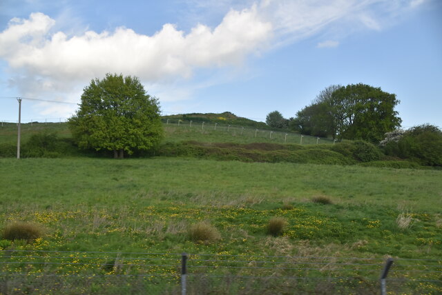
Bushy Close Wood is a picturesque woodland located in the county of Kent, England. Situated near the village of Cranbrook, it covers an area of approximately 30 acres and forms part of the wider Bedgebury Forest complex. The woodland is predominantly composed of native broadleaf trees, including oak, beech, and ash, which create a rich and diverse habitat for a variety of wildlife.

The woodland is known for its dense canopy, which provides a cool and tranquil atmosphere, making it a popular destination for nature enthusiasts and walkers. The forest floor is covered with a thick carpet of leaf litter, creating a magical setting during the autumn months when the leaves change color.

Bushy Close Wood is home to a wide range of bird species, including woodpeckers, nuthatches, and tawny owls, which can often be heard and spotted among the trees. The woodland also supports a diverse population of mammals, such as squirrels, deer, and badgers, which thrive in the undisturbed environment.

Visitors to Bushy Close Wood can explore a network of well-maintained footpaths and trails that wind through the trees, providing opportunities for both casual strolls and longer hikes. The wood is managed by the Forestry Commission, which ensures the conservation of the natural environment while also providing recreational facilities for the public.

Overall, Bushy Close Wood is a hidden gem in the Kent countryside, offering a peaceful retreat for those seeking solace in nature. Whether it's birdwatching, photography, or simply enjoying a peaceful walk, this enchanting woodland is a must-visit destination for nature lovers.

If you have any feedback on the listing, please let us know in the comments section below.

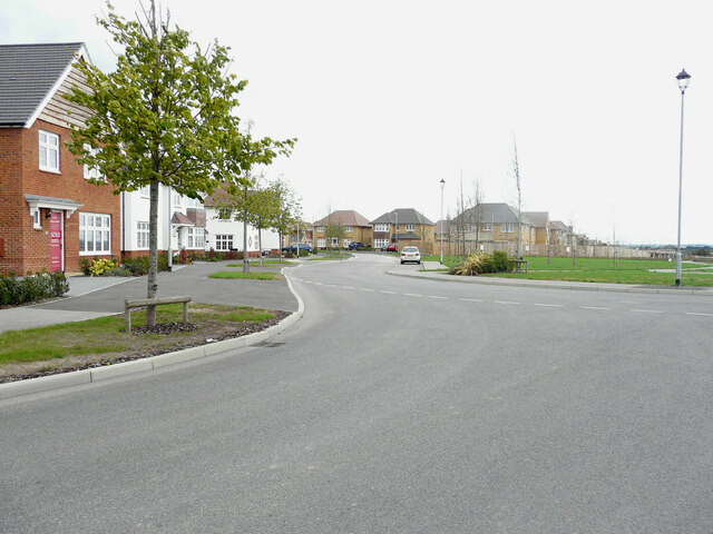
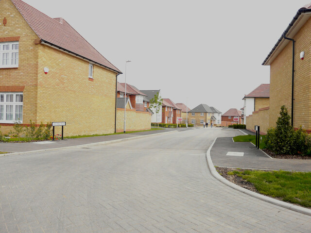
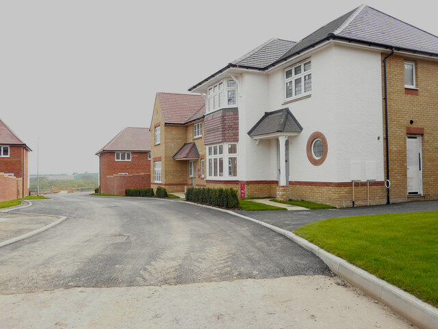
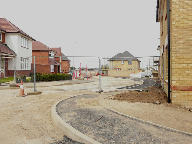
Bushy Close Wood Images

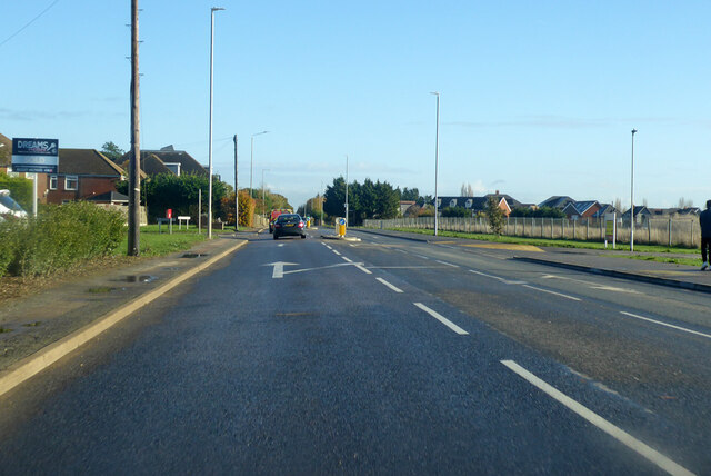
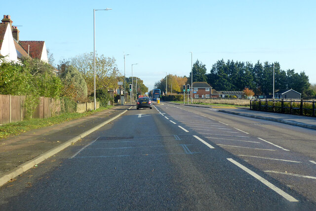
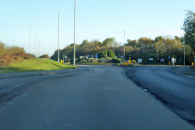
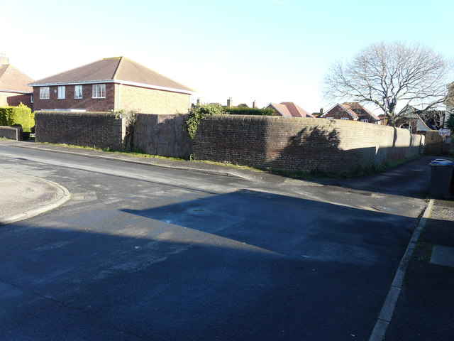
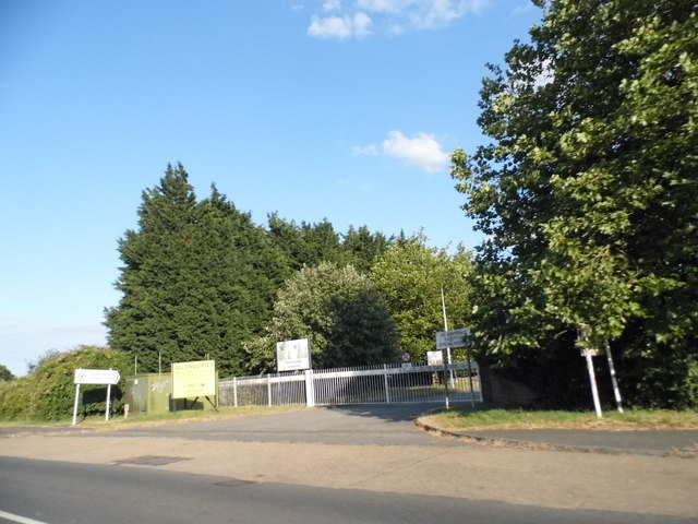
Images are sourced within 2km of 51.311136/1.1519725 or Grid Reference TR1961. Thanks to Geograph Open Source API. All images are credited.

Pastureland
Pastureland
Black Horse Lane Part of a housing estate called The Hoplands for which planning permission has been granted by Canterbury City Council under application number CA//16/00404. 

An  “outline planning application for a neighbourhood extension for the creation of up to 250 houses including affordable housing, neighbourhood centre (comprising Class A1 food store (400sq.m), Class D1 medical centre (380sq.m), Class D1 dentist (150sq.m), Class A1 pharmacy (150sq.m), Class D1 nursery (120sq.m) and Class A1 convenience retail (360sq.m)), commercial estate (comprising Class B1 business floorspace (up to 5572sq.m), Class D1 apprenticeship centre (616sq.m) and Class D1/D2 community building (up to 672sq.m)), parish parkland and associated access, parking, amenity space and landscaping”.
Black Horse Lane
Part of a housing estate called The Hoplands for which planning permission has been granted by Canterbury City Council under application number CA//16/00404. An “outline planning application for a neighbourhood extension for the creation of up to 250 houses including affordable housing, neighbourhood centre (comprising Class A1 food store (400sq.m), Class D1 medical centre (380sq.m), Class D1 dentist (150sq.m), Class A1 pharmacy (150sq.m), Class D1 nursery (120sq.m) and Class A1 convenience retail (360sq.m)), commercial estate (comprising Class B1 business floorspace (up to 5572sq.m), Class D1 apprenticeship centre (616sq.m) and Class D1/D2 community building (up to 672sq.m)), parish parkland and associated access, parking, amenity space and landscaping”.
Black Horse Lane Part of a housing estate called The Hoplands for which planning permission has been granted by Canterbury City Council under application number CA//16/00404. An  “outline planning application for a neighbourhood extension for the creation of up to 250 houses including affordable housing, neighbourhood centre (comprising Class A1 food store (400sq.m), Class D1 medical centre (380sq.m), Class D1 dentist (150sq.m), Class A1 pharmacy (150sq.m), Class D1 nursery (120sq.m) and Class A1 convenience retail (360sq.m)), commercial estate (comprising Class B1 business floorspace (up to 5572sq.m), Class D1 apprenticeship centre (616sq.m) and Class D1/D2 community building (up to 672sq.m)), parish parkland and associated access, parking, amenity space and landscaping”.

The road is one of the furthest parts of this length of <a href="https://www.geograph.org.uk/photo/7309735">TR2061 : Black Horse Lane</a>.
Black Horse Lane
Part of a housing estate called The Hoplands for which planning permission has been granted by Canterbury City Council under application number CA//16/00404. An “outline planning application for a neighbourhood extension for the creation of up to 250 houses including affordable housing, neighbourhood centre (comprising Class A1 food store (400sq.m), Class D1 medical centre (380sq.m), Class D1 dentist (150sq.m), Class A1 pharmacy (150sq.m), Class D1 nursery (120sq.m) and Class A1 convenience retail (360sq.m)), commercial estate (comprising Class B1 business floorspace (up to 5572sq.m), Class D1 apprenticeship centre (616sq.m) and Class D1/D2 community building (up to 672sq.m)), parish parkland and associated access, parking, amenity space and landscaping”. The road is one of the furthest parts of this length of TR2061 : Black Horse Lane.
Longwall Lane Part of a housing estate called The Hoplands for which planning permission has been granted by Canterbury City Council under application number CA//16/00404. An  “outline planning application for a neighbourhood extension for the creation of up to 250 houses including affordable housing, neighbourhood centre (comprising Class A1 food store (400sq.m), Class D1 medical centre (380sq.m), Class D1 dentist (150sq.m), Class A1 pharmacy (150sq.m), Class D1 nursery (120sq.m) and Class A1 convenience retail (360sq.m)), commercial estate (comprising Class B1 business floorspace (up to 5572sq.m), Class D1 apprenticeship centre (616sq.m) and Class D1/D2 community building (up to 672sq.m)), parish parkland and associated access, parking, amenity space and landscaping”.

A similar view of <a href="https://www.geograph.org.uk/photo/6935546">TR2061 : Longwall Lane</a> was taken in July 2021.
Longwall Lane
Part of a housing estate called The Hoplands for which planning permission has been granted by Canterbury City Council under application number CA//16/00404. An “outline planning application for a neighbourhood extension for the creation of up to 250 houses including affordable housing, neighbourhood centre (comprising Class A1 food store (400sq.m), Class D1 medical centre (380sq.m), Class D1 dentist (150sq.m), Class A1 pharmacy (150sq.m), Class D1 nursery (120sq.m) and Class A1 convenience retail (360sq.m)), commercial estate (comprising Class B1 business floorspace (up to 5572sq.m), Class D1 apprenticeship centre (616sq.m) and Class D1/D2 community building (up to 672sq.m)), parish parkland and associated access, parking, amenity space and landscaping”. A similar view of TR2061 : Longwall Lane was taken in July 2021.
Lakehill Road Part of a housing estate called The Hoplands for which planning permission has been granted by Canterbury City Council under application number CA//16/00404.
Lakehill Road
Part of a housing estate called The Hoplands for which planning permission has been granted by Canterbury City Council under application number CA//16/00404.
Unnamed Road Part of a housing estate called The Hoplands for which planning permission has been granted by Canterbury City Council under application number CA//16/00404.
Unnamed Road
Part of a housing estate called The Hoplands for which planning permission has been granted by Canterbury City Council under application number CA//16/00404.
A28 Island Road, Hersden Towards Margate.
A28 Island Road, Hersden
Towards Margate.
A28 Island Road, Hersden Towards Margate.
A28 Island Road, Hersden
Towards Margate.
Roundabout on A28 Serving industrial parks off to the right.
Roundabout on A28
Serving industrial parks off to the right.
Land adjacent to 11, The Elms Planning permission has been granted by Canterbury City Council under application number CA//15/01035 for the erection of “two residential dwellings with associated parking and amenity space”. Number 11 is to the left of the wall.

A terrace of three houses, numbered <a href="https://www.geograph.org.uk/photo/6934681">TR2062 : 13-17, The Elms</a>, were built on the site.
Land adjacent to 11, The Elms
Planning permission has been granted by Canterbury City Council under application number CA//15/01035 for the erection of “two residential dwellings with associated parking and amenity space”. Number 11 is to the left of the wall. A terrace of three houses, numbered TR2062 : 13-17, The Elms, were built on the site.
Elliefred, Ash Crescent Planning permission has been granted by Canterbury City Council under application number CA//10/01343 for the “erection of detached dwelling (revised scheme)”. The site is described as land adjoining 2 Ash Crescent.

This is how <a href="https://www.geograph.org.uk/photo/6936534">TR2062 : Elliefred, Ash Crescent</a> looked after completion
Elliefred, Ash Crescent
Planning permission has been granted by Canterbury City Council under application number CA//10/01343 for the “erection of detached dwelling (revised scheme)”. The site is described as land adjoining 2 Ash Crescent. This is how TR2062 : Elliefred, Ash Crescent looked after completion
Hoarding, Island Road (A28) Planning permission has been granted by Canterbury City Council under application number CA//14/01386 for a “proposed residential development consisting of 10 one bed flats, together with access and parking”. The location was described as land between The Sycamores and Chequer Tree Close, Island Road. The road sign, for Chequer Tree Close, can be seen to the left of the hoarding.
Hoarding, Island Road (A28)
Planning permission has been granted by Canterbury City Council under application number CA//14/01386 for a “proposed residential development consisting of 10 one bed flats, together with access and parking”. The location was described as land between The Sycamores and Chequer Tree Close, Island Road. The road sign, for Chequer Tree Close, can be seen to the left of the hoarding.
Hoplands Farm Planning permission has been granted by Canterbury City Council under application number CA//16/00404 for “outline planning application for a neighbourhood extension for the creation of up to 250 houses including affordable housing, neighbourhood centre (comprising Class A1 foodstore (400sq.m), Class D1 medical centre (380sq.m), Class D1 dentist (150sq.m), Class A1 pharmacy (150sq.m), Class D1 nursery (120sq.m) and Class A1 convenience retail (360sq.m)), commercial estate (comprising Class B1 business floorspace (up to 5572sq.m), Class D1 apprenticeship centre (616sq.m) and Class D1/D2 community building (up to 672sq.m)), parish parkland and associated access, parking, amenity space and landscaping”. This view was taken from beside a bus stop shelter.
Hoplands Farm
Planning permission has been granted by Canterbury City Council under application number CA//16/00404 for “outline planning application for a neighbourhood extension for the creation of up to 250 houses including affordable housing, neighbourhood centre (comprising Class A1 foodstore (400sq.m), Class D1 medical centre (380sq.m), Class D1 dentist (150sq.m), Class A1 pharmacy (150sq.m), Class D1 nursery (120sq.m) and Class A1 convenience retail (360sq.m)), commercial estate (comprising Class B1 business floorspace (up to 5572sq.m), Class D1 apprenticeship centre (616sq.m) and Class D1/D2 community building (up to 672sq.m)), parish parkland and associated access, parking, amenity space and landscaping”. This view was taken from beside a bus stop shelter.
House on Island Road, Hersden
Entrance to the Canterbury vehicle testing station
Island Road, Hersden
Show me another place!

Bushy Close Wood is located at Grid Ref: TR1961 (Lat: 51.311136, Lng: 1.1519725)

Administrative County: Kent

District: Canterbury

Police Authority: Kent

What 3 Words

///clauses.reverted.fled. Near Sturry, Kent

Related Wikis

Frank Montgomery School

The Frank Montgomery School was a mixed-gender secondary modern school in the village of Sturry near Canterbury in east Kent. It was founded in 1935 and...

Spires Academy

The Spires Academy is a non-selective secondary school for pupils aged 11–16 in Canterbury, Kent. There is a sixth form. The school has dual specialist...

Hersden

Hersden is a village east of Canterbury in Kent, South East England. It was established as a planned coalmining village in the 1920s and is on the A28...

Westbere

Westbere is a small village and civil parish in Kent, England, centred 4 miles (6.4 km) north-east of Canterbury city centre along the A28 road to the...

Nearby Amenities

Located within 500m of 51.311136,1.1519725
Post Box
Postal Code: CT2
Ref: CT2 236
Source: survey
Lat/Long: 51.3109411/1.1491993
Crossing
Crossing: traffic_signals
Crossing Island: no
Crossing Ref: pelican
Tactile Paving: yes
Lat/Long: 51.3109384/1.1493947
Crossing
Crossing: traffic_signals
Crossing Ref: toucan
Tactile Paving: yes
Lat/Long: 51.3127345/1.1559386
Mini Roundabout
Direction: clockwise
Lat/Long: 51.3133465/1.1547358
Traffic Calming: table
Lat/Long: 51.3138206/1.1544011
Traffic Calming: choker
Lat/Long: 51.3132486/1.1544317
Traffic Calming: table
Lat/Long: 51.3140106/1.1535815
Traffic Calming: table
Lat/Long: 51.3138573/1.1562224
Bus Stop
Chislet Gardens
Bench: yes
Bin: no
Flag: yes
Local Ref: adj
Naptan AtcoCode: 2400100214
Naptan Bearing: NE
Naptan BusStopType: MKD
Naptan CommonName: Chislet Gardens
Naptan Indicator: adj
Naptan Landmark: Blackthorne Road
Naptan NaptanCode: kntgtgwm
Naptan RevisionNumber: 3
Naptan Status: act
Naptan Street: Island Road
Naptan Verified: no
Public Transport: platform
Ref: kntgtgwm
Shelter: yes
Source: naptan_import
Source Date: 2013-12-31
Tactile Paving: no
Lat/Long: 51.3130894/1.1572654
Bus Stop
Chislet Gardens
Bench: yes
Bin: yes
Local Ref: opp
Naptan AtcoCode: 2400100216
Naptan Bearing: SW
Naptan BusStopType: MKD
Naptan CommonName: Chislet Gardens
Naptan Indicator: opp
Naptan Landmark: Blackthorne Road
Naptan NaptanCode: kntgwdpg
Naptan RevisionNumber: 2
Naptan Status: act
Naptan Street: Island Road
Naptan Verified: yes
Public Transport: platform
Ref: kntgwdpg
Shelter: yes
Source: naptan_import
Source Date: 2013-12-31
Lat/Long: 51.312717/1.1562509
Bus Stop
Bredlands Lane
Bench: yes
Bin: no
Bus: yes
Flag: yes
Naptan AtcoCode: 2400A040040A
Naptan Bearing: NE
Naptan CommonName: Bredlands Lane
Naptan Indicator: adj
Naptan Landmark: Spires Academy
Naptan NaptanCode: kntdptjw
Naptan Street: Island Road
Naptan Verified: yes
Public Transport: platform
Shelter: yes
Source: naptan_import
Lat/Long: 51.3110914/1.1498667
Bus Stop
Bredlands Lane
Bench: yes
Bus: yes
Fixme: Approximate location
Naptan AtcoCode: 2400A040190A
Naptan Bearing: SW
Naptan CommonName: Bredlands Lane
Naptan Indicator: opp
Naptan Landmark: Spires Academy
Naptan NaptanCode: kntdptwa
Naptan Street: Island Road
Naptan Verified: yes
Public Transport: platform
Shelter: yes
Source: naptan_import
Lat/Long: 51.3110761/1.1502166
Bicycle Parking
Access: destination
Bicycle Parking: stands
Capacity: 60
Covered: yes
Fixme: Verify location.
Source: Guess based upon view from Bredlands Lane.
Lat/Long: 51.3118022/1.1501855
Crossing: uncontrolled
Crossing Barrier: no
Crossing Chicane: yes
Railway: crossing
Lat/Long: 51.3068126/1.1534374
Crossing: uncontrolled
Crossing Barrier: no
Crossing Chicane: yes
Railway: crossing
Lat/Long: 51.3068466/1.1534018
Traffic Calming: table
Lat/Long: 51.3135509/1.1545889
Traffic Calming: table;choker
Lat/Long: 51.3141633/1.1564161
Traffic Calming: table
Lat/Long: 51.3146905/1.1532812
Crossing
Crossing: uncontrolled
Crossing Markings: yes
Lat/Long: 51.3115079/1.1508031
Generator Method: photovoltaic
Generator Source: solar
Generator Type: solar_photovoltaic_panel
Location: roof
Power: generator
Lat/Long: 51.3142992/1.1538045
Generator Method: photovoltaic
Generator Solar Modules: 8
Generator Source: solar
Generator Type: solar_photovoltaic_panel
Location: roof
Power: generator
Lat/Long: 51.3144429/1.1566609
Generator Method: photovoltaic
Generator Solar Modules: 8
Generator Source: solar
Generator Type: solar_photovoltaic_panel
Location: roof
Power: generator
Lat/Long: 51.3144681/1.156736
Generator Method: photovoltaic
Generator Source: solar
Generator Type: solar_photovoltaic_panel
Location: roof
Power: generator
Lat/Long: 51.3143126/1.1538447
Generator Method: photovoltaic
Generator Output Electricity: yes
Generator Solar Modules: 8
Generator Source: solar
Generator Type: solar_photovoltaic_panel
Location: roof
Power: generator
Lat/Long: 51.3130892/1.1565082
Generator Method: photovoltaic
Generator Output Electricity: yes
Generator Solar Modules: 12
Generator Source: solar
Generator Type: solar_photovoltaic_panel
Location: roof
Power: generator
Lat/Long: 51.3135946/1.1532881
Generator Method: photovoltaic
Generator Output Electricity: yes
Generator Source: solar
Generator Type: solar_photovoltaic_panel
Location: roof
Power: generator
Lat/Long: 51.314082/1.1533096
Generator Method: photovoltaic
Generator Output Electricity: yes
Generator Source: solar
Generator Type: solar_photovoltaic_panel
Location: roof
Power: generator
Lat/Long: 51.3140837/1.1533686
Generator Method: photovoltaic
Generator Output Electricity: yes
Generator Solar Modules: 14
Generator Source: solar
Generator Type: solar_photovoltaic_panel
Location: roof
Power: generator
Lat/Long: 51.3136902/1.1537012
Crossing
Crossing: zebra
Crossing Island: no
Lat/Long: 51.3113604/1.1490091
Crossing
Tactile Paving: yes
Lat/Long: 51.3123749/1.1477991
Barrier: bollard
Lat/Long: 51.3128026/1.1578047
Traffic Calming: table
Lat/Long: 51.3117745/1.157495
Entrance: main
Lat/Long: 51.311932/1.1507895
Barrier: bollard
Material: wood
Lat/Long: 51.3107431/1.1586266
Bench
Backrest: yes
Material: wood
Lat/Long: 51.312678/1.1570942
Bench
Backrest: yes
Material: wood
Lat/Long: 51.3126549/1.1563935
Leisure: playground
Lat/Long: 51.3128255/1.1575583
Leisure: playground
Lat/Long: 51.3127123/1.1569025
Crossing
Tactile Paving: yes
Lat/Long: 51.3115375/1.1485415
Traffic Calming: table
Lat/Long: 51.3122059/1.1471195
The data included in this document is from www.openstreetmap.org. The data is made available under ODbL.

Have you been to Bushy Close Wood?

Leave your review of Bushy Close Wood below (or comments, questions and feedback).