West End

Civil Parish in Hampshire Eastleigh

England

West End

M27 gantry East of Moorgreen Road bridge
M27 gantry Credit: John Firth

West End is a civil parish located in the county of Hampshire, in southern England. It is situated approximately 5 miles east of Southampton and is part of the Borough of Eastleigh. The parish covers an area of around 6.5 square miles and has a population of approximately 6,000 residents.

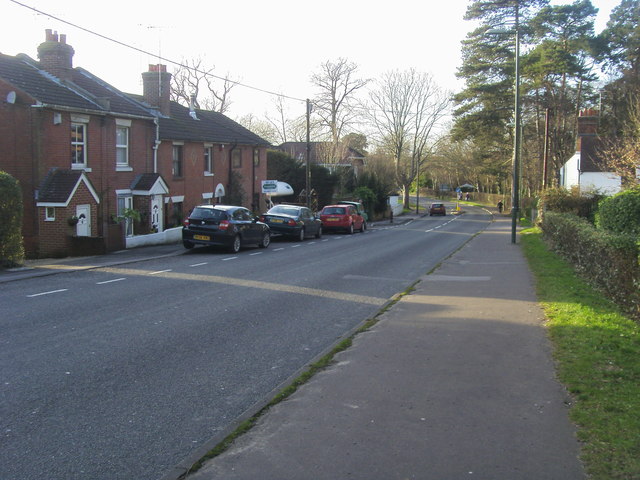
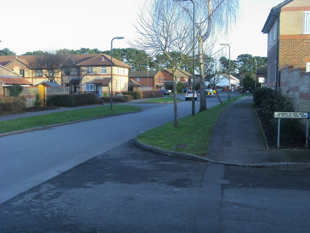
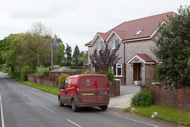
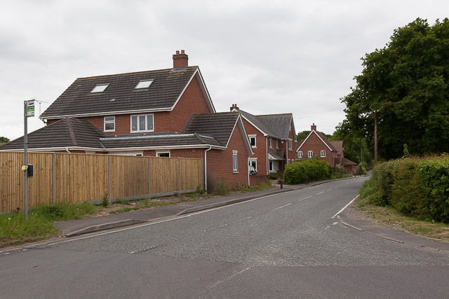
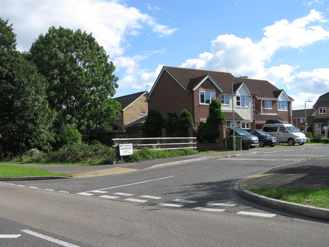
West End is predominantly a residential area, with a mix of housing types including detached houses, semi-detached houses, and apartments. The parish is known for its pleasant suburban environment and is popular with families and professionals looking for a tranquil place to live.

The area benefits from a range of amenities and facilities, including a variety of shops, restaurants, and pubs, providing residents with easy access to everyday essentials and leisure activities. There are also several schools in the area, contributing to the family-friendly atmosphere.

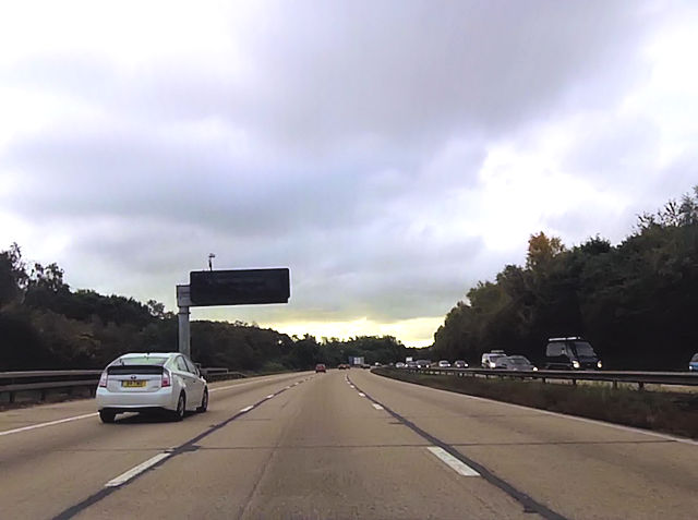
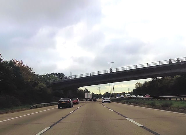
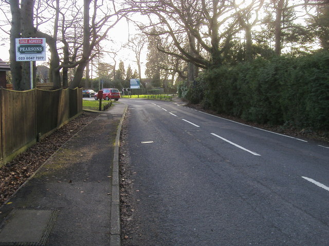
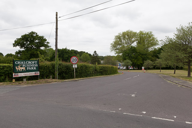
West End is surrounded by beautiful countryside, offering residents plenty of opportunities for outdoor activities. Nearby attractions include Itchen Valley Country Park and Southampton Common, both of which are perfect for walking, cycling, and picnicking. The parish is also well-connected to the rest of Hampshire, with good transport links to Southampton and other nearby towns and cities.

Overall, West End is a peaceful and picturesque civil parish in Hampshire, offering a high quality of life for its residents. With its convenient location and range of amenities, it is a desirable place to live for those seeking a balance between suburban living and access to nature.

If you have any feedback on the listing, please let us know in the comments section below.
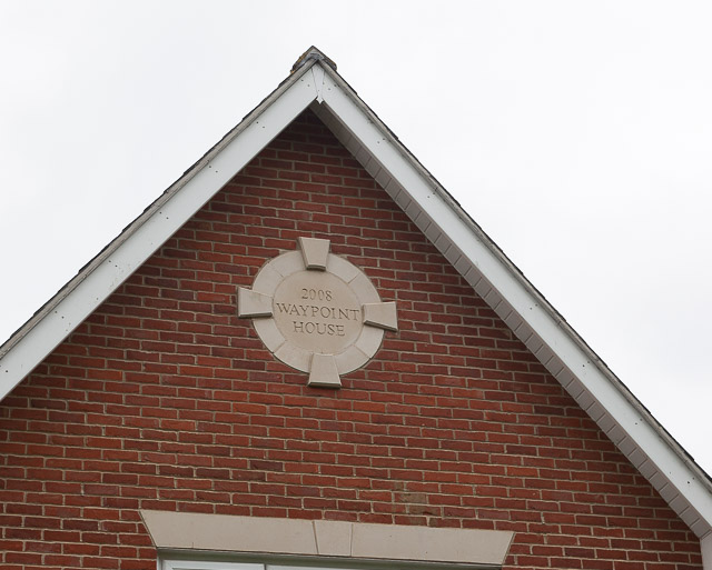
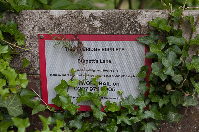
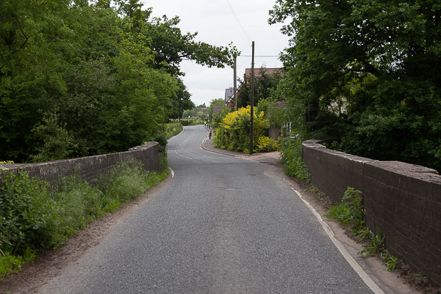
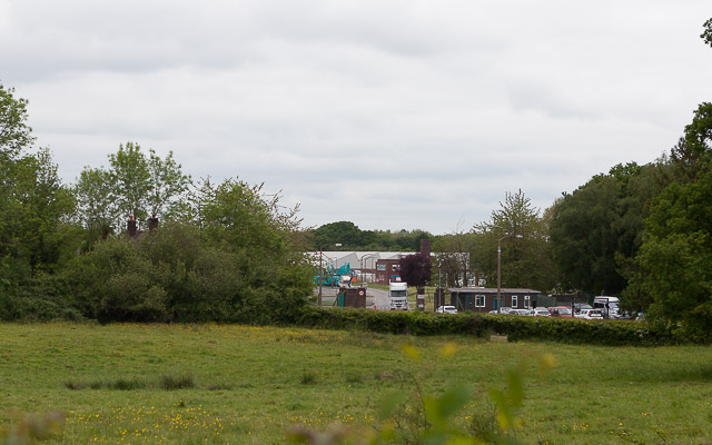
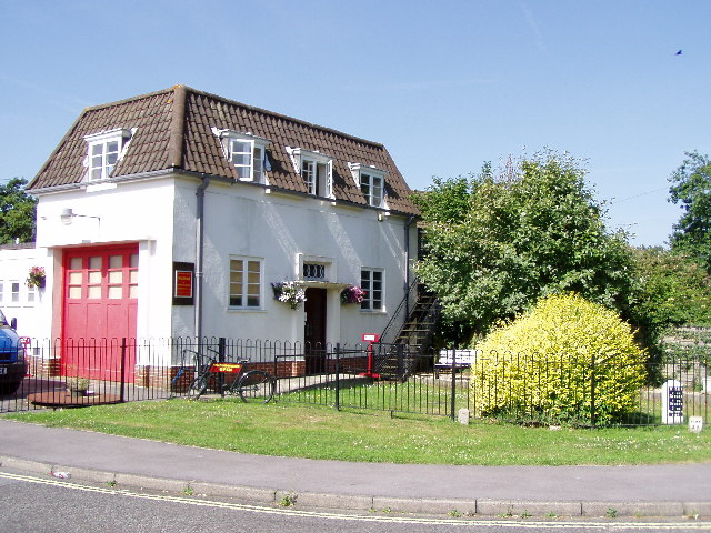
West End Images

Images are sourced within 2km of 50.936738/-1.327389 or Grid Reference SU4715. Thanks to Geograph Open Source API. All images are credited.

M27 gantry East of Moorgreen Road bridge
M27 gantry
East of Moorgreen Road bridge
Botley Road bridge over M27
High Street High Street (B3035) heading down to the A27
High Street
High Street (B3035) heading down to the A27
Chalk Hill Chalk Hill junction with West End Road
Chalk Hill
Chalk Hill junction with West End Road
Atalantic Park View Atalantic Park View leading to Townhill Way
Atalantic Park View
Atalantic Park View leading to Townhill Way
2016: a year on Geograph (Day 55) I was stumped for a photo today until I passed The Ageas (née Rose) Bowl. <span class="nowrap"><a title="https://en.wikipedia.org/wiki/Rose_Bowl_(cricket_ground)" rel="nofollow ugc noopener" href="https://en.wikipedia.org/wiki/Rose_Bowl_(cricket_ground)">Link</a><img style="margin-left:2px;" alt="External link" title="External link - shift click to open in new window" src="https://s1.geograph.org.uk/img/external.png" width="10" height="10"/></span>
2016: a year on Geograph (Day 55)
I was stumped for a photo today until I passed The Ageas (née Rose) Bowl. LinkExternal link
A load of bullocks on Chalcroft Farm The sign says "Construction site keep out" but I think this is left over from the year 2012 when Chalcroft Solar Park (seen in distance) was built. Chalcroft Farm is the base of Owtons, a well known local butchers (<span class="nowrap"><a title="www.owtons.com" rel="nofollow ugc noopener" href="http://www.owtons.com">Link</a><img style="margin-left:2px;" alt="External link" title="External link - shift click to open in new window" src="https://s1.geograph.org.uk/img/external.png" width="10" height="10"/></span> ). There are bullocks everywhere on this farm, understandably, but I gave up walking the footpaths here and decided to keep to the road. I would not advise walking the paths hereabouts with a dog.
A load of bullocks on Chalcroft Farm
The sign says "Construction site keep out" but I think this is left over from the year 2012 when Chalcroft Solar Park (seen in distance) was built. Chalcroft Farm is the base of Owtons, a well known local butchers (LinkExternal link ). There are bullocks everywhere on this farm, understandably, but I gave up walking the footpaths here and decided to keep to the road. I would not advise walking the paths hereabouts with a dog.
Chalcroft Solar Park In its farmland setting. Seen from private road (public footpath) to Owtons butchers.
Chalcroft Solar Park
In its farmland setting. Seen from private road (public footpath) to Owtons butchers.
Longways House, Burnetts Lane I don't know if the EU flag is always there, or if it is in honour of the forthcoming referendum on June 23rd 2016 to decide if Britain wishes to remain in or leave the European Union.
Longways House, Burnetts Lane
I don't know if the EU flag is always there, or if it is in honour of the forthcoming referendum on June 23rd 2016 to decide if Britain wishes to remain in or leave the European Union.
Entrance to Chalcroft Business Park Which is well secluded.
Entrance to Chalcroft Business Park
Which is well secluded.
Date plaque on Waypoint House One of four detached houses built in 2008 along Burnetts Lane immediately north of the railway bridge. For context see <a href="https://www.geograph.org.uk/photo/4968839">SU4815 : Detached houses on Burnetts Lane</a>
Date plaque on Waypoint House
One of four detached houses built in 2008 along Burnetts Lane immediately north of the railway bridge. For context see SU4815 : Detached houses on Burnetts Lane
Detached houses on Burnetts Lane A group of four built in 2008 north of the railway bridge. See also <a href="https://www.geograph.org.uk/photo/4968830">SU4815 : Date plaque on Waypoint House</a>
Detached houses on Burnetts Lane
A group of four built in 2008 north of the railway bridge. See also SU4815 : Date plaque on Waypoint House
Bridge E13/9 ETF Burnett's Lane Network Rail's sign on railway bridge. For wider view of this bridge see <a href="https://www.geograph.org.uk/photo/4969437">SU4815 : Bridge taking Burnetts Lane over the railway</a>
Bridge E13/9 ETF Burnett's Lane
Network Rail's sign on railway bridge. For wider view of this bridge see SU4815 : Bridge taking Burnetts Lane over the railway
Bridge taking Burnetts Lane over the railway See also <a href="https://www.geograph.org.uk/photo/4969435">SU4815 : Bridge E13/9 ETF Burnett's Lane</a>
Bridge taking Burnetts Lane over the railway
Chalcroft Distribution Park This well secluded business park runs beside the railway line and is almost surrounded by trees. I presume the land was originally part of Chalcroft Farm, but an Eastleigh Borough Council planning document states "Chalcroft Distribution Park is an industrial site established sometime in the first half of the 20th century as a rail distribution park. It now serves as a road haulage distribution centre". This is all I can see of it from Burnetts Lane. The older house whose chimneys are glimpsed in the trees front left is intriguingly marked on the OS map as "married quarters". <span class="nowrap"><a title="http://www.chalcroft.com/" rel="nofollow ugc noopener" href="http://www.chalcroft.com/">Link</a><img style="margin-left:2px;" alt="External link" title="External link - shift click to open in new window" src="https://s1.geograph.org.uk/img/external.png" width="10" height="10"/></span>
Chalcroft Distribution Park
This well secluded business park runs beside the railway line and is almost surrounded by trees. I presume the land was originally part of Chalcroft Farm, but an Eastleigh Borough Council planning document states "Chalcroft Distribution Park is an industrial site established sometime in the first half of the 20th century as a rail distribution park. It now serves as a road haulage distribution centre". This is all I can see of it from Burnetts Lane. The older house whose chimneys are glimpsed in the trees front left is intriguingly marked on the OS map as "married quarters". LinkExternal link
Britannia Gardens, Hedge End
Maunsell Way, Hedge End
Bridge repairs, Allington Lane
Show me another place!

West End is located at Grid Ref: SU4715 (Lat: 50.936738, Lng: -1.327389)

Administrative County: Hampshire

District: Eastleigh

Police Authority: Hampshire

What 3 Words

///march.tall.case. Near West End, Hampshire

Nearby Locations

West End Home Covert

Related Wikis

Eastleigh (UK Parliament constituency)

Eastleigh is a constituency represented in the House of Commons of the UK Parliament since 2019 by Paul Holmes, a Conservative. == Constituency profile... ==
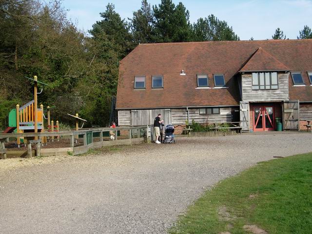
Moorgreen Hospital

Moorgreen Hospital was a community hospital in West End, near Southampton. It was managed by Southampton City Primary Care Trust. == History == The hospital...
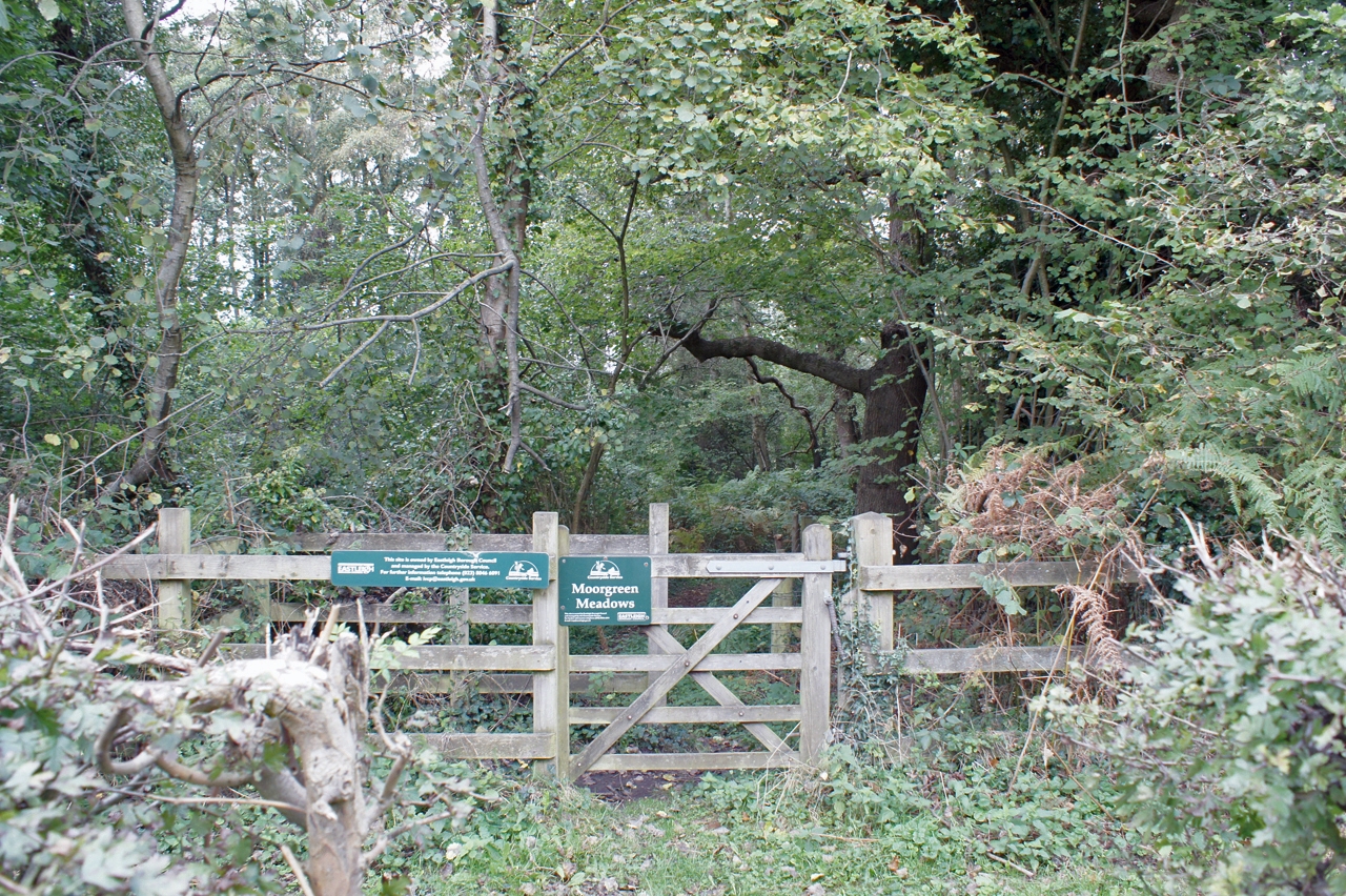
Moorgreen Meadows

Moorgreen Meadows is a 14.3-hectare (35-acre) biological Site of Special Scientific Interest in Southampton in Hampshire.These meadows are important for...

Itchen Valley Country Park

Itchen Valley Country Park is a country park in West End, Hampshire, England. As the name suggests, the River Itchen runs through the park, which covers...

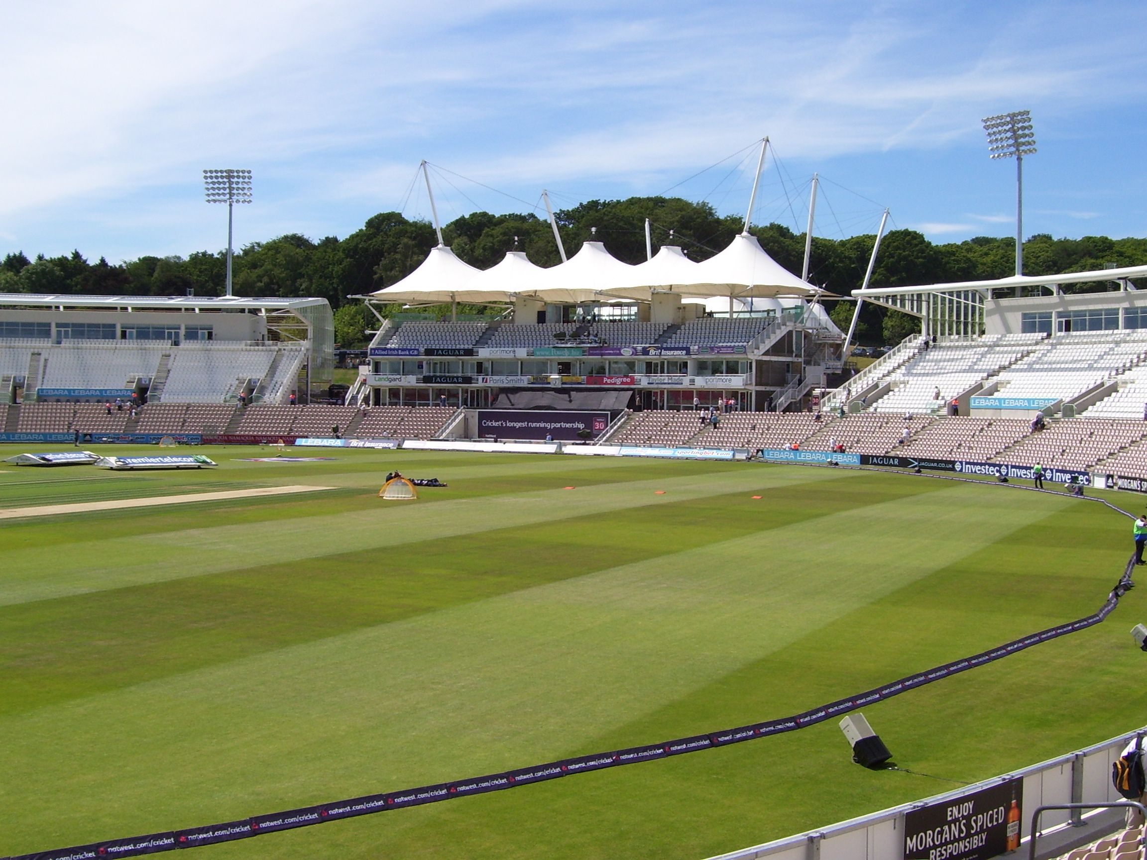
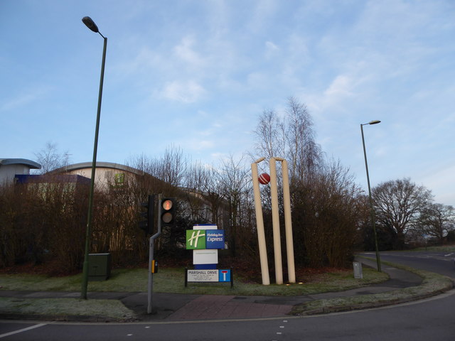
Rose Bowl (cricket ground)

The Rose Bowl, known for sponsorship reasons as Ageas Bowl is a cricket ground and hotel complex in West End, Hampshire. It is the home of Hampshire County...

St James' Church, West End

St James' Church in West End, Hampshire is an Anglican parish church in the Borough of Eastleigh. The church building is grade II listed. == History... ==

Allington, Hampshire

Allington is a small settlement in the Borough of Eastleigh, Hampshire, England, located at the northern extremity of the civil parish of West End. �...

West End, Hampshire

West End is a parish in Hampshire in the borough of Eastleigh, five miles (8.0 km) east of the city of Southampton. The village of West End is small and...

Nearby Amenities

Located within 500m of 50.936738,-1.327389
Odbl: clean
Lat/Long: 50.9344749/-1.3283489
Created By: Potlatch 0.8b
Man Made: tower
Lat/Long: 50.9351957/-1.3303777
Odbl: clean
Lat/Long: 50.9350389/-1.3321086
Barrier: cycle_barrier
Lat/Long: 50.9324454/-1.3292814
Generator Method: photovoltaic
Generator Output Electricity: yes
Generator Source: solar
Generator Type: solar_photovoltaic_panel
Location: roof
Power: generator
Lat/Long: 50.9323314/-1.3263994
Generator Method: photovoltaic
Generator Output Electricity: yes
Generator Source: solar
Generator Type: solar_photovoltaic_panel
Location: roof
Power: generator
Lat/Long: 50.9334741/-1.3283949
The data included in this document is from www.openstreetmap.org. The data is made available under ODbL.

Have you been to West End?

Leave your review of West End below (or comments, questions and feedback).