West Drayton
Civil Parish in Nottinghamshire Bassetlaw
England
West Drayton
West Drayton is a civil parish located in the county of Nottinghamshire, in the East Midlands region of England. It is situated approximately 12 miles southwest of Nottingham city centre. The parish covers an area of around 3 square miles and is home to a population of about 500 residents.
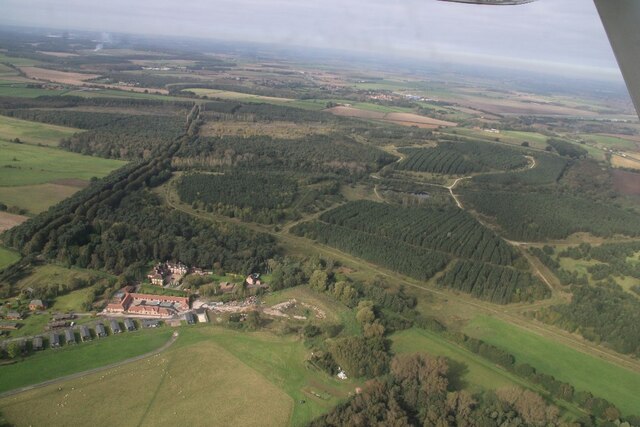
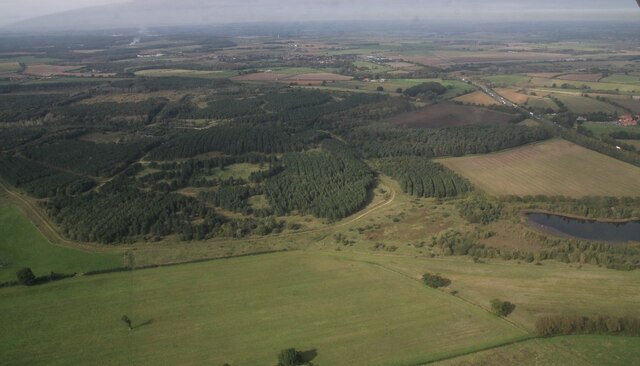
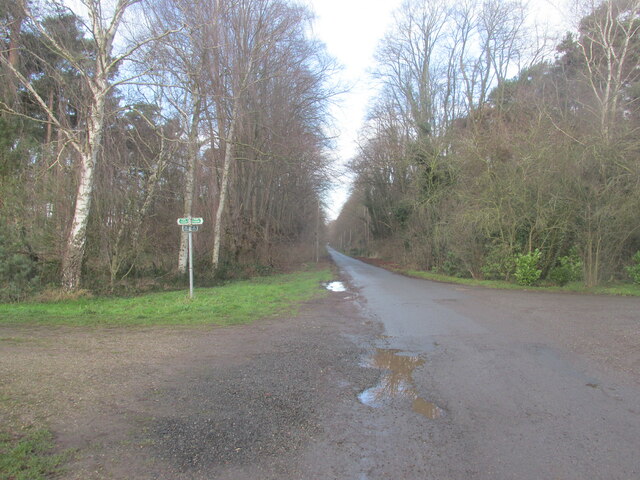
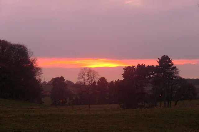
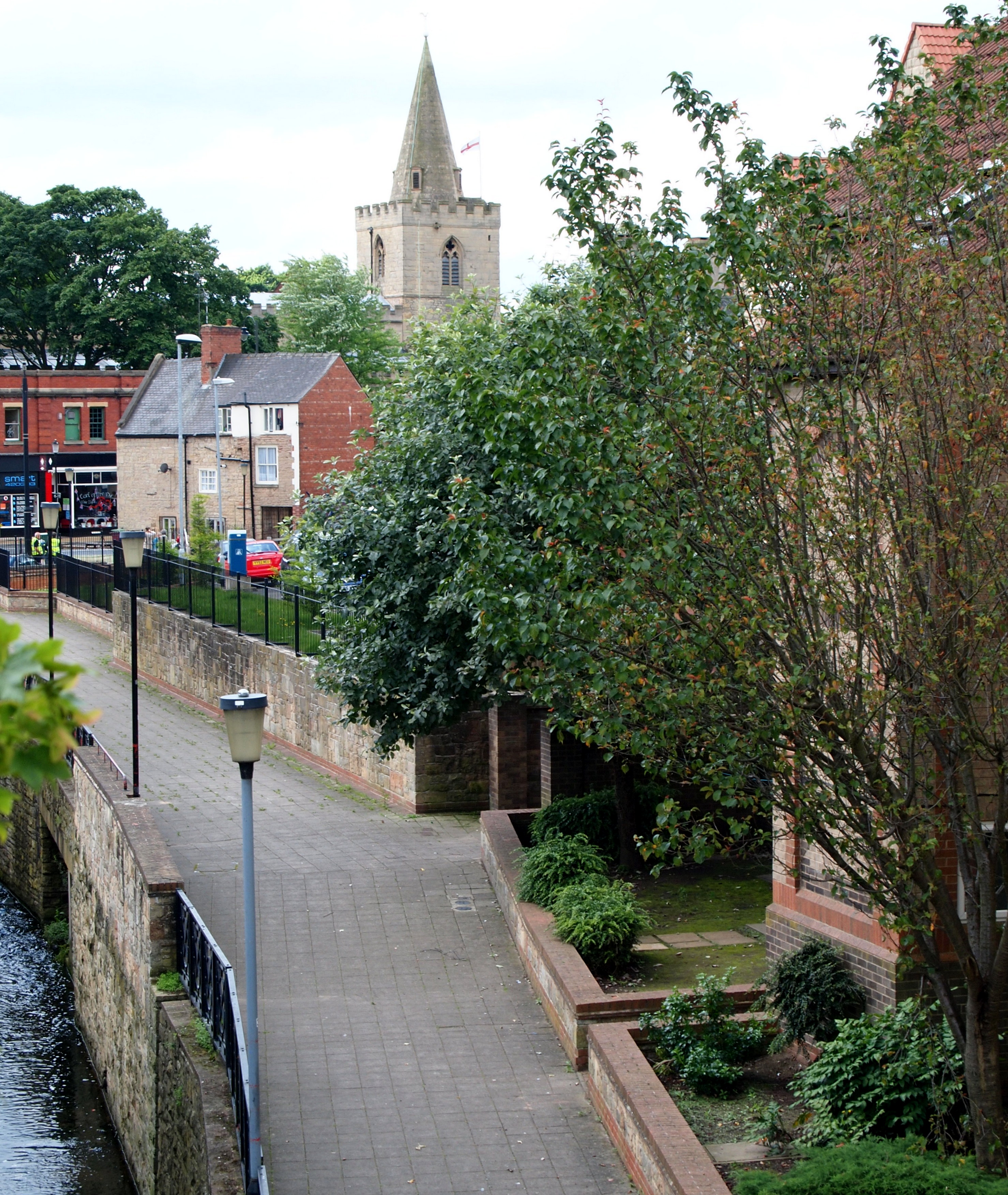
The village of West Drayton is a picturesque and tranquil rural settlement surrounded by beautiful countryside. It is predominantly an agricultural area, with farming being the main industry. The landscape is characterized by rolling hills, green fields, and small woodlands, making it an ideal place for nature enthusiasts and outdoor activities.
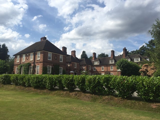
The village itself is small but charming, with a mix of traditional and modern buildings. It has a close-knit community feel, and residents often participate in local events and activities. The parish is served by a few amenities, including a church, a primary school, and a village hall.
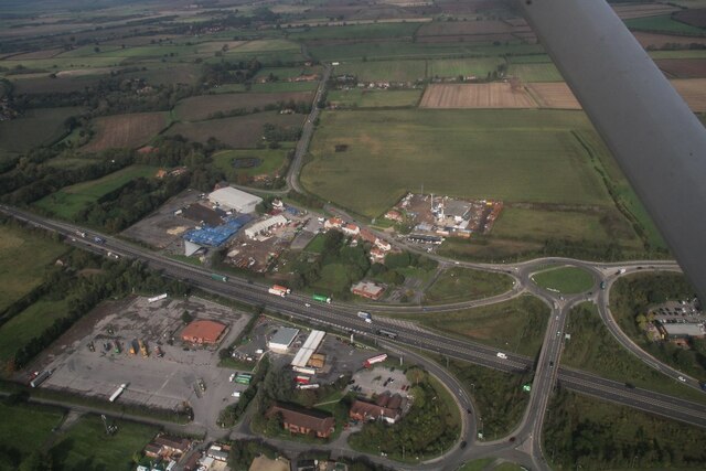
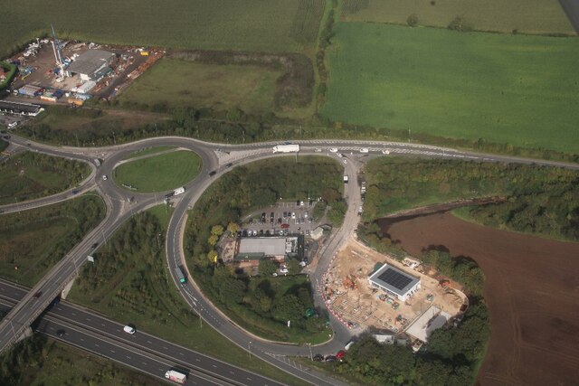
West Drayton benefits from its proximity to Nottingham, which provides access to a wider range of services and amenities, including shopping centers, restaurants, and entertainment options. The village also has good transport links, with regular bus services connecting it to nearby towns and villages.
Overall, West Drayton offers a peaceful and idyllic setting for those seeking a rural lifestyle while still being within reach of urban facilities. Its natural beauty and community spirit make it a desirable place to live.
If you have any feedback on the listing, please let us know in the comments section below.
West Drayton Images
Images are sourced within 2km of 53.262146/-0.941779 or Grid Reference SK7074. Thanks to Geograph Open Source API. All images are credited.
West Drayton is located at Grid Ref: SK7074 (Lat: 53.262146, Lng: -0.941779)
Administrative County: Nottinghamshire
District: Bassetlaw
Police Authority: Nottinghamshire
What 3 Words
///echo.irony.coasting. Near East Markham, Nottinghamshire
Nearby Locations
Related Wikis
West Drayton, Nottinghamshire
West Drayton is a village and civil parish in the Bassetlaw district in the county of Nottinghamshire, England. It lies 24 miles (39 km) north east of...
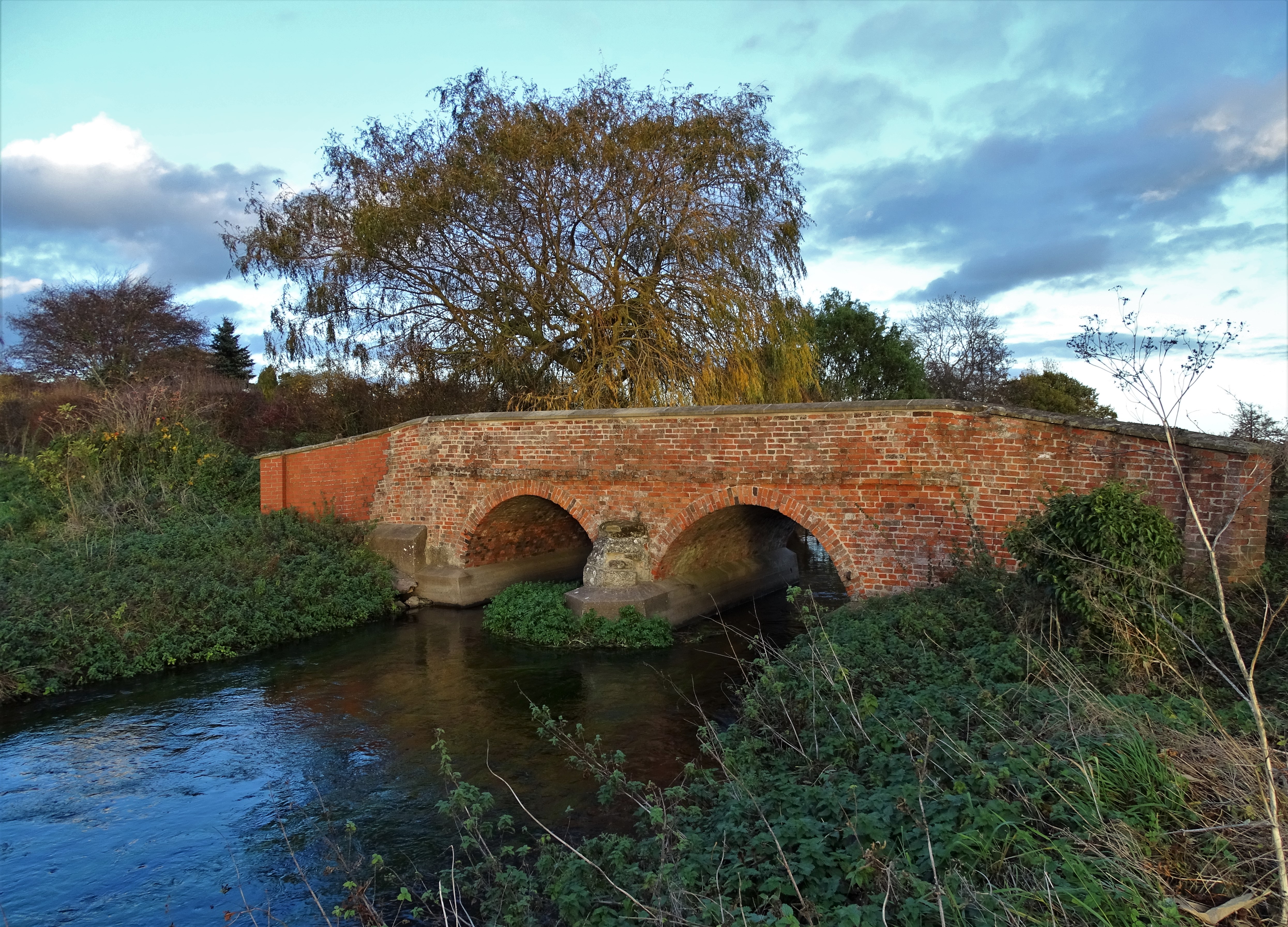
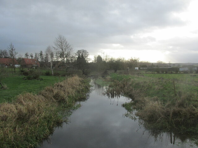
River Meden
The River Meden is a river in Nottinghamshire, England. Its source lies just north of Huthwaite, near the Derbyshire border, and from there it flows...
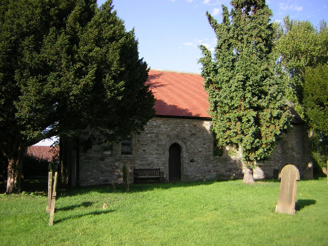
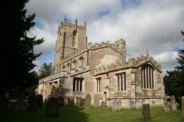
St Paul's Church, West Drayton
St Paul's Church is a Grade II* listed parish church in the Church of England in West Drayton, Nottinghamshire. == History == The church dates from the...

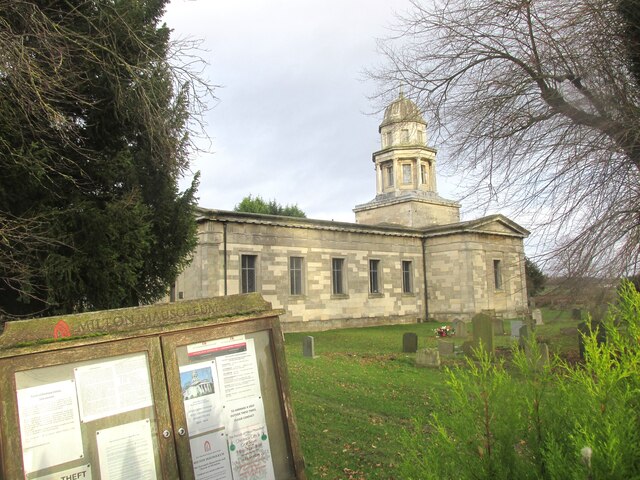
Milton, Nottinghamshire
Milton is a hamlet in Nottinghamshire. It is part of West Markham civil parish, a short distance northwest of West Markham and southwest of Sibthorpe....

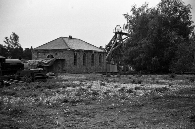
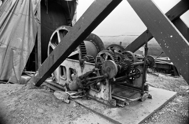
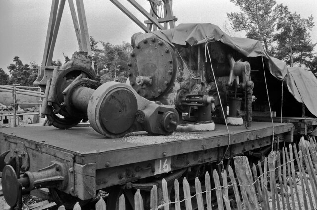
Bevercotes Colliery
Bevercotes Colliery was the first fully automated mine. It went into production in July 1965. Located in Bevercotes to the north of Ollerton, the colliery...
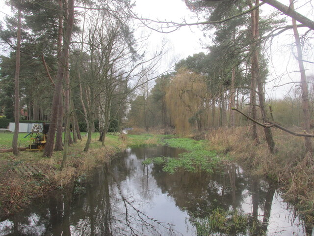
River Maun
The River Maun is a river in Nottinghamshire, England. Its source lies in Kirkby-in-Ashfield, and from there it flows north east through Mansfield (which...

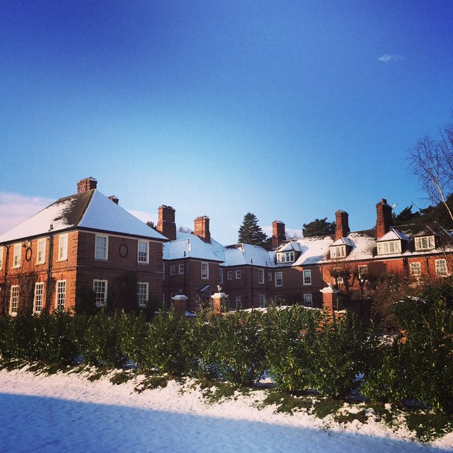
Lound Hall
Lound Hall is a country house which sits in between the villages of Bothamsall and Bevercotes, in the county of Nottinghamshire, England. The current house...
St Peter's Church, Gamston
St Peter's Church, Gamston is a Grade I listed parish church in the Church of England in Gamston, Bassetlaw. == History == The church dates from the 13th...
Nearby Amenities
Located within 500m of 53.262146,-0.941779Have you been to West Drayton?
Leave your review of West Drayton below (or comments, questions and feedback).