Home Covert

Wood, Forest in Hampshire Eastleigh

England

Home Covert

M27 gantry East of Moorgreen Road bridge
M27 gantry Credit: John Firth

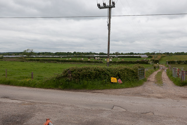
Home Covert is a picturesque woodland located in Hampshire, England. Situated in the heart of the county, it covers an area of approximately 50 acres and is part of the larger Forest of Hampshire. The woodland is known for its dense canopy of trees, which mainly consists of oak, beech, and birch species.

The woodland is a popular destination for nature enthusiasts, offering a serene and tranquil environment for visitors to explore. Its diverse ecosystem supports a wide variety of flora and fauna, making it a haven for wildlife. It is not uncommon to spot deer, rabbits, squirrels, and a myriad of bird species while wandering through the woods.

The woodland also boasts several well-maintained walking trails, allowing visitors to fully immerse themselves in the natural beauty of the area. These trails offer both short and long routes, catering to different levels of fitness and interests. Additionally, there are designated picnic areas scattered throughout the woodland, providing an ideal spot for visitors to relax and enjoy a meal amidst the peaceful surroundings.

Home Covert is managed by the local forestry commission, ensuring the preservation and conservation of the woodland. The commission also organizes various educational events and workshops, aimed at promoting the understanding and appreciation of the natural environment.

Overall, Home Covert in Hampshire is a hidden gem, offering a tranquil escape from the hustle and bustle of everyday life. Its stunning woodland, diverse wildlife, and well-maintained trails make it a perfect destination for nature lovers and outdoor enthusiasts.

If you have any feedback on the listing, please let us know in the comments section below.
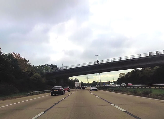
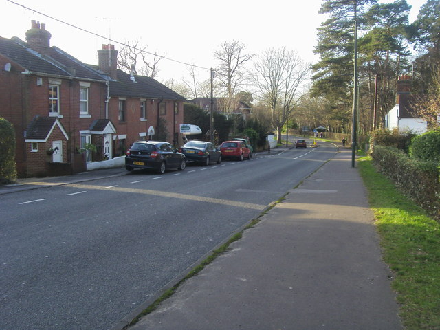
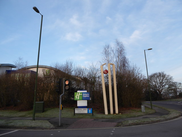
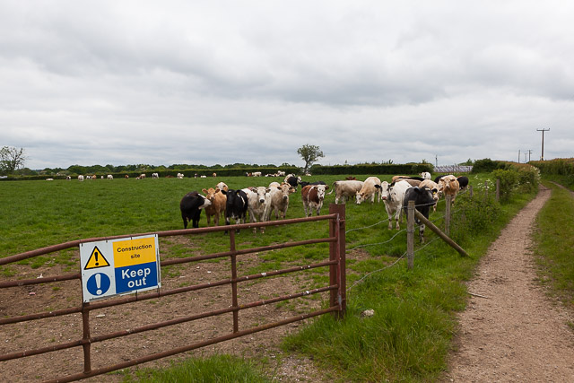
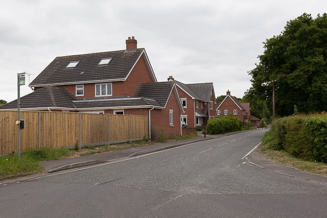
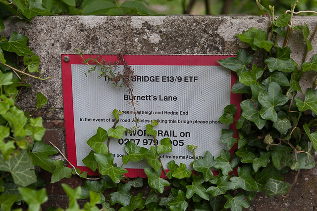
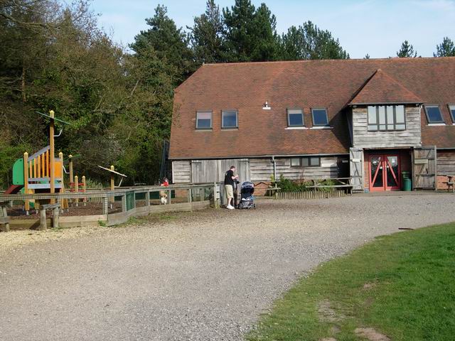
Home Covert Images

Images are sourced within 2km of 50.939918/-1.3205052 or Grid Reference SU4715. Thanks to Geograph Open Source API. All images are credited.

M27 gantry East of Moorgreen Road bridge
M27 gantry
East of Moorgreen Road bridge
Botley Road bridge over M27
High Street High Street (B3035) heading down to the A27
High Street
High Street (B3035) heading down to the A27
Hedge End railway station, Hampshire Opened in 1990 by British Rail on the line from Eastleigh to Portsmouth.
View south east towards Botley and Portsmouth.
Hedge End railway station, Hampshire
Opened in 1990 by British Rail on the line from Eastleigh to Portsmouth. View south east towards Botley and Portsmouth.
2016: a year on Geograph (Day 55) I was stumped for a photo today until I passed The Ageas (née Rose) Bowl. <span class="nowrap"><a title="https://en.wikipedia.org/wiki/Rose_Bowl_(cricket_ground)" rel="nofollow ugc noopener" href="https://en.wikipedia.org/wiki/Rose_Bowl_(cricket_ground)">Link</a><img style="margin-left:2px;" alt="External link" title="External link - shift click to open in new window" src="https://s1.geograph.org.uk/img/external.png" width="10" height="10"/></span>
2016: a year on Geograph (Day 55)
I was stumped for a photo today until I passed The Ageas (née Rose) Bowl. LinkExternal link
Burnetts Lane
Burnetts Lane
Field west of Angelica Gardens Being mown. I failed to notice but assume it is some kind of public recreation area.
Field west of Angelica Gardens
Being mown. I failed to notice but assume it is some kind of public recreation area.
Boggy area south of Angelica Gardens Seen from footpath. A stream runs through this.
Boggy area south of Angelica Gardens
Seen from footpath. A stream runs through this.
Chalcroft Solar Park On Chalcroft Farm. Well protected by CCTV and bullocks. The sign says it generates 6.3MWp and produces 6,530,200 KWh per year. See also <a href="https://www.geograph.org.uk/photo/4968789">SU4917 : Information sign at Chalcroft Solar Park</a>
Chalcroft Solar Park
On Chalcroft Farm. Well protected by CCTV and bullocks. The sign says it generates 6.3MWp and produces 6,530,200 KWh per year. See also SU4917 : Information sign at Chalcroft Solar Park
Information sign at Chalcroft Solar Park The sign says that the park was constructed in 2012, engineered and developed by Solarcentury and owned by Lightsource Renewable Energy. "The installation is 6.3MWp and produces 6,530,200 KWh of electricity per year. The electricity produced here will prevent an estimated 73,000 tonnes of CO2 from entering our atmosphere over its lifetime." "If we covered 3% of the Sahara desert with solar PV we could generate all the world's electricity." (They do not add that in the absence of superconducting cables it would not be possible to distribute this electricity satisfactorily all over the planet.)

For a wider view see <a href="https://www.geograph.org.uk/photo/4968775">SU4817 : Chalcroft Solar Park</a>
Information sign at Chalcroft Solar Park
The sign says that the park was constructed in 2012, engineered and developed by Solarcentury and owned by Lightsource Renewable Energy. "The installation is 6.3MWp and produces 6,530,200 KWh of electricity per year. The electricity produced here will prevent an estimated 73,000 tonnes of CO2 from entering our atmosphere over its lifetime." "If we covered 3% of the Sahara desert with solar PV we could generate all the world's electricity." (They do not add that in the absence of superconducting cables it would not be possible to distribute this electricity satisfactorily all over the planet.) For a wider view see SU4817 : Chalcroft Solar Park
A load of bullocks on Chalcroft Farm The sign says "Construction site keep out" but I think this is left over from the year 2012 when Chalcroft Solar Park (seen in distance) was built. Chalcroft Farm is the base of Owtons, a well known local butchers (<span class="nowrap"><a title="www.owtons.com" rel="nofollow ugc noopener" href="http://www.owtons.com">Link</a><img style="margin-left:2px;" alt="External link" title="External link - shift click to open in new window" src="https://s1.geograph.org.uk/img/external.png" width="10" height="10"/></span> ). There are bullocks everywhere on this farm, understandably, but I gave up walking the footpaths here and decided to keep to the road. I would not advise walking the paths hereabouts with a dog.
A load of bullocks on Chalcroft Farm
The sign says "Construction site keep out" but I think this is left over from the year 2012 when Chalcroft Solar Park (seen in distance) was built. Chalcroft Farm is the base of Owtons, a well known local butchers (LinkExternal link ). There are bullocks everywhere on this farm, understandably, but I gave up walking the footpaths here and decided to keep to the road. I would not advise walking the paths hereabouts with a dog.
Chalcroft Solar Park In its farmland setting. Seen from private road (public footpath) to Owtons butchers.
Chalcroft Solar Park
In its farmland setting. Seen from private road (public footpath) to Owtons butchers.
Houses at southwest corner of Horton Heath Off Burnetts Lane. Seen looking across the lush fields of Chalcroft Farm, used for rearing beef cattle for Owtons butchers.
Houses at southwest corner of Horton Heath
Off Burnetts Lane. Seen looking across the lush fields of Chalcroft Farm, used for rearing beef cattle for Owtons butchers.
Longways House, Burnetts Lane I don't know if the EU flag is always there, or if it is in honour of the forthcoming referendum on June 23rd 2016 to decide if Britain wishes to remain in or leave the European Union.
Longways House, Burnetts Lane
I don't know if the EU flag is always there, or if it is in honour of the forthcoming referendum on June 23rd 2016 to decide if Britain wishes to remain in or leave the European Union.
Entrance to Chalcroft Business Park Which is well secluded.
Entrance to Chalcroft Business Park
Which is well secluded.
Date plaque on Waypoint House One of four detached houses built in 2008 along Burnetts Lane immediately north of the railway bridge. For context see <a href="https://www.geograph.org.uk/photo/4968839">SU4815 : Detached houses on Burnetts Lane</a>
Date plaque on Waypoint House
One of four detached houses built in 2008 along Burnetts Lane immediately north of the railway bridge. For context see SU4815 : Detached houses on Burnetts Lane
Detached houses on Burnetts Lane A group of four built in 2008 north of the railway bridge. See also <a href="https://www.geograph.org.uk/photo/4968830">SU4815 : Date plaque on Waypoint House</a>
Detached houses on Burnetts Lane
A group of four built in 2008 north of the railway bridge. See also SU4815 : Date plaque on Waypoint House
Bridge E13/9 ETF Burnett's Lane Network Rail's sign on railway bridge. For wider view of this bridge see <a href="https://www.geograph.org.uk/photo/4969437">SU4815 : Bridge taking Burnetts Lane over the railway</a>
Bridge E13/9 ETF Burnett's Lane
Network Rail's sign on railway bridge. For wider view of this bridge see SU4815 : Bridge taking Burnetts Lane over the railway
Show me another place!

Home Covert is located at Grid Ref: SU4715 (Lat: 50.939918, Lng: -1.3205052)

Administrative County: Hampshire

District: Eastleigh

Police Authority: Hampshire

What 3 Words

///hero.grabs.turkey. Near West End, Hampshire

Nearby Locations

Home Covert West End

Related Wikis

Allington, Hampshire

Allington is a small settlement in the Borough of Eastleigh, Hampshire, England, located at the northern extremity of the civil parish of West End. �...

Borough of Eastleigh

The Borough of Eastleigh is a local government district with borough status in Hampshire, England. It is named after its main town of Eastleigh, where...
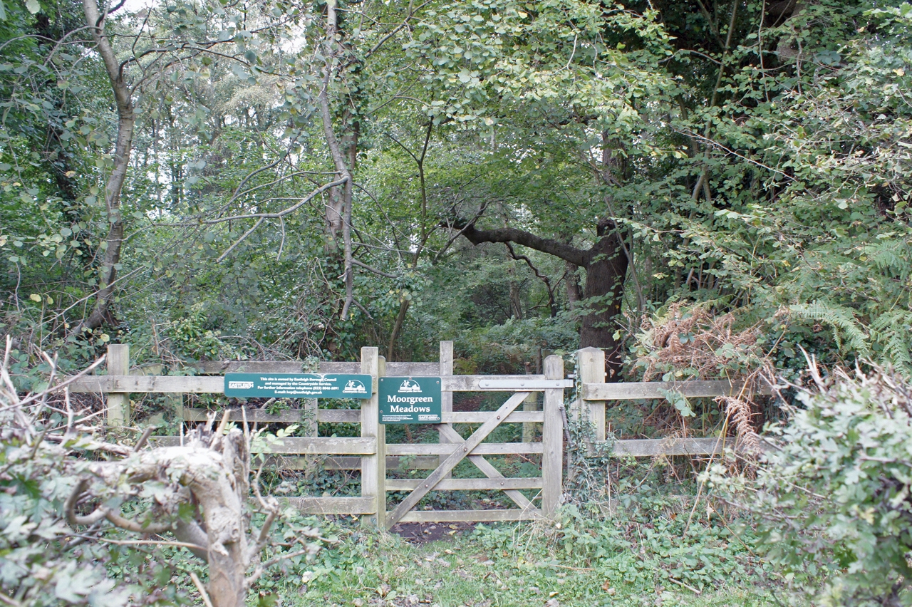
Moorgreen Meadows

Moorgreen Meadows is a 14.3-hectare (35-acre) biological Site of Special Scientific Interest in Southampton in Hampshire.These meadows are important for...

Moorgreen Hospital

Moorgreen Hospital was a community hospital in West End, near Southampton. It was managed by Southampton City Primary Care Trust. == History == The hospital...

Eastleigh (UK Parliament constituency)

Eastleigh is a constituency represented in the House of Commons of the UK Parliament since 2019 by Paul Holmes, a Conservative. == Constituency profile... ==

Itchen Valley Country Park

Itchen Valley Country Park is a country park in West End, Hampshire, England. As the name suggests, the River Itchen runs through the park, which covers...

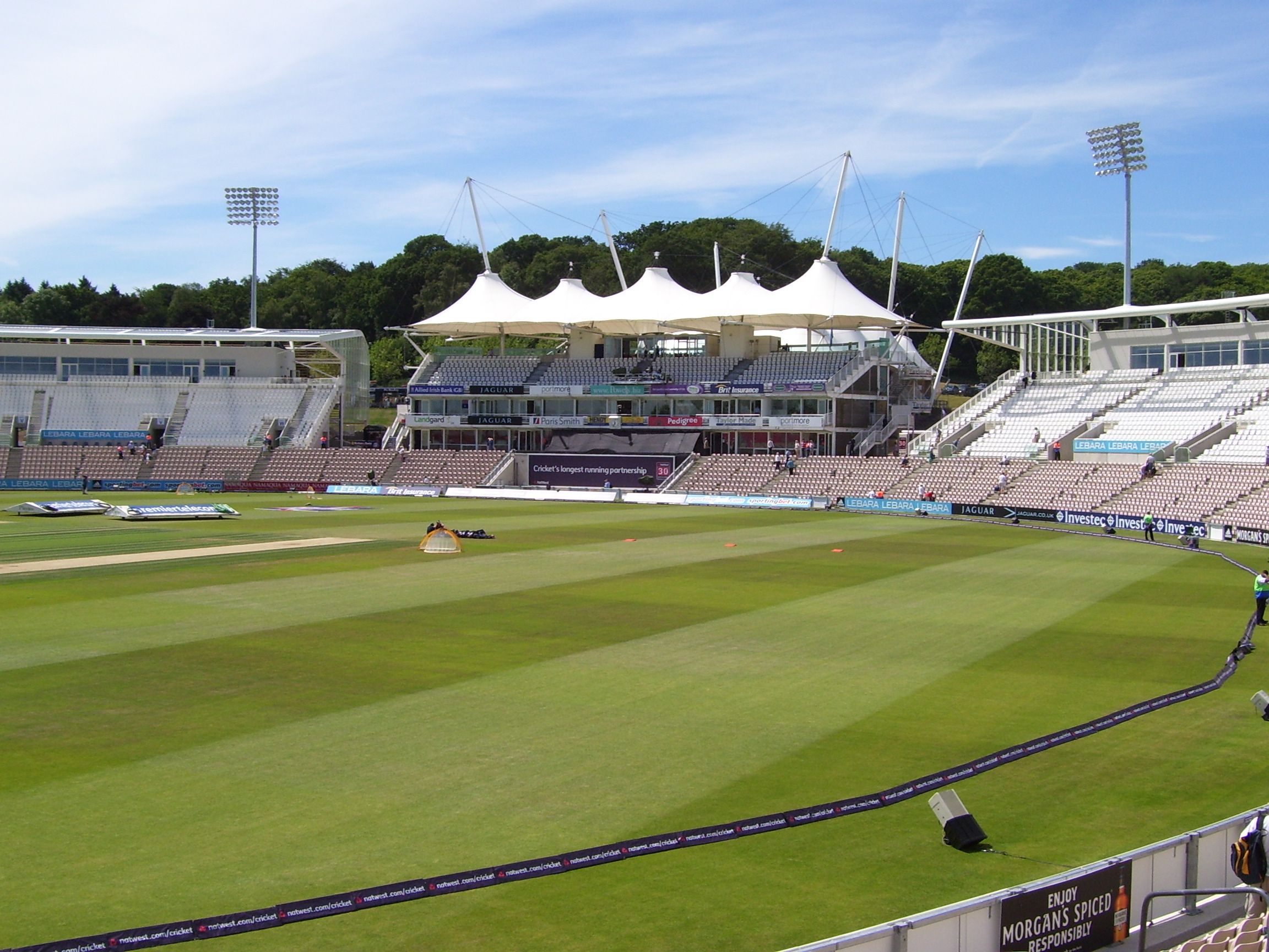
Rose Bowl (cricket ground)

The Rose Bowl, known for sponsorship reasons as Ageas Bowl is a cricket ground and hotel complex in West End, Hampshire. It is the home of Hampshire County...

Horton Heath, Hampshire

Horton Heath is a semi-rural village which forms part of the civil parish of Fair Oak and Horton Heath in the borough of Eastleigh in Hampshire, England...

Nearby Amenities

Located within 500m of 50.939918,-1.3205052
Natural: wetland
Wetland: bog
Lat/Long: 50.9422036/-1.3161809
Natural: wetland
Wetland: bog
Lat/Long: 50.9386177/-1.3161423
Created By: osmeditor2
Lat/Long: 50.9400579/-1.3174143
The data included in this document is from www.openstreetmap.org. The data is made available under ODbL.

Have you been to Home Covert?

Leave your review of Home Covert below (or comments, questions and feedback).