Brotherton Cliff Wood
Wood, Forest in Yorkshire Selby
England
Brotherton Cliff Wood
Brotherton Cliff Wood is a picturesque forest located in the county of Yorkshire, England. Stretching over an area of approximately 100 acres, it is nestled in the heart of the countryside, providing a tranquil and scenic escape for nature enthusiasts and visitors alike.
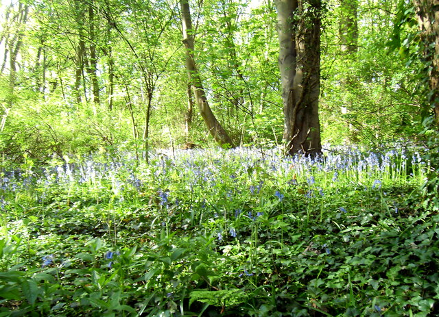
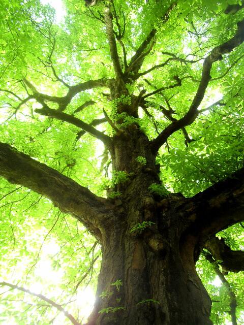
The wood is primarily composed of native deciduous trees such as oak, beech, and birch, creating a vibrant and diverse ecosystem. The dense canopy of these trees allows only dappled sunlight to filter through, casting a magical ambience on the forest floor. Moss-covered rocks and fallen logs add to the enchanting atmosphere, while a carpet of bluebells blankets the ground during the spring months.
Brotherton Cliff Wood is home to a wide variety of wildlife, including numerous bird species, such as woodpeckers and owls, that can be heard chirping and hooting throughout the day. Squirrels scamper about, collecting acorns and pinecones, while badgers and foxes can occasionally be spotted foraging for food.
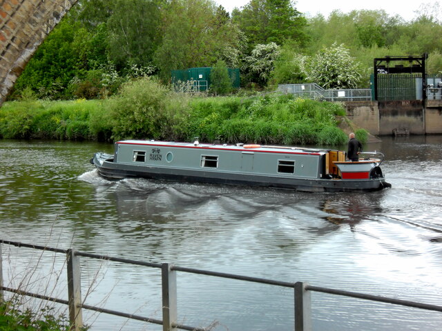
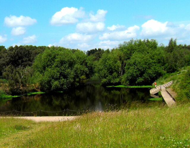
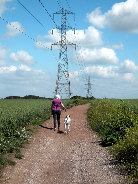
The wood is crisscrossed by a network of well-maintained walking trails, providing visitors with the opportunity to explore its beauty at their own pace. These paths lead to breathtaking viewpoints, where one can admire the stunning vistas of the surrounding countryside and the meandering river that winds its way through the valley below.
Brotherton Cliff Wood is not only a haven for nature lovers but also a valuable resource for researchers and conservationists. Its diverse flora and fauna contribute to ongoing studies of ecological balance and provide a living laboratory for understanding the dynamics of woodland ecosystems.
Overall, Brotherton Cliff Wood offers a peaceful retreat from the hustle and bustle of everyday life, inviting visitors to immerse themselves in the beauty and serenity of nature.
If you have any feedback on the listing, please let us know in the comments section below.
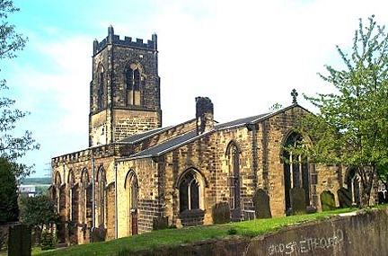
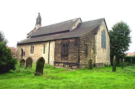
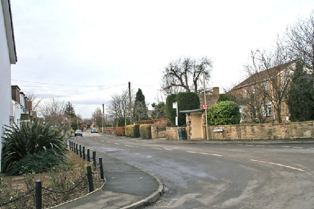
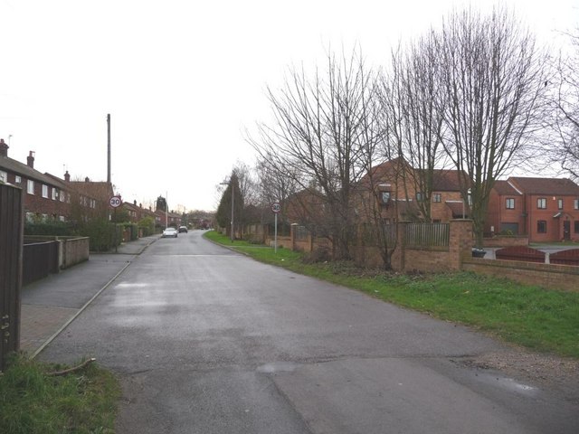
Brotherton Cliff Wood Images
Images are sourced within 2km of 53.736436/-1.2762231 or Grid Reference SE4726. Thanks to Geograph Open Source API. All images are credited.


Brotherton Cliff Wood is located at Grid Ref: SE4726 (Lat: 53.736436, Lng: -1.2762231)
Division: West Riding
Administrative County: North Yorkshire
District: Selby
Police Authority: North Yorkshire
What 3 Words
///bibs.cube.jams. Near Byram, North Yorkshire
Nearby Locations
Related Wikis

Fryston Hall
Fryston Hall was a country house at Water Fryston, West Yorkshire which stood in an estate between the town of Castleford and the River Aire near where...
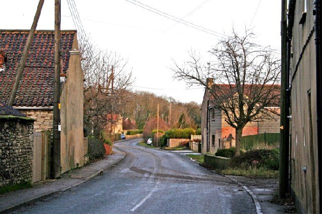
Brotherton
Brotherton is a village and civil parish in the Selby District of North Yorkshire, England. The village is on a border with the City of Wakefield and West...
Fairburn, North Yorkshire
Fairburn is a small village and civil parish in the Selby District of North Yorkshire, England. Situated approximately 10 miles (16 km) to the east of...
Burton Salmon
Burton Salmon is a village and civil parish in the Selby district of North Yorkshire, England, close to the border with West Yorkshire, and approximately...
Byram, North Yorkshire
Byram is a village in the Selby District in North Yorkshire, England. It lies 3 miles (4.8 km) east of Castleford, across the River Aire in West Yorkshire...
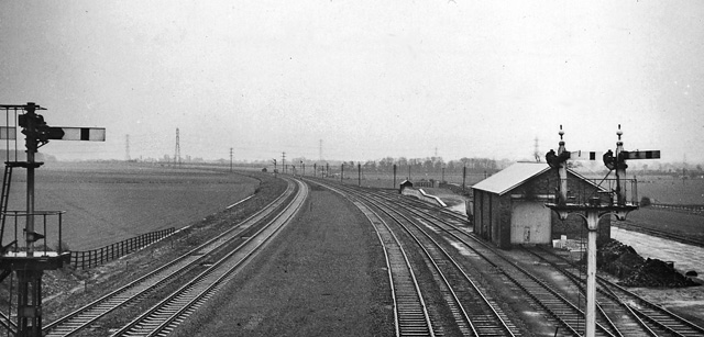
Burton Salmon railway station
Burton Salmon railway station served the village of Burton Salmon, North Yorkshire, England, from 1840 to 1959 on the York and North Midland Railway....
Byram cum Sutton
Byram cum Sutton is a civil parish in the Selby District of North Yorkshire, England, containing the village of Byram and the hamlet of Sutton. The River...
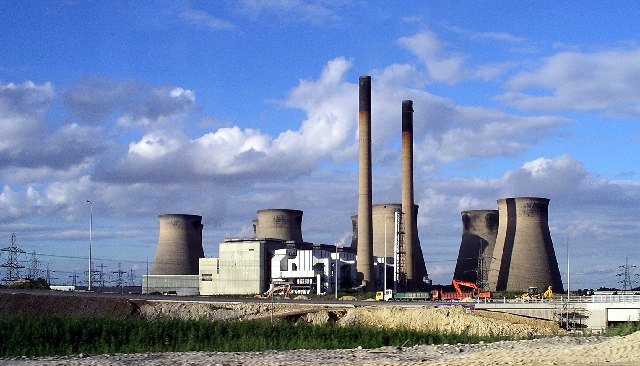
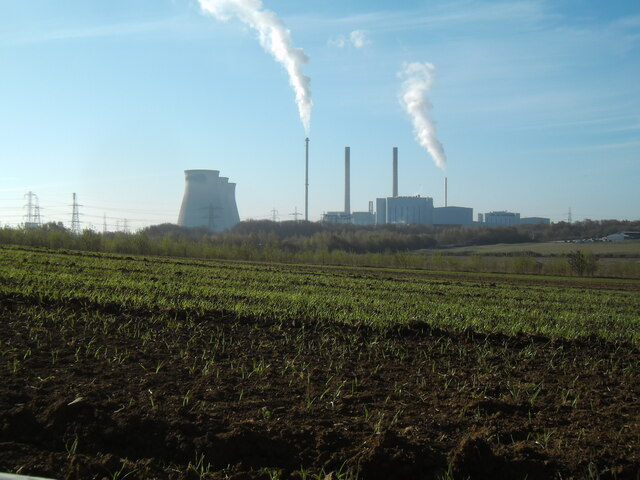
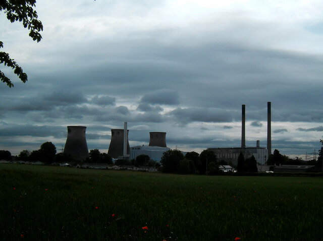
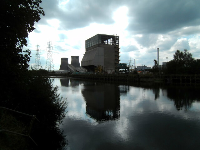
Ferrybridge power stations
The Ferrybridge power stations were a series of three coal-fired power stations on the River Aire near Ferrybridge in West Yorkshire, England, in operation...
Nearby Amenities
Located within 500m of 53.736436,-1.2762231Have you been to Brotherton Cliff Wood?
Leave your review of Brotherton Cliff Wood below (or comments, questions and feedback).