West End
Civil Parish in Surrey Surrey Heath
England
West End
West End is a civil parish located in the borough of Surrey Heath, in the county of Surrey, England. It is situated approximately 30 miles southwest of central London. The parish covers an area of around 1.5 square miles and has a population of approximately 4,500 people.
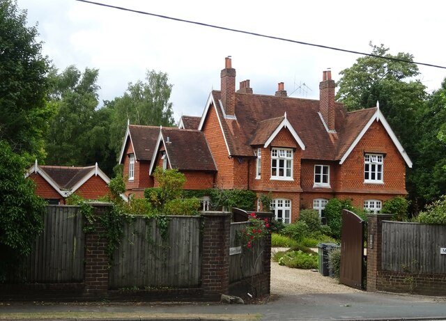
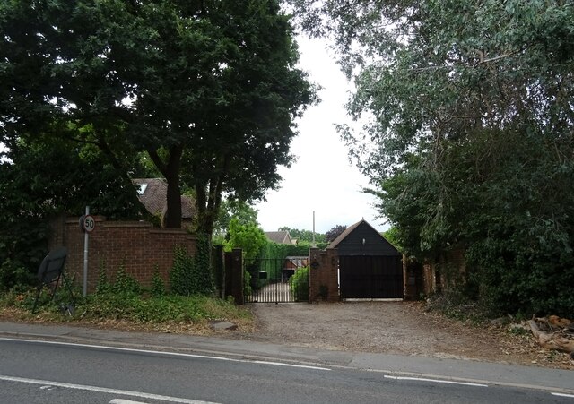
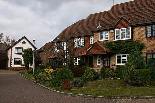
The area is predominantly residential, consisting mainly of detached and semi-detached houses. West End is known for its quiet and peaceful atmosphere, making it an attractive place to live for families and professionals seeking a suburban lifestyle.
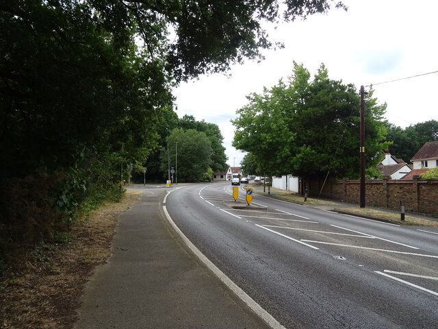
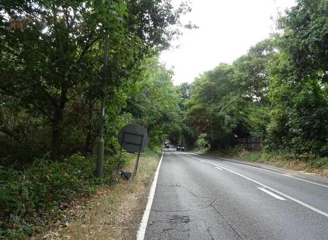
West End benefits from its proximity to the nearby towns of Woking and Camberley, which offer a wide range of amenities and services, including shopping centers, restaurants, and entertainment venues. The area is well-connected, with good transportation links to surrounding areas, including easy access to the M3 motorway.
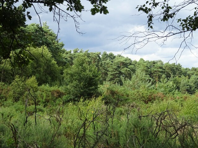
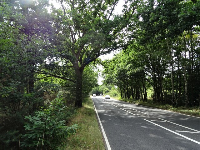
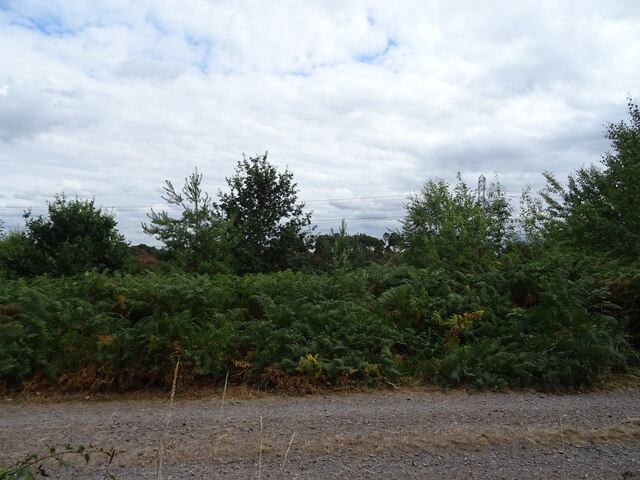
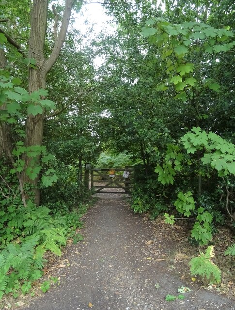
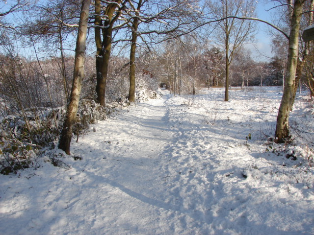
The parish is surrounded by beautiful countryside, providing residents with ample opportunities for outdoor activities such as walking, cycling, and horse riding. West End is also home to several parks and green spaces, including Lightwater Country Park and Brentmoor Heath, which offer picturesque landscapes and recreational facilities for residents to enjoy.
In terms of education, West End has a number of primary and secondary schools, providing residents with access to quality education for their children.
Overall, West End offers a peaceful and scenic environment, with a range of amenities and convenient access to nearby towns, making it a popular place to live for those seeking a suburban lifestyle with easy access to urban conveniences.
If you have any feedback on the listing, please let us know in the comments section below.
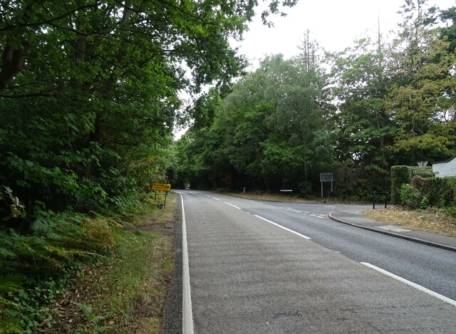
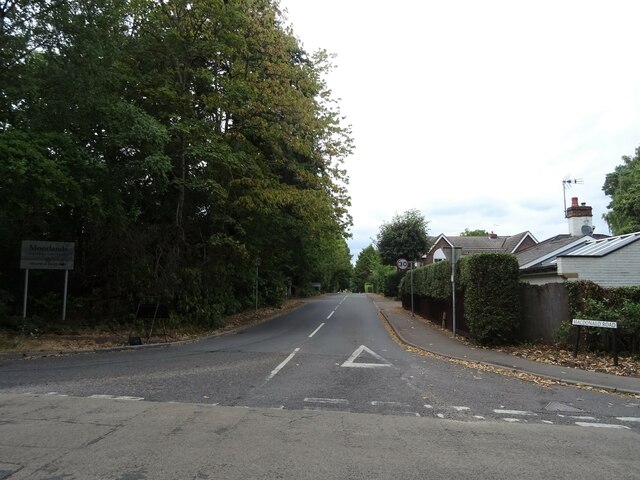
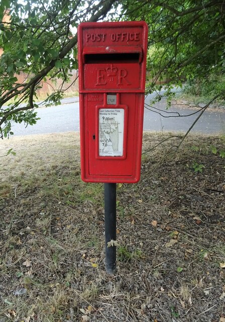
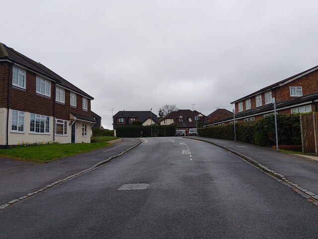
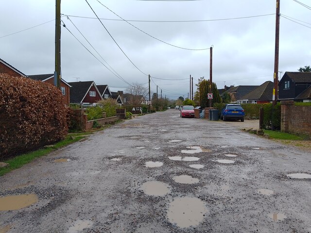
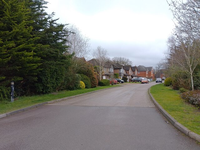
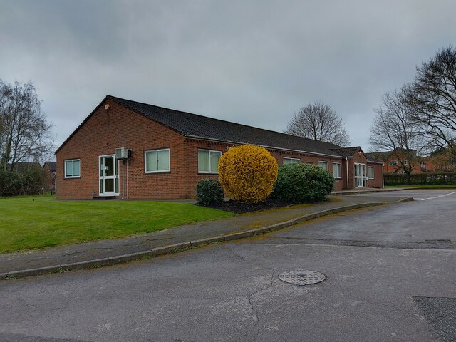
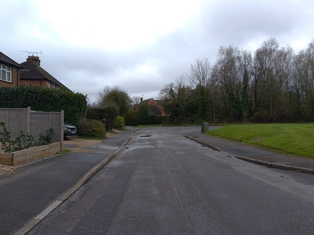
West End Images
Images are sourced within 2km of 51.334101/-0.661236 or Grid Reference SU9360. Thanks to Geograph Open Source API. All images are credited.
West End is located at Grid Ref: SU9360 (Lat: 51.334101, Lng: -0.661236)
Administrative County: Surrey
District: Surrey Heath
Police Authority: Surrey
What 3 Words
///nurse.volume.royal. Near Lightwater, Surrey
Nearby Locations
Related Wikis

Brentmoor Heath
Brentmoor Heath is a 28.6-hectare (71-acre) Local Nature Reserve east of Camberley in Surrey. It is part of Brentmoor Heath and Folly Bog nature reserve...

The Flashes
The Flashes is a 115.1-hectare (284-acre) Local Nature Reserve west of Godalming in Surrey. It is owned by the National Trust and managed by Waverley...
Bisley and West End Commons
Bisley and West End Commons is a 37.2-hectare (92-acre) Local Nature Reserve west of Woking in Surrey. It is part of the 46-hectare (110-acre) Bisley...

West End, Surrey
West End is a village and civil parish in Surrey Heath, Surrey, England, approximately 25 miles (40 km) southwest of central London. It is midway between...

Gordon's School
Gordon's School is a secondary school with academy status in West End near Woking, Surrey, England. It was founded as the Gordon Boys' Home in 1885. It...

Bisley, Surrey
Bisley is a village and civil parish in the Borough of Surrey Heath in Surrey, England, approximately 25 miles (40 km) southwest of central London. It...
HM Prison Coldingley
HM Prison Coldingley is a Category C men's prison, located in the village of Bisley, in Surrey, England. The prison is operated by His Majesty's Prison...
Lightwater
Lightwater is a village in the Surrey Heath district of Surrey, England, about 27 miles (43 km) southwest of central London. Immediately surrounding towns...
Nearby Amenities
Located within 500m of 51.334101,-0.661236Have you been to West End?
Leave your review of West End below (or comments, questions and feedback).