West Camel

Civil Parish in Somerset South Somerset

England

West Camel

Fleet Air Arm Museum Inside the section of the museum housing one of the prototype Concorde aircraft
Fleet Air Arm Museum Credit: Jon Wornham

West Camel is a civil parish located in the county of Somerset, England. It is situated approximately 5 miles north of the town of Yeovil and lies within the district of South Somerset. The parish covers an area of around 4 square miles.

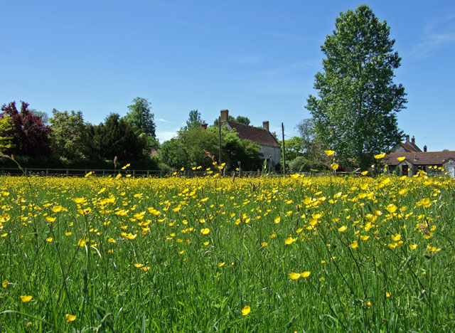
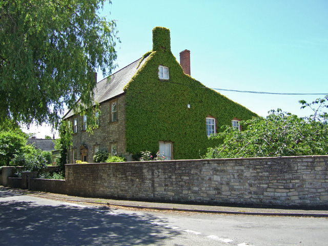
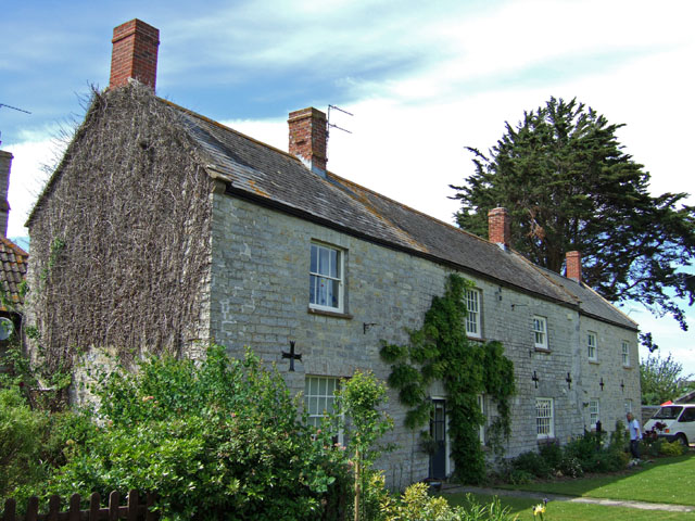
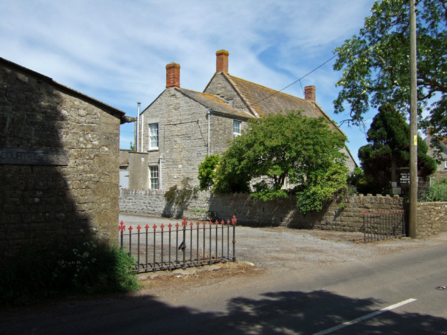
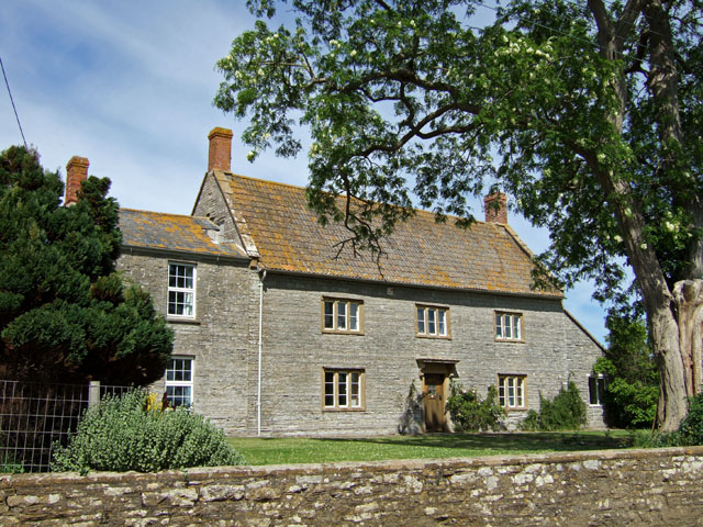
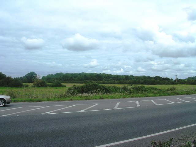
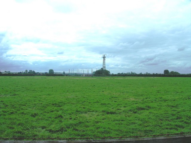
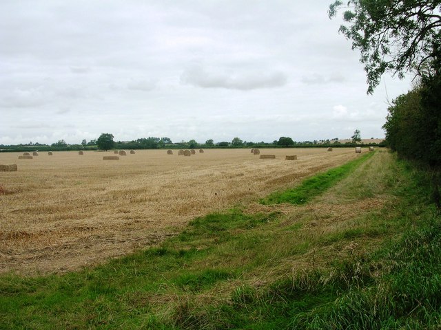
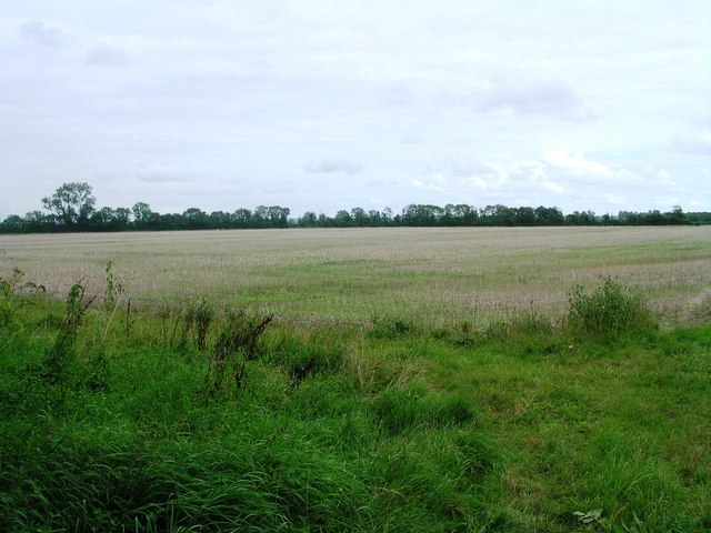
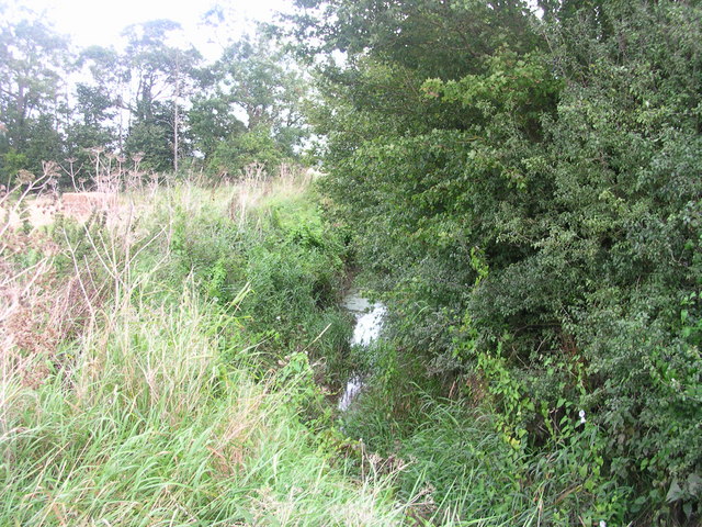
West Camel is a small, rural village with a population of approximately 600 residents. It is surrounded by picturesque countryside, offering stunning views of rolling hills and farmland. The River Cam flows through the village, adding to its charm and providing a peaceful atmosphere.

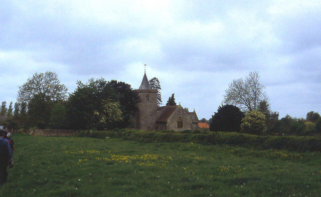
The village has a rich history, with evidence of human settlement dating back to the Roman times. It was mentioned in the Domesday Book of 1086, highlighting its long-standing presence in the region. The local church, St. Mary's, is a prominent landmark and dates back to the 12th century, showcasing the village's historical significance.

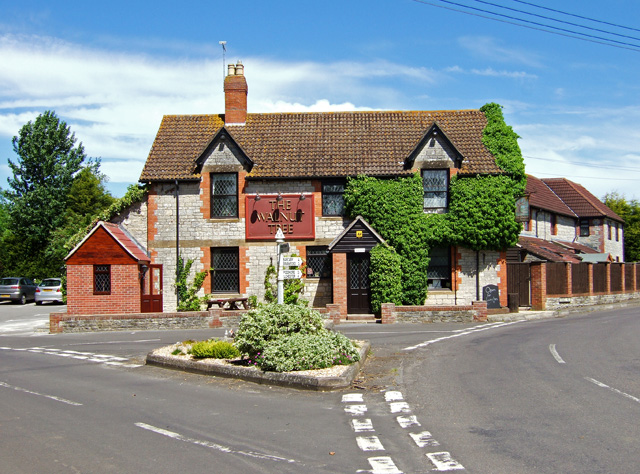
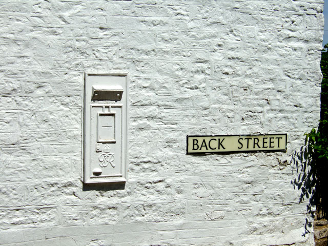
Despite its small size, West Camel offers a range of amenities and services for its residents. These include a primary school, a village hall, a post office, and a local pub. The village also has a strong sense of community, with various events and activities organized throughout the year.

West Camel is well-connected to neighboring towns and cities, with good road links to Yeovil and other nearby locations. It provides a peaceful and idyllic setting for residents, making it an attractive place to live for those seeking a rural lifestyle.

If you have any feedback on the listing, please let us know in the comments section below.
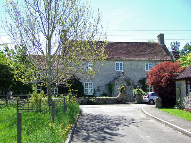
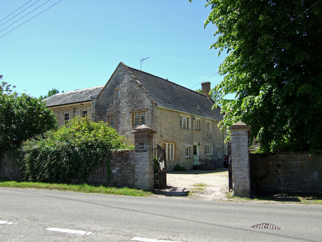
West Camel Images

Images are sourced within 2km of 51.025625/-2.614844 or Grid Reference ST5625. Thanks to Geograph Open Source API. All images are credited.

Fleet Air Arm Museum Inside the section of the museum housing one of the prototype Concorde aircraft
Fleet Air Arm Museum
Inside the section of the museum housing one of the prototype Concorde aircraft
Yeovilton, Concorde in The Fleet Air Arm Museum Concorde, as the photograph shows is very narrow.  On the left in the trial version you can see the instrumentation panels while on the right, next to the windows is the place for the seats to be fitted.
Yeovilton, Concorde in The Fleet Air Arm Museum
Concorde, as the photograph shows is very narrow. On the left in the trial version you can see the instrumentation panels while on the right, next to the windows is the place for the seats to be fitted.
Yeovilton, The Fleet Air Arm Museum An exterior shot of the building that holds untold treasures including a row of medals including a Victoria Cross, and an original Concorde which unlike the one at Manchester Airport you don't have to pay to go on!
Yeovilton, The Fleet Air Arm Museum
An exterior shot of the building that holds untold treasures including a row of medals including a Victoria Cross, and an original Concorde which unlike the one at Manchester Airport you don't have to pay to go on!
All Saints Church, West Camel The church is the first building encountered in the village for Leland Trail walkers approaching from Queen Camel
All Saints Church, West Camel
The church is the first building encountered in the village for Leland Trail walkers approaching from Queen Camel
The Walnut Tree at West Camel
Naish's Farmhouse - West Camel Early C18 farmhouse, Grade II* listed.
Naish's Farmhouse - West Camel
Early C18 farmhouse, Grade II* listed.
Buttercups - West Camel
The Old Rectory - West Camel Former rectory, Grade II* listed. Probably early C15 with modifications and major additions of circa 1830.
The Old Rectory - West Camel
Former rectory, Grade II* listed. Probably early C15 with modifications and major additions of circa 1830.
The Manor House - West Camel Late C18 Grade II listed.
The Manor House - West Camel
Late C18 Grade II listed.
Redundant Postbox at Back Street West Camel
Cottages at Downhead
Entrance to Courtry Farm - Bridgehampton
Courtry Farmhouse - Bridgehampton Grade II listed, C18 farmhouse.
Courtry Farmhouse - Bridgehampton
Grade II listed, C18 farmhouse.
Annis Hill from A303 View from edge of A303 (between traffic-just!) NE towards woodland on Annis Hill
Annis Hill from A303
View from edge of A303 (between traffic-just!) NE towards woodland on Annis Hill
RNAS Yeovilton aerial farm View of one of the aerial farms for RNAS Yeovilton
RNAS Yeovilton aerial farm
View of one of the aerial farms for RNAS Yeovilton
View towards Steart Lane View from public footpath at end of woodland strip back along footpath and across field
View towards Steart Lane
View from public footpath at end of woodland strip back along footpath and across field
View NE towards Steart Lane Just east of public footpath and south of woodland strip facing NE towards Steart Lane
View NE towards Steart Lane
Just east of public footpath and south of woodland strip facing NE towards Steart Lane
Dyke Brook View from public footpath east along Dyke Brook
Dyke Brook
View from public footpath east along Dyke Brook
Show me another place!

West Camel is located at Grid Ref: ST5625 (Lat: 51.025625, Lng: -2.614844)

Administrative County: Somerset

District: South Somerset

Police Authority: Avon and Somerset

What 3 Words

///submitted.extremes.slot. Near Ilchester, Somerset

Related Wikis

West Camel

West Camel is a village and civil parish in south Somerset, England, about 7 miles (11.3 km) north of the town of Yeovil. It lies either side of the River...

Church of All Saints, West Camel

The Church of All Saints in West Camel, Somerset, England, dates from the late 14th century and has been designated as a Grade I listed building.There...

Church of St Peter, Yeovilton

The Church of St Peter at Podimore in the parish of Yeovilton, Somerset, England, dates from the early 14th century and has been designated as a Grade...

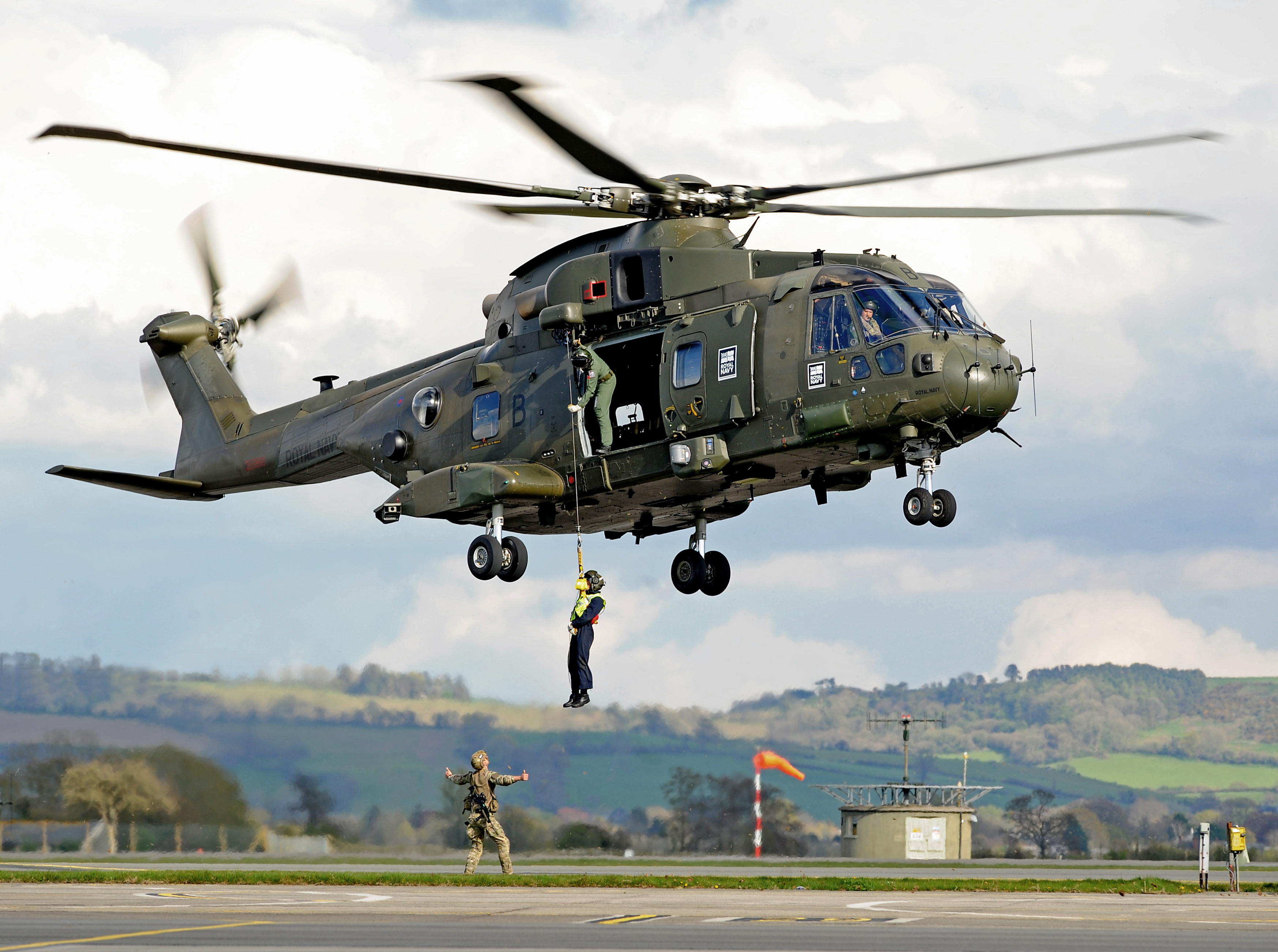
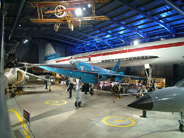
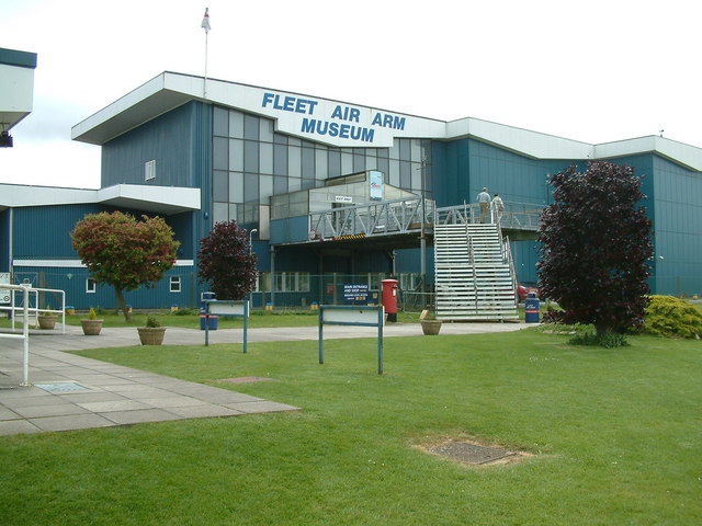
RNAS Yeovilton (HMS Heron)

Royal Naval Air Station Yeovilton, commonly referred to as RNAS Yeovilton, (IATA: YEO, ICAO: EGDY) (HMS Heron) is a military airbase of the Royal Navy...

Nearby Amenities

Located within 500m of 51.025625,-2.614844
Downhead
Place: locality
Lat/Long: 51.0261295/-2.6183302
Glebe Farm
Place: farm
Lat/Long: 51.0252016/-2.6206905
Waste Basket
Lat/Long: 51.023845/-2.6097902
Motorway Junction
Downhead
Source: https://vimeo.com/577717805/222d4dc68b
Lat/Long: 51.0245335/-2.6114663
Give Way
Direction: forward
Lat/Long: 51.0249033/-2.6104201
Give Way
Direction: forward
Lat/Long: 51.0230342/-2.6134499
Give Way
Direction: forward
Lat/Long: 51.0244191/-2.6085258
Give Way
Direction: forward
Lat/Long: 51.0251502/-2.6112375
Give Way
Direction: backward
Lat/Long: 51.0258297/-2.6099704
The data included in this document is from www.openstreetmap.org. The data is made available under ODbL.

Have you been to West Camel?

Leave your review of West Camel below (or comments, questions and feedback).