West Caister

Civil Parish in Norfolk Great Yarmouth

England

West Caister

Caister Castle Interior <span class="nowrap"><a title="https://historicengland.org.uk/listing/the-list/list-entry/1002882?section=official-listing" rel="nofollow ugc noopener" href="https://historicengland.org.uk/listing/the-list/list-entry/1002882?section=official-listing">Link</a><img style="margin-left:2px;" alt="External link" title="External link - shift click to open in new window" src="https://s1.geograph.org.uk/img/external.png" width="10" height="10"/></span>
Caister Castle Interior Credit: Sandy Gerrard

West Caister is a civil parish located in the county of Norfolk, England. Situated on the eastern coast of England, West Caister is part of the Great Yarmouth district and lies approximately 3 miles north of the town of Great Yarmouth itself. The parish covers an area of about 3 square miles and has a population of around 1,500 people.

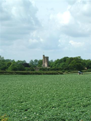
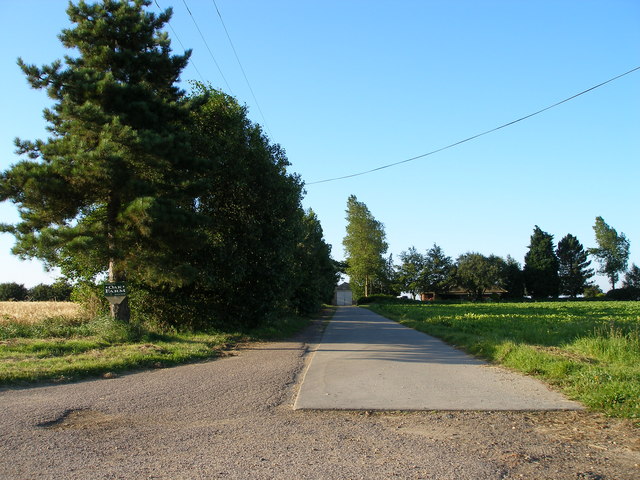
The village of West Caister is primarily a residential area, characterized by a mix of traditional cottages and modern housing estates. It is bordered by the A149 road to the west, which provides easy access to nearby towns and cities. The village is surrounded by agricultural land, with fields and open spaces offering a rural feel to the area.

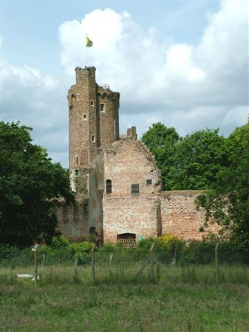
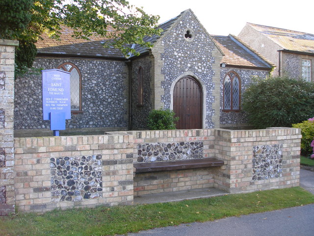
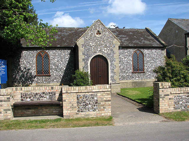
The parish is home to a number of amenities and facilities, including a primary school, a village hall, and a local pub. The village hall serves as a community hub, hosting various events and activities throughout the year. There is also a church, St. Edmund's, which dates back to the 13th century and serves as a place of worship for the local community.

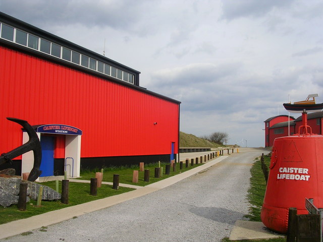
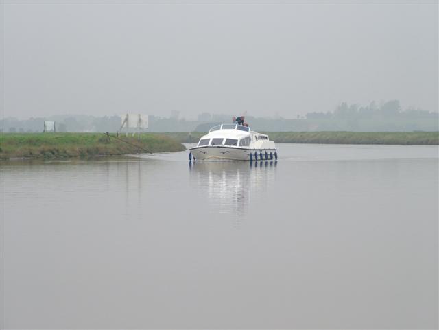
West Caister benefits from its proximity to the coast, with Caister-on-Sea and its popular sandy beach just a short distance away. The area offers a range of recreational activities, including coastal walks, fishing, and water sports.

Overall, West Caister is a peaceful and picturesque civil parish that offers a rural lifestyle while still being within easy reach of larger towns and amenities.

If you have any feedback on the listing, please let us know in the comments section below.
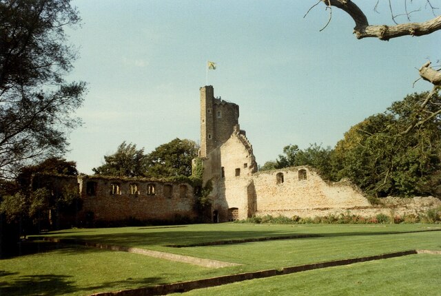
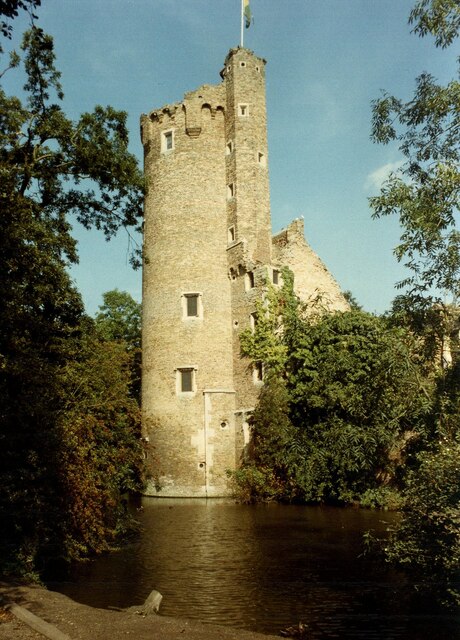
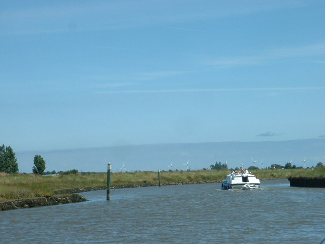
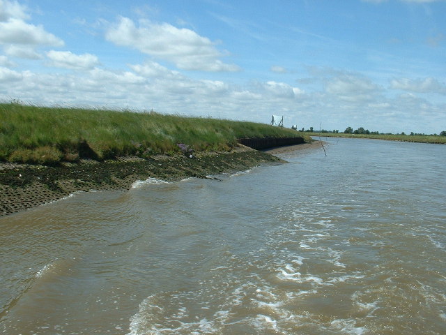
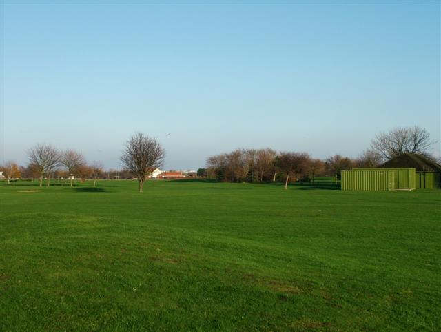
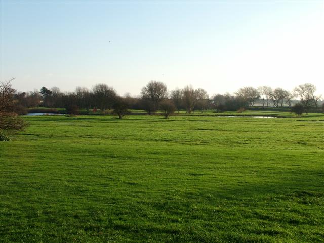
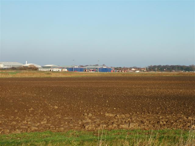
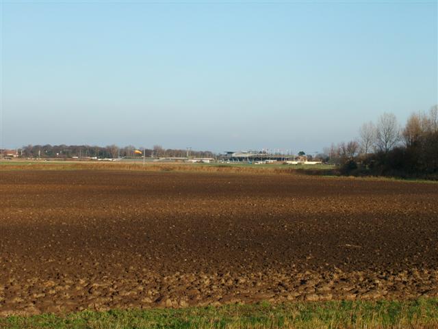
West Caister Images

Images are sourced within 2km of 52.637079/1.703302 or Grid Reference TG5010. Thanks to Geograph Open Source API. All images are credited.

Caister Castle Interior <span class="nowrap"><a title="https://historicengland.org.uk/listing/the-list/list-entry/1002882?section=official-listing" rel="nofollow ugc noopener" href="https://historicengland.org.uk/listing/the-list/list-entry/1002882?section=official-listing">Link</a><img style="margin-left:2px;" alt="External link" title="External link - shift click to open in new window" src="https://s1.geograph.org.uk/img/external.png" width="10" height="10"/></span>
Caister Castle Interior
Caister Castle Tower <span class="nowrap"><a title="https://historicengland.org.uk/listing/the-list/list-entry/1002882?section=official-listing" rel="nofollow ugc noopener" href="https://historicengland.org.uk/listing/the-list/list-entry/1002882?section=official-listing">Link</a><img style="margin-left:2px;" alt="External link" title="External link - shift click to open in new window" src="https://s1.geograph.org.uk/img/external.png" width="10" height="10"/></span>
Caister Castle Tower
River Bure Near Great Yarmouth. The Wind Farm which is visible is the Scorby Sands farm, 3km off the coast.
River Bure
Near Great Yarmouth. The Wind Farm which is visible is the Scorby Sands farm, 3km off the coast.
River Bure Near Great Yarmouth, where the river is very tidal. The protective matting, to avoid erosion by tide and boat wash, is clearly visible.
River Bure
Near Great Yarmouth, where the river is very tidal. The protective matting, to avoid erosion by tide and boat wash, is clearly visible.
Caister Lifeboat Station
Caister Castle
Caister Castle
Caister Castle
Caister Castle
The River Bure, Norfolk
Pitch and Putt, Caister, Great Yarmouth
Bure Park, Caister, Great Yarmouth
Heliport, Caister, Great Yarmouth Bristow helicopters serve the oil rigs in the North Sea from here.
Heliport, Caister, Great Yarmouth
Bristow helicopters serve the oil rigs in the North Sea from here.
The Greyhound Stadium, Caister, Great Yarmouth Taken from the bank of the River Bure.
The Greyhound Stadium, Caister, Great Yarmouth
Taken from the bank of the River Bure.
Caister Castle View from the top of Caister Castle
Caister Castle
View from the top of Caister Castle
Footbridge over A149 Caister Bypass West Caister, Norfolk
Footbridge over A149 Caister Bypass
West Caister, Norfolk
Roundabout A149 - B1159 Caister-on-Sea
The church of St Edmund The Martyr I expected this to be ruined as the map states 'remains of' but it is obviously in good condition. Perhaps this is only part of a larger site.
The church of St Edmund The Martyr
I expected this to be ruined as the map states 'remains of' but it is obviously in good condition. Perhaps this is only part of a larger site.
Oak Farm road
Oak Farm road
Roman Fort, Caister on Sea The partial excavated remains of a Roman 'Saxon Shore' fort, including wall and ditch sections and building foundations. Built around AD 200 for a unit of the Roman army and navy and occupied until the end of the 4th century.
Roman Fort, Caister on Sea
The partial excavated remains of a Roman 'Saxon Shore' fort, including wall and ditch sections and building foundations. Built around AD 200 for a unit of the Roman army and navy and occupied until the end of the 4th century.
Show me another place!

West Caister is located at Grid Ref: TG5010 (Lat: 52.637079, Lng: 1.703302)

Administrative County: Norfolk

District: Great Yarmouth

Police Authority: Norfolk

What 3 Words

///fear.alive.soak. Near Caister-on-Sea, Norfolk

Nearby Locations

West Caister

Related Wikis

West Caister

West Caister is a village and civil parish in the English county of Norfolk. It is situated just inland from the coast, some 2 km (1.2 mi) from the seaside...

Great Yarmouth – North Denes Airport

North Denes Airport (ICAO: EGSD) is a heliport that is located in the northern suburbs of Great Yarmouth, just off the A149 next to Yarmouth Stadium, formerly...
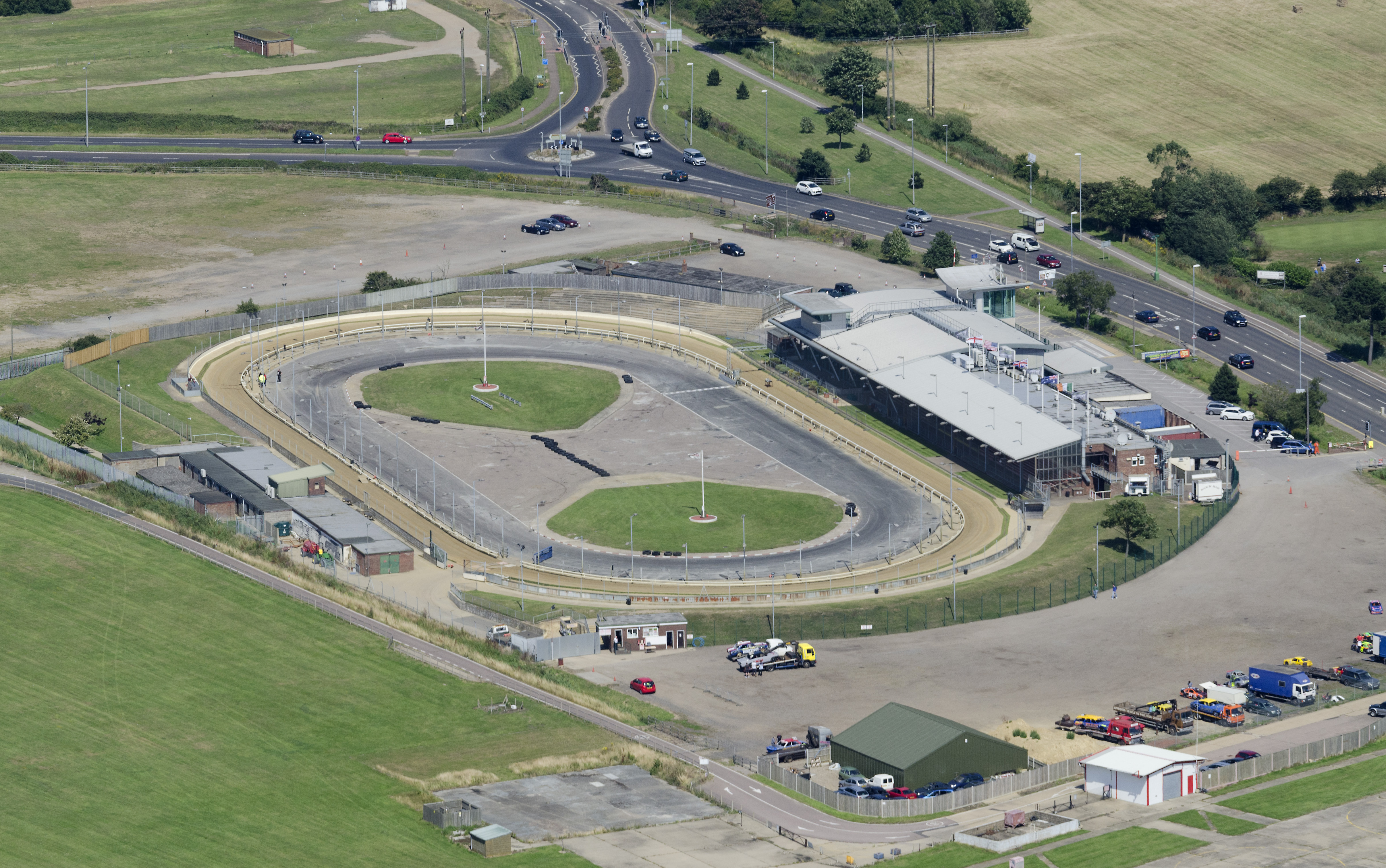
Yarmouth Stadium

Yarmouth Stadium is a greyhound racing track located at Caister-on-Sea in the Borough of Great Yarmouth and English county of Norfolk. It is licensed by...
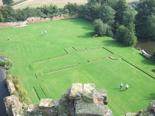
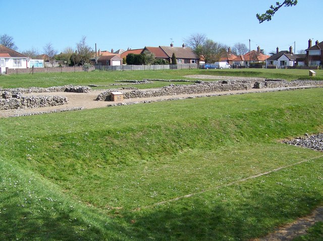
Caister Roman Site

Caister Roman Site is a Roman Saxon Shore fort, located in Caister-on-Sea, Norfolk, England. It was constructed around AD 200 for use by units of the Roman...

Nearby Amenities

Located within 500m of 52.637079,1.703302
Barrier: swing_gate
Lat/Long: 52.6379713/1.7056122
Barrier: cattle_grid
Lat/Long: 52.6380294/1.7056648
The data included in this document is from www.openstreetmap.org. The data is made available under ODbL.

Have you been to West Caister?

Leave your review of West Caister below (or comments, questions and feedback).