West Butterwick

Civil Parish in Lincolnshire

England

West Butterwick

High Street, East Butterwick
High Street, East Butterwick Credit: David Brown

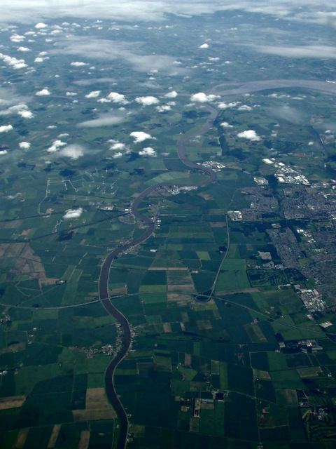
West Butterwick is a civil parish located in the North Lincolnshire district of Lincolnshire, England. Situated on the west bank of the River Trent, it lies approximately 6 miles north-west of Scunthorpe and 22 miles east of Doncaster. The parish covers an area of about 3.5 square miles and has a population of around 700 people.

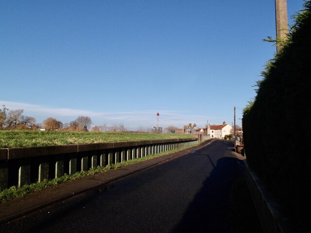
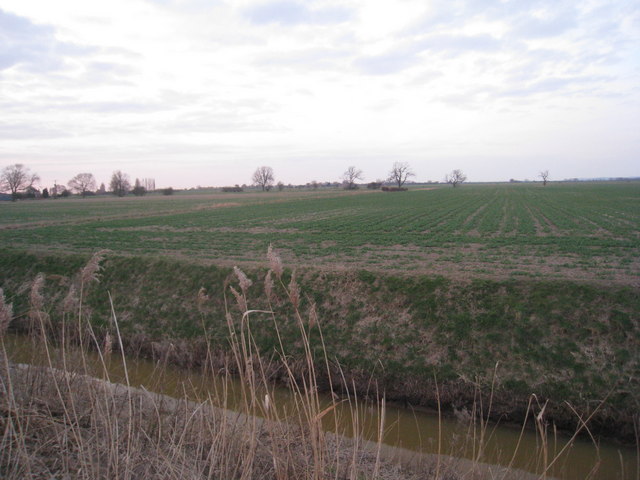
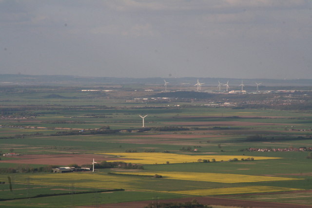
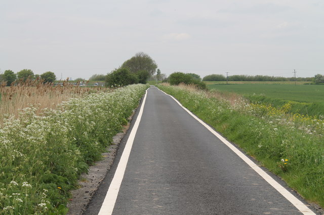
The village of West Butterwick is characterized by its rural setting and picturesque surroundings. It is primarily an agricultural area, with farming playing a significant role in the local economy. The landscape is dominated by open fields, farmland, and meadows, providing a tranquil and idyllic environment.

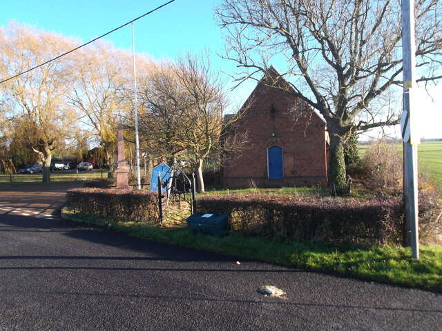
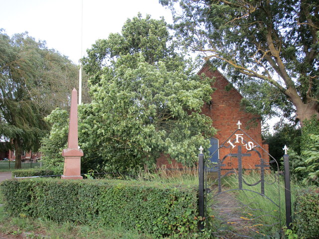
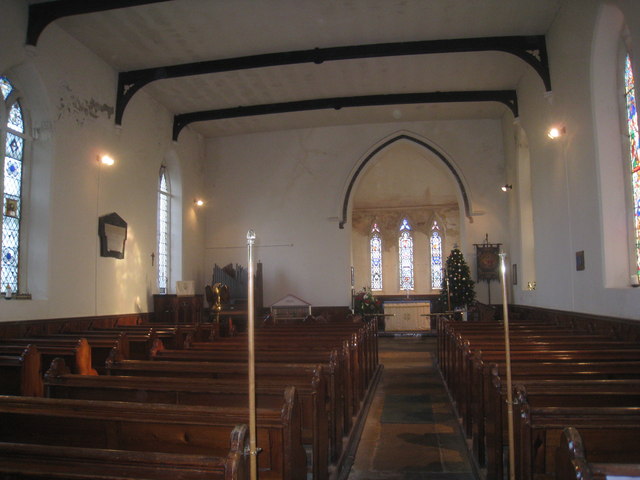
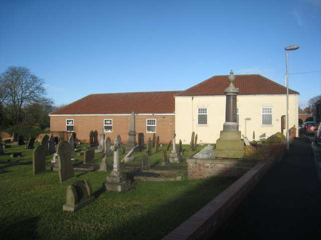
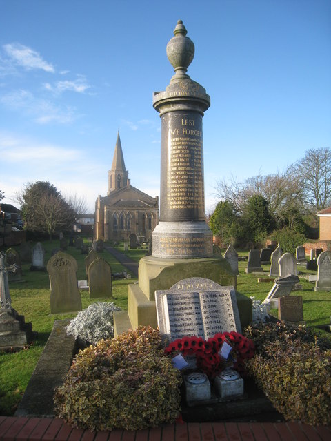
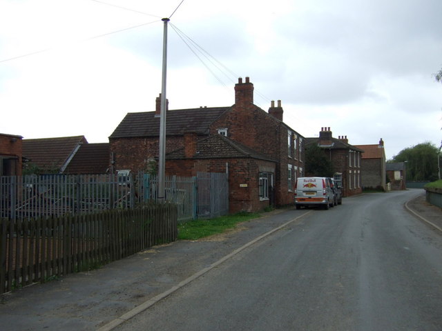
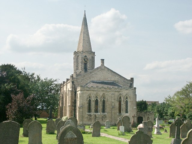
The village itself is small and tightly knit, consisting of a few residential streets and a central square. It has a village hall, a primary school, a church, and a pub, which serves as a social hub for the community. The local amenities cater to the daily needs of the residents, while larger towns nearby provide additional services and facilities.

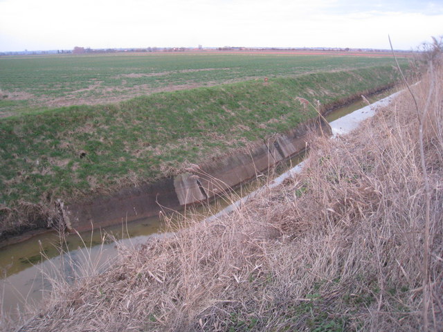
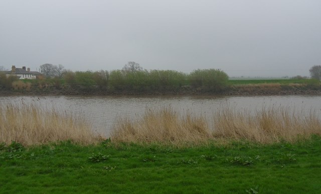
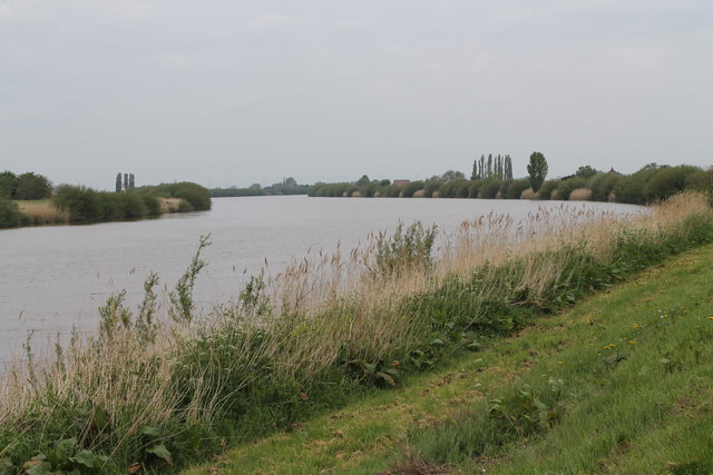
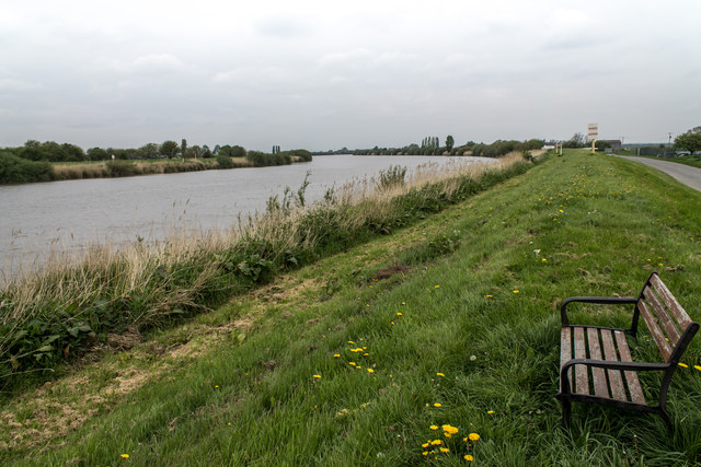
West Butterwick is known for its charming rural walks along the riverbank, attracting nature enthusiasts and visitors seeking outdoor activities. The River Trent offers opportunities for boating, fishing, and bird-watching, making it a popular destination for recreational pursuits.

Overall, West Butterwick is a peaceful and close-knit community, rich in natural beauty and rural charm. Its residents enjoy a quiet, countryside lifestyle while benefiting from the convenience of nearby towns and cities.

If you have any feedback on the listing, please let us know in the comments section below.

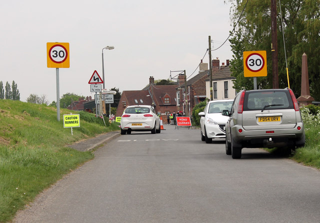
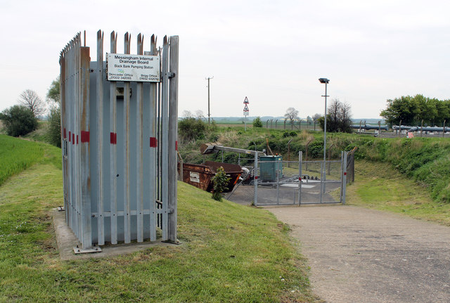
West Butterwick Images

Images are sourced within 2km of 53.534367/-0.755254 or Grid Reference SE8204. Thanks to Geograph Open Source API. All images are credited.

High Street, East Butterwick
Disused church, East Butterwick The shared Anglican and Methodist Church appears to be unused and neglected.
Disused church, East Butterwick
The shared Anglican and Methodist Church appears to be unused and neglected.
War memorial and the former St Andrew's church, East Butterwick St Andrew's church closed in about 2014.
War memorial and the former St Andrew's church, East Butterwick
St Andrew's church closed in about 2014.
View from Black Bank There's not a lot to see !
View from Black Bank
There's not a lot to see !
Former Sluice on West Common South Drain
Interior, St. Mary's, West Butterwick Briggs, 1841 A rather strange building which looks as if it ought to have a north arcade or gallery (or both). Despite this oddity it has excellent acoustics. <span class="nowrap"><a title="http://www.britishlistedbuildings.co.uk/en-165220-church-of-st-mary-west-butterwick-" rel="nofollow ugc noopener" href="http://www.britishlistedbuildings.co.uk/en-165220-church-of-st-mary-west-butterwick-">Link</a><img style="margin-left:2px;" alt="External link" title="External link - shift click to open in new window" src="https://s1.geograph.org.uk/img/external.png" width="10" height="10"/></span>
Interior, St. Mary's, West Butterwick
Briggs, 1841 A rather strange building which looks as if it ought to have a north arcade or gallery (or both). Despite this oddity it has excellent acoustics. LinkExternal link
West Butterwick War Memorial and Methodist Church
West Butterwick, War Memorials An unusual design for the First World War Memorial (a style rather more popular half a century earlier) and a rather more prosaic one for the Second World War. St. Mary's church in the background.
West Butterwick, War Memorials
An unusual design for the First World War Memorial (a style rather more popular half a century earlier) and a rather more prosaic one for the Second World War. St. Mary's church in the background.
North Lincs wind turbine dominated landscape The latest addition seems to be this 100ft turbine in the foreground, at a Farm marked "Common Farm" on the map, but the application states "Butterwick Grange Farm, West Butterwick".
Behind it is the turbine by the M180 bridge (<a href="https://www.geograph.org.uk/photo/3448982">SE8307 : New wind turbine, near the M180 bridge</a>), and behind that the windfarm next to Normanby Hall Country Park (<a href="https://www.geograph.org.uk/photo/3448859">SE8813 : Scunthorpe north: aerial 2013</a>).
Just off shot to the right are turbines at two more locations just south of Scunthorpe, and to the left a big windfarm near Goole.
North Lincs wind turbine dominated landscape
The latest addition seems to be this 100ft turbine in the foreground, at a Farm marked "Common Farm" on the map, but the application states "Butterwick Grange Farm, West Butterwick". Behind it is the turbine by the M180 bridge (SE8307 : New wind turbine, near the M180 bridge), and behind that the windfarm next to Normanby Hall Country Park (SE8813 : Scunthorpe north: aerial 2013). Just off shot to the right are turbines at two more locations just south of Scunthorpe, and to the left a big windfarm near Goole.
Across the Trent to Ings farm. Dull day beside the Trent.
Across the Trent to Ings farm.
Dull day beside the Trent.
River Trent near the Butterwicks The River Trent is the third longest river in England (185 miles). It rises on Biddolph Moor, Staffordshire, then follows a generally north east to northerly path to join the River Ouse at Trent Falls. The Ouse & Trent combined form the Humber Estuary.
It is a very important river, economically having a number of Power Stations and industrial sites along its banks. It is navigable as far as Burton-On-Trent.
Wikipedia: <span class="nowrap"><a title="http://en.wikipedia.org/wiki/River_Trent" rel="nofollow ugc noopener" href="http://en.wikipedia.org/wiki/River_Trent">Link</a><img style="margin-left:2px;" alt="External link" title="External link - shift click to open in new window" src="https://s1.geograph.org.uk/img/external.png" width="10" height="10"/></span>
River Trent near the Butterwicks
The River Trent is the third longest river in England (185 miles). It rises on Biddolph Moor, Staffordshire, then follows a generally north east to northerly path to join the River Ouse at Trent Falls. The Ouse & Trent combined form the Humber Estuary. It is a very important river, economically having a number of Power Stations and industrial sites along its banks. It is navigable as far as Burton-On-Trent. Wikipedia: LinkExternal link
Bench by the River Trent
Road closed at East Butterwick High Street Near the War Memorial, a race was in progress.
Road closed at East Butterwick High Street
Near the War Memorial, a race was in progress.
Black Bank Pumping Station Run by the Messingham Internal Drainage Board, based at Brigg and Doncaster.
Black Bank Pumping Station
Run by the Messingham Internal Drainage Board, based at Brigg and Doncaster.
Black Bank heading towards the River Trent
Monkey Puzzle Tree near Blacks Farm Commonly known as a Monkey Puzzle tree, it is a slow growing evergreen tree growing up to 40 m tall with a 2 m trunk diameter. It is native to central and southern Chile and western Argentina. It is the hardiest species of the conifer genus Araucaria.
The tree usually has male and female cones on separate trees and is a wind pollinated. The seeds are usually dispersed by birds and squirrels. They are edible, similar to large pinenuts. However the tree does not yield seeds until it is around 30 to 40 years old. It is tolerant of temperatures down to -20°C, and coastal salt spray.
It was originally found in Chile in the 1780s and is the national tree of Chile.
Monkey Puzzle Tree near Blacks Farm
Commonly known as a Monkey Puzzle tree, it is a slow growing evergreen tree growing up to 40 m tall with a 2 m trunk diameter. It is native to central and southern Chile and western Argentina. It is the hardiest species of the conifer genus Araucaria. The tree usually has male and female cones on separate trees and is a wind pollinated. The seeds are usually dispersed by birds and squirrels. They are edible, similar to large pinenuts. However the tree does not yield seeds until it is around 30 to 40 years old. It is tolerant of temperatures down to -20°C, and coastal salt spray. It was originally found in Chile in the 1780s and is the national tree of Chile.
The River Trent from the air The confluence with the River Humber can be seen in the distance.
The River Trent from the air
The confluence with the River Humber can be seen in the distance.
High Street, East Butterwick Looking south beside the River Trent.
High Street, East Butterwick
Looking south beside the River Trent.
Show me another place!

West Butterwick is located at Grid Ref: SE8204 (Lat: 53.534367, Lng: -0.755254)

Unitary Authority: North Lincolnshire

Police Authority: Humberside

What 3 Words

///cleanest.saving.smothered. Near Belton, Lincolnshire

Nearby Locations

West Butterwick

Related Wikis

West Butterwick

West Butterwick is a village and civil parish in North Lincolnshire, England. It lies in the Isle of Axholme, approximately 4 miles (6 km) north-east...

East Butterwick

East Butterwick is a village and civil parish in North Lincolnshire, England. It lies in the Isle of Axholme, about 4 miles (6 km) north-east from Epworth...

River Eau

The River Eau ( YOO) is a 15-mile-long (24 km) tributary of the River Trent that flows through Lincolnshire, England.The Eau catchment lies between that...

Beltoft

Beltoft is a hamlet in the civil parish of Belton , North Lincolnshire, England. The village lies within the Isle of Axholme and is 4 miles (6 km) south...

Have you been to West Butterwick?

Leave your review of West Butterwick below (or comments, questions and feedback).