West Burton
Civil Parish in Nottinghamshire Bassetlaw
England
West Burton
West Burton is a civil parish located in the county of Nottinghamshire in England. Situated in the Bassetlaw district, the parish covers an area of approximately 8 square miles. It is a rural area characterized by its picturesque countryside and natural beauty.
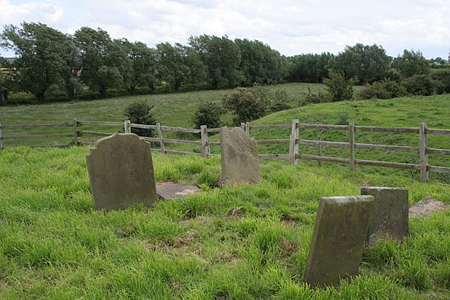
The village of West Burton is the main settlement within the parish. It is a small and tight-knit community with a population of around 200 residents. The village retains its traditional charm with a collection of well-preserved historic buildings, including a 12th-century church. There are also a few amenities available in the village, including a village hall and a pub.
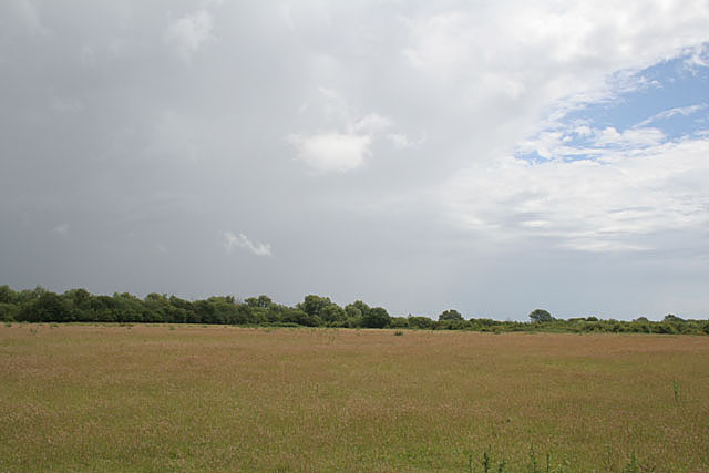
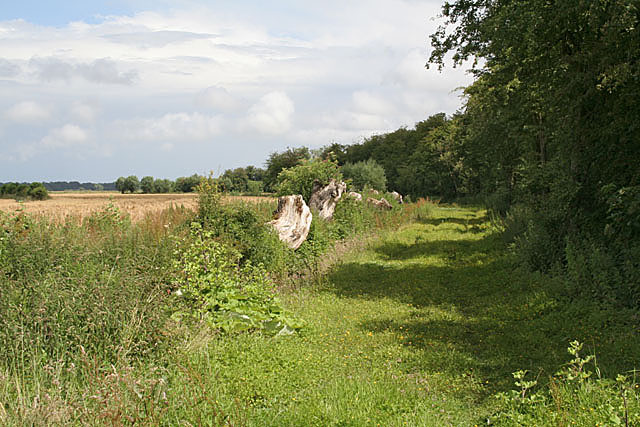
The surrounding landscape is dominated by farmland, rolling hills, and woodland areas. The area is known for its agricultural heritage and farming remains a significant part of the local economy. The fertile soil and favorable climate make it ideal for growing crops and rearing livestock.
West Burton is also home to a number of small businesses, mainly catering to the needs of the local community. The parish is well-connected to nearby towns and cities, with good transport links, including a nearby railway station.
Overall, West Burton is a quiet and peaceful area with a strong sense of community. It offers a tranquil retreat for those seeking a rural lifestyle while still providing access to amenities and nearby urban areas.
If you have any feedback on the listing, please let us know in the comments section below.
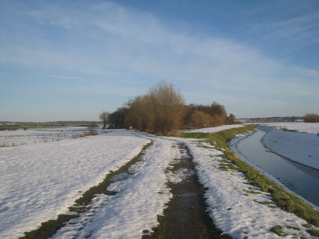
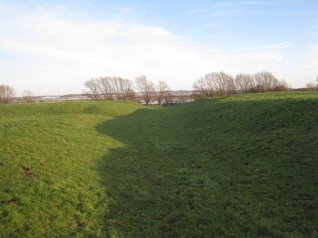
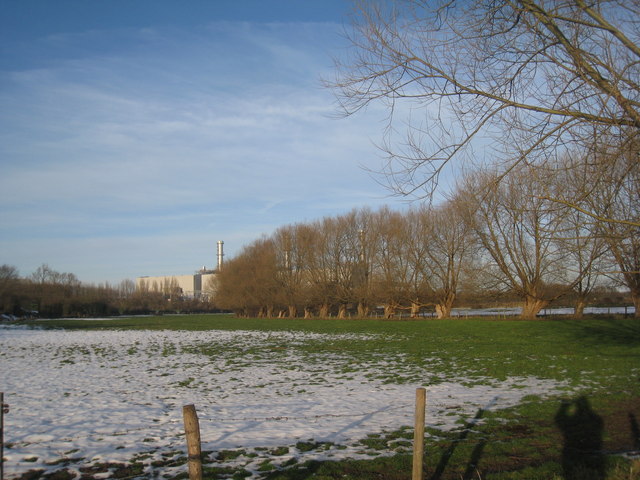
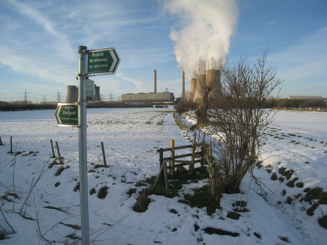
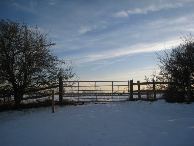
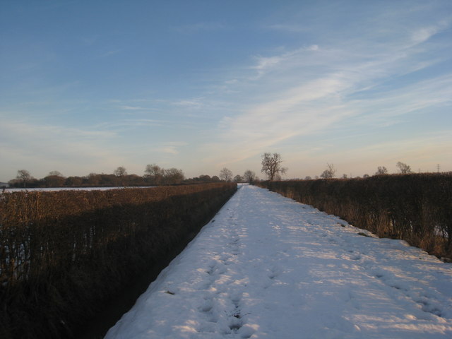
West Burton Images
Images are sourced within 2km of 53.363576/-0.80953 or Grid Reference SK7985. Thanks to Geograph Open Source API. All images are credited.
West Burton is located at Grid Ref: SK7985 (Lat: 53.363576, Lng: -0.80953)
Administrative County: Nottinghamshire
District: Bassetlaw
Police Authority: Nottinghamshire
What 3 Words
///gravy.once.parsnips. Near Gainsborough, Lincolnshire
Nearby Locations
Related Wikis
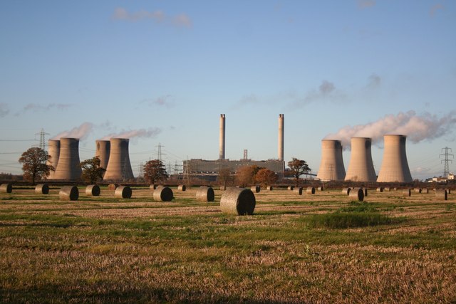
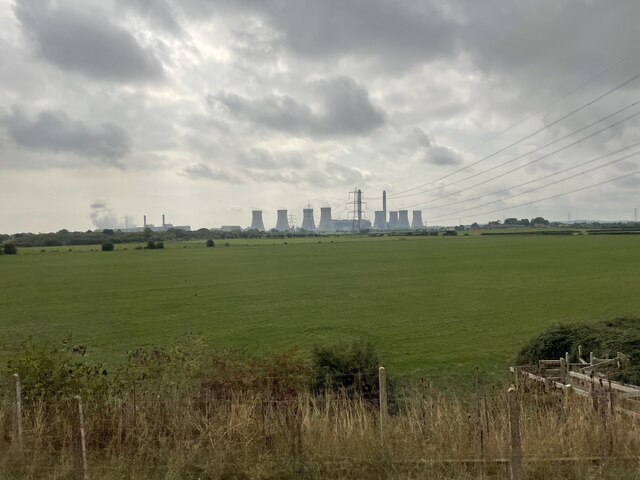
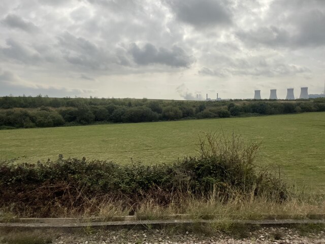
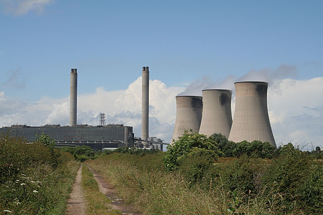
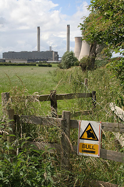
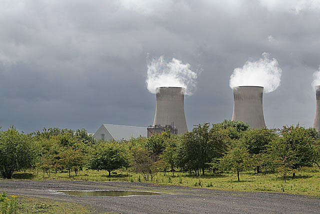
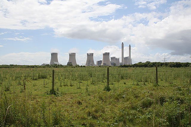
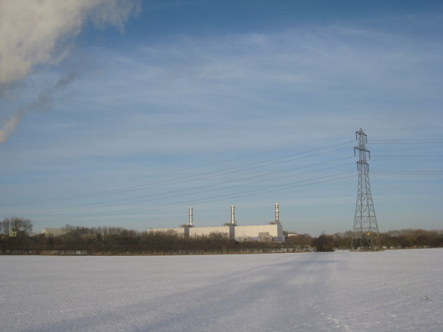
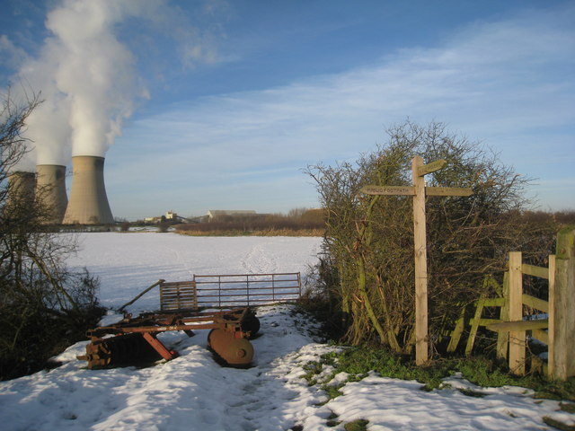
West Burton power stations
The West Burton power stations are a pair of power stations on the River Trent near Gainsborough, Lincolnshire, England. West Burton A was a coal-fired...

Spherical Tokamak for Energy Production
Spherical Tokamak for Energy Production (STEP) is a spherical tokamak fusion plant concept proposed by the United Kingdom Atomic Energy Authority (UKAEA...

West Burton, Nottinghamshire
West Burton is a hamlet and civil parish in Nottinghamshire, England, located in the north-east of the county within the district of Bassetlaw. It lies...

St Martin's Church, Bole
St Martin's Church is a Grade II listed parish church in the Church of England in Bole, Nottinghamshire. == History == The church dates from the 13th century...
Nearby Amenities
Located within 500m of 53.363576,-0.80953Have you been to West Burton?
Leave your review of West Burton below (or comments, questions and feedback).