West Burton Village
Heritage Site in Nottinghamshire Bassetlaw
England
West Burton Village
West Burton Village is a charming and picturesque heritage site nestled in the heart of Nottinghamshire, England. This idyllic village is renowned for its rich cultural history and well-preserved architecture, making it a popular destination for history enthusiasts and tourists alike.
Dating back to the medieval period, West Burton Village showcases a unique blend of architectural styles ranging from traditional timber-framed cottages to elegant Georgian and Victorian buildings. The village's historic charm is further enhanced by its cobbled streets and stone walls, creating a truly nostalgic atmosphere.
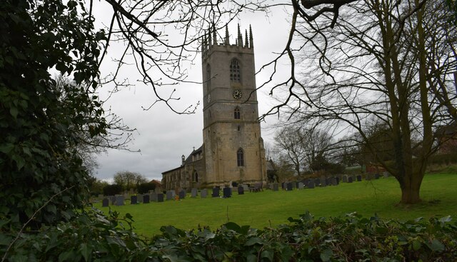
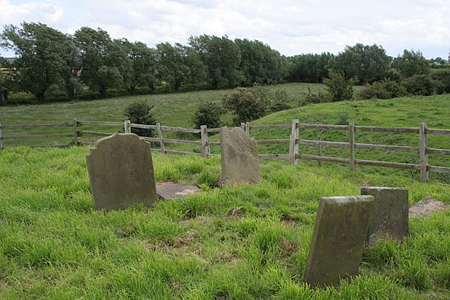
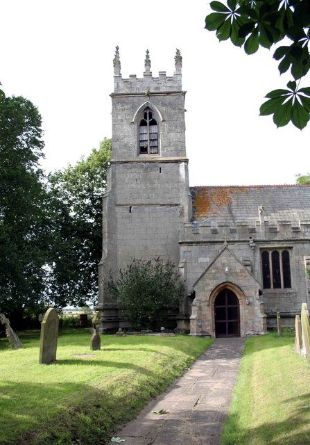
One of the standout features of West Burton Village is its ancient church, which dates back to the 12th century. This Norman church, dedicated to St. Helen, boasts intricate stained-glass windows and a beautifully preserved interior. Visitors can explore the church and marvel at its historical significance.
The village also offers several quaint tearooms, pubs, and shops where visitors can indulge in traditional English fare and browse through locally made crafts and souvenirs. The village green, a central focal point, is a perfect spot for a leisurely picnic or a game of cricket.
Surrounded by breathtaking natural beauty, West Burton Village is situated on the edge of the stunning Sherwood Forest. Visitors can take leisurely walks through the forest, exploring the ancient oak trees and discovering the legendary home of Robin Hood.
Overall, West Burton Village provides a captivating insight into England's architectural and cultural heritage. Its well-preserved buildings, historic church, and natural surroundings make it a must-visit destination for those seeking a glimpse into the past.
If you have any feedback on the listing, please let us know in the comments section below.
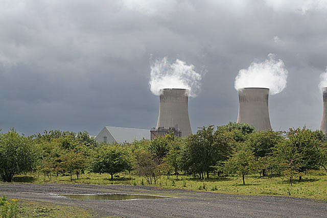
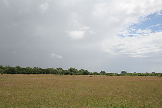
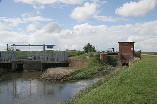
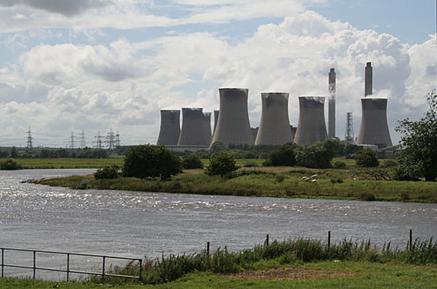
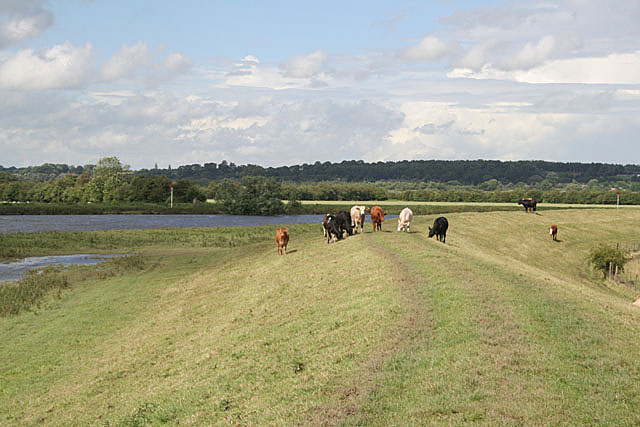
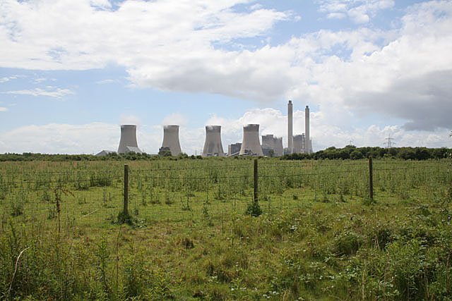
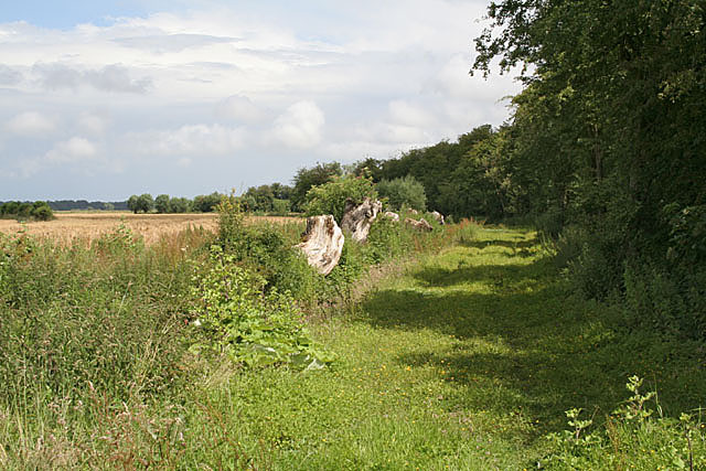
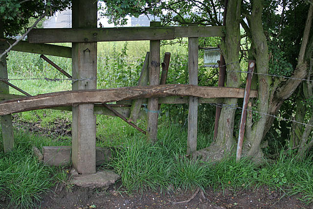
West Burton Village Images
Images are sourced within 2km of 53.36/-0.805 or Grid Reference SK7985. Thanks to Geograph Open Source API. All images are credited.
West Burton Village is located at Grid Ref: SK7985 (Lat: 53.36, Lng: -0.805)
Administrative County: Nottinghamshire
District: Bassetlaw
Police Authority: Nottinghamshire
What 3 Words
///brand.marketing.grounding. Near Gainsborough, Lincolnshire
Nearby Locations
Related Wikis

Spherical Tokamak for Energy Production
Spherical Tokamak for Energy Production (STEP) is a spherical tokamak fusion plant concept proposed by the United Kingdom Atomic Energy Authority (UKAEA...

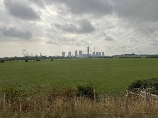
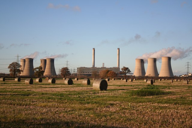
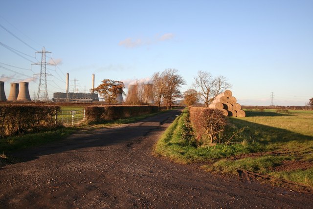
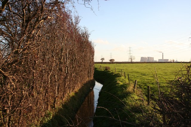
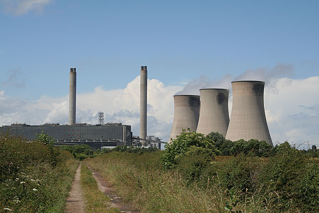
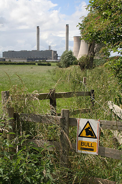
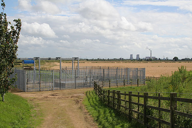
West Burton power stations
The West Burton power stations are a pair of power stations on the River Trent near Gainsborough, Lincolnshire, England. West Burton A was a coal-fired...

West Burton, Nottinghamshire
West Burton is a hamlet and civil parish in Nottinghamshire, England, located in the north-east of the county within the district of Bassetlaw. It lies...
Bole, Nottinghamshire
Bole is a village and civil parish in the Bassetlaw district of Nottinghamshire, England. It is close by the River Trent, on the eastern side of which...
Sturton le Steeple
Sturton le Steeple is a village located 6 miles (9.7 km) east of Retford, Nottinghamshire, England. According to the 2001 census it had a population (including...

St Martin's Church, Bole
St Martin's Church is a Grade II listed parish church in the Church of England in Bole, Nottinghamshire. == History == The church dates from the 13th century...
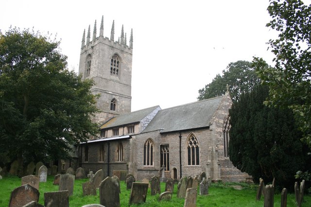
St Peter and St Paul's Church, Sturton-le-Steeple
St Peter and St Paul's Church, Sturton-le-Steeple is a Grade II* listed parish church in the Church of England in Sturton le Steeple, near Retford in Nottinghamshire...
Fenton, Nottinghamshire
Fenton is a hamlet in Nottinghamshire, England. It is about 9 kilometres (5.6 mi) east of Retford. Population details are included in the civil parish...
Nearby Amenities
Located within 500m of 53.36,-0.805Have you been to West Burton Village?
Leave your review of West Burton Village below (or comments, questions and feedback).