West Cornwall Centre
Heritage Site in Cornwall
England
West Cornwall Centre

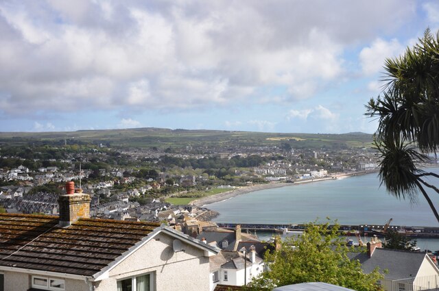
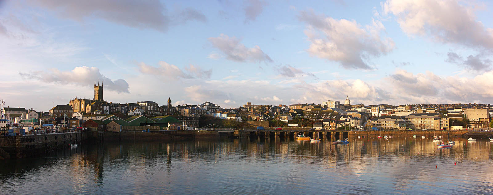
The West Cornwall Centre, located in Cornwall, is a renowned heritage site that showcases the rich history and culture of the region. Situated amidst picturesque landscapes, the centre offers visitors a unique opportunity to delve into the past and explore the fascinating heritage of Cornwall.
The centre is housed in a historic building that dates back to the 19th century, adding to its charm and authenticity. It features a comprehensive collection of artifacts, exhibits, and interactive displays that highlight various aspects of Cornwall's heritage, including its mining industry, maritime history, and artistic traditions.
One of the key highlights of the West Cornwall Centre is its mining section, which provides visitors with insights into the region's significant mining heritage. The exhibit includes original mining equipment, photographs, and personal accounts, allowing visitors to understand the challenges and triumphs of the miners who played a crucial role in shaping Cornwall's history.
The maritime section of the centre focuses on Cornwall's coastal heritage, showcasing the importance of fishing, boat building, and maritime trade in the region. Visitors can explore model ships, historical documents, and learn about the lives of fishermen and sailors.
Additionally, the West Cornwall Centre celebrates Cornwall's artistic heritage, with displays dedicated to renowned artists who were inspired by the region's natural beauty. The centre also hosts regular art exhibitions and workshops, providing a platform for local artists to showcase their talents.
Overall, the West Cornwall Centre is a captivating heritage site that offers visitors a comprehensive understanding of Cornwall's history, art, and culture. It serves as an essential destination for anyone interested in exploring the rich heritage of this beautiful region.
If you have any feedback on the listing, please let us know in the comments section below.
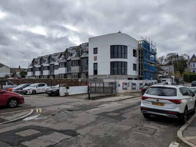
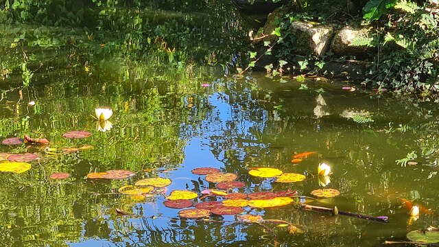
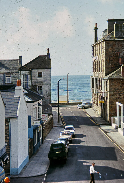
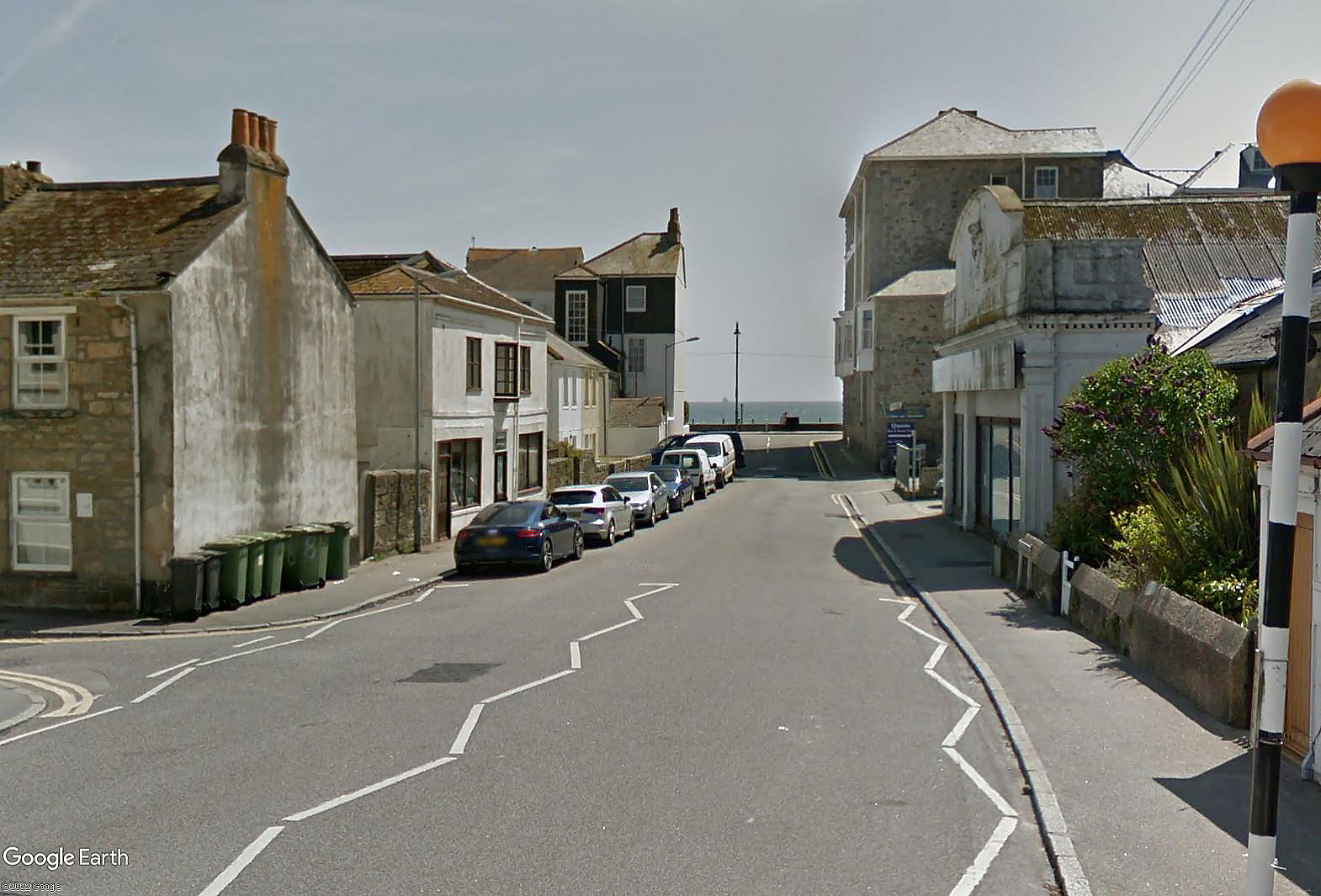
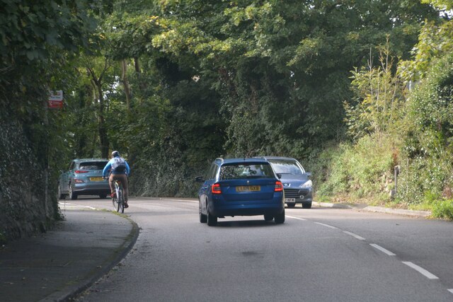
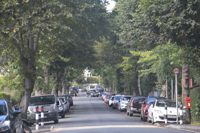
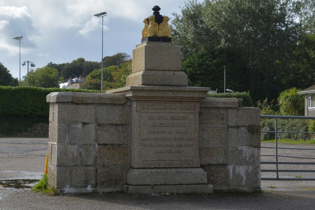
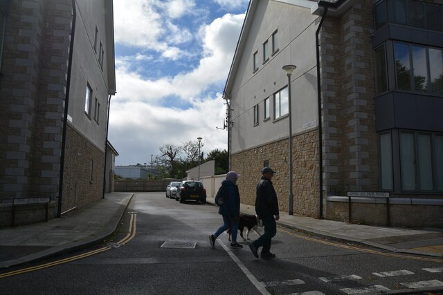
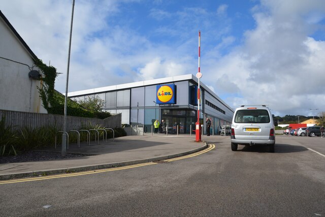
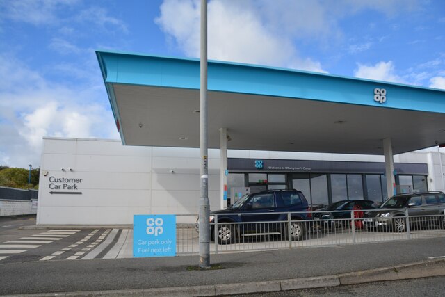
West Cornwall Centre Images
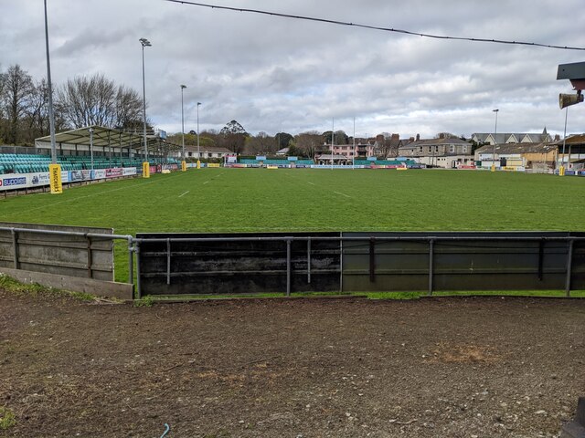
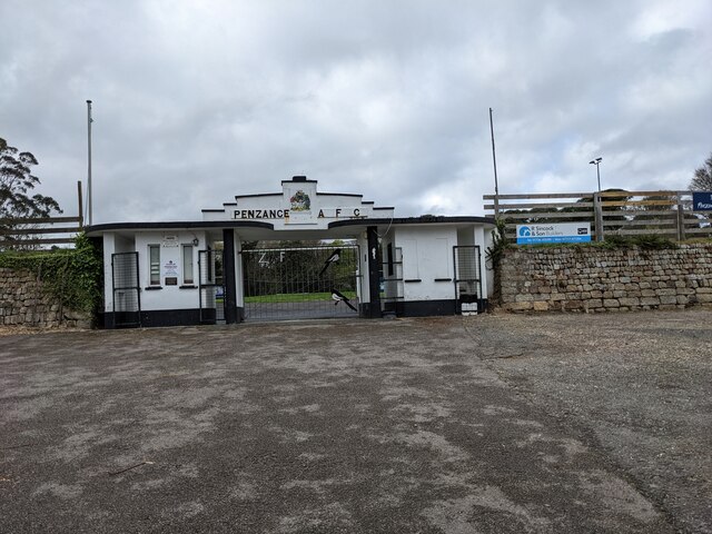
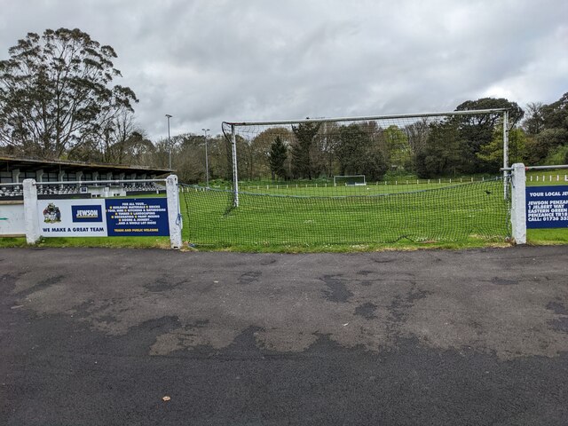
Images are sourced within 2km of 50.121/-5.532 or Grid Reference SW4730. Thanks to Geograph Open Source API. All images are credited.


West Cornwall Centre is located at Grid Ref: SW4730 (Lat: 50.121, Lng: -5.532)
Unitary Authority: Cornwall
Police Authority: Devon and Cornwall
What 3 Words
///catapult.leaky.neat. Near Penzance, Cornwall
Nearby Locations
Related Wikis

Penzance railway station
Penzance railway station (Cornish: Pennsans) serves the town of Penzance in west Cornwall, England. It is the terminus of the Cornish Main Line from Plymouth...
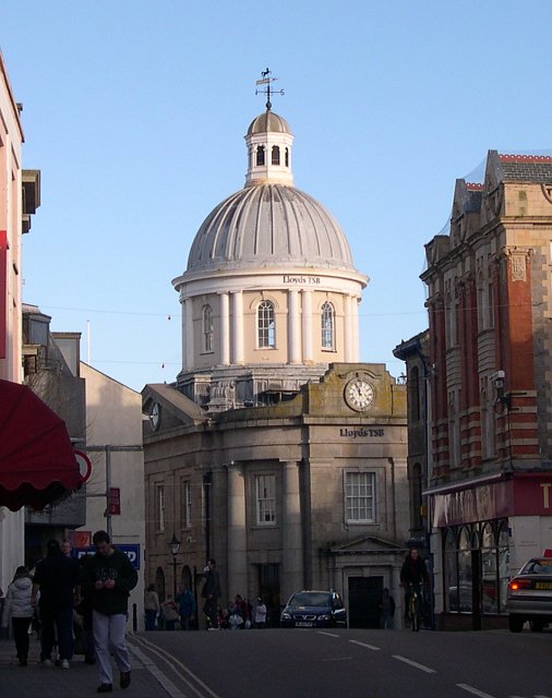
Market Building, Penzance
The Market Building in Penzance is a Grade I listed building situated at the top of Market Jew Street, Penzance. == History == The site of the Market Building...
Penzance
Penzance ( pen-ZANSS; Cornish: Pennsans) is a town, civil parish and port in the Penwith district of Cornwall, England, United Kingdom. It is the most...

Lescudjack Hill Fort
Lescudjack Hill fort is the name given to the unexcavated Iron Age settlement located in Penzance, Cornwall. It is positioned on the summit of a steep...
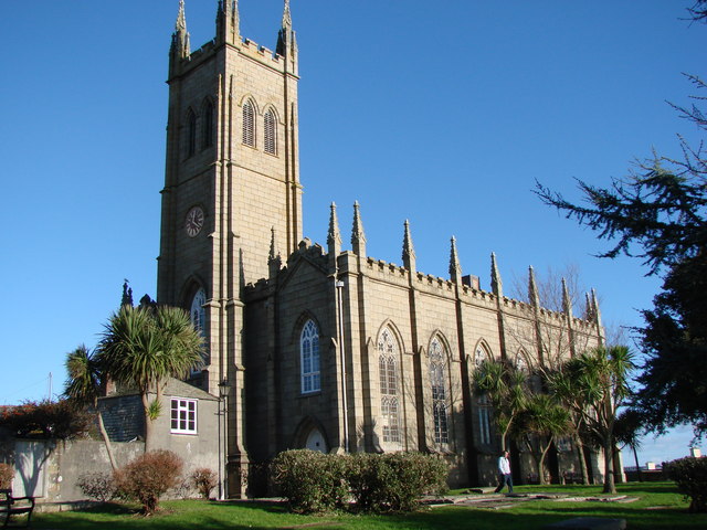
St Mary's Church, Penzance
St Mary's Church, Penzance is a Grade II* listed parish church in the Church of England in Penzance, Cornwall. == History == The site as a place of worship...

Open Shed
Open Shed was a hackerspace in Penzance, Cornwall. Founded in 2012 (closed May 2014 ) it provided space for people working in the tech community to meet...

South Pier, Penzance
South Pier is located in Penzance, Cornwall, England. The original pier predated 1512, but was rebuilt in the 18th century. The pier is a Grade II* listed...

Chyandour Brook
Chyandour Brook is a small river (brook) in west Cornwall, England. Rising in Boskednan in the civil parish of Madron, Chyandour Brook drains into Mount...
Nearby Amenities
Located within 500m of 50.121,-5.532Have you been to West Cornwall Centre?
Leave your review of West Cornwall Centre below (or comments, questions and feedback).