Annis Hill
Hill, Mountain in Somerset South Somerset
England
Annis Hill

Annis Hill, Somerset, located in the southwestern part of England, is a prominent hill that forms part of the Mendip Hills range. Standing at an elevation of approximately 152 meters (499 feet), it offers breathtaking views of the surrounding countryside. The hill is situated near the charming village of Chewton Mendip and is a popular destination for hikers, nature enthusiasts, and those seeking a peaceful retreat.
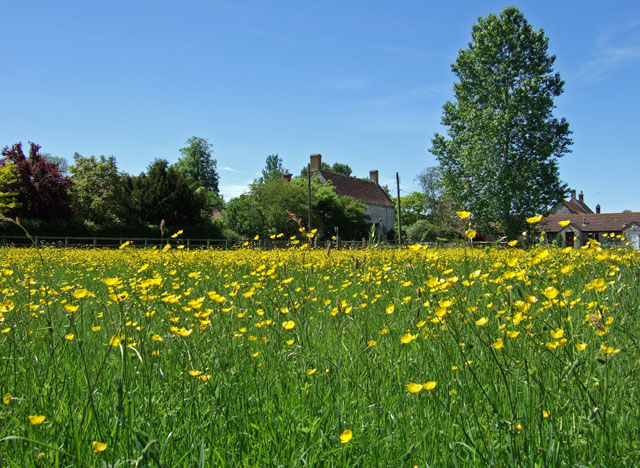
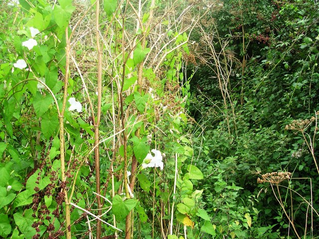
Annis Hill boasts a diverse range of flora and fauna, making it an ideal spot for wildlife observation. The hill is covered with lush grasslands and scattered trees, providing a habitat for numerous species of birds, butterflies, and small mammals. It is also home to a variety of wildflowers, including bluebells and orchids, which bloom during the spring and summer months, adding a vibrant touch to the landscape.
Hikers and walkers are drawn to Annis Hill due to its well-marked trails and scenic routes. The hill offers various paths of different difficulties, catering to both experienced trekkers and beginners. Upon reaching the summit, visitors are rewarded with breathtaking panoramic views, stretching across the picturesque Somerset countryside.
The area surrounding Annis Hill is rich in history, with several archaeological sites in the vicinity. Visitors can explore ancient burial mounds and stone circles, gaining insights into the region's past. Additionally, the hill is situated near the famous Cheddar Gorge, a dramatic limestone gorge that attracts tourists from around the world.
Annis Hill, with its natural beauty and historical significance, provides a serene and captivating experience for all who visit.
If you have any feedback on the listing, please let us know in the comments section below.
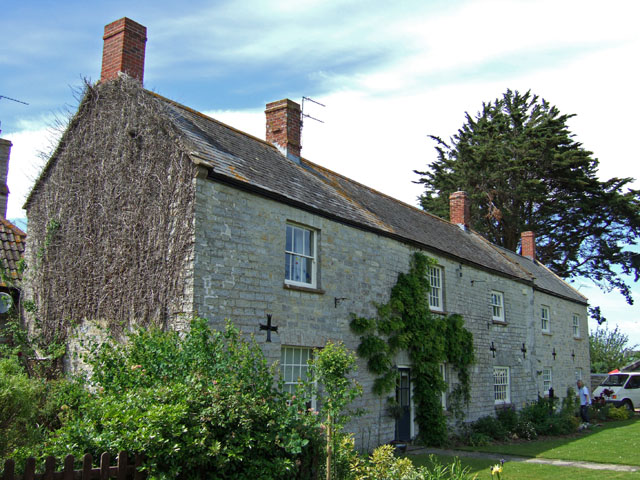
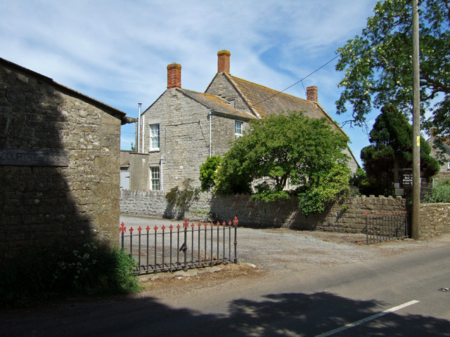
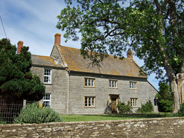
Annis Hill Images
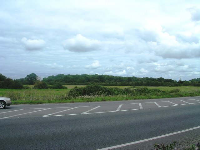
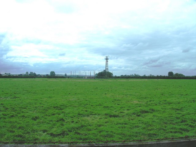
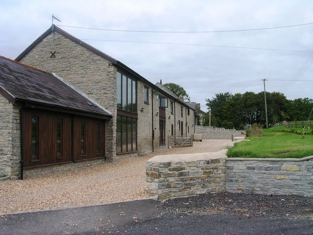
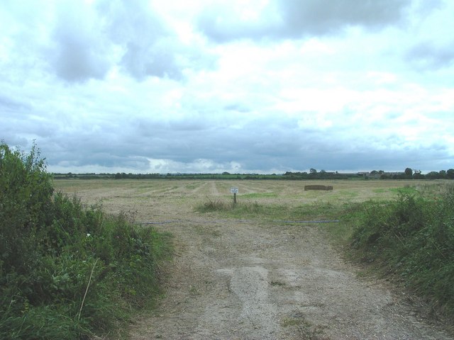
Images are sourced within 2km of 51.028008/-2.6274205 or Grid Reference ST5625. Thanks to Geograph Open Source API. All images are credited.


Annis Hill is located at Grid Ref: ST5625 (Lat: 51.028008, Lng: -2.6274205)
Administrative County: Somerset
District: South Somerset
Police Authority: Avon and Somerset
What 3 Words
///poets.commander.roadblock. Near Ilchester, Somerset
Nearby Locations
Related Wikis

Church of St Peter, Yeovilton
The Church of St Peter at Podimore in the parish of Yeovilton, Somerset, England, dates from the early 14th century and has been designated as a Grade...

West Camel
West Camel is a village and civil parish in south Somerset, England, about 7 miles (11.3 km) north of the town of Yeovil. It lies either side of the River...

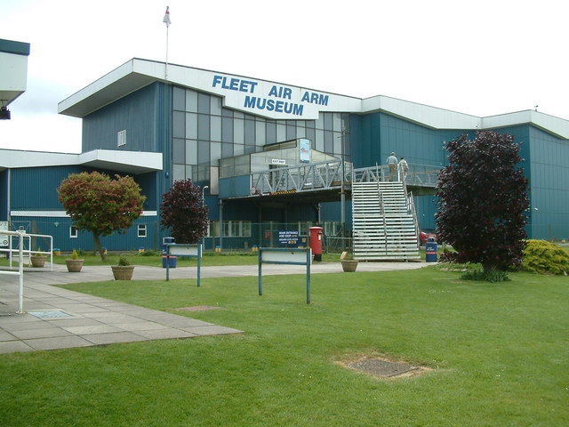
Fleet Air Arm Museum
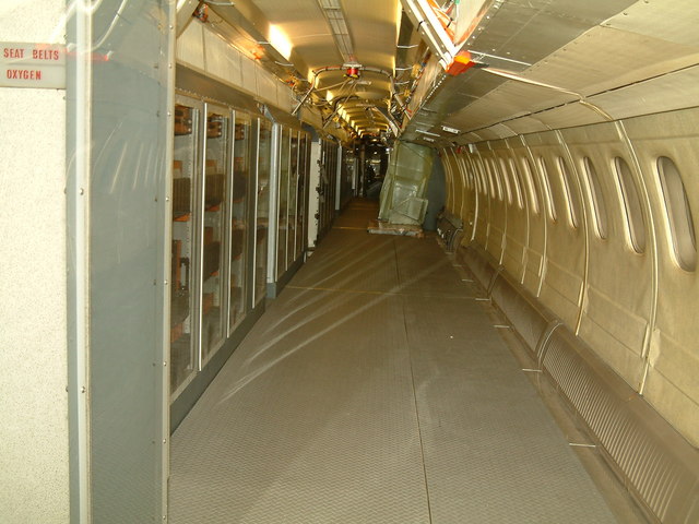
The Fleet Air Arm Museum is devoted to the history of British naval aviation. It has an extensive collection of military and civilian aircraft, aero engines...
RNAS Yeovilton (HMS Heron)
Royal Naval Air Station Yeovilton, commonly referred to as RNAS Yeovilton, (IATA: YEO, ICAO: EGDY) (HMS Heron) is a military airbase of the Royal Navy...
Nearby Amenities
Located within 500m of 51.028008,-2.6274205Have you been to Annis Hill?
Leave your review of Annis Hill below (or comments, questions and feedback).