Downhead
Settlement in Somerset South Somerset
England
Downhead

Downhead is a small rural village located in the county of Somerset, England. Situated approximately 8 miles southwest of Shepton Mallet, it is nestled within the picturesque Mendip Hills, offering breathtaking views of the surrounding countryside.
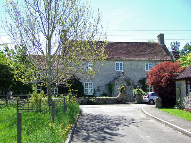
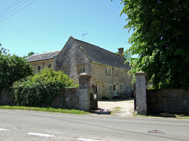
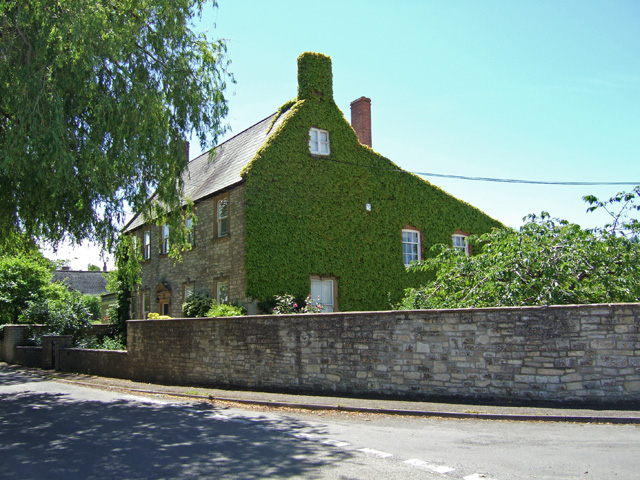
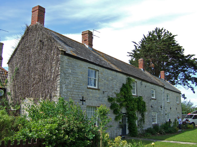
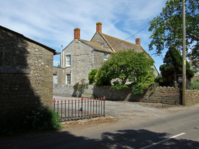
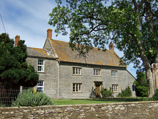
As of the 2011 census, Downhead had a population of around 200 people, making it a close-knit community where everyone knows one another. The village is characterized by its charming traditional stone cottages, many of which date back several centuries, adding to its quaint and historic atmosphere.
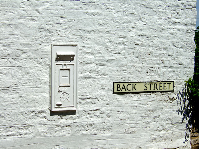
Despite its small size, Downhead has a few amenities to cater to its residents. The village is home to a local pub, providing a social hub for locals and visitors alike. Additionally, a small village hall offers space for community events and gatherings.
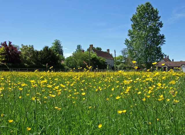
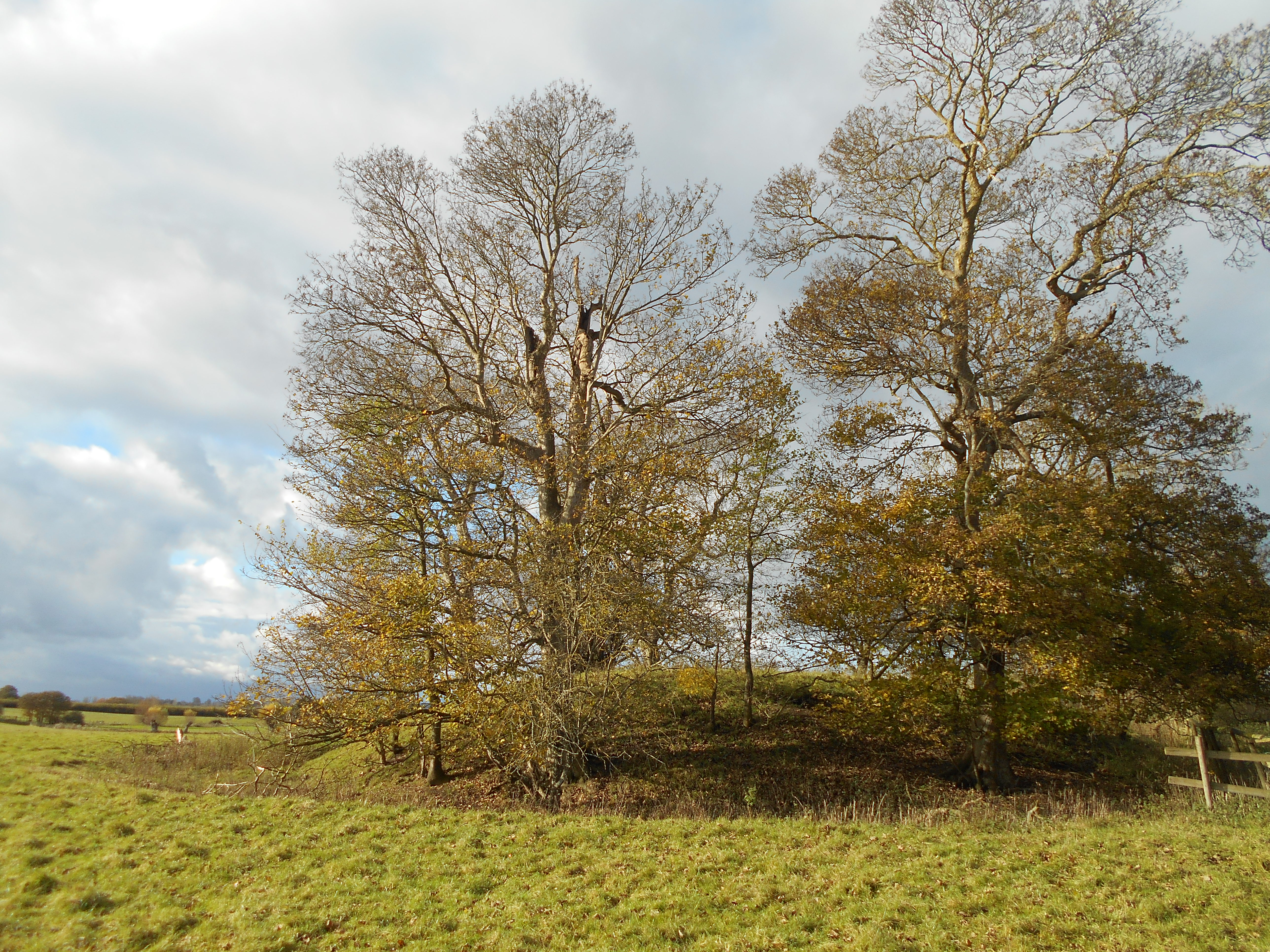
The area surrounding Downhead is renowned for its natural beauty, attracting outdoor enthusiasts and nature lovers. The Mendip Hills, designated as an Area of Outstanding Natural Beauty, offer numerous walking and cycling trails for exploration. Nearby attractions include the stunning Ebbor Gorge Nature Reserve and the famous Wookey Hole Caves.
Though primarily a residential area, Downhead benefits from its proximity to larger towns and cities. Shepton Mallet and Wells are both easily accessible, providing a range of amenities including shops, schools, and healthcare facilities.
Overall, Downhead offers a peaceful and idyllic lifestyle, combining the tranquility of rural living with the convenience of nearby amenities and stunning natural surroundings.
If you have any feedback on the listing, please let us know in the comments section below.
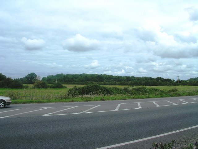
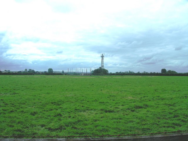
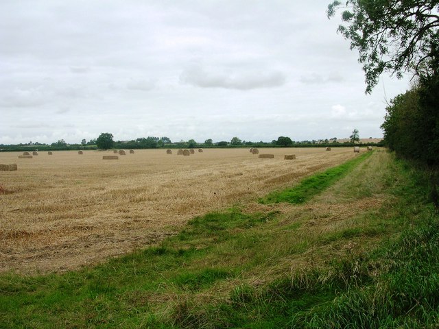
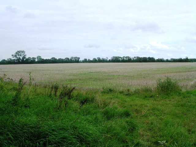
Downhead Images
Images are sourced within 2km of 51.025554/-2.618094 or Grid Reference ST5625. Thanks to Geograph Open Source API. All images are credited.

Downhead is located at Grid Ref: ST5625 (Lat: 51.025554, Lng: -2.618094)
Administrative County: Somerset
District: South Somerset
Police Authority: Avon and Somerset
What 3 Words
///arena.tradition.digs. Near Ilchester, Somerset
Nearby Locations
Related Wikis

West Camel
West Camel is a village and civil parish in south Somerset, England, about 7 miles (11.3 km) north of the town of Yeovil. It lies either side of the River...
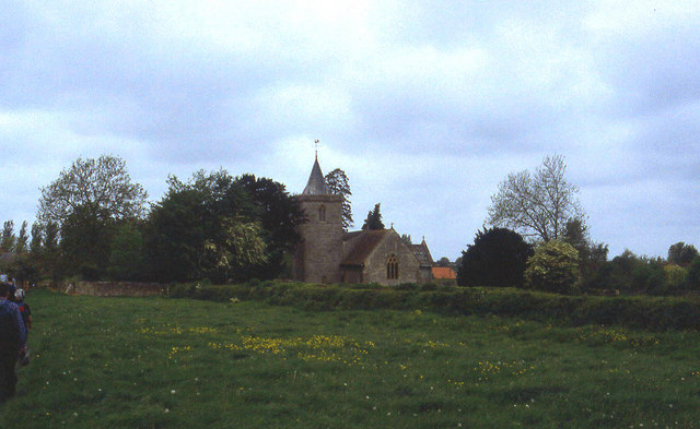
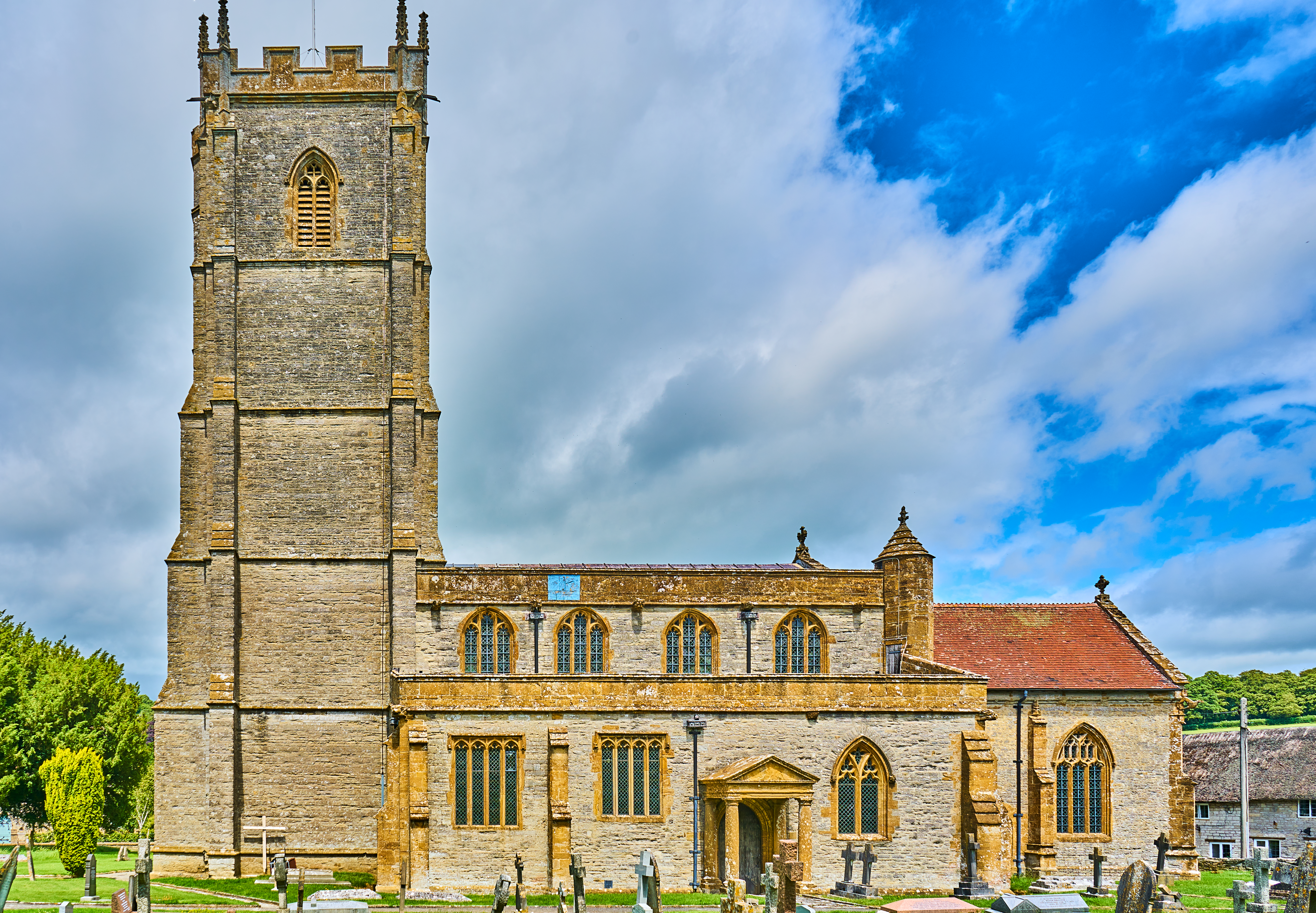
Church of All Saints, West Camel
The Church of All Saints in West Camel, Somerset, England, dates from the late 14th century and has been designated as a Grade I listed building.There...

Church of St Peter, Yeovilton
The Church of St Peter at Podimore in the parish of Yeovilton, Somerset, England, dates from the early 14th century and has been designated as a Grade...

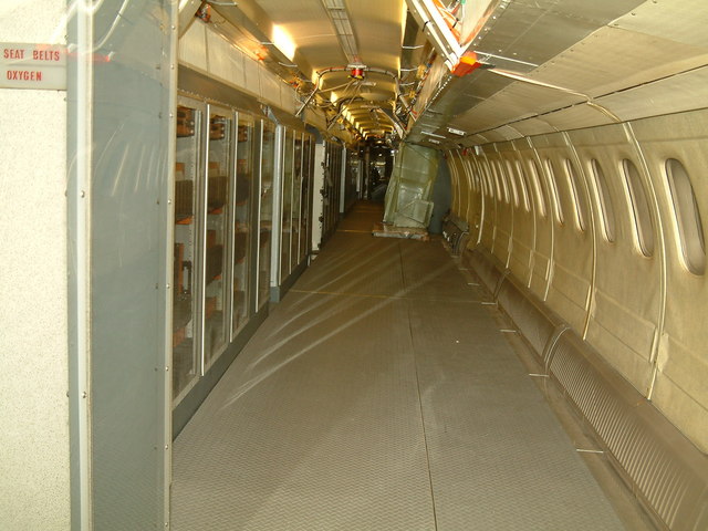
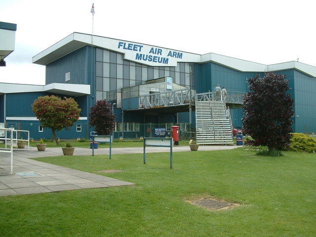
Fleet Air Arm Museum
The Fleet Air Arm Museum is devoted to the history of British naval aviation. It has an extensive collection of military and civilian aircraft, aero engines...

RNAS Yeovilton (HMS Heron)
Royal Naval Air Station Yeovilton, commonly referred to as RNAS Yeovilton, (IATA: YEO, ICAO: EGDY) (HMS Heron) is a military airbase of the Royal Navy...
Wimble Toot
Wimble Toot is a burial mound or, possibly, a motte built near the village of Babcary, Somerset, England. It is a scheduled ancient monument with a list...
Queen Camel
Queen Camel is a village and civil parish, on the River Cam and the A359 road, in the unitary authority of Somerset, England. It is about 7 miles (11.3...

Chilton Cantelo
Chilton Cantelo is a village and parish in Somerset, England, situated on the River Yeo 5 miles (8 km) north of Yeovil and 4 miles (6 km) east of Ilchester...
Nearby Amenities
Located within 500m of 51.025554,-2.618094Have you been to Downhead?
Leave your review of Downhead below (or comments, questions and feedback).