West Bedlington

Civil Parish in Northumberland

England

West Bedlington

Field, Netherton Beside the A192.
Field, Netherton Credit: Richard Webb

West Bedlington is a civil parish located in the county of Northumberland, England. It is situated approximately 12 miles north of Newcastle upon Tyne and 6 miles southeast of Morpeth. The parish covers an area of about 5 square miles and is home to a population of around 2,500 residents.

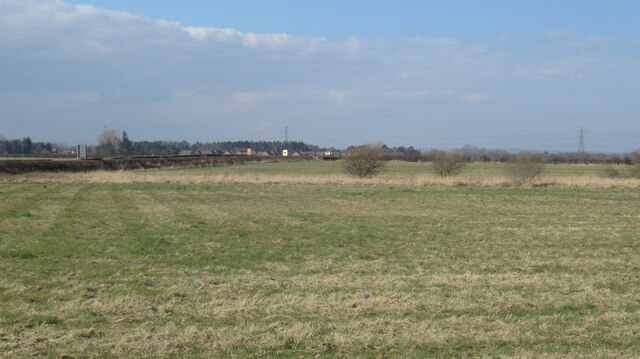
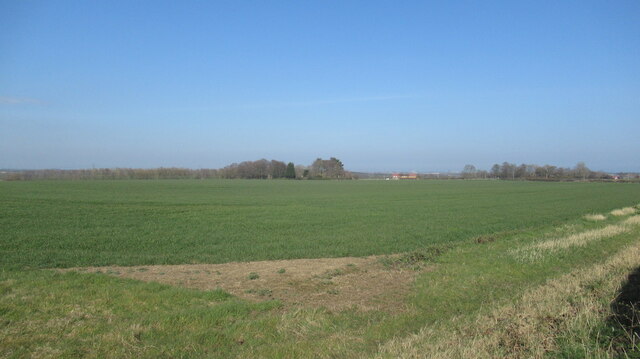
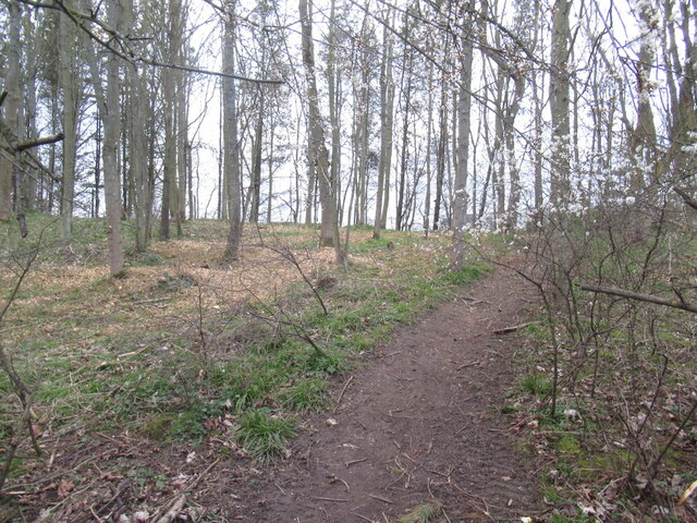
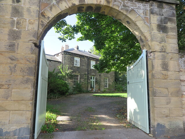
The landscape of West Bedlington is predominantly rural, characterized by rolling hills, open fields, and scattered farmhouses. The parish is surrounded by picturesque countryside, offering stunning views and ample opportunities for outdoor activities such as hiking, cycling, and horseback riding.

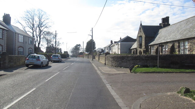
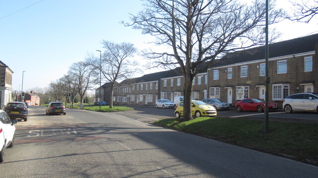
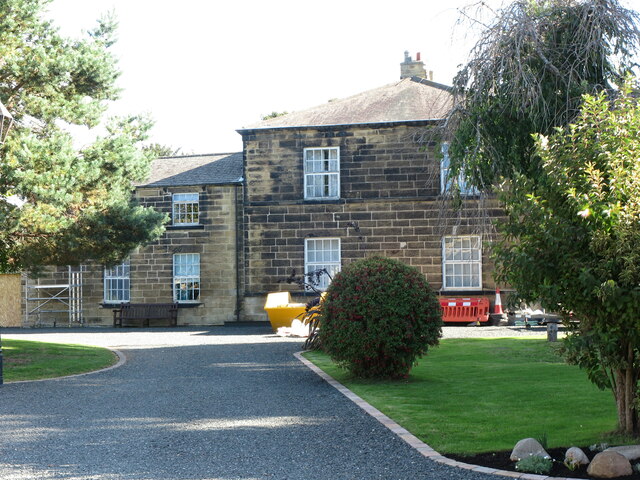
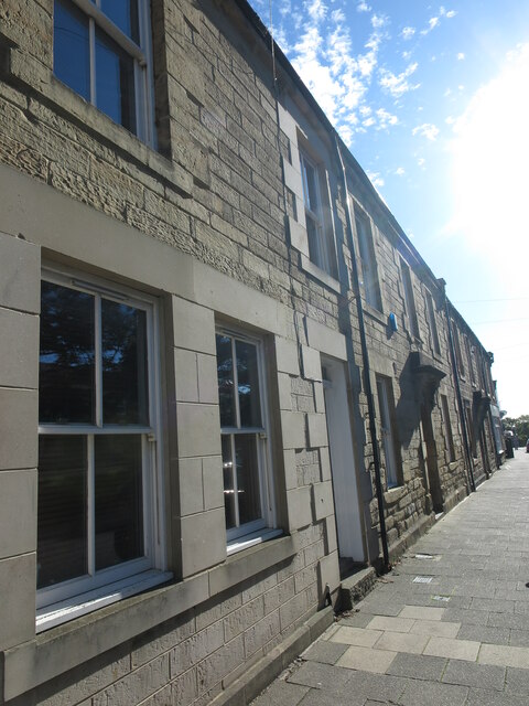
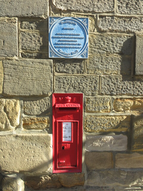
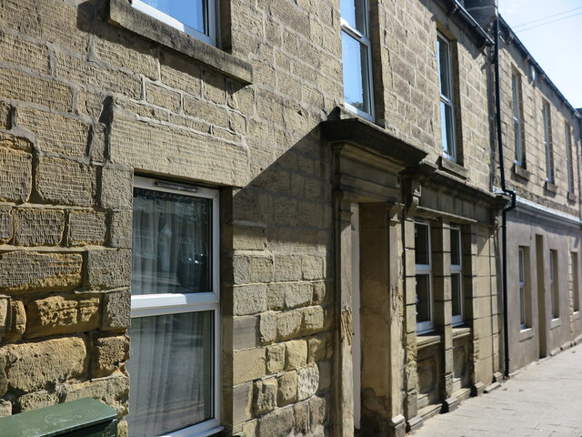
The village itself is small and quaint, with a charming mix of traditional stone cottages and more modern houses. It features a few amenities including a post office, a primary school, a village hall, and a local pub. The village also has a strong sense of community, with various events and activities organized throughout the year to bring residents together.

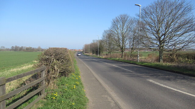
West Bedlington is well-connected to neighboring towns and cities via the A189 road, which runs through the parish, providing easy access to transportation routes. The nearby towns of Bedlington and Morpeth offer a wider range of amenities and services, including shops, supermarkets, healthcare facilities, and leisure centers.

Overall, West Bedlington offers a peaceful and idyllic setting for those seeking a rural lifestyle while still being within reach of urban amenities. Its beautiful countryside, close-knit community, and convenient location make it an attractive place to live or visit in Northumberland.

If you have any feedback on the listing, please let us know in the comments section below.

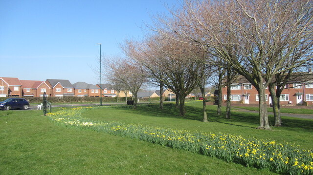
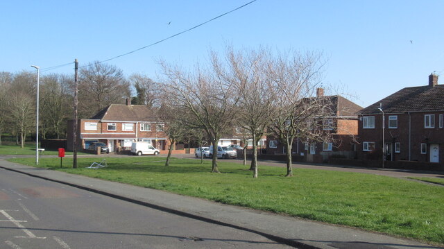
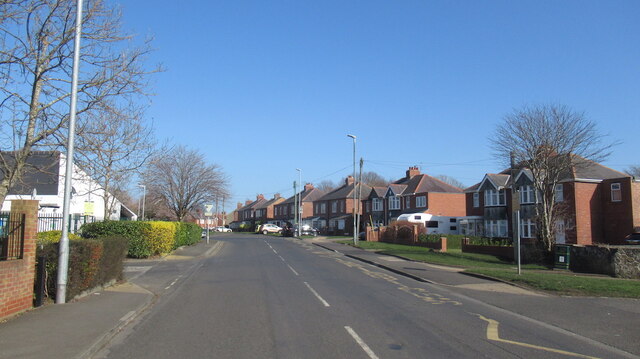
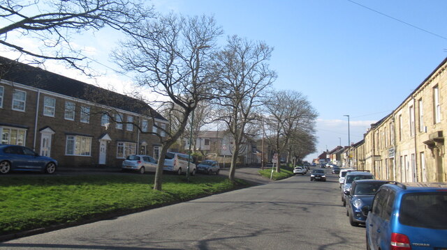
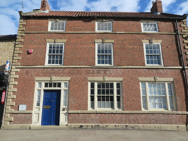
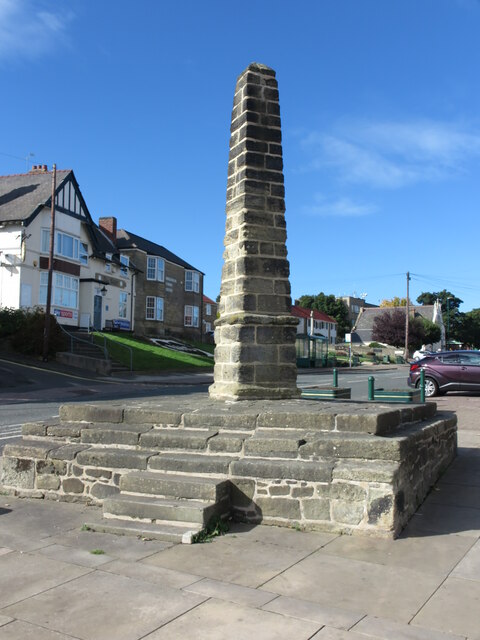
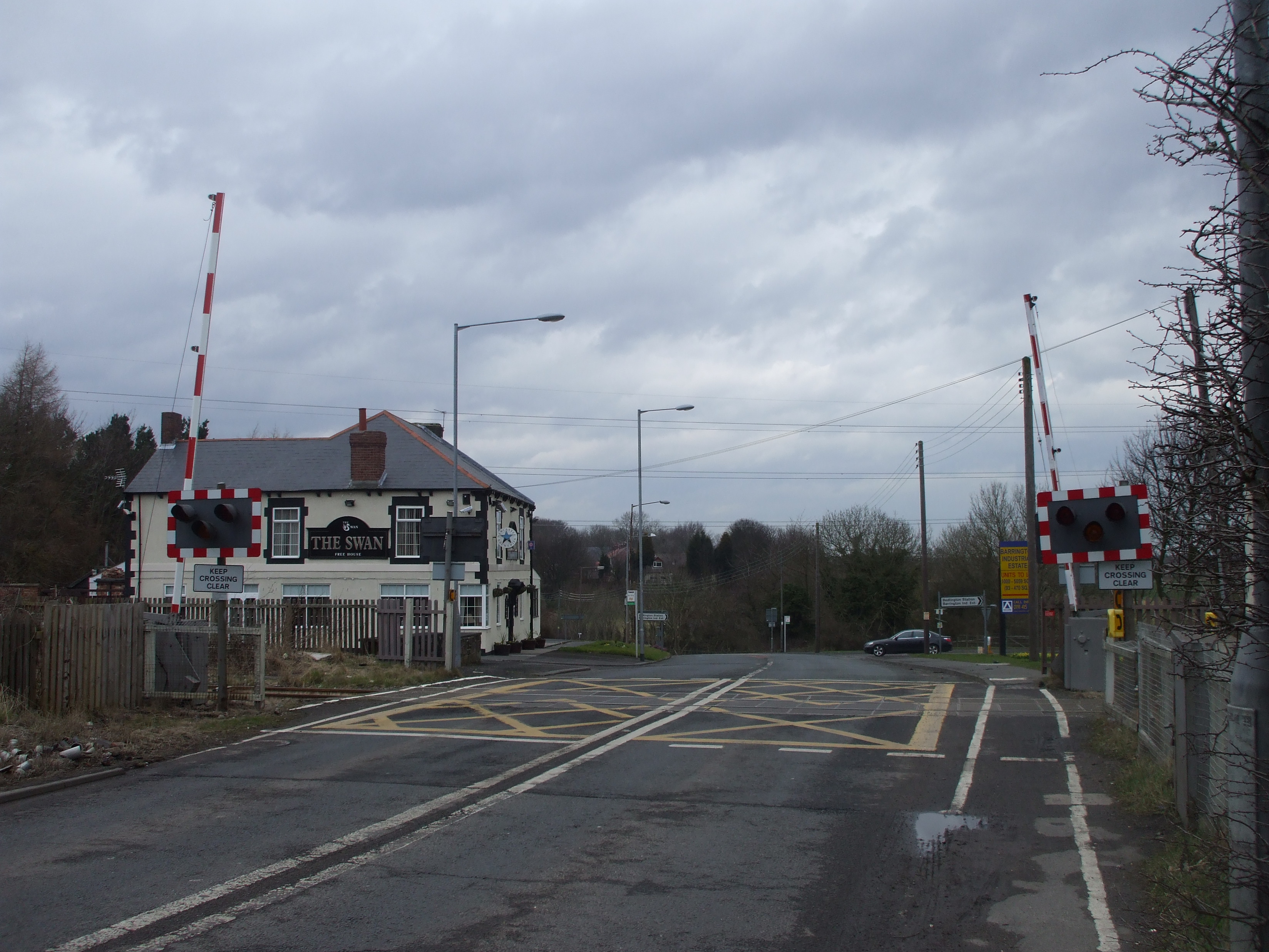
West Bedlington Images

Images are sourced within 2km of 55.129345/-1.616122 or Grid Reference NZ2481. Thanks to Geograph Open Source API. All images are credited.

Field, Netherton Beside the A192.
Field, Netherton
Beside the A192.
The Foulger, Nedderton
Arable land, Nedderton
B1331, Nedderton
B1331, Nedderton
Daffs off Netherton Lane, Bedlington
Netherton Lane, Bedlington
Netherton Road, Bedlington
Front Street East, Bedlington
Front Street East, Bedlington Taken from outside a hairdresser for dogs, looking towards Blyth.
Front Street East, Bedlington
Taken from outside a hairdresser for dogs, looking towards Blyth.
Plessey Woods Country Park A former quarry.
Plessey Woods Country Park
A former quarry.
Former Manager's House, Spring View, Bedlington This house, which is a Grade II Listed building, was once the home of the Manager of the Bedlington Iron Works which lay approximately 1 kilometre down stream. It was built in the early part of the 19th century of tooled-and-margined stone with a Welsh slate roof. It sits high above the River Blyth with excellent views eastwards.
Former Manager's House, Spring View, Bedlington
This house, which is a Grade II Listed building, was once the home of the Manager of the Bedlington Iron Works which lay approximately 1 kilometre down stream. It was built in the early part of the 19th century of tooled-and-margined stone with a Welsh slate roof. It sits high above the River Blyth with excellent views eastwards.
Victorian-Built Stone Terrace, Front Street East, Bedlington Whilst alterations have been made over time to this stretch of Front Street East, not least to the house nearest to the photographer which appears to have originally been a shop, the terrace retains much of its original charm.
Victorian-Built Stone Terrace, Front Street East, Bedlington
Whilst alterations have been made over time to this stretch of Front Street East, not least to the house nearest to the photographer which appears to have originally been a shop, the terrace retains much of its original charm.
Post Box, Front Street East, Bedlington This wall mounted box dating from the early part of the reign of Queen Victoria (1837-1901) is one of the oldest post boxes in Northumberland, and Bedlington is an important part of British postal history. The first adhesive stamp, the Penny Black, and the official stationery, the Mulready wrapper, came into official use on 6 May 1840, but had gone on sale on 1 May. On 2 May, a letter was sent to an A. W. Blenkinsop at the Bedlington Iron Works using a Mulready wrapper, making it the earliest known use of a pre-paid adhesive stamp in Britain. Ironically, Mr Blenkinsop had died 9 years earlier so the letter was forwarded, with a 4 May postmark to his family in Carlisle. Mulready stationery describes the postal stationery letter sheets and envelopes that were introduced as part of the British Post Office postal reforms of 1840. The Mulready name arises from the fact that William Mulready, a well-known artist of the time, was commissioned to illustrate the part of the letter sheets and envelopes which corresponded with the face area. The plaque above the post box forms part of the Bedlington Heritage Trail.
Post Box, Front Street East, Bedlington
This wall mounted box dating from the early part of the reign of Queen Victoria (1837-1901) is one of the oldest post boxes in Northumberland, and Bedlington is an important part of British postal history. The first adhesive stamp, the Penny Black, and the official stationery, the Mulready wrapper, came into official use on 6 May 1840, but had gone on sale on 1 May. On 2 May, a letter was sent to an A. W. Blenkinsop at the Bedlington Iron Works using a Mulready wrapper, making it the earliest known use of a pre-paid adhesive stamp in Britain. Ironically, Mr Blenkinsop had died 9 years earlier so the letter was forwarded, with a 4 May postmark to his family in Carlisle. Mulready stationery describes the postal stationery letter sheets and envelopes that were introduced as part of the British Post Office postal reforms of 1840. The Mulready name arises from the fact that William Mulready, a well-known artist of the time, was commissioned to illustrate the part of the letter sheets and envelopes which corresponded with the face area. The plaque above the post box forms part of the Bedlington Heritage Trail.
'Gibson's', Front Street East, Bedlington Due to their links with the Bedlington Iron Works, the Gibsons were well known in the town. They were nail makers and, at their peak in the late
18th century, up to 12 men would sit astride anvils, cutting split iron from the works to make nails. One of the women of the family would carry a sack of nails 5 miles to market in Morpeth. The Market Cross in the town is often referred to as the nail, both due to its shape and in recognition of the importance of that this trade was to the town. Later, the Gibson’s dealt in hardware and even banking. Parts of the smart shopfronts, some of which have been converted for housing, survive in this sand-built terrace.
'Gibson's', Front Street East, Bedlington
Due to their links with the Bedlington Iron Works, the Gibsons were well known in the town. They were nail makers and, at their peak in the late 18th century, up to 12 men would sit astride anvils, cutting split iron from the works to make nails. One of the women of the family would carry a sack of nails 5 miles to market in Morpeth. The Market Cross in the town is often referred to as the nail, both due to its shape and in recognition of the importance of that this trade was to the town. Later, the Gibson’s dealt in hardware and even banking. Parts of the smart shopfronts, some of which have been converted for housing, survive in this sand-built terrace.
Plaque, The former Gardener 's Arms, Front Street East, Bedlington This plaque, which forms part of the Bedlington Heritage Trail, is affixed to the building that was once the Gardener's Arms. The town of Bedlington is known the world over for the breed of terrier that bears its name. They were first bred here in the early 1800s, and were popular for sport. By the mid 20th century, the terriers were the sixth most popular dog in the USA. The Gardener’s Arms was at one time owned by a Ned Metcalf, who was a famed Bedlington Terrier breeder and, ironically, the property is currently occupied by Robson & Prescott Veterinary Surgeons.
Plaque, The former Gardener 's Arms, Front Street East, Bedlington
This plaque, which forms part of the Bedlington Heritage Trail, is affixed to the building that was once the Gardener's Arms. The town of Bedlington is known the world over for the breed of terrier that bears its name. They were first bred here in the early 1800s, and were popular for sport. By the mid 20th century, the terriers were the sixth most popular dog in the USA. The Gardener’s Arms was at one time owned by a Ned Metcalf, who was a famed Bedlington Terrier breeder and, ironically, the property is currently occupied by Robson & Prescott Veterinary Surgeons.
The Old Vicarage, Bedlington This fine former three-bay vicarage, which is a Grade II Listed building, was built in 1835 with an earlier 18th Century predecessor retained but relegated to use as service wing. It stands slightly to the east of the Church of St. Cuthbert.
The Old Vicarage, Bedlington
This fine former three-bay vicarage, which is a Grade II Listed building, was built in 1835 with an earlier 18th Century predecessor retained but relegated to use as service wing. It stands slightly to the east of the Church of St. Cuthbert.
Former Barclays Bank, Bedlington Formerly Barclays Bank, this fine brick-built building was originally a house. Dating from the late 18th Century it is a Grade II Listed building and is currently occupied by a firm of Lawyers.
Former Barclays Bank, Bedlington
Formerly Barclays Bank, this fine brick-built building was originally a house. Dating from the late 18th Century it is a Grade II Listed building and is currently occupied by a firm of Lawyers.
Market Cross, Market Place, Bedlington At an overall height of 4 metres, this Grade II Listed market cross makes its presence felt in Bedlington Market Place. The Cross, which is constructed of squared stone, is thought to have been erected in 1782, and in Victorian times it was a gathering place for public speakers. Protesters also made their mark with the radical working-class Chartists rallying support at the Cross in the 1830s against the so-called ‘despot’ of the Bedlington Iron Works, Michael Longridge. The Cross was nearly demolished in the 1970s, but luckily it was saved, and eventually restored in 2010.
Market Cross, Market Place, Bedlington
At an overall height of 4 metres, this Grade II Listed market cross makes its presence felt in Bedlington Market Place. The Cross, which is constructed of squared stone, is thought to have been erected in 1782, and in Victorian times it was a gathering place for public speakers. Protesters also made their mark with the radical working-class Chartists rallying support at the Cross in the 1830s against the so-called ‘despot’ of the Bedlington Iron Works, Michael Longridge. The Cross was nearly demolished in the 1970s, but luckily it was saved, and eventually restored in 2010.
Show me another place!

West Bedlington is located at Grid Ref: NZ2481 (Lat: 55.129345, Lng: -1.616122)

Unitary Authority: Northumberland

Police Authority: Northumbria

What 3 Words

///worthy.notes.stacks. Near Bedlington, Northumberland

Related Wikis

St Benet Biscop Catholic Academy

St. Benet Biscop Catholic Academy (formerly S. Benet Biscop Catholic High School) is a Roman Catholic high school in Bedlington, Northumberland, England...

Nedderton

Nedderton is a village in Northumberland, England about 4 miles (6 km) southeast of Morpeth, just off the A192 road. == History == In the early part of...

Plessey Woods Country Park

Plessey Woods is a country park situated on the north bank of the River Blyth, in Northumberland. The park is accessed from the A192 in the village of...

Bedlington Terriers F.C.

Bedlington Terriers Football Club is a football club based in Bedlington, England. The club are currently members of the Northern League Division Two and...

Choppington

Choppington is a large village and civil parish in Northumberland, England. It is situated 5 miles to the south-east of Morpeth, and north of Bedlington...

Choppington railway station

Choppington railway station served the village of Choppington, Northumberland, England from 1858 to 1964 on the Blyth and Tyne Railway. == History == The...

Bedlington Ironworks

Bedlington Ironworks, in Blyth Dene, Northumberland, England, operated between 1736 and 1867. It is most remembered as the place where wrought iron rails...

Bedlington

Bedlington is a town and former civil parish in Northumberland, England, with a population of 18,470 measured at the 2011 Census.Bedlington is an ancient...

Nearby Amenities

Located within 500m of 55.129345,-1.616122
Source: survey
Traffic Calming: cushion
Lat/Long: 55.1313364/-1.6154224
Pub
Netherton Workmans Club
Addr City: Bedlington
Addr Housenumber: 1a
Addr Postcode: NE22 6DP
Addr Street: Netherton Lane
Alt Name: Netherton Social Club
Fhrs Id: 288720
Lat/Long: 55.1320103/-1.6121413
Source: survey
Traffic Calming: cushion
Lat/Long: 55.1307877/-1.6153521
Noexit: yes
Lat/Long: 55.132802/-1.6174998
Noexit: yes
Lat/Long: 55.1329164/-1.6165213
Noexit: yes
Lat/Long: 55.1330059/-1.6162835
Post Box
Brand: Royal Mail
Brand Wikidata: Q638098
Collection Times: Mo-Fr 09:00; Sa 07:00
Operator: Royal Mail
Operator Wikidata: Q638098
Post Box Type: lamp
Postal Code: NE22 6DY
Ref: NE22 469
Royal Cypher: EIIR
Royal Cypher Wikidata: Q33102113
Lat/Long: 55.1314404/-1.6138353
Noexit: yes
Lat/Long: 55.1329282/-1.6173807
Bus Stop
Red House Farm, North Ridge
Bench: yes
Bin: no
Bus: yes
Departures Board: timetable
Naptan AtcoCode: 3100Z245821
Naptan NaptanCode: nldgmawg
Public Transport: platform
Shelter: yes
Tactile Paving: yes
Lat/Long: 55.1332173/-1.6169332
Noexit: yes
Lat/Long: 55.1334978/-1.6173332
Noexit: yes
Lat/Long: 55.1333679/-1.6170592
Noexit: yes
Lat/Long: 55.1334952/-1.6172784
Source: survey
Traffic Calming: cushion
Lat/Long: 55.131012/-1.6162459
Source: survey
Traffic Calming: cushion
Lat/Long: 55.1319962/-1.6179992
Source: survey
Traffic Calming: cushion
Lat/Long: 55.1327779/-1.6180603
Source: survey
Traffic Calming: cushion
Lat/Long: 55.1321526/-1.6101341
Source: survey
Traffic Calming: cushion
Lat/Long: 55.131917/-1.6113614
Bus Stop
Red House Farm, Netherton Lane
Bench: yes
Departures Board: timetable
Public Transport: platform
Shelter: yes
Lat/Long: 55.1313334/-1.6150479
Bus Stop
Bench: yes
Bin: no
Bus: yes
Public Transport: platform
Shelter: yes
Lat/Long: 55.1313376/-1.6158006
Noexit: yes
Lat/Long: 55.1333339/-1.6134269
Noexit: yes
Lat/Long: 55.1325838/-1.6188177
Noexit: yes
Lat/Long: 55.1317083/-1.6181311
Noexit: yes
Lat/Long: 55.1320564/-1.6183604
Bus Stop
Bench: yes
Bin: yes
Bus: yes
Naptan AtcoCode: 3100Z249820
Naptan NaptanCode: nldagwgm
Public Transport: platform
Shelter: yes
Lat/Long: 55.1321531/-1.6103669
Generator Method: photovoltaic
Generator Output Electricity: yes
Generator Source: solar
Generator Type: solar_photovoltaic_panel
Power: generator
Lat/Long: 55.1320486/-1.6119677
Bus Stop
Naptan AtcoCode: 3100Z247821
Naptan NaptanCode: nldgmawa
Lat/Long: 55.1332422/-1.613033
Bus Stop
Bench: no
Bin: yes
Bus: yes
Naptan AtcoCode: 3100Z246821
Naptan NaptanCode: nldgmawd
Public Transport: platform
Shelter: yes
Lat/Long: 55.133122/-1.6165301
Bus Stop
Bus: yes
Naptan AtcoCode: 3100Z248821
Naptan NaptanCode: nldgmatw
Public Transport: platform
Lat/Long: 55.1331248/-1.6125417
Bus Stop
Bus: yes
Public Transport: platform
Lat/Long: 55.1317161/-1.6121204
The data included in this document is from www.openstreetmap.org. The data is made available under ODbL.

Have you been to West Bedlington?

Leave your review of West Bedlington below (or comments, questions and feedback).