West Beckham
Civil Parish in Norfolk North Norfolk
England
West Beckham
West Beckham is a civil parish located in the county of Norfolk, England. It is situated approximately 4 miles south-east of the market town of Holt and 4 miles north-west of the coastal town of Sheringham. The parish covers an area of around 4 square miles and is home to a small population of approximately 150 residents.
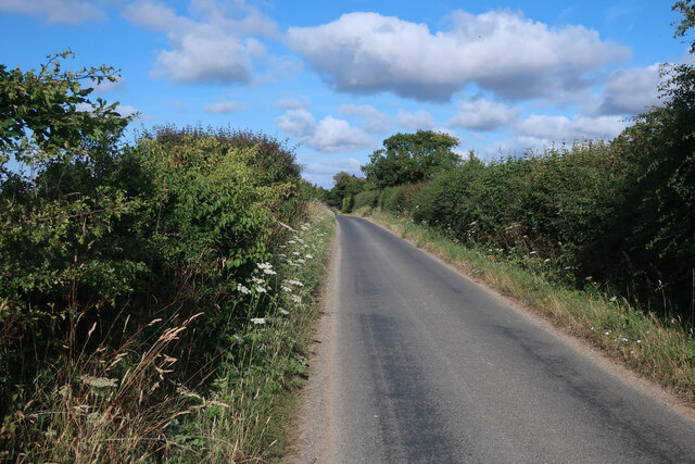
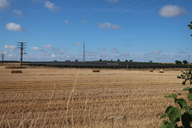
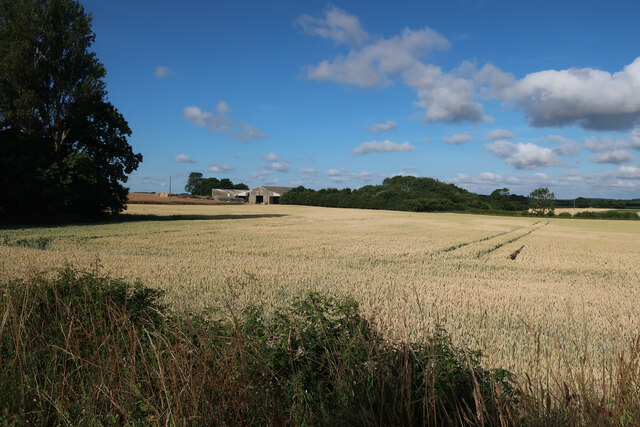
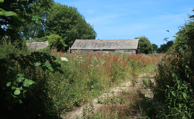
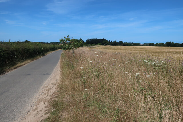
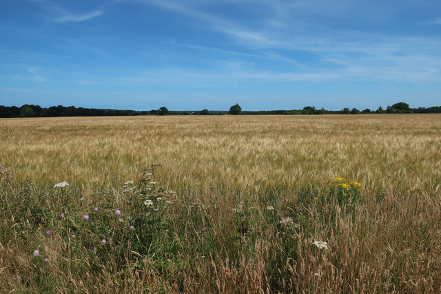
The village of West Beckham is characterized by its picturesque rural setting, with rolling hills, meadows, and woodlands surrounding the area. It is primarily an agricultural community, with farming being the main economic activity. The landscape is dotted with traditional farmhouses and barns, adding to the charm and character of the area.
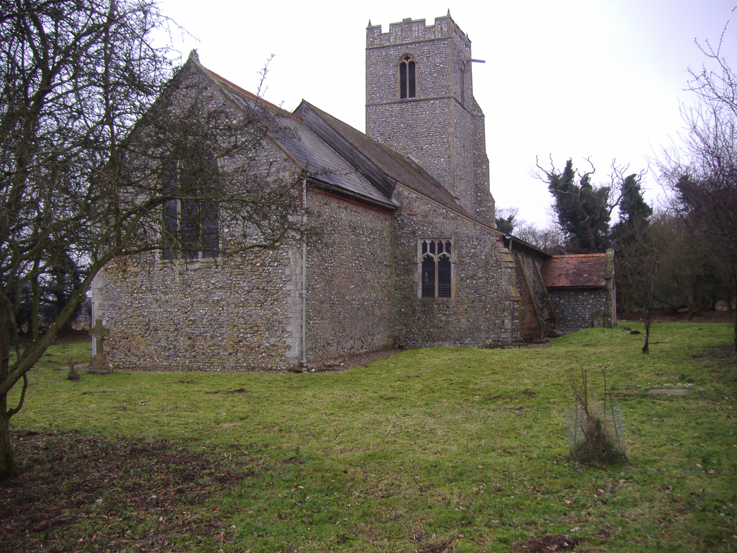
West Beckham is also known for its historic buildings and landmarks. One notable structure is the Church of St. Helen, a Grade II listed building dating back to the 14th century. The church features a beautiful nave, chancel, and tower, showcasing medieval architectural elements.
Despite its small size, West Beckham offers a range of amenities and services to its residents. These include a village hall, a primary school, and a local pub, providing a sense of community and social gathering spaces. The surrounding countryside also provides ample opportunities for outdoor activities such as walking, cycling, and exploring the nearby Norfolk Coast Area of Outstanding Natural Beauty.
Overall, West Beckham offers a peaceful and idyllic setting for those seeking a rural lifestyle in Norfolk. Its rich history, natural beauty, and close-knit community make it a desirable place to live or visit.
If you have any feedback on the listing, please let us know in the comments section below.
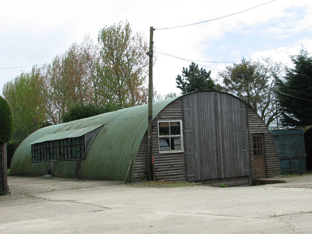
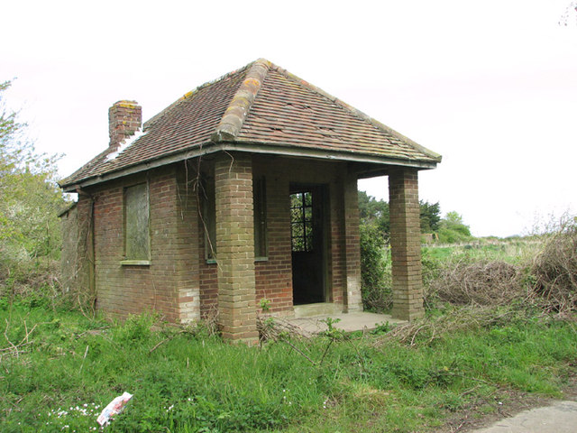
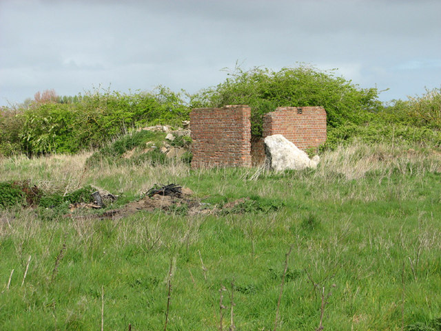
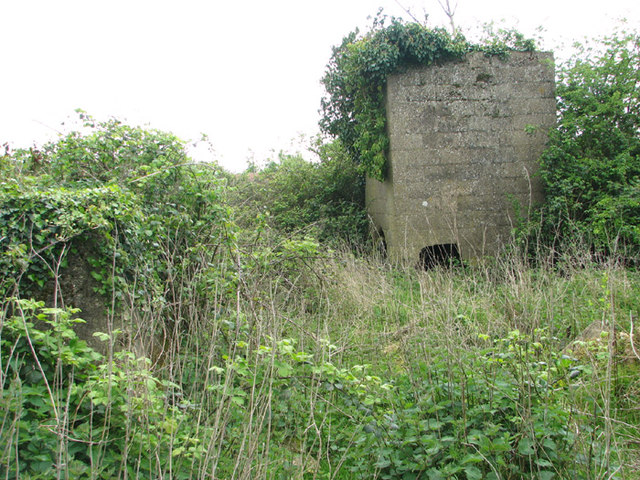
West Beckham Images
Images are sourced within 2km of 52.909263/1.184389 or Grid Reference TG1439. Thanks to Geograph Open Source API. All images are credited.
West Beckham is located at Grid Ref: TG1439 (Lat: 52.909263, Lng: 1.184389)
Administrative County: Norfolk
District: North Norfolk
Police Authority: Norfolk
What 3 Words
///factor.swooned.glossed. Near Sheringham, Norfolk
Nearby Locations
Related Wikis

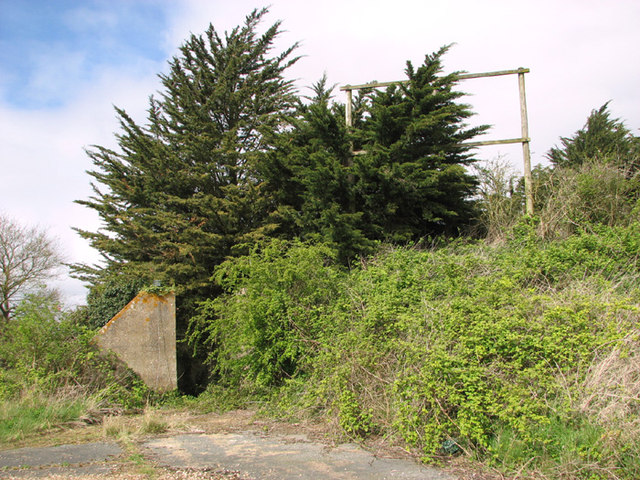
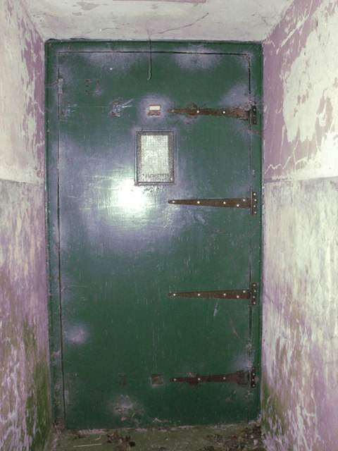
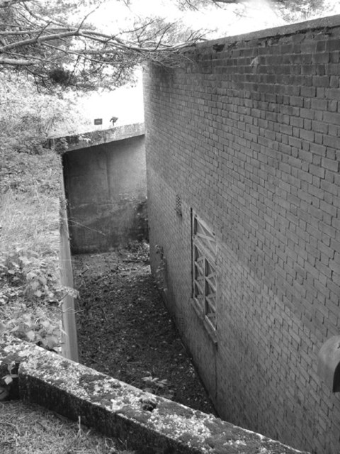
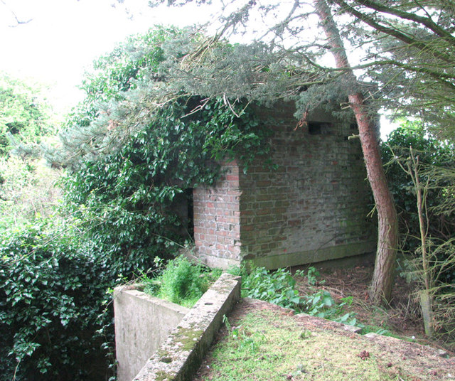
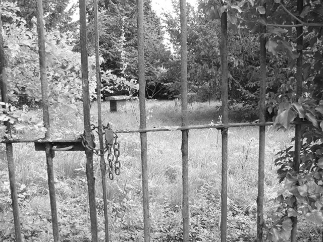
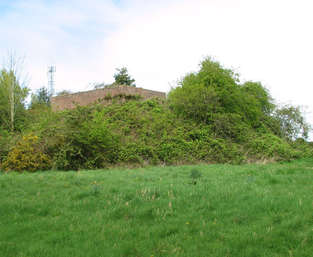
RAF West Beckham
Royal Air Force Station West Beckham, commonly known as RAF West Beckham, is a former Chain Home radar station controlled by the Royal Air Force (RAF)...

West Beckham
West Beckham is a village and a civil parish in the English county of Norfolk The village is 6.1 miles (9.8 km) west south west of Cromer, 25.3 miles...

Bodham
Bodham is a civil parish in the English county of Norfolk. The village is 27.2 miles north north west of Norwich, 6.4 miles west of Cromer and 131 miles...

East Beckham
East Beckham is a village and a civil parish in the English county of Norfolk. The village is 23.4 miles (37.7 km) north of Norwich, 5 miles (8 km) south...

North Norfolk (UK Parliament constituency)
North Norfolk is a constituency represented in the House of Commons of the UK Parliament since 2019 by Duncan Baker, a Conservative. == Constituency... ==
North Barningham
North Barningham is a hamlet within the civil parish of Gresham in the English county of Norfolk. The hamlet is 7 miles (11 km) south-west of Cromer, 23...

Sheringham Park
Sheringham Park is a landscape park and gardens near the town of Sheringham, Norfolk, England. The park surrounds Sheringham Hall, lying mostly to its...
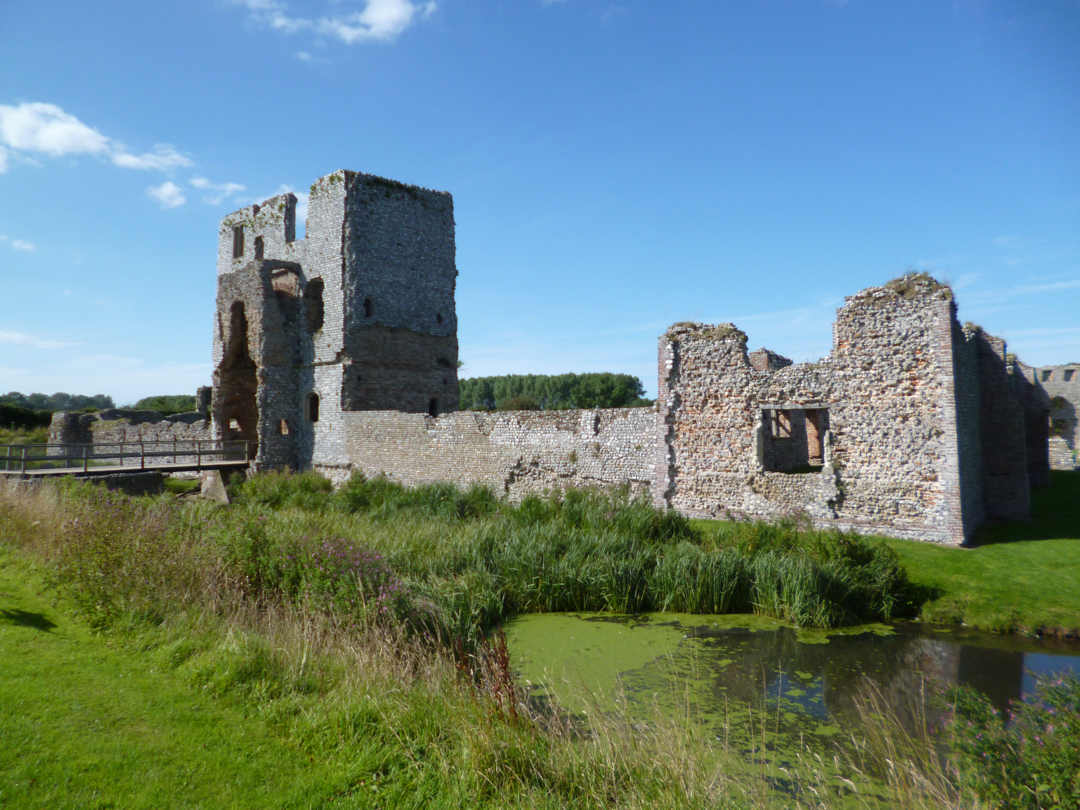
Baconsthorpe Castle
Baconsthorpe Castle, historically known as Baconsthorpe Hall, is a ruined, fortified manor house near the village of Baconsthorpe, Norfolk, England. It...
Nearby Amenities
Located within 500m of 52.909263,1.184389Have you been to West Beckham?
Leave your review of West Beckham below (or comments, questions and feedback).