West Barkwith

Civil Parish in Lincolnshire East Lindsey

England

West Barkwith

Ridge and furrow fields, Back o' Frank's Hill, near Panton : aerial 2022 See: <span class="nowrap"><a title="https://www.heritagegateway.org.uk/Gateway/Results_Single.aspx?uid=MLI88912&resourceID=1006" rel="nofollow ugc noopener" href="https://www.heritagegateway.org.uk/Gateway/Results_Single.aspx?uid=MLI88912&resourceID=1006">Link</a><img style="margin-left:2px;" alt="External link" title="External link - shift click to open in new window" src="https://s1.geograph.org.uk/img/external.png" width="10" height="10"/></span>
Ridge and furrow fields, Back o' Frank's Hill, near Panton : aerial 2022 Credit: Simon Tomson

West Barkwith is a civil parish located in the county of Lincolnshire, in the East Midlands region of England. Situated approximately 15 miles east of the city of Lincoln, it falls within the West Lindsey district. The parish covers an area of around 6 square miles and has a population of around 300 residents.

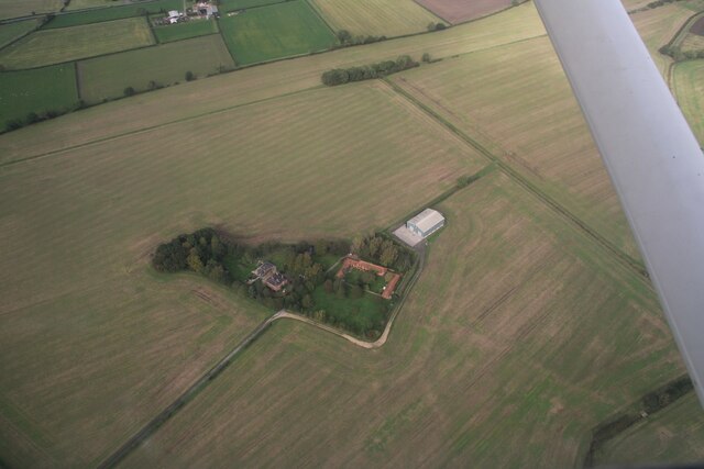
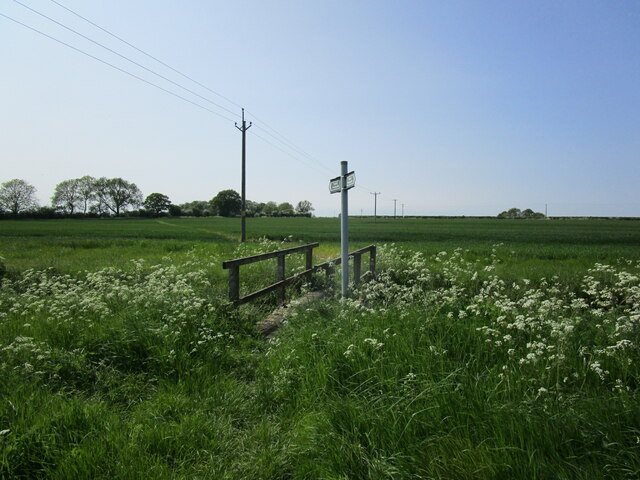
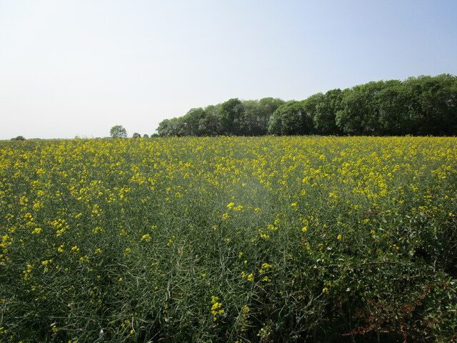
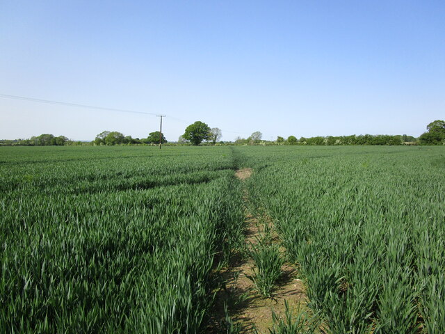
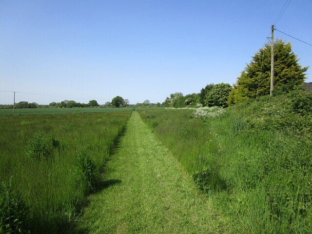
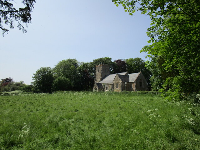
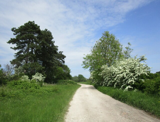
The village of West Barkwith is located in a rural setting, surrounded by picturesque countryside. It is characterized by its small, close-knit community and peaceful atmosphere. The village is primarily residential, with a mix of traditional cottages and more modern houses.

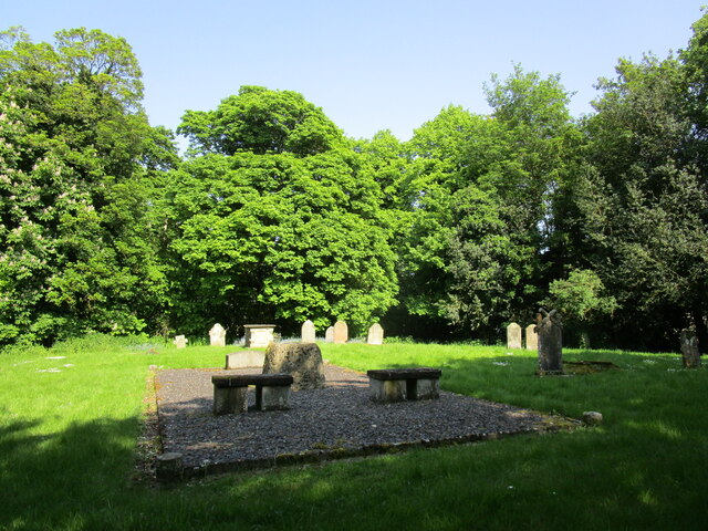
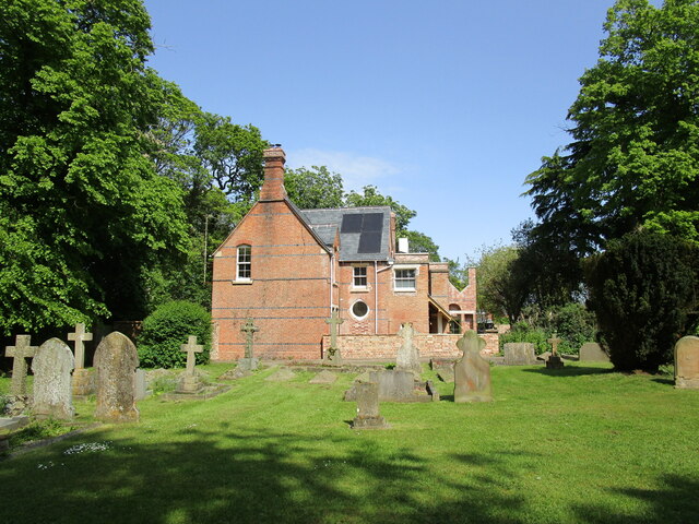
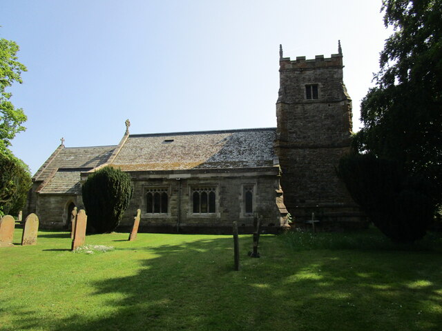
A notable feature of West Barkwith is its historic parish church, St. Mary's Church, which dates back to the 13th century. The church is known for its beautiful architecture and medieval stained glass windows.

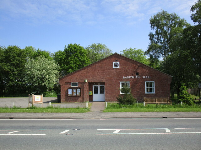
The village also boasts a village hall, which serves as a hub for community activities and events. It provides a venue for various social gatherings, clubs, and meetings.

Although West Barkwith is a small village, it benefits from its proximity to larger towns and cities. The city of Lincoln, with its wide range of amenities, including shopping centers, restaurants, and cultural attractions, is easily accessible by road.

Overall, West Barkwith offers residents a tranquil and rural lifestyle, with easy access to nearby urban centers. It is a charming village that prides itself on its community spirit and historic heritage.

If you have any feedback on the listing, please let us know in the comments section below.

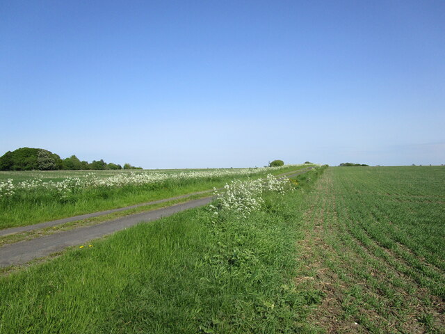
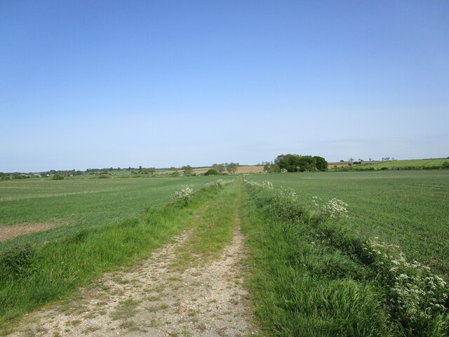
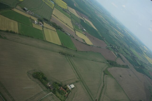
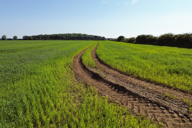
West Barkwith Images

Images are sourced within 2km of 53.307552/-0.269131 or Grid Reference TF1580. Thanks to Geograph Open Source API. All images are credited.

Ridge and furrow fields, Back o' Frank's Hill, near Panton : aerial 2022 See: <span class="nowrap"><a title="https://www.heritagegateway.org.uk/Gateway/Results_Single.aspx?uid=MLI88912&resourceID=1006" rel="nofollow ugc noopener" href="https://www.heritagegateway.org.uk/Gateway/Results_Single.aspx?uid=MLI88912&resourceID=1006">Link</a><img style="margin-left:2px;" alt="External link" title="External link - shift click to open in new window" src="https://s1.geograph.org.uk/img/external.png" width="10" height="10"/></span>
Ridge and furrow fields, Back o' Frank's Hill, near Panton : aerial 2022
See: LinkExternal link
Wire Hill Lane near Wragby
Farm track at Wire Hill
Wire Hill Farm, near Wragby: aerial 2023
Tracks in a field Looking towards Cocked Hat Plantation.
Tracks in a field
Looking towards Cocked Hat Plantation.
Wire Hill, Wragby: aerial 2023
The former East Barkwith Station This was opened in 1874 by the Louth and Lincoln Railway on its line from Bardney to Louth. It closed to passengers in 1951 and to all traffic in 1958.
The former East Barkwith Station
This was opened in 1874 by the Louth and Lincoln Railway on its line from Bardney to Louth. It closed to passengers in 1951 and to all traffic in 1958.
Barkwith Hall Comuunity building serving East and West Barkwith.
Barkwith Hall
Comuunity building serving East and West Barkwith.
Footbridge over a drain The footpath runs from East Barkwith to West Torrington.
Footbridge over a drain
The footpath runs from East Barkwith to West Torrington.
Oilseed rape and Fish Pond Plantation
Churchyard and site of All Saints' church, West Barkwith The church was demolished in 1983.
Churchyard and site of All Saints' church, West Barkwith
The church was demolished in 1983.
Footpath to East Barkwith Near Glebe Farm.
Footpath to East Barkwith
Near Glebe Farm.
Footpath to East Barkwith Near Glebe Farm.
Footpath to East Barkwith
Near Glebe Farm.
Churchyard and the Old Rectory, East Barkwith
St Mary's church, East Barkwith, north side Heavily restored meieval church <span class="nowrap"><a title="https://historicengland.org.uk/listing/the-list/list-entry/1063096?section=official-list-entry" rel="nofollow ugc noopener" href="https://historicengland.org.uk/listing/the-list/list-entry/1063096?section=official-list-entry">Link</a><img style="margin-left:2px;" alt="External link" title="External link - shift click to open in new window" src="https://s1.geograph.org.uk/img/external.png" width="10" height="10"/></span>
St Mary's church, East Barkwith, north side
Heavily restored meieval church LinkExternal link
St Mary's church, East Barkwith, from the south east Heavily restored meieval church <span class="nowrap"><a title="https://historicengland.org.uk/listing/the-list/list-entry/1063096?section=official-list-entry" rel="nofollow ugc noopener" href="https://historicengland.org.uk/listing/the-list/list-entry/1063096?section=official-list-entry">Link</a><img style="margin-left:2px;" alt="External link" title="External link - shift click to open in new window" src="https://s1.geograph.org.uk/img/external.png" width="10" height="10"/></span>
St Mary's church, East Barkwith, from the south east
Heavily restored meieval church LinkExternal link
War Memorial, East Barkwith Unusually, not listed.
War Memorial, East Barkwith
Unusually, not listed.
Course of the former railway at East Barkwith The line ran from Bardney to Louth and closed to passengers in 1951 and to freight in 1958. Facilities at East Barkwith were minimal. There was a single platform (situated on the extreme left of the picture) with a loop line serving a siding and cattle dock.
Course of the former railway at East Barkwith
The line ran from Bardney to Louth and closed to passengers in 1951 and to freight in 1958. Facilities at East Barkwith were minimal. There was a single platform (situated on the extreme left of the picture) with a loop line serving a siding and cattle dock.
Show me another place!

West Barkwith is located at Grid Ref: TF1580 (Lat: 53.307552, Lng: -0.269131)

Administrative County: Lincolnshire

District: East Lindsey

Police Authority: Lincolnshire

What 3 Words

///unfolds.deflated.monkey. Near Wragby, Lincolnshire

Related Wikis

West Barkwith

West Barkwith is a village and civil parish in the East Lindsey district of Lincolnshire, England. It is situated on the A157 road and about 2.5 miles...

East Barkwith

East Barkwith is a village and civil parish in the East Lindsey district of Lincolnshire, England. It is situated on the A157, and approximately 13 miles...

East Barkwith railway station

East Barkwith railway station was a railway station that served the village of East Barkwith, Lincolnshire, England between 1874 and 1958, on the Louth...

Panton, Lincolnshire

Panton is a village in the civil parish of East Barkwith, in the East Lindsey of district, Lincolnshire, England. It is situated approximately 13 miles...

Nearby Amenities

Located within 500m of 53.307552,-0.269131
Bus Stop
Manor House
Naptan AtcoCode: 2700LWBMH383
Naptan Bearing: NE
Naptan CommonName: Manor House
Naptan Indicator: opp
Naptan Landmark: Manor House
Naptan NaptanCode: linadmtm
Naptan Street: Louth Road
Naptan Verified: no
Source: naptan_import
Lat/Long: 53.3089616/-0.2620687
Note: Slippery road hazard for 440 yds sign (NE-bound direction)
Source: survey
Traffic Sign Backward: GB:557,570[440 yds]
Lat/Long: 53.3067112/-0.2641339
Power: pole
Lat/Long: 53.3043833/-0.2708069
Power: pole
Lat/Long: 53.3050418/-0.2696686
Power: pole
Lat/Long: 53.3056567/-0.2686149
Power: pole
Lat/Long: 53.3062739/-0.2675468
Power: pole
Lat/Long: 53.3068741/-0.2665112
Power: pole
Lat/Long: 53.307451/-0.2655159
Power: pole
Lat/Long: 53.3080472/-0.2644855
Power: pole
Lat/Long: 53.3086381/-0.2634681
Low Farm
Alt Name: Low Grange
Place: farm
Source: Bing
Lat/Long: 53.305913/-0.2729106
Archaeological Site: fortification
Historic: archaeological_site
Source: Bing
Lat/Long: 53.3070454/-0.2619914
Whelptons Farm
Place: farm
Source: Bing
Lat/Long: 53.3101792/-0.2643306
The data included in this document is from www.openstreetmap.org. The data is made available under ODbL.

Have you been to West Barkwith?

Leave your review of West Barkwith below (or comments, questions and feedback).