West Bagborough
Civil Parish in Somerset Somerset West and Taunton
England
West Bagborough
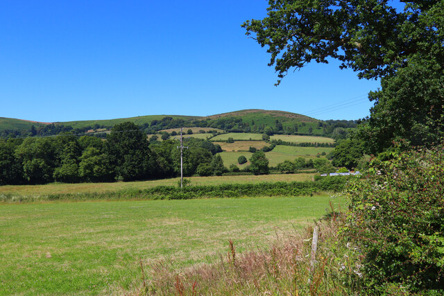
West Bagborough is a civil parish located in the county of Somerset, England. It is situated on the southern slopes of the Quantock Hills, approximately 5 miles southwest of the town of Taunton. The parish covers an area of around 6 square miles and is home to a population of approximately 400 residents.
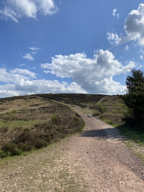
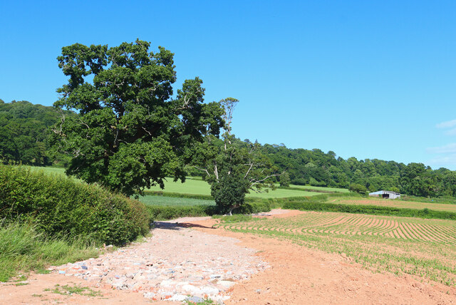
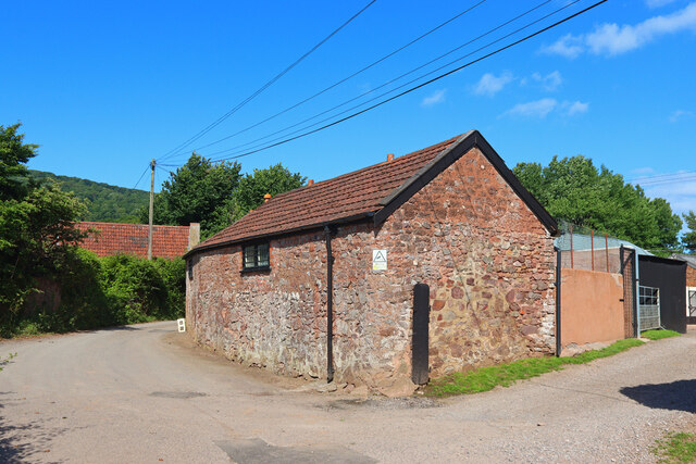
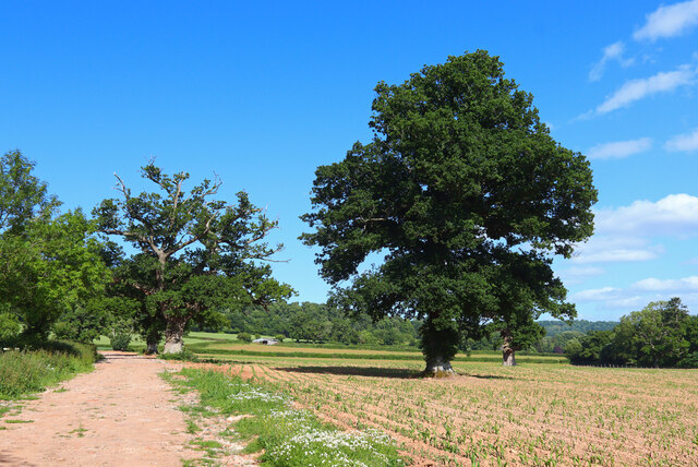
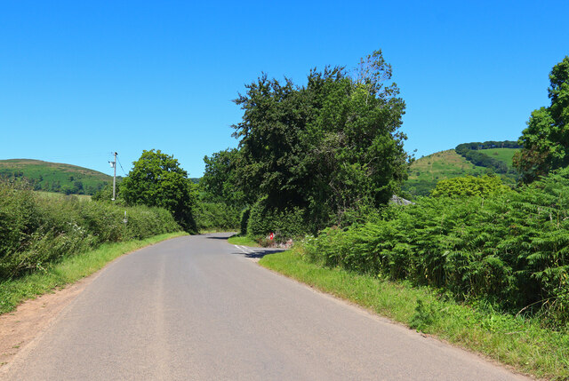
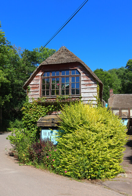
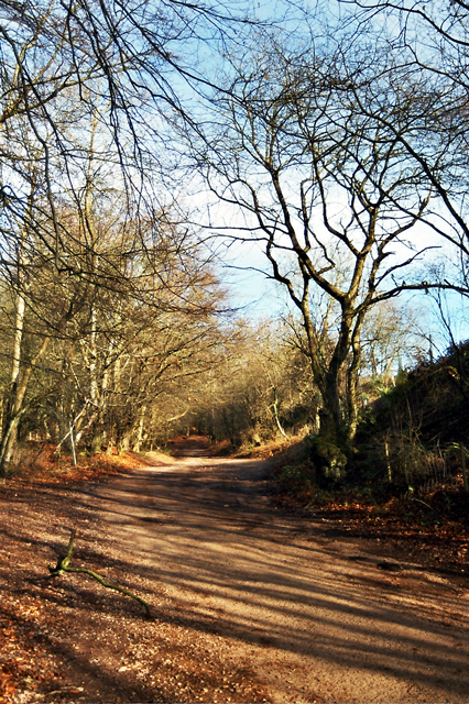
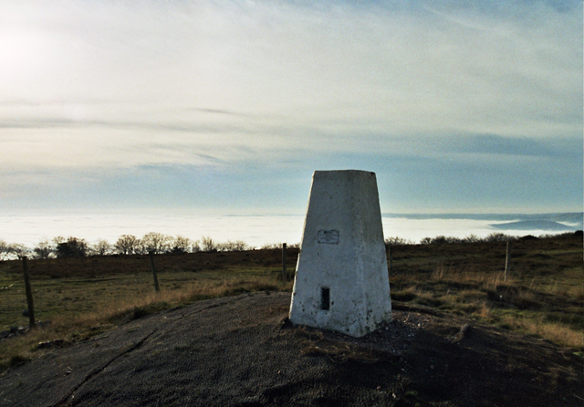
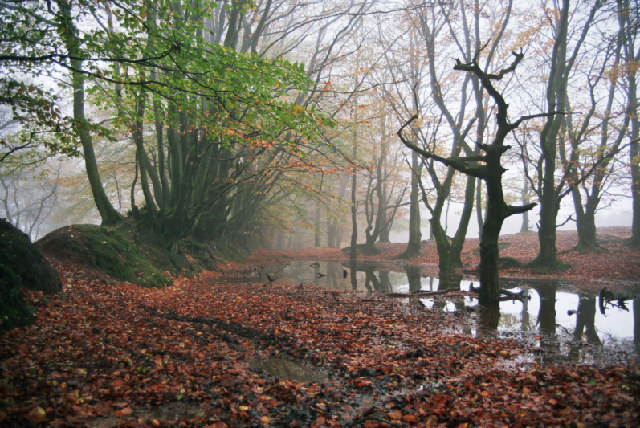
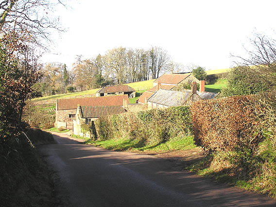
The village of West Bagborough itself is small and charming, with a mix of traditional stone houses and more modern buildings. The parish is surrounded by picturesque countryside, offering stunning views of the rolling hills and valleys. The Quantock Hills, designated as an Area of Outstanding Natural Beauty, provide ample opportunities for outdoor activities such as hiking, cycling, and horse riding.
The village has a strong sense of community, with a range of amenities and services available to its residents. These include a primary school, a village hall, and a local pub. The parish church, dedicated to St. Pancras, is a prominent feature in the village and dates back to the 14th century.
West Bagborough is well-connected to nearby towns and cities. The A358 road runs through the parish, providing easy access to Taunton and other destinations in Somerset. The village is also served by bus routes, offering convenient transportation options for residents and visitors.
Overall, West Bagborough offers a peaceful and idyllic setting, with its stunning countryside, strong community spirit, and convenient amenities making it an attractive place to live or visit.
If you have any feedback on the listing, please let us know in the comments section below.
West Bagborough Images
Images are sourced within 2km of 51.099422/-3.193286 or Grid Reference ST1634. Thanks to Geograph Open Source API. All images are credited.

West Bagborough is located at Grid Ref: ST1634 (Lat: 51.099422, Lng: -3.193286)
Administrative County: Somerset
District: Somerset West and Taunton
Police Authority: Avon and Somerset
What 3 Words
///sweeping.banquets.activism. Near Bishops Lydeard, Somerset
Nearby Locations
Related Wikis

Church of St Pancras, West Bagborough
The Anglican Church of St Pancras in West Bagborough, Somerset, England was built in the 15th century. It is a Grade II* listed building. == History... ==

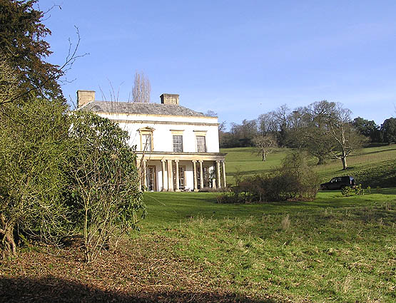
Bagborough House
Bagborough House in West Bagborough, Somerset, England was built circa 1730. It was designated a Grade II* listed building on 4 May 1984.Bagborough House...

West Bagborough
West Bagborough is a village and civil parish in Somerset, England, about 5 miles (8.0 km) north of Taunton. In 2011, the village had a population of 358...

Cockercombe
Cockercombe is a hamlet within the civil parish of West Bagborough in the Somerset West and Taunton district of Somerset, England, approximately 8.3 miles...

Cockercombe tuff
Cockercombe Tuff is a greenish-grey, hard pyroclastic rock, formed by the compression of volcanic ash containing high quantities of chlorite, which gives...

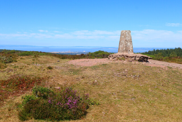
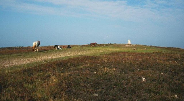
Wills Neck
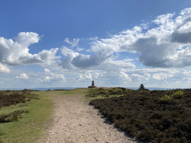
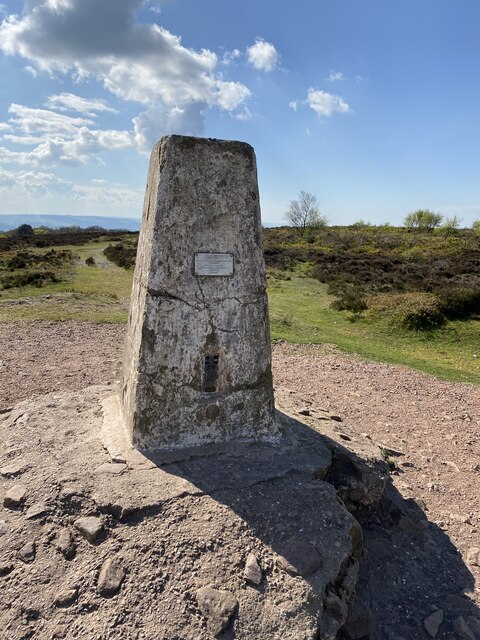
Wills Neck is the highest summit on the Quantock Hills and one of the highest points in Somerset, England. Although only 1261 ft (384 m) high, it qualifies...

West Bagborough Hoard
The West Bagborough Hoard is a hoard of 670 Roman coins and 72 pieces of hacksilver found in October 2001 by metal detectorist James Hawkesworth near...

Combe Florey
Combe Florey is a village and civil parish in Somerset, England, situated 6 miles (9.7 km) northwest of Taunton, on the West Somerset Railway. The village...
Nearby Amenities
Located within 500m of 51.099422,-3.193286Have you been to West Bagborough?
Leave your review of West Bagborough below (or comments, questions and feedback).