West Ayton
Civil Parish in Yorkshire Scarborough
England
West Ayton
West Ayton is a civil parish located in the county of North Yorkshire, England. Situated on the eastern coast of England, it is part of the Scarborough District. The village is nestled in the picturesque Vale of Pickering and lies approximately 7 miles west of Scarborough and 10 miles east of Pickering.
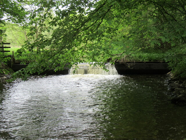
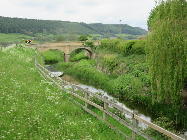
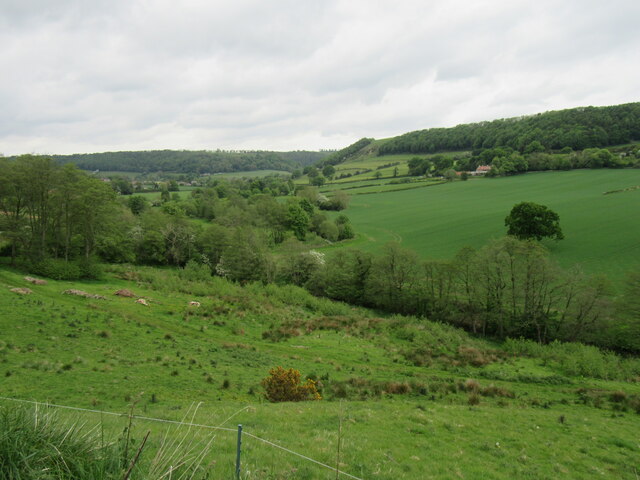
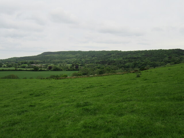
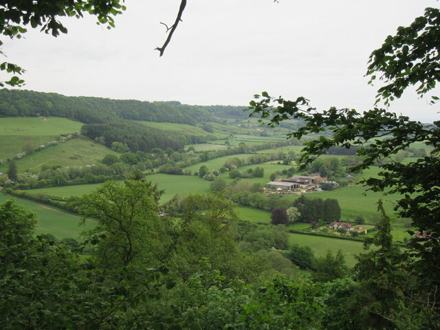
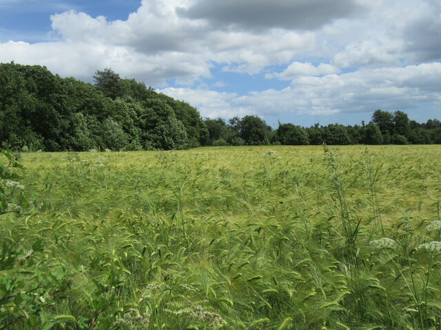
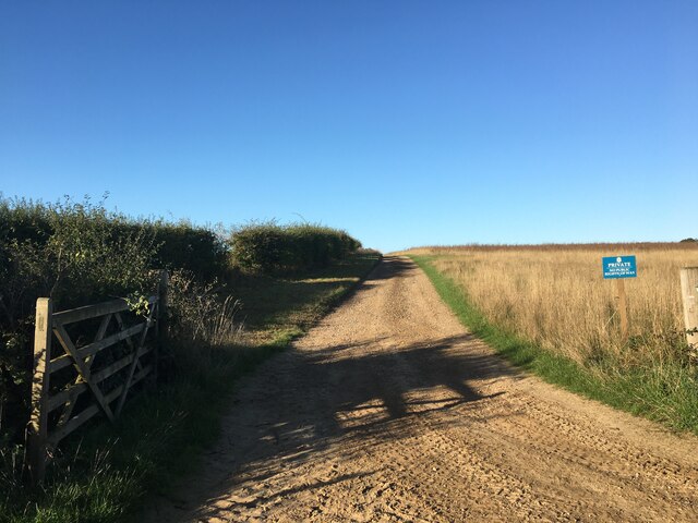
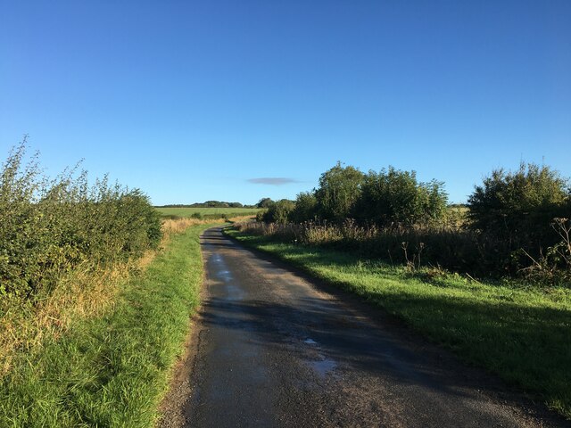
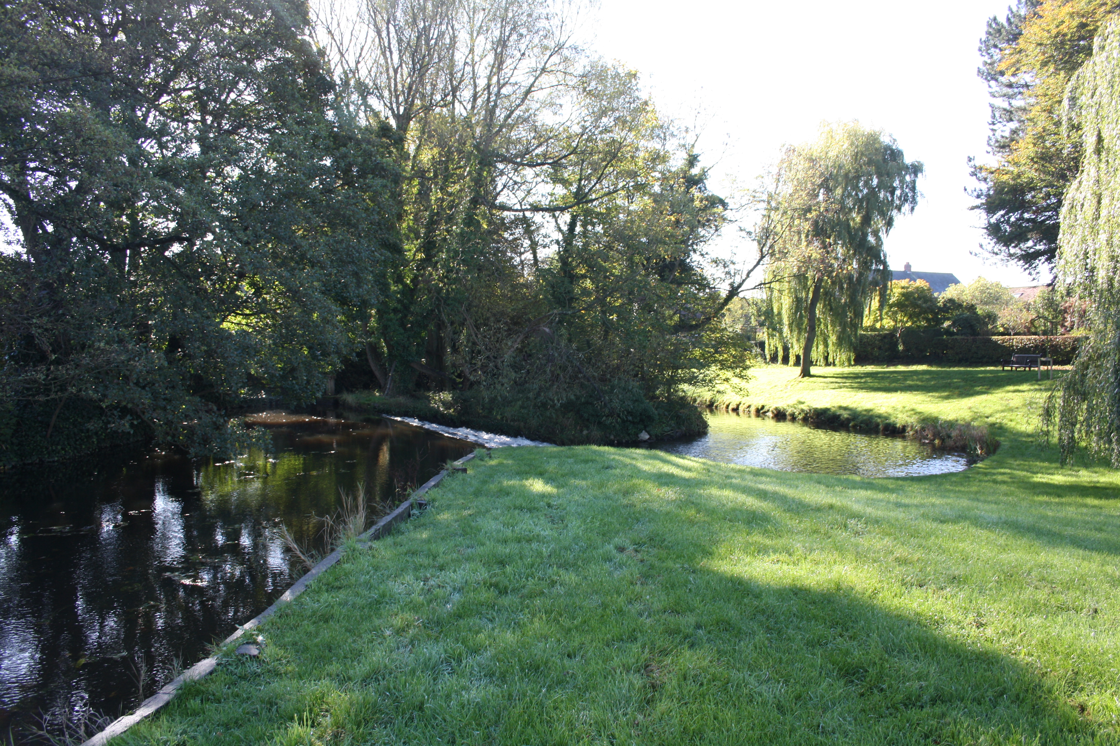
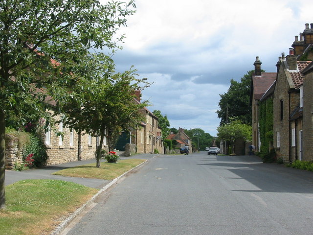
West Ayton is a small and charming village with a population of around 500 residents. It is known for its scenic beauty, with the River Derwent flowing through the village, providing a tranquil setting for locals and visitors alike. The village is surrounded by lush green fields and rolling hills, offering stunning views of the North Yorkshire countryside.
The heart of the village is centered around the historic St. John the Baptist Church, which dates back to the 12th century. The church's architecture and stained glass windows attract tourists and history enthusiasts from near and far. The village also boasts a primary school, a village hall, and a few local shops and amenities to cater to the needs of its residents.
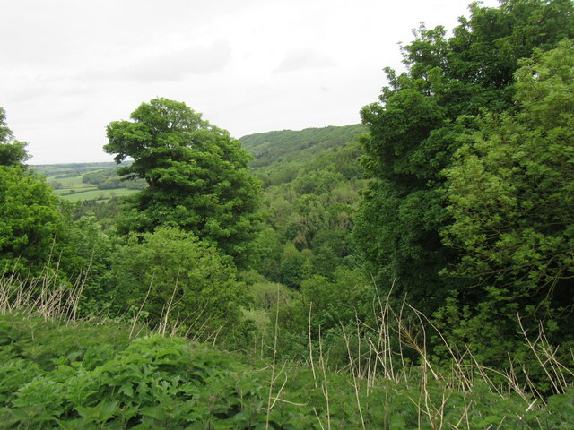
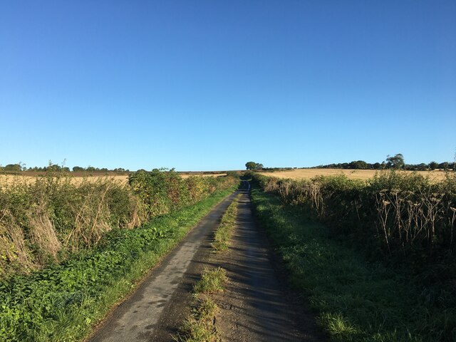
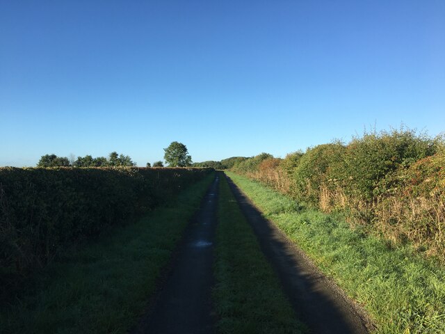
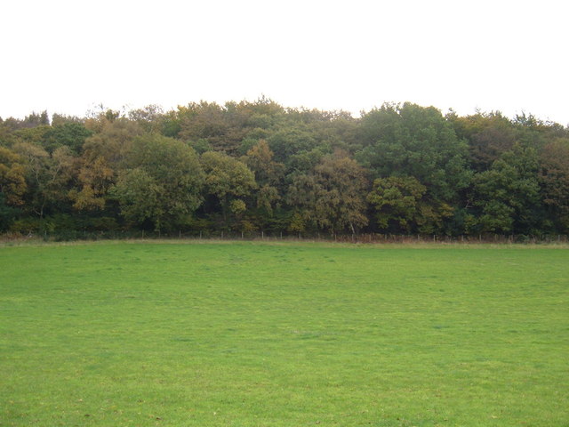
Outdoor enthusiasts will find plenty of opportunities to explore the surrounding countryside, with numerous walking and cycling trails in the area. The nearby Forge Valley Woods National Nature Reserve offers a rich variety of wildlife and is a popular spot for nature lovers.
Overall, West Ayton is a peaceful and idyllic village, offering a close-knit community and a picturesque setting for those seeking a rural lifestyle.
If you have any feedback on the listing, please let us know in the comments section below.
West Ayton Images
Images are sourced within 2km of 54.265647/-0.502417 or Grid Reference SE9786. Thanks to Geograph Open Source API. All images are credited.
West Ayton is located at Grid Ref: SE9786 (Lat: 54.265647, Lng: -0.502417)
Division: North Riding
Administrative County: North Yorkshire
District: Scarborough
Police Authority: North Yorkshire
What 3 Words
///snips.scatter.novelists. Near East Ayton, North Yorkshire
Nearby Locations
Related Wikis

Forge Valley
Forge Valley is a national nature reserve in the Scarborough district of North Yorkshire, England, located within the North York Moors National Park on...

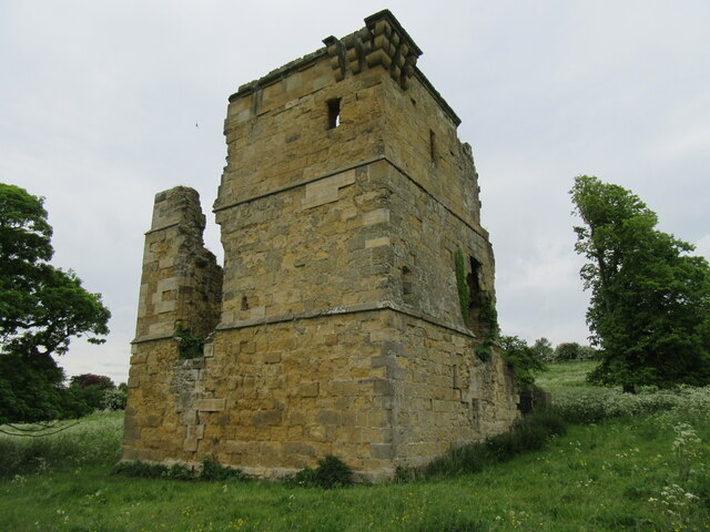
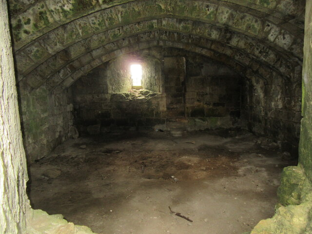
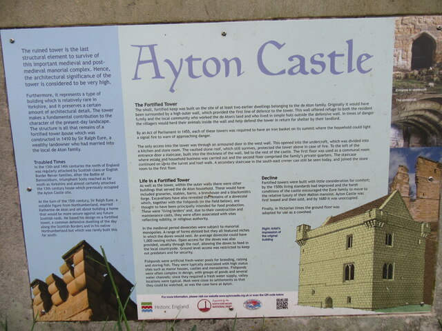
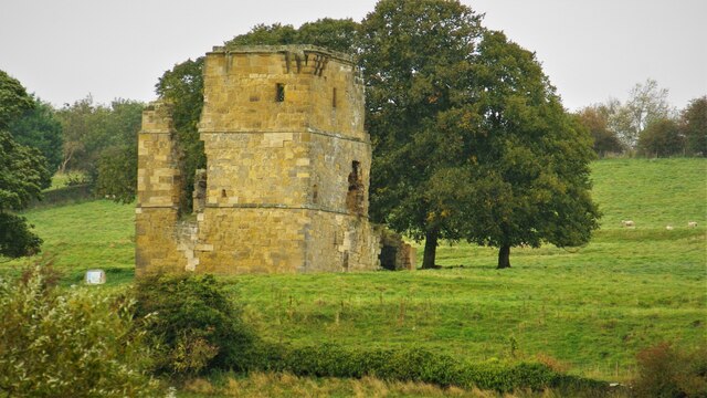
Ayton Castle, North Yorkshire
Ayton Castle is a ruined Grade I listed 14th century pele tower castle near West Ayton, North Yorkshire, England. == Location == The castle is sited at...

East Ayton
East Ayton is a village and civil parish in the Scarborough district of North Yorkshire, England. According to the 2011 UK census, East Ayton parish...

Forge Valley railway station
Forge Valley railway station was situated on the North Eastern Railway's Pickering to Seamer branch line. It served the twin villages of East and West...

Suffield-cum-Everley
Suffield-cum-Everley is a civil parish in the Scarborough district of North Yorkshire, England. According to the 2011 UK census, the parish (including...
West Ayton
West Ayton is a village and civil parish in the Scarborough district of North Yorkshire, England. Located upon the west bank of the River Derwent adjacent...
Raincliffe Woods
Raincliffe Woods are situated to the north-west of Scarborough, North Yorkshire, England. They form an "L" shape with Forge Valley Woods and the River...
Hutton Buscel
Hutton Buscel is a village and civil parish in the Scarborough district of North Yorkshire, England. According to the 2011 UK census, Hutton Buscel parish...
Have you been to West Ayton?
Leave your review of West Ayton below (or comments, questions and feedback).