Bagborough Plantation
Wood, Forest in Somerset Somerset West and Taunton
England
Bagborough Plantation
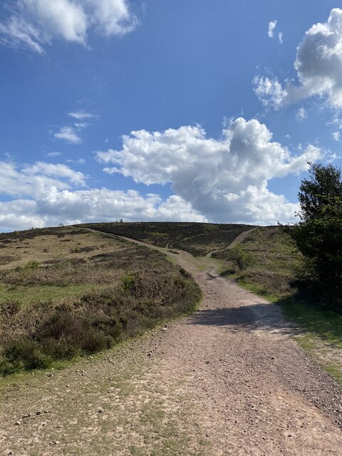
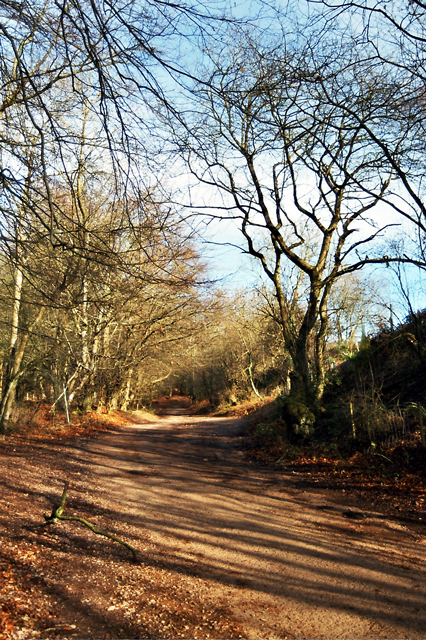
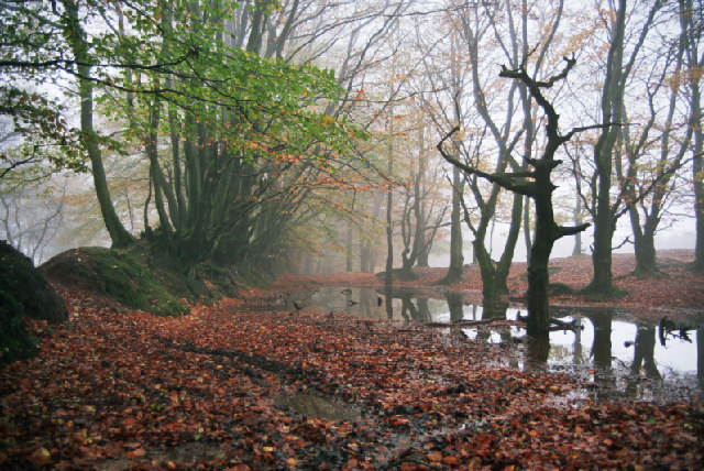
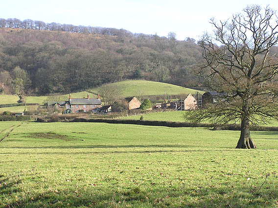
Bagborough Plantation is a picturesque woodland located in the county of Somerset, England. Covering an area of approximately 200 acres, it is classified as a plantation, primarily consisting of various types of trees. The plantation is situated in the small village of Bagborough, nestled in the rolling hills of the Quantock Hills Area of Outstanding Natural Beauty.
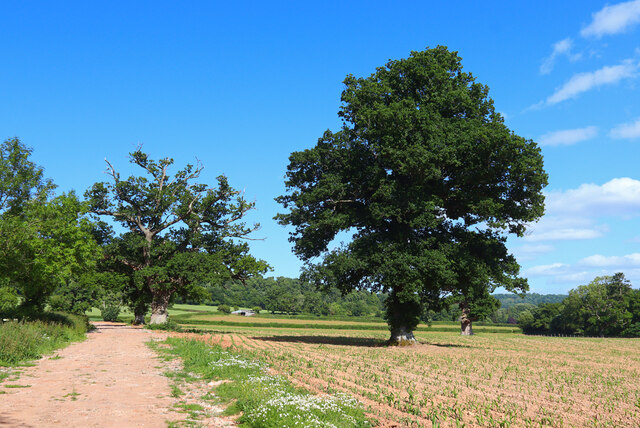
The woodland is characterized by its diverse range of tree species, including oak, beech, ash, and birch, creating a rich and vibrant ecosystem. The trees are of varying ages, providing a mix of mature trees and younger saplings, which contributes to the overall health and biodiversity of the plantation.
Bagborough Plantation offers a serene and tranquil environment, attracting nature enthusiasts, hikers, and walkers throughout the year. It is a haven for wildlife, with an array of bird species making their home within the woodland. Visitors may also spot smaller mammals such as squirrels and rabbits, as well as a variety of insects and butterflies.
The plantation is accessible to the public, with designated paths and trails allowing visitors to explore the woodland at their own pace. There are also picnic areas and benches strategically placed throughout the plantation, providing opportunities for visitors to take in the scenic beauty and enjoy a peaceful break surrounded by nature.
Bagborough Plantation is a cherished natural treasure in Somerset, offering a unique and immersive experience for individuals seeking solace in the beauty of the countryside.
If you have any feedback on the listing, please let us know in the comments section below.
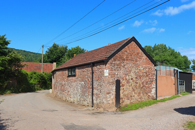
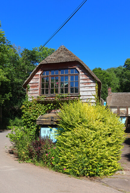
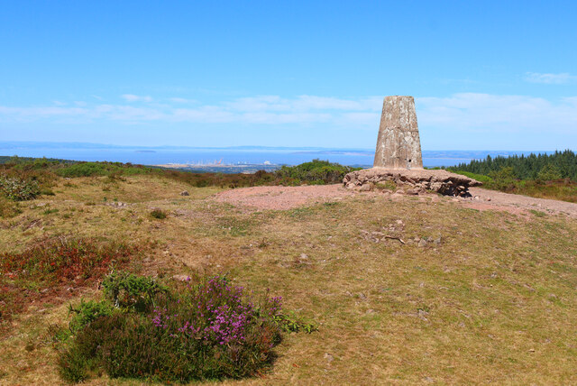
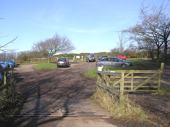
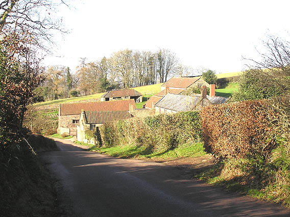
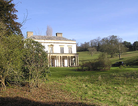
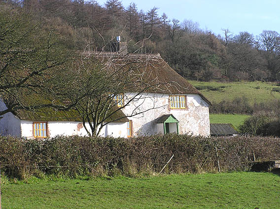
Bagborough Plantation Images
Images are sourced within 2km of 51.104114/-3.1874645 or Grid Reference ST1634. Thanks to Geograph Open Source API. All images are credited.

Bagborough Plantation is located at Grid Ref: ST1634 (Lat: 51.104114, Lng: -3.1874645)
Administrative County: Somerset
District: Somerset West and Taunton
Police Authority: Avon and Somerset
What 3 Words
///lingering.inquest.spurned. Near Bishops Lydeard, Somerset
Nearby Locations
Related Wikis

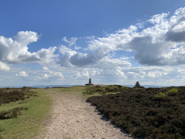
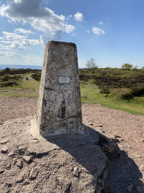
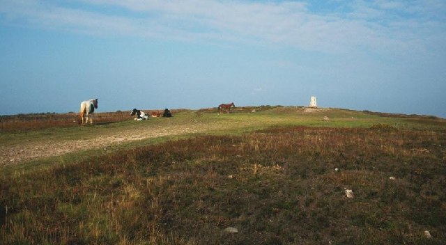
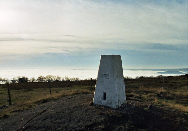
Wills Neck
Wills Neck is the highest summit on the Quantock Hills and one of the highest points in Somerset, England. Although only 1261 ft (384 m) high, it qualifies...

Bagborough House
Bagborough House in West Bagborough, Somerset, England was built circa 1730. It was designated a Grade II* listed building on 4 May 1984.Bagborough House...

Church of St Pancras, West Bagborough
The Anglican Church of St Pancras in West Bagborough, Somerset, England was built in the 15th century. It is a Grade II* listed building. == History... ==

West Bagborough
West Bagborough is a village and civil parish in Somerset, England, about 5 miles (8.0 km) north of Taunton. In 2011, the village had a population of 358...

West Bagborough Hoard
The West Bagborough Hoard is a hoard of 670 Roman coins and 72 pieces of hacksilver found in October 2001 by metal detectorist James Hawkesworth near...

Cockercombe
Cockercombe is a hamlet within the civil parish of West Bagborough in the Somerset West and Taunton district of Somerset, England, approximately 8.3 miles...

Cockercombe tuff
Cockercombe Tuff is a greenish-grey, hard pyroclastic rock, formed by the compression of volcanic ash containing high quantities of chlorite, which gives...

Plainsfield Camp
Plainsfield Camp (or Park Plantation or Cockercombe Castle) is a possible Iron Age earthwork on the Quantock Hills near Aisholt in Somerset, England.The...
Nearby Amenities
Located within 500m of 51.104114,-3.1874645Have you been to Bagborough Plantation?
Leave your review of Bagborough Plantation below (or comments, questions and feedback).