Low Wood

Wood, Forest in Norfolk North Norfolk

England

Low Wood

Rectory Road
Rectory Road Credit: Hugh Venables

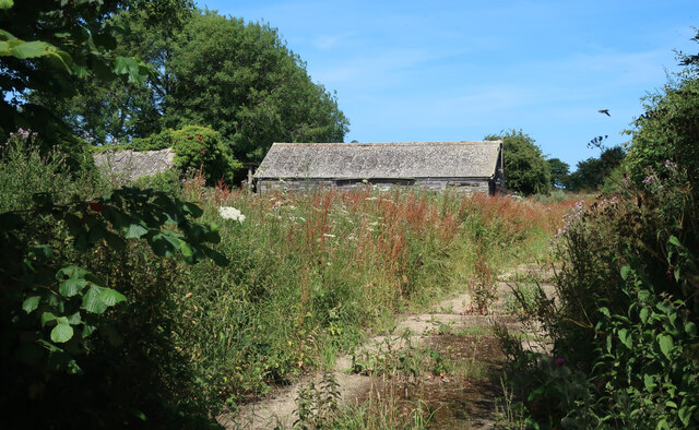
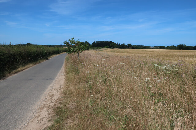
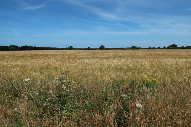
Low Wood is a small village located in the county of Norfolk, England. Situated in the heart of the Norfolk Broads, it is surrounded by a picturesque landscape of lush green fields, meandering waterways, and ancient woodlands. The village gets its name from the abundance of low-lying woodland that characterizes the area.

The village of Low Wood is sparsely populated, with a tight-knit community that values its tranquility and natural beauty. It offers a peaceful retreat for those seeking a respite from the hustle and bustle of city life. The village is known for its charming thatched-roof cottages, which add to its quaint and idyllic atmosphere.

Nature lovers are drawn to Low Wood for its rich biodiversity. The surrounding woodlands provide a habitat for a variety of flora and fauna, making it a haven for wildlife enthusiasts and birdwatchers. The village also boasts several walking trails and nature reserves, making it an ideal destination for outdoor activities such as hiking, cycling, and boating.

Despite its rural setting, Low Wood is conveniently located near larger towns and cities. The historic city of Norwich is just a short drive away, offering a range of amenities, cultural attractions, and shopping opportunities.

Overall, Low Wood in Norfolk is a hidden gem that showcases the natural beauty and tranquility of the English countryside. With its stunning landscapes, charming village atmosphere, and proximity to larger towns, it provides the perfect retreat for those seeking a peaceful and scenic getaway.

If you have any feedback on the listing, please let us know in the comments section below.
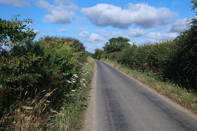
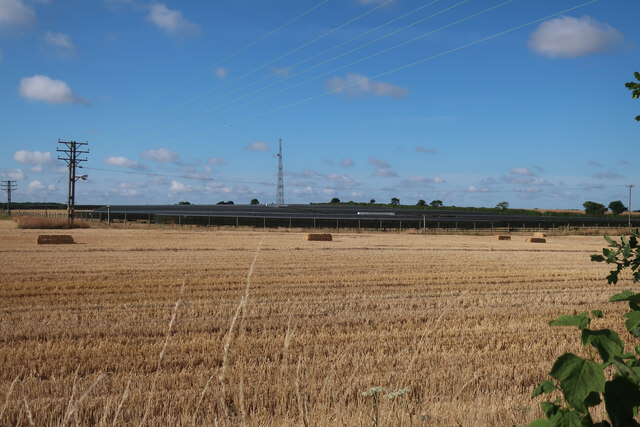
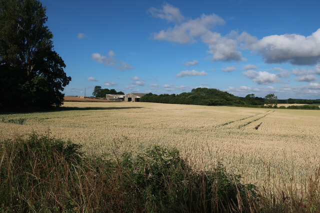
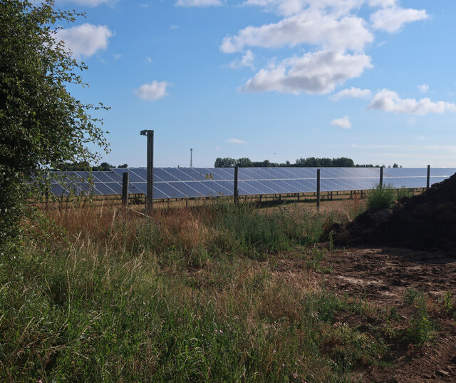
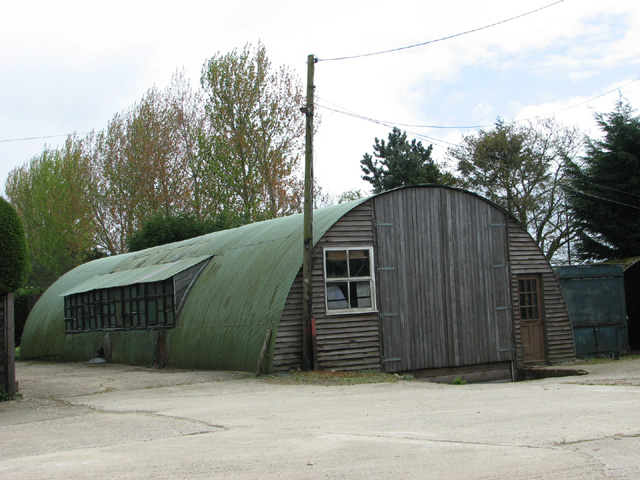
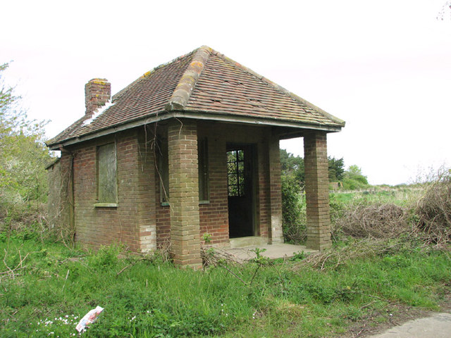
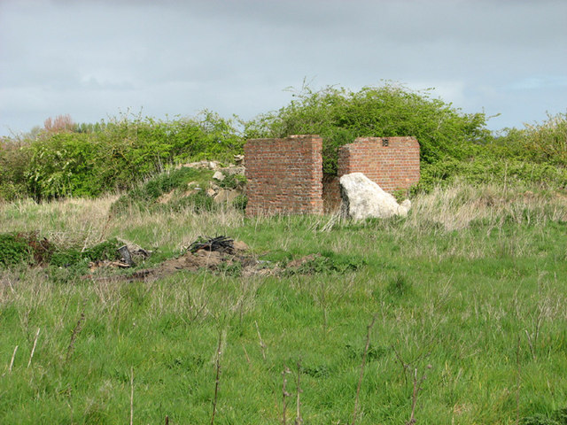
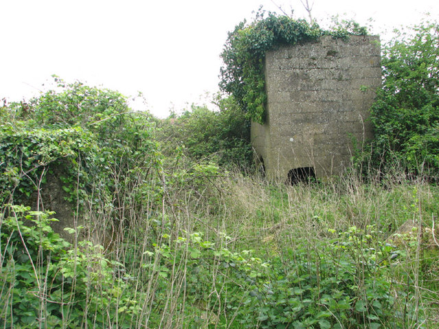
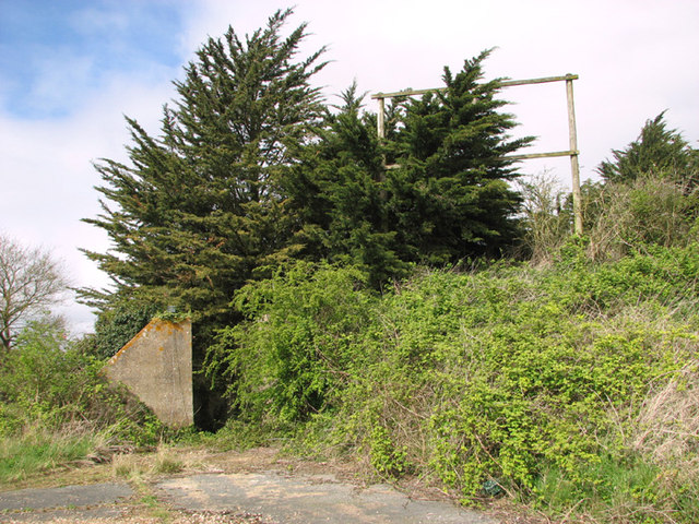
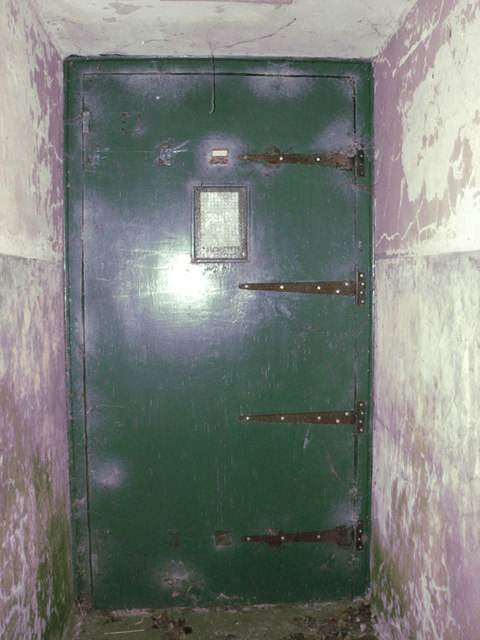
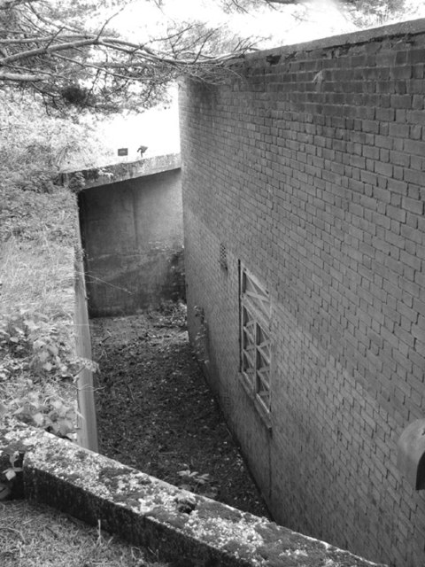
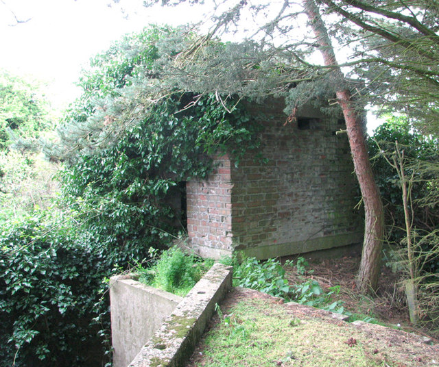
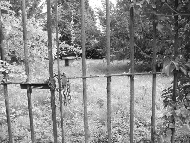
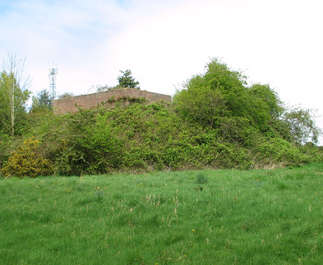
Low Wood Images

Images are sourced within 2km of 52.908618/1.193686 or Grid Reference TG1439. Thanks to Geograph Open Source API. All images are credited.

Rectory Road
Rectory Road
Solar farm near Bodham Hill
Field by New Road
Field by New Road
Solar farm near Bodham Hill
Buildings by Rectory Road See <a href="https://www.geograph.org.uk/photo/3938108">TG1338 : RAF West Beckham radar station (C Site)</a> for more details.
Buildings by Rectory Road
Road to West Beckham
Barley field near Bodham Hill
Transmitter on the former RAF West Beckham radar station This is a modern mast.
Transmitter on the former RAF West Beckham radar station
This is a modern mast.
Farm building at Bodham Hill
Guardhouse at the entrance to RAF West Beckham (A Site) RAF West Beckham, which had close links with the local fighter station RAF Matlask, was opened in 1938 and comprised a transmitter and receiver site, a generator site and underground reserves. It reported to the filter room at RAF Watnall which was the HQ to No. 12 Group RAF, and the station was originally parented to RAF Bircham Newton, followed by later RAF Wittering and finally RAF Coltishall.

The radar site proper, located at Bodham Hill, was known as A Site.  During World War II the station was commanded by the famous dance band leader Marius B. Winter and because of his background the soldiers based at the camp were very well entertained. A Site was closed in 1956.

There were also two separate camps:  The B Site provided accommodation for the WAAFs and airmen from 1939 to 1946. The B Site, which was also known as "The Marlpit Camp" due to its close proximity to a disused marl pit - now a fishing lake > <a title="https://www.geograph.org.uk/photo/3938061" href="https://www.geograph.org.uk/photo/3938061">Link</a> -  was closed down in 1958.

Site C was home to the Royal Norfolk Regiment in 1940 and in 1941 was used by the Military Police, followed by an RAF regiment from 1942 until 1945. After the war the site went into care and maintenance.

Today the station is privately owned and many of the buildings are still in existence.
Guardhouse at the entrance to RAF West Beckham (A Site)
RAF West Beckham, which had close links with the local fighter station RAF Matlask, was opened in 1938 and comprised a transmitter and receiver site, a generator site and underground reserves. It reported to the filter room at RAF Watnall which was the HQ to No. 12 Group RAF, and the station was originally parented to RAF Bircham Newton, followed by later RAF Wittering and finally RAF Coltishall. The radar site proper, located at Bodham Hill, was known as A Site. During World War II the station was commanded by the famous dance band leader Marius B. Winter and because of his background the soldiers based at the camp were very well entertained. A Site was closed in 1956. There were also two separate camps: The B Site provided accommodation for the WAAFs and airmen from 1939 to 1946. The B Site, which was also known as "The Marlpit Camp" due to its close proximity to a disused marl pit - now a fishing lake > Link - was closed down in 1958. Site C was home to the Royal Norfolk Regiment in 1940 and in 1941 was used by the Military Police, followed by an RAF regiment from 1942 until 1945. After the war the site went into care and maintenance. Today the station is privately owned and many of the buildings are still in existence.
RAF West Beckham radar station (A Site) Remains of the IFF (Identification Friend or Foe) hut.
RAF West Beckham radar station (A Site)
Remains of the IFF (Identification Friend or Foe) hut.
RAF West Beckham radar station (A Site) The overgrown concrete bases of the wooden mast adjacent to the receiver block.
RAF West Beckham radar station (A Site)
The overgrown concrete bases of the wooden mast adjacent to the receiver block.
RAF West Beckham radar station (A Site) Approach to the receiver block.
RAF West Beckham radar station (A Site)
Approach to the receiver block.
RAF West Beckham radar station (A Site) Entrance into the receiver block.
RAF West Beckham radar station (A Site)
Entrance into the receiver block.
RAF West Beckham radar station (A Site) View from the blast wall surrounding the receiver block.
RAF West Beckham radar station (A Site)
View from the blast wall surrounding the receiver block.
RAF West Beckham radar station (A Site) Pillbox located above the entrance/exit of the receiver block. It would appear to have been accessed via a ladder.
RAF West Beckham radar station (A Site)
Pillbox located above the entrance/exit of the receiver block. It would appear to have been accessed via a ladder.
West Beckham ROC post The Royal Observer Corps post on the A Site of the former RAF West Beckham radar station.  The post was set up in 1960 and  closed in 1991. This area is fenced in and inaccessible.
West Beckham ROC post
The Royal Observer Corps post on the A Site of the former RAF West Beckham radar station. The post was set up in 1960 and closed in 1991. This area is fenced in and inaccessible.
RAF West Beckham radar station (A Site) Apparently this large brick structure is the stand-by set house.
RAF West Beckham radar station (A Site)
Apparently this large brick structure is the stand-by set house.
Show me another place!

Low Wood is located at Grid Ref: TG1439 (Lat: 52.908618, Lng: 1.193686)

Administrative County: Norfolk

District: North Norfolk

Police Authority: Norfolk

What 3 Words

///protrude.tucked.digit. Near Sheringham, Norfolk

Nearby Locations

West Beckham Low Wood

Related Wikis

RAF West Beckham

Royal Air Force Station West Beckham, commonly known as RAF West Beckham, is a former Chain Home radar station controlled by the Royal Air Force (RAF)...

East Beckham

East Beckham is a village and a civil parish in the English county of Norfolk. The village is 23.4 miles (37.7 km) north of Norwich, 5 miles (8 km) south...

West Beckham

West Beckham is a village and a civil parish in the English county of Norfolk The village is 6.1 miles (9.8 km) west south west of Cromer, 25.3 miles...

Gresham, Norfolk

Gresham is a village and civil parish in North Norfolk, England, five miles (8 km) south-west of Cromer. A predominantly rural parish, Gresham centres...

Nearby Amenities

Located within 500m of 52.908618,1.193686
All Saints
Demolished Amenity: place_of_worship
Denomination: anglican
End Date: 1890
Historic: ruins
Religion: christian
Ruins: church
Tower: round
Website: http://www.heritage.norfolk.gov.uk/record-details?MNF6570
Wikidata: Q26466717
Lat/Long: 52.9069609/1.1903107
The data included in this document is from www.openstreetmap.org. The data is made available under ODbL.

Have you been to Low Wood?

Leave your review of Low Wood below (or comments, questions and feedback).