West Bergholt

Civil Parish in Essex Colchester

England

West Bergholt

View up the River Colne, from a train crossing Seven Arches
View up the River Colne, from a train crossing Seven Arches Credit: Christopher Hilton

West Bergholt is a civil parish located in the county of Essex, England. Situated approximately four miles northwest of Colchester, it is a relatively small village with a population of around 3,500 residents. The parish is bordered by the Dedham Vale Area of Outstanding Natural Beauty to the north, providing stunning views and scenic landscapes.

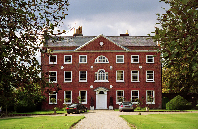
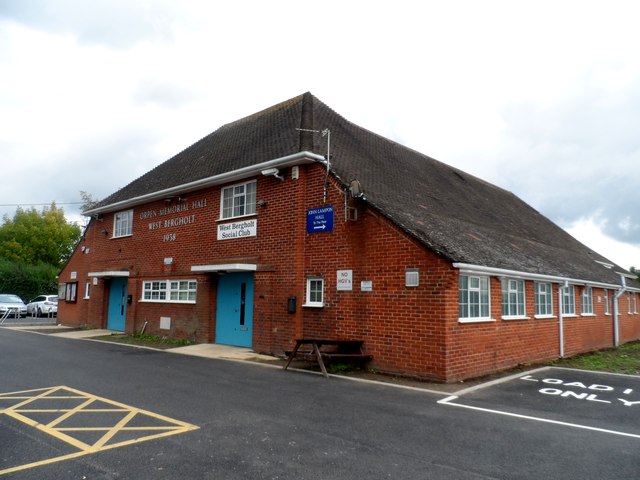
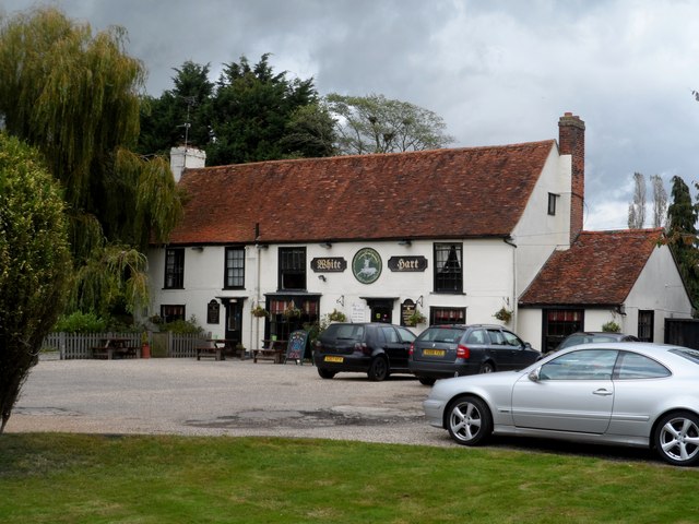
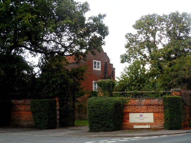
The village itself has a rich history dating back to Roman times, with evidence of settlements and artifacts found in the area. It is known for its picturesque charm, featuring a mix of traditional thatched cottages and more modern housing developments. The village center boasts a range of amenities, including a primary school, a post office, a village hall, and a number of local shops and restaurants.

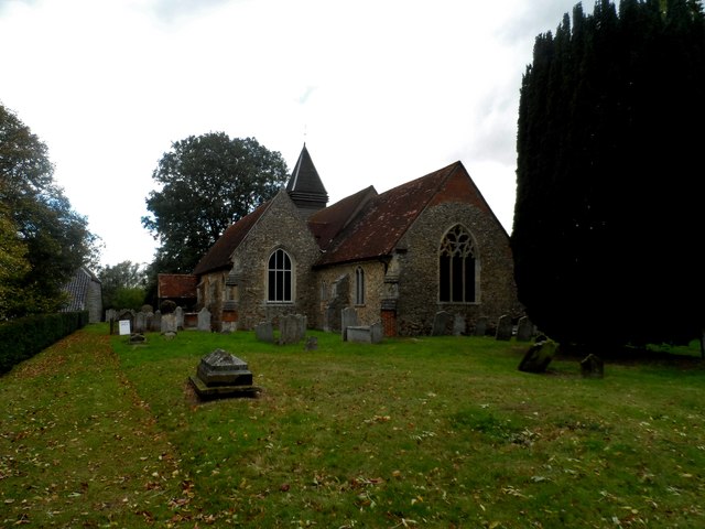
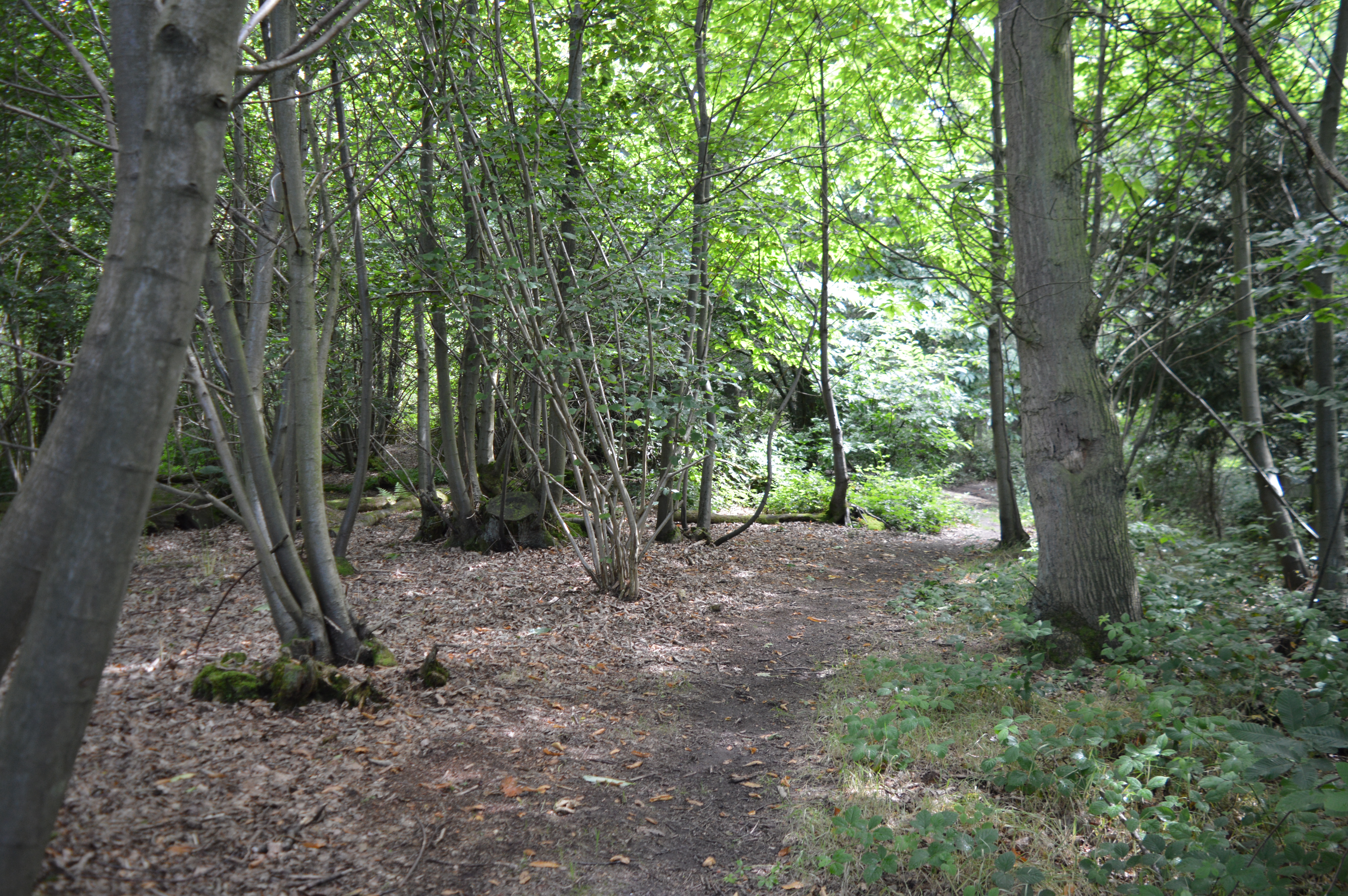
One of the notable attractions in West Bergholt is the Grade II listed St. Mary's Church, which dates back to the 12th century. The church is renowned for its beautiful stained glass windows and unique architecture. Additionally, the village is home to a cricket club, several parks, and a network of footpaths and trails, making it an ideal location for outdoor activities and leisurely walks.

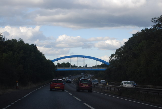
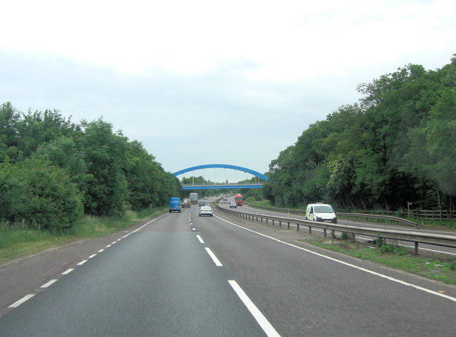
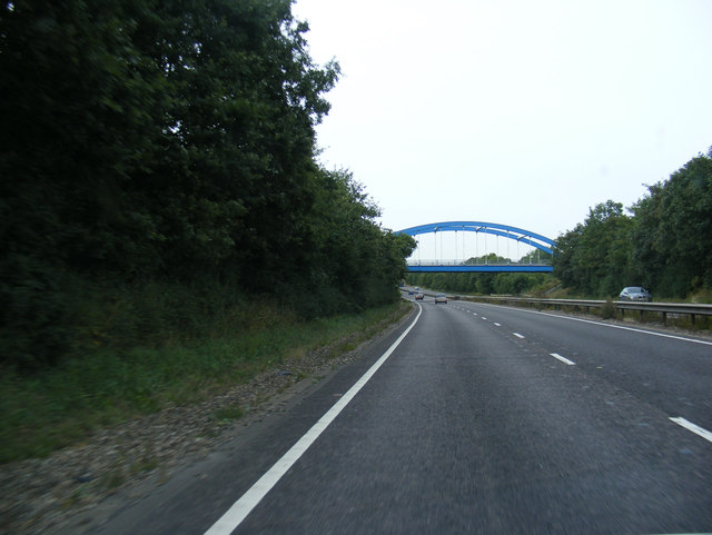
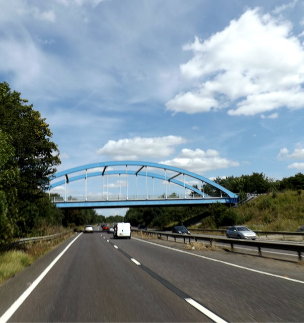
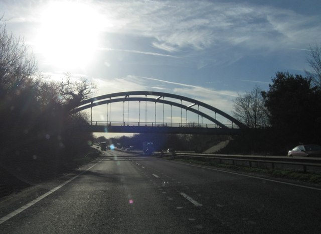
West Bergholt benefits from its close proximity to Colchester, which offers a wider range of amenities, including shopping centers, entertainment venues, and various cultural attractions. The village is well-connected to surrounding areas by road, with regular bus services providing transport links to nearby towns and villages.

Overall, West Bergholt offers a peaceful and idyllic setting, combining rural charm with convenient access to urban amenities. It is a desirable place to live for those seeking a close-knit community and a tranquil countryside environment.

If you have any feedback on the listing, please let us know in the comments section below.

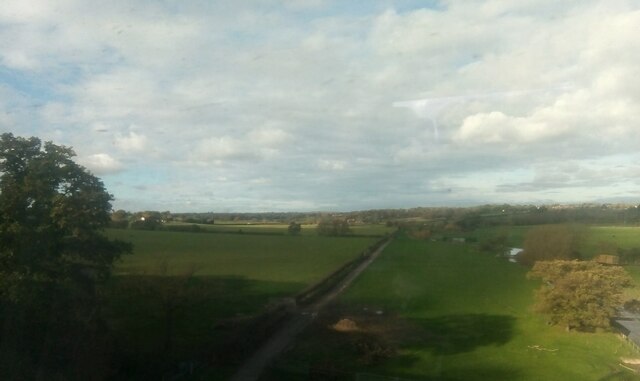
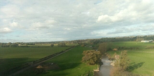
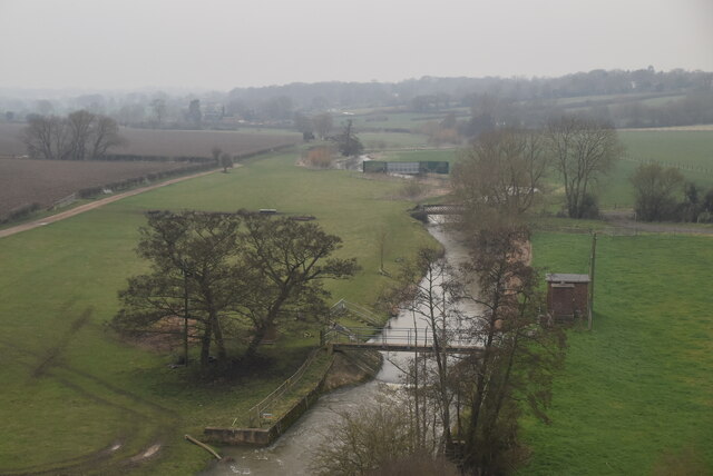
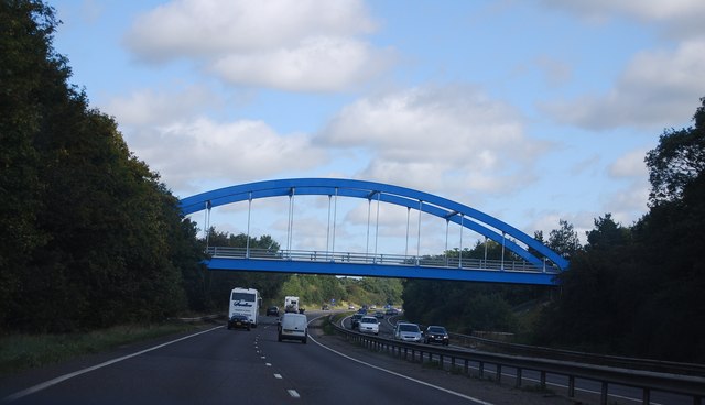
West Bergholt Images

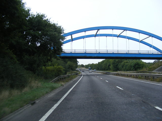
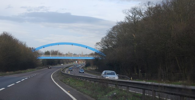
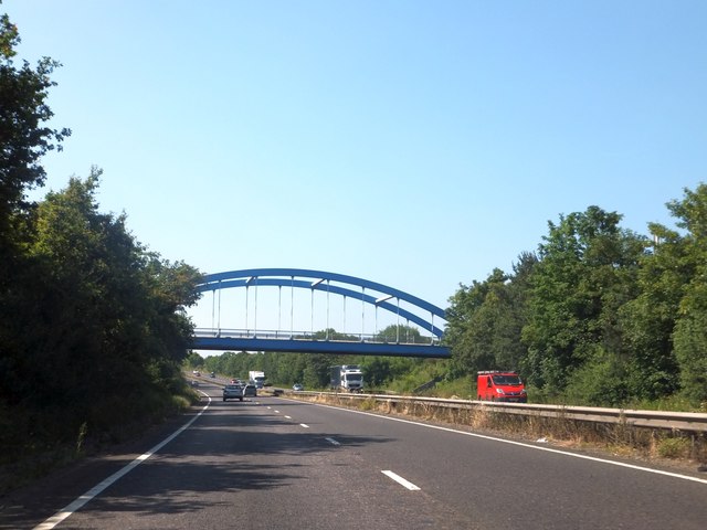
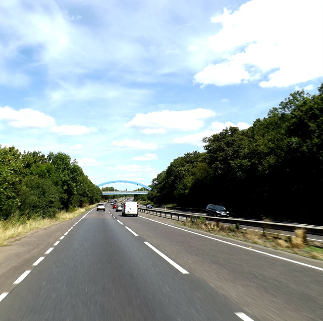
Images are sourced within 2km of 51.916082/0.843107 or Grid Reference TL9527. Thanks to Geograph Open Source API. All images are credited.

View up the River Colne, from a train crossing Seven Arches
River Colne
River Colne
Colchester Road Bridge, A12
A12, Colchester Road Bridge The A12 is a 129 mile long trunk road from London to Great Yarmouth. It runs through Greater London, Essex, Suffolk and Norfolk. It passes by Brentwood, Colchester and Ipswich as well as passing through Lowestoft.
<span class="nowrap"><a title="http://www.sabre-roads.org.uk/wiki/index.php?title=A12" rel="nofollow ugc noopener" href="http://www.sabre-roads.org.uk/wiki/index.php?title=A12">Link</a><img style="margin-left:2px;" alt="External link" title="External link - shift click to open in new window" src="https://s1.geograph.org.uk/img/external.png" width="10" height="10"/></span> 
Wikipedia: <span class="nowrap"><a title="http://en.wikipedia.org/wiki/A12_road_(England)" rel="nofollow ugc noopener" href="http://en.wikipedia.org/wiki/A12_road_(England)">Link</a><img style="margin-left:2px;" alt="External link" title="External link - shift click to open in new window" src="https://s1.geograph.org.uk/img/external.png" width="10" height="10"/></span>
A12, Colchester Road Bridge
The A12 is a 129 mile long trunk road from London to Great Yarmouth. It runs through Greater London, Essex, Suffolk and Norfolk. It passes by Brentwood, Colchester and Ipswich as well as passing through Lowestoft. LinkExternal link Wikipedia: LinkExternal link
West Bergholt Hall, West Bergholt Pevsner describes it thus: "a Georgian town house, not at all in harmony with its rural surroundings, but very splendid nonetheless." The central bay has a pedimented doorcase, Venetian window and Diocletian window, all under a pediment containing a small oculus. Grade II* listed.
The date of the photo is uncertain.
West Bergholt Hall, West Bergholt
Pevsner describes it thus: "a Georgian town house, not at all in harmony with its rural surroundings, but very splendid nonetheless." The central bay has a pedimented doorcase, Venetian window and Diocletian window, all under a pediment containing a small oculus. Grade II* listed. The date of the photo is uncertain.
A12 overbridge carries B1508
A12 Ipswich Road, Braiswick Approaching the B1508i Colchester Road Bridge
A12 Ipswich Road, Braiswick
Approaching the B1508i Colchester Road Bridge
A12 Ipswich Road, Braiswick At the B1508 Colchester Road Bridge
A12 Ipswich Road, Braiswick
At the B1508 Colchester Road Bridge
Ipswich Road Bridge, A12 The A12 is a 129 mile long trunk road from London to Great Yarmouth. It runs through Greater London, Essex, Suffolk and Norfolk. It passes by Brentwood, Colchester and Ipswich as well as passing through Lowestoft.
<span class="nowrap"><a title="http://www.sabre-roads.org.uk/wiki/index.php?title=A12" rel="nofollow ugc noopener" href="http://www.sabre-roads.org.uk/wiki/index.php?title=A12">Link</a><img style="margin-left:2px;" alt="External link" title="External link - shift click to open in new window" src="https://s1.geograph.org.uk/img/external.png" width="10" height="10"/></span> 
Wikipedia: <span class="nowrap"><a title="http://en.wikipedia.org/wiki/A12_road_(England)" rel="nofollow ugc noopener" href="http://en.wikipedia.org/wiki/A12_road_(England)">Link</a><img style="margin-left:2px;" alt="External link" title="External link - shift click to open in new window" src="https://s1.geograph.org.uk/img/external.png" width="10" height="10"/></span>
Ipswich Road Bridge, A12
The A12 is a 129 mile long trunk road from London to Great Yarmouth. It runs through Greater London, Essex, Suffolk and Norfolk. It passes by Brentwood, Colchester and Ipswich as well as passing through Lowestoft. LinkExternal link Wikipedia: LinkExternal link
Colchester Road (B1508) bridge over A12 This bridge was erected in 2007.
Colchester Road (B1508) bridge over A12
This bridge was erected in 2007.
A12 Ipswich Road, Braiswick Approaching the B1508 Colchester Road The Braiswick Bridge
A12 Ipswich Road, Braiswick
Approaching the B1508 Colchester Road The Braiswick Bridge
A12 Ipswich Road &  The Braiswick Bridge Carrying the B1508 Colchester Road
A12 Ipswich Road & The Braiswick Bridge
Carrying the B1508 Colchester Road
Orpen Memorial Hall, West Bergholt Built in 1938 with money bequeathed by a local resident, Osmond Orpen.
Orpen Memorial Hall, West Bergholt
Built in 1938 with money bequeathed by a local resident, Osmond Orpen.
White Hart pub A C17 building. See <span class="nowrap"><a title="http://www.britishlistedbuildings.co.uk/en-421400-the-white-hart-public-house-west-berghol" rel="nofollow ugc noopener" href="http://www.britishlistedbuildings.co.uk/en-421400-the-white-hart-public-house-west-berghol">Link</a><img style="margin-left:2px;" alt="External link" title="External link - shift click to open in new window" src="https://s1.geograph.org.uk/img/external.png" width="10" height="10"/></span> for entry in British Listed Buildings.
White Hart pub
A C17 building. See LinkExternal link for entry in British Listed Buildings.
St Mary's church, West Bergholt The north wall of the nave has been dated to 1000 A.D. Excavations on the west end show that it was originally built of timber and that some of this was incorporated into the belfry. The south aisle and the chancel were added in the C14.
St Mary's church, West Bergholt
The north wall of the nave has been dated to 1000 A.D. Excavations on the west end show that it was originally built of timber and that some of this was incorporated into the belfry. The south aisle and the chancel were added in the C14.
South Lodge to Westwood Park Built in 1905
South Lodge to Westwood Park
Built in 1905
A12 southbound
A12 southbound
Show me another place!

West Bergholt is located at Grid Ref: TL9527 (Lat: 51.916082, Lng: 0.843107)

Administrative County: Essex

District: Colchester

Police Authority: Essex

What 3 Words

///rent.finger.sorry. Near West Bergholt, Essex

Related Wikis

Old St Mary's Church, West Bergholt

Old St Mary's Church is a redundant Anglican church in the village of West Bergholt, Essex, England. It is recorded in the National Heritage List for...

West Bergholt

West Bergholt, formerly known as Bergholt Sackville, is a large rural village and civil parish in Essex, England, lying near the border with Suffolk, close...

Westhouse Wood

Westhouse Wood is a 2.8-hectare (6.9-acre) nature reserve north-west of Colchester in Essex. It is managed by the Essex Wildlife Trust. The wood is mainly...

Iron Latch

Iron Latch is a 4.3-hectare (11-acre) nature reserve in Eight Ash Green, west of Colchester in Essex. The site consists of areas of species-rich grassland...

Nearby Amenities

Located within 500m of 51.916082,0.843107
West Bergholt
Is In: Essex,England,UK
Place: village
Source: survey
Lat/Long: 51.9163696/0.8497621
Post Box
Operator: Royal Mail
Ref: CO6 327
Lat/Long: 51.9172954/0.8476046
The Crescent
Naptan AtcoCode: 150027011003
Naptan BusStopType: CUS
Naptan NaptanCode: esxdjpmp
Naptan PlusbusZoneRef: CLCHSTR
Naptan Verified: no
Public Transport: platform
Source: naptan_import
Lat/Long: 51.9180803/0.8482262
The Crescent
Naptan AtcoCode: 1500270110Y3
Naptan BusStopType: CUS
Naptan NaptanCode: esxgtdat
Naptan PlusbusZoneRef: CLCHSTR
Naptan Verified: no
Public Transport: platform
Source: naptan_import
Lat/Long: 51.9180129/0.848411
Orpen Hall
Naptan AtcoCode: 150033098003
Naptan Bearing: SW
Naptan BusStopType: CUS
Naptan CommonName: Orpen Hall
Naptan Indicator: o/s
Naptan Landmark: Orpen Hall
Naptan NaptanCode: esxamdaj
Naptan PlusbusZoneRef: CLCHSTR
Naptan Street: Lexden Road
Naptan Verified: no
Public Transport: platform
Source: naptan_import
Lat/Long: 51.9146068/0.8464502
Bus Stop
Orpen Hall
Naptan AtcoCode: 150033098004
Naptan Bearing: NE
Naptan CommonName: Orpen Hall
Naptan Indicator: Opp
Naptan Landmark: Orpen Hall
Naptan NaptanCode: esxamdam
Naptan PlusbusZoneRef: CLCHSTR
Naptan Street: Lexden Road
Naptan Verified: no
Public Transport: platform
Source: naptan_import
Lat/Long: 51.914583/0.8463178
Bus Stop
Sackville Way
Bus: yes
Naptan AtcoCode: 150033098005
Naptan Bearing: N
Naptan CommonName: Sackville Way
Naptan Crossing: Sackville Way
Naptan Indicator: Adj
Naptan Landmark: Sackville Way
Naptan NaptanCode: esxamdap
Naptan PlusbusZoneRef: CLCHSTR
Naptan Street: Lexden Road
Naptan Verified: no
Public Transport: platform
Source: naptan_import
Lat/Long: 51.913399/0.845443
Sackville Way
Naptan AtcoCode: 150033098006
Naptan Bearing: S
Naptan BusStopType: CUS
Naptan CommonName: Sackville Way
Naptan Crossing: Sackville Way
Naptan Indicator: Opp
Naptan Landmark: Sackville Way
Naptan NaptanCode: esxamdat
Naptan PlusbusZoneRef: CLCHSTR
Naptan Street: Lexden Road
Naptan Verified: no
Public Transport: platform
Source: naptan_import
Lat/Long: 51.913237/0.8455252
Bus Stop
Hall Road
Naptan AtcoCode: 1500IM2480
Naptan Bearing: N
Naptan CommonName: Hall Road
Naptan Crossing: Hall Road
Naptan Indicator: Adj
Naptan Landmark: Hall Road
Naptan NaptanCode: esxamdag
Naptan PlusbusZoneRef: CLCHSTR
Naptan Street: Lexden Road
Naptan Verified: no
Public Transport: platform
Source: naptan_import
Lat/Long: 51.9172064/0.8475455
Hall Road
Naptan AtcoCode: 1500IM2480B
Naptan Bearing: S
Naptan BusStopType: CUS
Naptan CommonName: Hall Road
Naptan Crossing: Hall Road
Naptan Indicator: Opp
Naptan Landmark: Hall Road
Naptan NaptanCode: esxamdad
Naptan PlusbusZoneRef: CLCHSTR
Naptan Street: Lexden Road
Naptan Verified: no
Public Transport: platform
Source: naptan_import
Lat/Long: 51.9173248/0.8477029
Generator Method: photovoltaic
Generator Output Electricity: yes
Generator Source: solar
Generator Type: solar_photovoltaic_panel
Location: roof
Power: generator
Lat/Long: 51.9178542/0.8468968
Generator Method: photovoltaic
Generator Output Electricity: yes
Generator Source: solar
Generator Type: solar_photovoltaic_panel
Location: roof
Power: generator
Lat/Long: 51.9165968/0.8472374
Generator Method: photovoltaic
Generator Output Electricity: yes
Generator Source: solar
Generator Type: solar_photovoltaic_panel
Location: roof
Power: generator
Lat/Long: 51.9160988/0.8476961
Generator Method: photovoltaic
Generator Output Electricity: yes
Generator Source: solar
Generator Type: solar_photovoltaic_panel
Location: roof
Power: generator
Lat/Long: 51.9133326/0.8482245
Generator Method: photovoltaic
Generator Output Electricity: yes
Generator Source: solar
Generator Type: solar_photovoltaic_panel
Location: roof
Power: generator
Lat/Long: 51.9134881/0.8484578
Generator Method: photovoltaic
Generator Output Electricity: yes
Generator Source: solar
Generator Type: solar_photovoltaic_panel
Location: roof
Power: generator
Lat/Long: 51.9132713/0.8487663
Generator Method: photovoltaic
Generator Output Electricity: yes
Generator Source: solar
Generator Type: solar_photovoltaic_panel
Location: roof
Power: generator
Lat/Long: 51.9130314/0.8463737
Generator Method: photovoltaic
Generator Output Electricity: yes
Generator Source: solar
Generator Type: solar_photovoltaic_panel
Location: roof
Power: generator
Lat/Long: 51.9130579/0.846312
Generator Method: photovoltaic
Generator Output Electricity: yes
Generator Source: solar
Generator Type: solar_photovoltaic_panel
Location: roof
Power: generator
Lat/Long: 51.9130745/0.8478489
Generator Method: photovoltaic
Generator Output Electricity: yes
Generator Source: solar
Generator Type: solar_photovoltaic_panel
Location: roof
Power: generator
Lat/Long: 51.9129801/0.8478543
Bench
Lat/Long: 51.9133848/0.8478575
Bench
Lat/Long: 51.9157499/0.8473884
Waste Basket
Waste: dog_excrement
Lat/Long: 51.9157728/0.8473172
Waste Basket
Lat/Long: 51.9157758/0.8473341
Waste Basket
Lat/Long: 51.9145714/0.8463107
Waste Basket
Lat/Long: 51.9133911/0.8454418
Welcome to West Bergholt Heath
Information: board
Tourism: information
Lat/Long: 51.915036/0.8483099
Historic: memorial
Inscription: Memorial Walk Plaque dedicating the footpath to the memory of the brave men and women of West Bergholt who served in the Great War.
Memorial: plaque
Lat/Long: 51.9122266/0.8467535
Bench
Lat/Long: 51.9139144/0.8460879
Playground: slide
Lat/Long: 51.9138615/0.8463873
Playground: swing
Lat/Long: 51.9138737/0.8462063
Playground: playhouse
Lat/Long: 51.9139219/0.8462481
Playground: climbingframe
Lat/Long: 51.9139331/0.846471
Marker: yes
Lat/Long: 51.9121155/0.8448329
Bench
Lat/Long: 51.9149785/0.8489786
Bench
Lat/Long: 51.9151864/0.8488011
Waste Basket
Lat/Long: 51.9148319/0.8467754
Man Made: flagpole
Lat/Long: 51.9146562/0.8466381
The data included in this document is from www.openstreetmap.org. The data is made available under ODbL.

Have you been to West Bergholt?

Leave your review of West Bergholt below (or comments, questions and feedback).